Broad Wood

Wood, Forest in Roxburghshire

Scotland

Broad Wood

Road to Bowden Kirk From junction with A699. Selkirk to St. Boswells Road
Road to Bowden Kirk Credit: James Denham

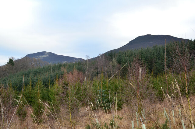
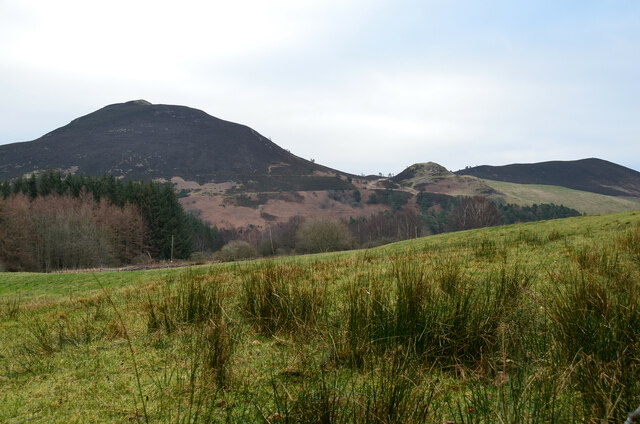
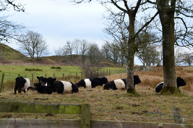
Broad Wood is a sprawling forest located in the county of Roxburghshire, Scotland. Covering an extensive area of approximately 500 hectares, it is a prominent natural landmark in the region. The wood is characterized by its diverse range of tree species, including oak, birch, beech, and pine, creating a rich and vibrant ecosystem.

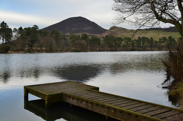
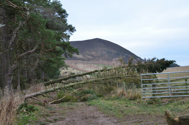
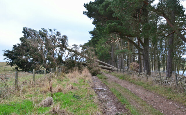
The forest boasts a variety of walking trails, making it a popular destination for hikers, nature enthusiasts, and families. The paths wind through the dense vegetation, offering visitors the opportunity to immerse themselves in the tranquil surroundings and observe the abundant wildlife. Deer, foxes, and a multitude of bird species can frequently be spotted throughout the woodland.

Broad Wood also holds historical significance, with evidence of human habitation dating back centuries. The remains of ancient settlements and structures, such as stone circles and burial mounds, can be found within the forest, providing a glimpse into the area's past.

The wood is well-maintained by the local authorities, ensuring its preservation and accessibility to the public. It serves as a valuable resource for research and educational purposes, with educational programs and guided tours organized for schools and visitors interested in learning about the flora, fauna, and history of the forest.

Overall, Broad Wood offers a serene and captivating natural environment, providing an escape from the hustle and bustle of everyday life. Its beauty, biodiversity, and historical significance make it a cherished destination for both locals and tourists alike.

If you have any feedback on the listing, please let us know in the comments section below.
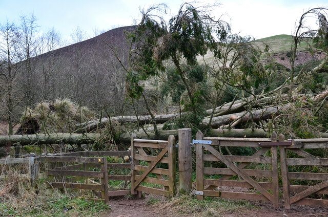
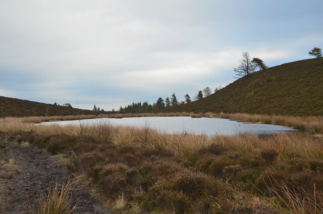
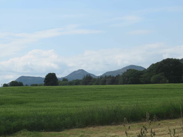
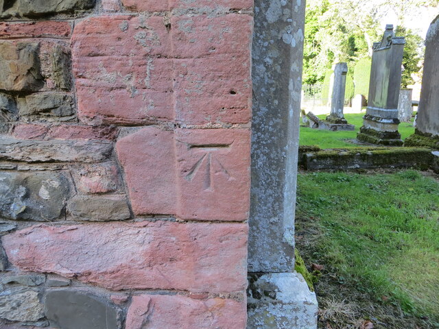
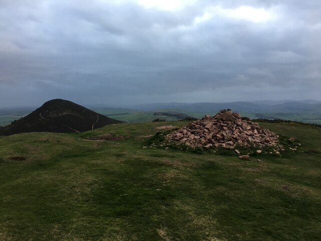
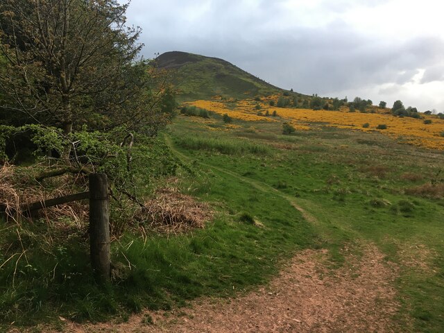
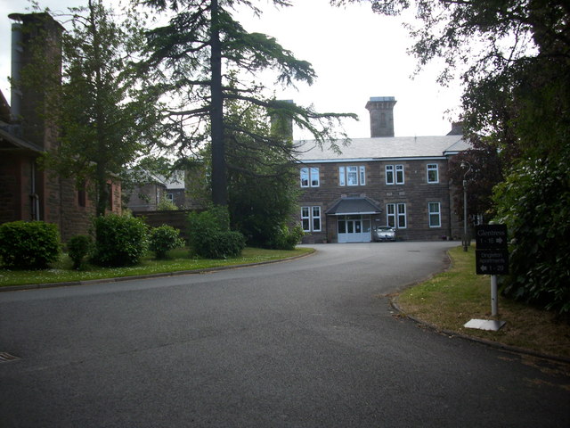
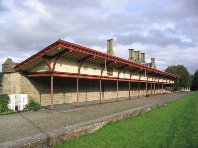
Broad Wood Images

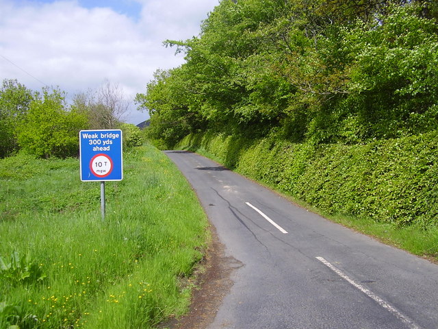
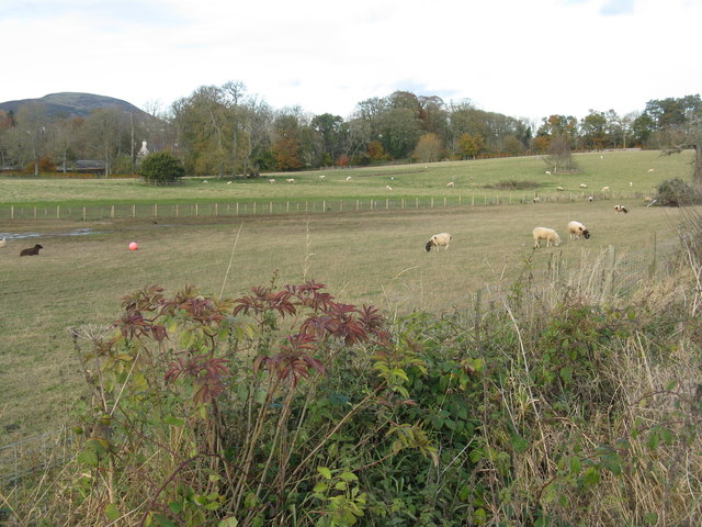
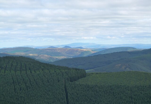
Images are sourced within 2km of 55.579032/-2.7105888 or Grid Reference NT5531. Thanks to Geograph Open Source API. All images are credited.

Road to Bowden Kirk From junction with A699. Selkirk to St. Boswells Road
Road to Bowden Kirk
From junction with A699. Selkirk to St. Boswells Road
Fields near Bowden Grazing land by the A699, near to Bowden church and manse.
Fields near Bowden
Grazing land by the A699, near to Bowden church and manse.
The Eildon Hills from Lee Pen The triple summits above Melrose with The Cheviot in the distance, about 60km away.
The Eildon Hills from Lee Pen
The triple summits above Melrose with The Cheviot in the distance, about 60km away.
Dawn at the summit of Eildon Mid Hill The trig point and toposcope are silhouetted against a colourful sky about 15 minutes before sunrise.
Dawn at the summit of Eildon Mid Hill
The trig point and toposcope are silhouetted against a colourful sky about 15 minutes before sunrise.
Bowden Kirk and part of its burial ground Viewed from the southwest.
Bowden Kirk and part of its burial ground
Viewed from the southwest.
Eildon Hills from plantations near Dingleton Eildon Hill North (L) and Eildon Mid Hill seen from a minor road west of Dingleton.
Eildon Hills from plantations near Dingleton
Eildon Hill North (L) and Eildon Mid Hill seen from a minor road west of Dingleton.
Eildon Hills from the west Eildon Mid Hill (L), Little Hill (centre) and Wester Hill (R) seen from the single-track road west of Dingleton.
Eildon Hills from the west
Eildon Mid Hill (L), Little Hill (centre) and Wester Hill (R) seen from the single-track road west of Dingleton.
Road junction near Bowdenmoor Reservoir The single-track road meets the B6359 road from Dingleton.
Road junction near Bowdenmoor Reservoir
The single-track road meets the B6359 road from Dingleton.
Belted Galloway cattle, Bowdenmoor Distinctive black and white cattle by the B6359.
Belted Galloway cattle, Bowdenmoor
Distinctive black and white cattle by the B6359.
Bowden Loch This former reservoir is a fishery and it had attracted a number of anglers and walkers on this Sunday afternoon. Eildon Mid Hill dominates the skyline with Little Hill to the right.
Bowden Loch
This former reservoir is a fishery and it had attracted a number of anglers and walkers on this Sunday afternoon. Eildon Mid Hill dominates the skyline with Little Hill to the right.
Fallen trees at Bowden Loch Two Scots pines across the track, aftermath of Storm Arwen's northerly gales in November last year.
Fallen trees at Bowden Loch
Two Scots pines across the track, aftermath of Storm Arwen's northerly gales in November last year.
More fallen trees at Bowden Loch Two more Scots pines near the loch shore, brought down in Storm Arwen in November last year.
More fallen trees at Bowden Loch
Two more Scots pines near the loch shore, brought down in Storm Arwen in November last year.
Fallen trees at east end of Bowden Loch More Scots pines brought down here in Storm Arwen last November. Fortunately there was enough room to squeeze past to the right to gain the open hillside.
Fallen trees at east end of Bowden Loch
More Scots pines brought down here in Storm Arwen last November. Fortunately there was enough room to squeeze past to the right to gain the open hillside.
Lochan below Eildon Mid Hill A lochan on the col between Mid Hill and Wester Hill, not shown on the 1:25,000 map. The path skirts its northern edge.
Lochan below Eildon Mid Hill
A lochan on the col between Mid Hill and Wester Hill, not shown on the 1:25,000 map. The path skirts its northern edge.
View towards Eildon Hills
Ordnance Survey Cut Mark This mark can be found on the wall of Bowden Kirk.
A height of 524.6 feet above sea level is recorded.
For more details see : <span class="nowrap"><a title="https://www.bench-marks.org.uk/bm35018" rel="nofollow ugc noopener" href="https://www.bench-marks.org.uk/bm35018">Link</a><img style="margin-left:2px;" alt="External link" title="External link - shift click to open in new window" src="https://s1.geograph.org.uk/img/external.png" width="10" height="10"/></span>
Ordnance Survey Cut Mark
This mark can be found on the wall of Bowden Kirk. A height of 524.6 feet above sea level is recorded. For more details see : LinkExternal link
Summit cairn on Eildon Hill North
Path at the edge of Whinnyfield Plantation
Show me another place!

Broad Wood is located at Grid Ref: NT5531 (Lat: 55.579032, Lng: -2.7105888)

Unitary Authority: The Scottish Borders

Police Authority: The Lothians and Scottish Borders

What 3 Words

///froth.stag.developed. Near Melrose, Scottish Borders

Related Wikis

Nearby Amenities

Located within 500m of 55.579032,-2.7105888
Chesterhall
Place: hamlet
Lat/Long: 55.5778355/-2.7050406
Siller Stane
Place: locality
Lat/Long: 55.5829936/-2.7130348
Power: pole
Lat/Long: 55.5782969/-2.7036652
Power: pole
Lat/Long: 55.5782091/-2.7050243
The data included in this document is from www.openstreetmap.org. The data is made available under ODbL.

Have you been to Broad Wood?

Leave your review of Broad Wood below (or comments, questions and feedback).