Black Wood
Wood, Forest in Angus
Scotland
Black Wood
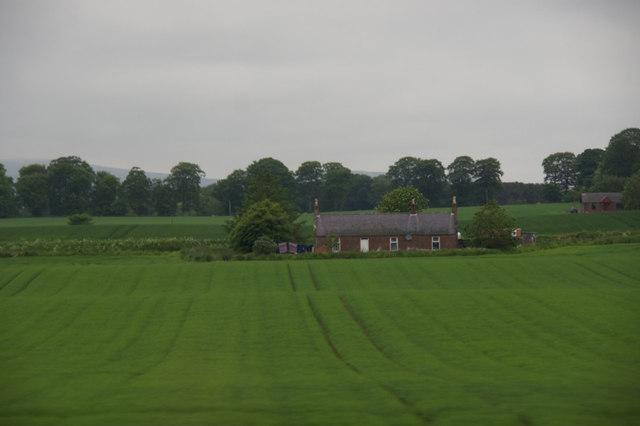
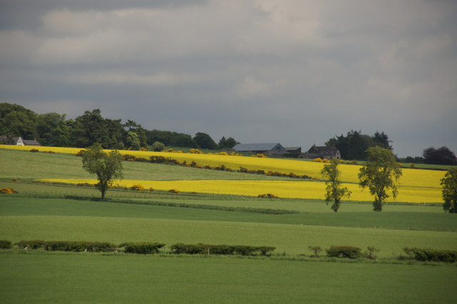
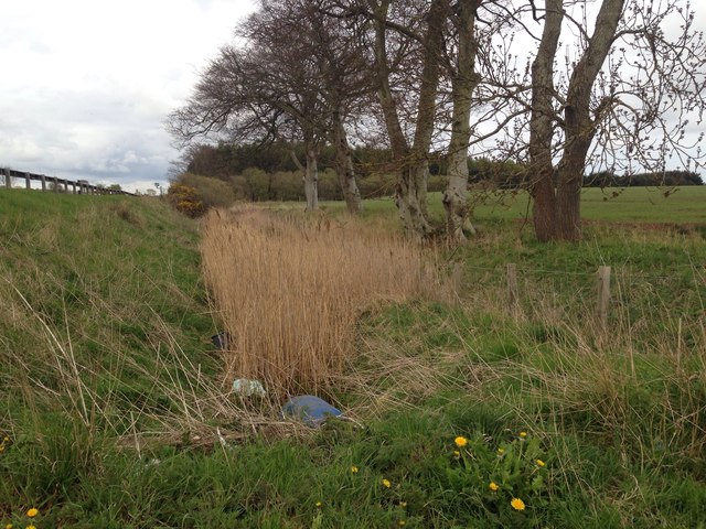
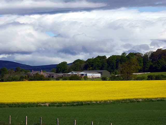
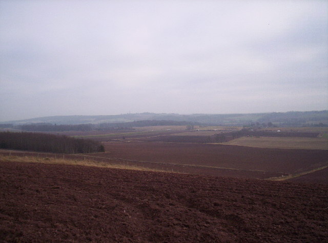
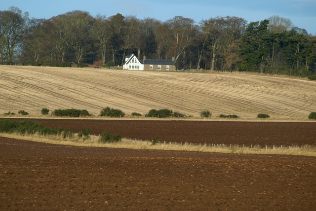
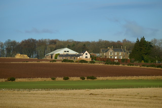
Black Wood, Angus is a lush forest located in the Angus region of Scotland. Covering an area of approximately 120 hectares, this ancient woodland is known for its rich biodiversity and historical significance. The forest is primarily composed of native tree species such as oak, birch, rowan, and hazel, which form a dense canopy that shades the forest floor.
Black Wood, Angus is renowned for its stunning beauty and tranquil atmosphere, attracting nature enthusiasts and hikers from near and far. The forest offers a network of well-maintained trails, allowing visitors to explore its diverse ecosystem and discover its hidden treasures. Along these paths, one can encounter a wide variety of wildlife including red squirrels, roe deer, and a multitude of bird species.
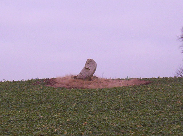
The wood holds a special place in history, with remnants of ancient settlements and archaeological sites scattered throughout its vicinity. These remnants serve as a testament to the forest's long-standing human connection. Additionally, Black Wood, Angus is home to several historical monuments, including a stone circle and a burial mound, which add to its cultural significance.
Furthermore, the wood is actively managed to preserve and enhance its natural heritage. Conservation efforts focus on maintaining the forest's biodiversity, protecting rare plant species, and creating a sustainable habitat for its animal inhabitants. The management also includes regular tree planting initiatives to ensure the continuous growth and replenishment of the woodland.
Overall, Black Wood, Angus offers a captivating blend of natural beauty, historical significance, and ecological importance. It stands as a remarkable destination for those seeking a peaceful retreat in the heart of Scotland's countryside.
If you have any feedback on the listing, please let us know in the comments section below.
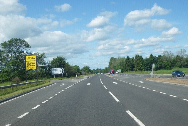
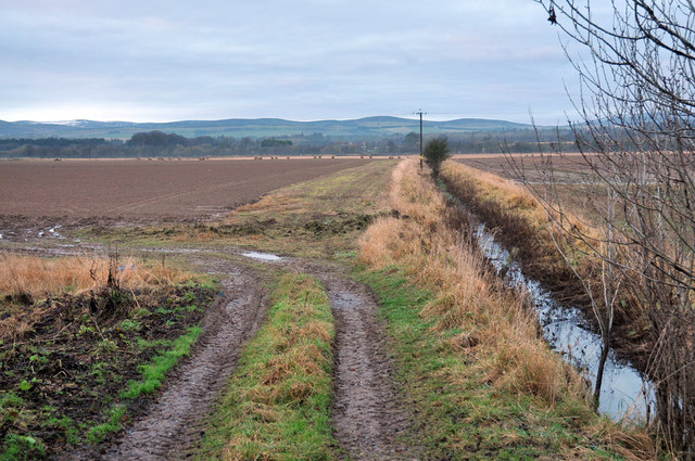
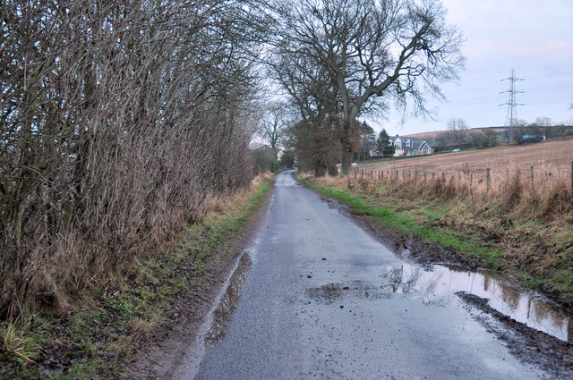
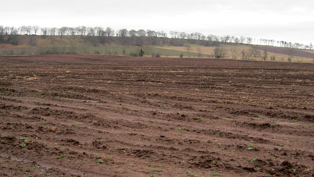
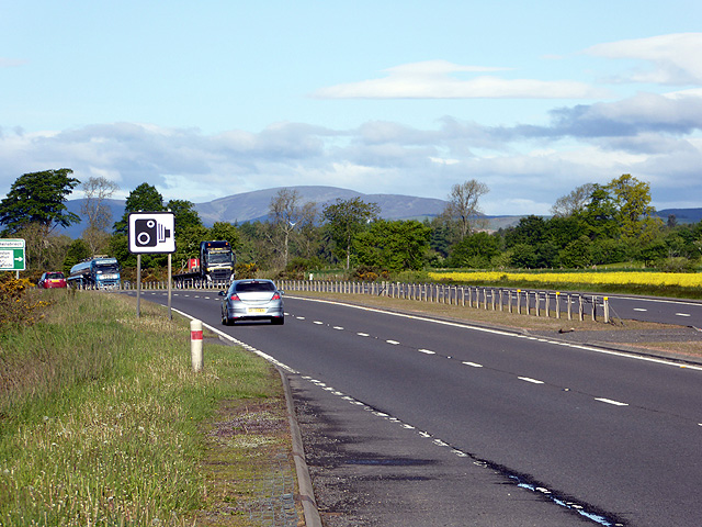
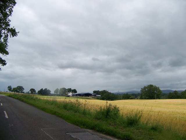
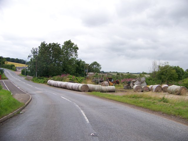
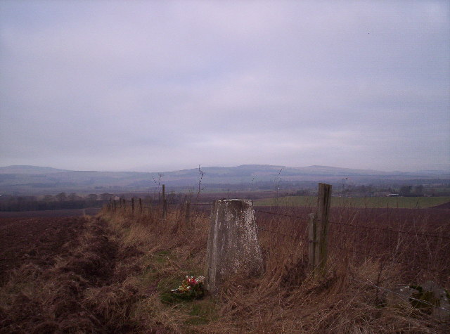
Black Wood Images
Images are sourced within 2km of 56.721476/-2.7320952 or Grid Reference NO5559. Thanks to Geograph Open Source API. All images are credited.
Black Wood is located at Grid Ref: NO5559 (Lat: 56.721476, Lng: -2.7320952)
Unitary Authority: Angus
Police Authority: Tayside
What 3 Words
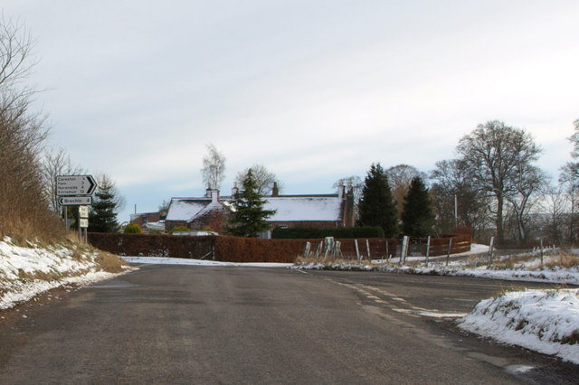
///evaporate.vanish.glosses. Near Brechin, Angus
Nearby Locations
Related Wikis

Careston Castle
Careston Castle, also known as Caraldston Castle, is an L-plan tower house dating from the 16th century, on a 1,528-acre estate, in Careston parish, Angus...
Careston
Careston is a hamlet in Angus, Scotland that is in the parish of the same name, 5 miles west of Brechin. The parish and hamlet supposedly took their name...

Careston railway station
Careston railway station served the hamlet of Careston, Angus, Scotland, from 1895 to 1964 on the Forfar and Brechin Railway. == History == The station...

Melgund Castle
Melgund Castle, lying around two kilometres (1.2 mi) due east of Aberlemno in Angus, Scotland, is a 16th-century L-plan castle which has been partially...

Brechin High School
Brechin High School is a non-denominational secondary school in Brechin, Angus, Scotland == Admissions == It has approximately 660 students. The school...
Brechin Monastery
Brechin Monastery was a Culdee religious house located in the county of Angus in Scotland. It was founded during the reign of Kenneth II (971–995). No...

Brechin Cathedral
Brechin Cathedral dates from the 13th century. As a congregation of the Church of Scotland, which is Presbyterian, the church is not technically a cathedral...

Brechin Town House
Brechin Town House is a municipal structure in the High Street in Brechin, Angus, Scotland. The structure, which is now used as a museum, is a Category...
Nearby Amenities
Located within 500m of 56.721476,-2.7320952Have you been to Black Wood?
Leave your review of Black Wood below (or comments, questions and feedback).