Cavers Mains Strip

Wood, Forest in Roxburghshire

Scotland

Cavers Mains Strip

Crop field beside the River Teviot Narrow strip of land beside the A698.
Crop field beside the River Teviot Credit: JThomas

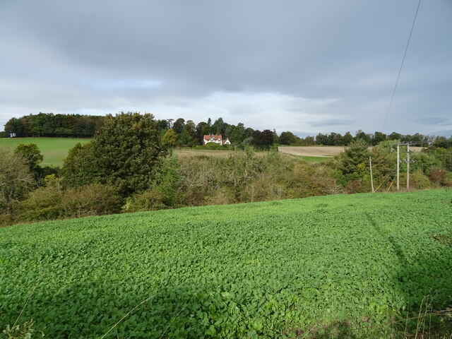
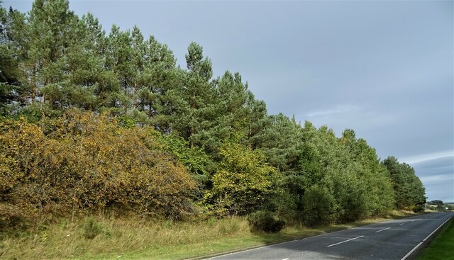
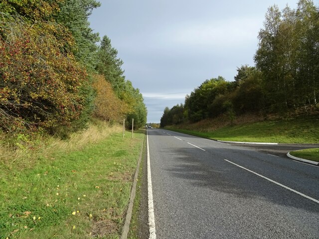
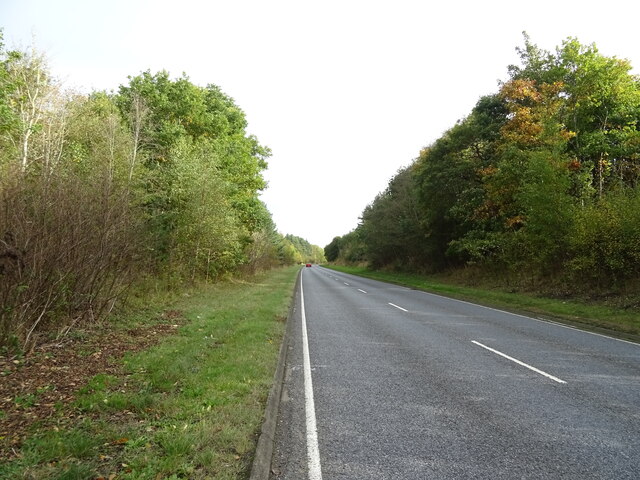
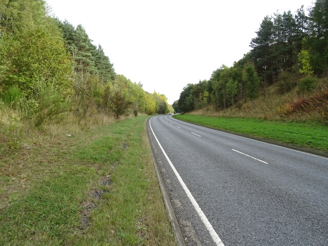
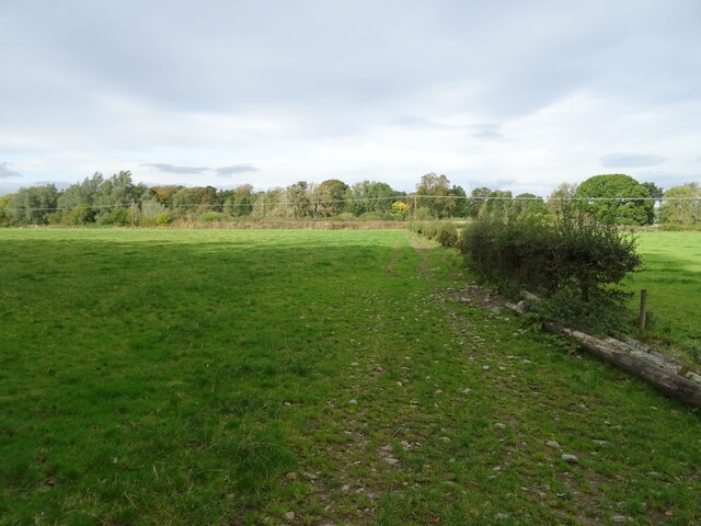
Cavers Mains Strip is a woodland area located in Roxburghshire, a historic county in the southern part of Scotland. Situated near the small village of Cavers, this strip of woodlands stretches across a vast area, offering a unique natural habitat for various species of flora and fauna.

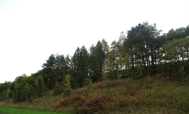
The woodland is predominantly composed of a mixture of deciduous and coniferous trees, including oak, beech, ash, and spruce. These trees provide a dense canopy, creating a shaded and tranquil environment within the strip. The forest floor is covered in a thick layer of leaf litter, moss, and ferns, adding to its natural beauty.

Cavers Mains Strip is home to a diverse range of wildlife. Squirrels, rabbits, and deer are commonly spotted throughout the woodland, while a variety of bird species, such as woodpeckers, tits, and finches, can be heard chirping and seen flitting among the branches. The area also supports a rich insect population, including butterflies, bees, and beetles.

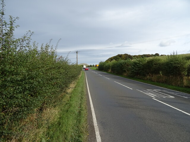
The woodlands are a popular destination for nature enthusiasts and outdoor enthusiasts alike. Walking trails and paths have been established, providing visitors with the opportunity to explore the area and immerse themselves in the peaceful surroundings. The strip is also a favored spot for picnics and nature photography.

Cavers Mains Strip offers a serene escape from the hustle and bustle of everyday life, allowing visitors to reconnect with nature and enjoy the beauty of Scotland's woodlands.

If you have any feedback on the listing, please let us know in the comments section below.

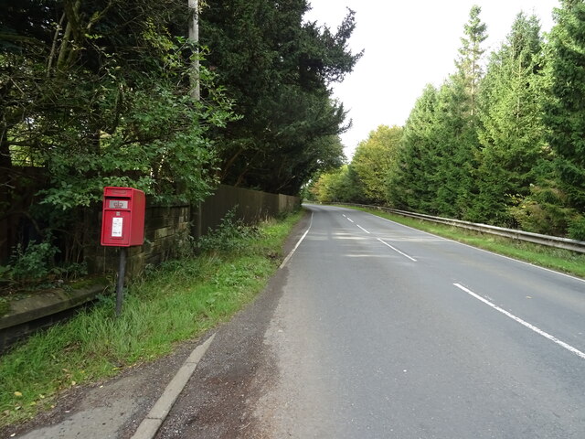
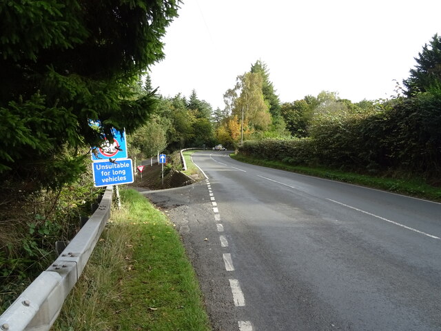
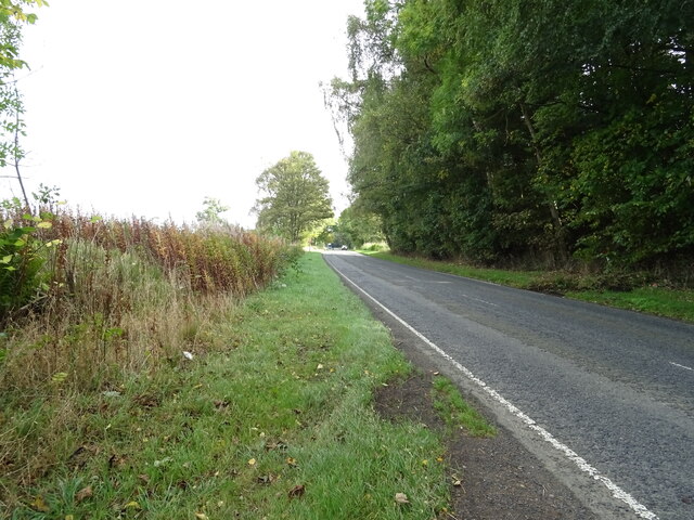
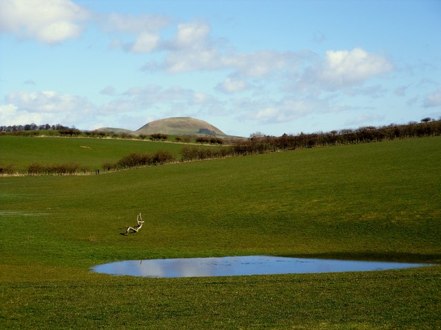
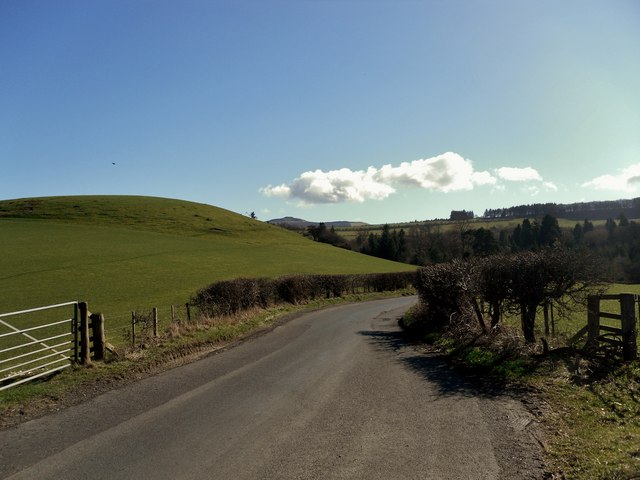
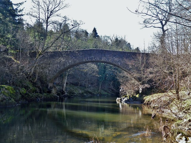
Cavers Mains Strip Images

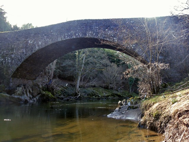
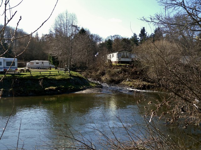
Images are sourced within 2km of 55.445991/-2.7213478 or Grid Reference NT5417. Thanks to Geograph Open Source API. All images are credited.

Crop field beside the River Teviot Narrow strip of land beside the A698.
Crop field beside the River Teviot
Narrow strip of land beside the A698.
A698 towards Denholm
Lodge on the A698 near 	Hornshole Bridge
Lodge on the A698 near Hornshole Bridge
Postbox on the A698 near Hornshole Bridge Postbox No. TD9 36.

See <a href="https://www.geograph.org.uk/photo/7017000">NT5316 : A698 near Hornshole Bridge</a> for context.
Postbox on the A698 near Hornshole Bridge
Postbox No. TD9 36. See NT5316 : A698 near Hornshole Bridge for context.
A698 near Hornshole Bridge Towards Hawick.
Showing position of Postbox No. TD9 36.

See <a href="https://www.geograph.org.uk/photo/7016998">NT5316 : Postbox on the A698 near Hornshole Bridge</a> for postbox.
A698 near Hornshole Bridge
Towards Hawick. Showing position of Postbox No. TD9 36. See NT5316 : Postbox on the A698 near Hornshole Bridge for postbox.
A698 towards Denholm At the junction of the road to Hornshole Bridge.
A698 towards Denholm
At the junction of the road to Hornshole Bridge.
Woodland beside the A698, Old Ashybank
A698, Old Ashybank Towards Denholm.
A698, Old Ashybank
Towards Denholm.
A698, Teviotdale Towards Denholm.
A698, Teviotdale
Towards Denholm.
Wooded embankment beside the A698, Teviotdale
A698 towards Denholm
Grazing and hedgerow, Teviot Bank
A698 beside woodland, Teviotdale Towards Denholm.
A698 beside woodland, Teviotdale
Towards Denholm.
Farmland at Hornshole The Minto Hills can be seen in the background
Farmland at Hornshole
The Minto Hills can be seen in the background
The Road to Hornshole
The Hornshole Bridge crosses the River Teviot
Hornshole Bridge
Hornshole Bridge
The Kirkton Burn enters the River Teviot
Show me another place!

Cavers Mains Strip is located at Grid Ref: NT5417 (Lat: 55.445991, Lng: -2.7213478)

Unitary Authority: The Scottish Borders

Police Authority: The Lothians and Scottish Borders

What 3 Words

///raves.observers.drawn. Near Hawick, Scottish Borders

Related Wikis

Cavers, Scottish Borders

Cavers is a parish in the Scottish Borders area of Scotland, in the former county of Roxburghshire, south and east of Hawick. The largest village in the...

Cavers Castle

Cavers Castle, also known as Cavers House, is a ruined tower house located at Cavers, Scottish Borders, Scotland. Cavers Castle was a much extended tower...

Appletreehall

Appletreehall is a village in the Scottish Borders area of Scotland, 2 miles (3 kilometres) north-east of Hawick, in the historic county of Roxburghshire...

Westgate Hall, Denholm

Westgate Hall is located in Westgate in the village of Denholm, Roxburghshire, in the Scottish Borders. It stands at the western and south-western approaches...

Nearby Amenities

Located within 500m of 55.445991,-2.7213478
Power: pole
Source: Bing
Lat/Long: 55.4476358/-2.7139787
Eastcote
Place: hamlet
Lat/Long: 55.4489985/-2.7271725
Ashley Park
Place: isolated_dwelling
Lat/Long: 55.4477953/-2.7178908
Material: wood
Power: pole
Lat/Long: 55.4493408/-2.7216356
Material: wood
Power: pole
Lat/Long: 55.44968/-2.7236255
Power: pole
Lat/Long: 55.4499121/-2.7249869
Power: pole
Lat/Long: 55.4486198/-2.7182814
Power: pole
Lat/Long: 55.4489169/-2.7195807
Power: pole
Lat/Long: 55.4478725/-2.7150135
Power: pole
Lat/Long: 55.4480965/-2.715993
Power: pole
Lat/Long: 55.4483275/-2.7170033
Power: pole
Lat/Long: 55.4492057/-2.7208433
Power: pole
Lat/Long: 55.4495389/-2.7227976
Power: pole
Lat/Long: 55.4440949/-2.7275038
Power: pole
Lat/Long: 55.4445598/-2.7267479
Power: pole
Lat/Long: 55.4450549/-2.7259513
Power: pole
Lat/Long: 55.4455457/-2.7251699
Power: pole
Lat/Long: 55.4460438/-2.724358
Power: pole
Lat/Long: 55.4465562/-2.7235411
Power: pole
Lat/Long: 55.4471812/-2.7225179
Power: pole
Lat/Long: 55.4474793/-2.7147516
Power: pole
Lat/Long: 55.4478719/-2.7154744
Power: pole
Lat/Long: 55.4484724/-2.7165764
Power: pole
Lat/Long: 55.4488665/-2.7173171
Power: pole
Lat/Long: 55.4492995/-2.7181035
The data included in this document is from www.openstreetmap.org. The data is made available under ODbL.

Have you been to Cavers Mains Strip?

Leave your review of Cavers Mains Strip below (or comments, questions and feedback).