Roughhopes Plantation

Wood, Forest in Roxburghshire

Scotland

Roughhopes Plantation

Lodge on the A698 near 	Hornshole Bridge
Lodge on the A698 near Hornshole Bridge Credit: JThomas

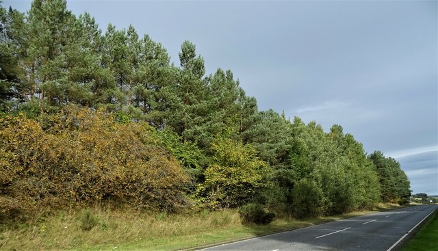
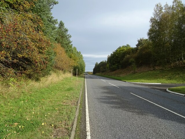
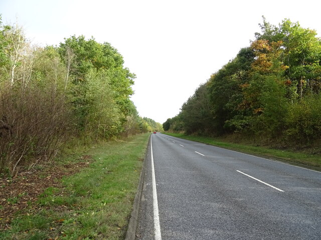
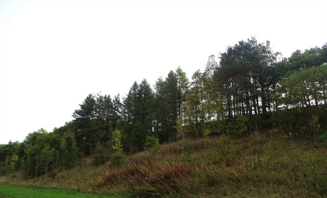
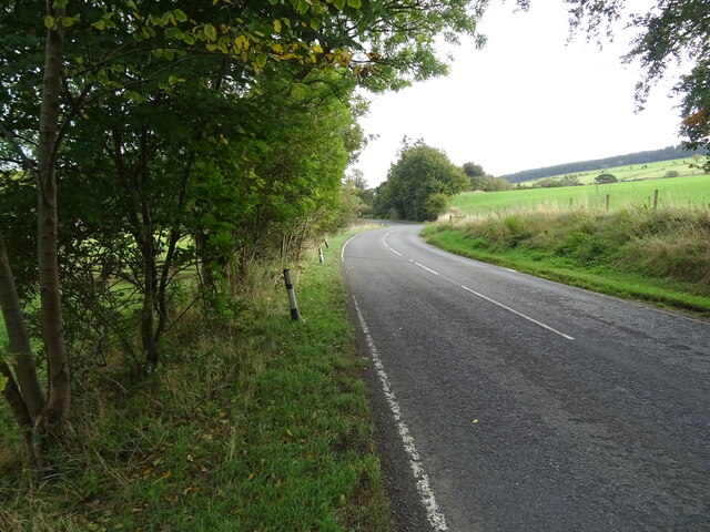
Roughhopes Plantation is a sprawling woodland located in Roxburghshire, a historic county in the Scottish Borders region of Scotland. Covering an area of approximately 500 hectares, this plantation is known for its dense and diverse array of trees, making it a prime destination for nature enthusiasts and hikers alike.

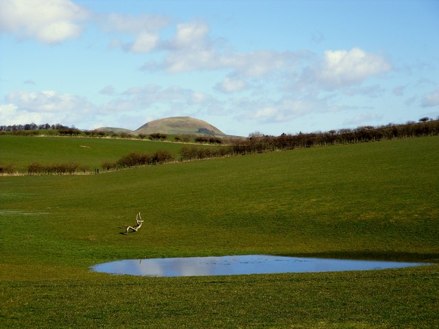
The woodland is primarily composed of native species such as oak, beech, and birch, which have flourished in the fertile soil and favorable climate of the region. The mature trees provide a dense canopy that shelters a variety of flora and fauna, making it an important habitat for wildlife.

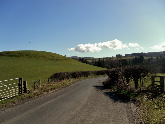
Visitors to Roughhopes Plantation can explore a network of well-maintained walking trails that wind through the woodland, offering stunning views of the surrounding countryside. These paths cater to all levels of fitness and provide ample opportunities for birdwatching, photography, and simply immersing oneself in the tranquil beauty of nature.

The plantation is managed by a team of dedicated forestry professionals who work to maintain the health and vitality of the woodland. They undertake regular tree planting, maintenance, and conservation efforts to ensure the sustainability of the ecosystem.

Roughhopes Plantation is not only a haven for flora and fauna but also serves as an important carbon sink, contributing to the fight against climate change. Its vast expanse of trees acts as a natural filter, absorbing carbon dioxide and releasing oxygen, making it a crucial part of the region's ecological balance.

Overall, Roughhopes Plantation is a magnificent woodland that offers a serene escape from the hustle and bustle of everyday life, allowing visitors to reconnect with nature and appreciate the immense beauty of Roxburghshire's natural heritage.

If you have any feedback on the listing, please let us know in the comments section below.

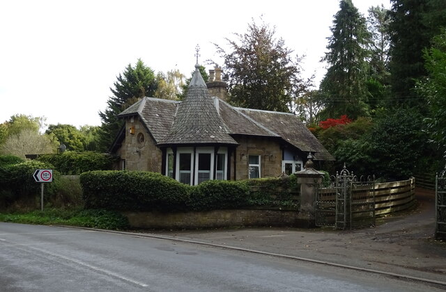
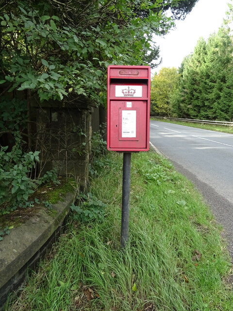
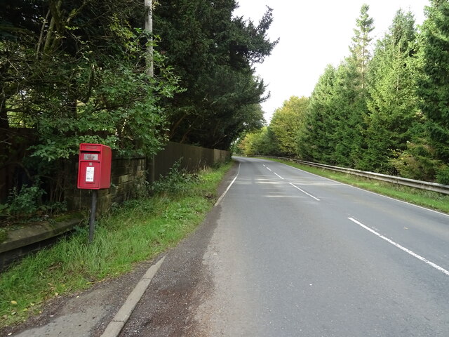
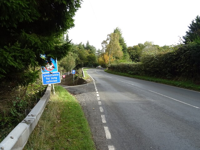
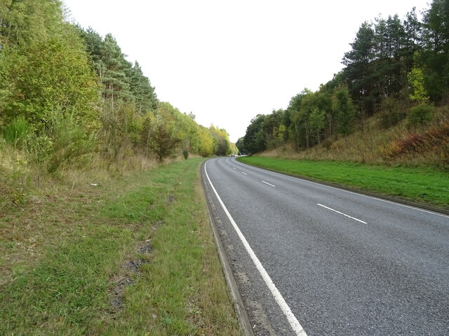
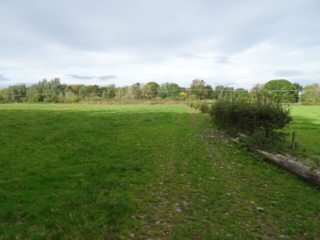
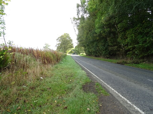
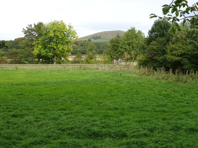
Roughhopes Plantation Images

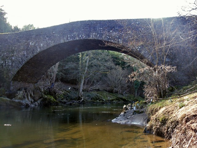
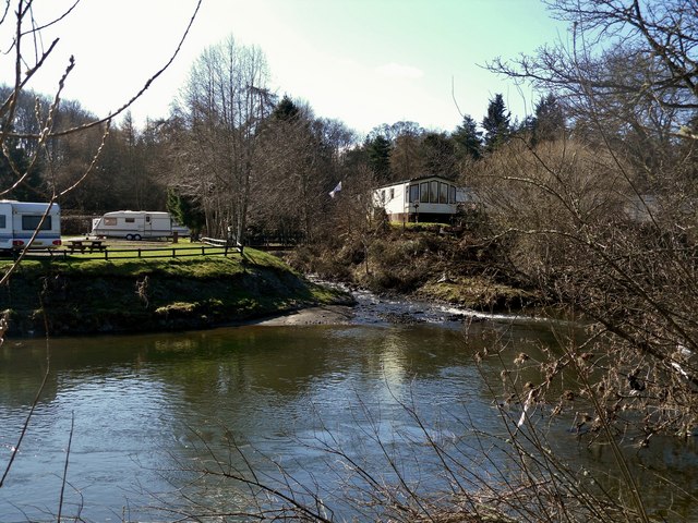
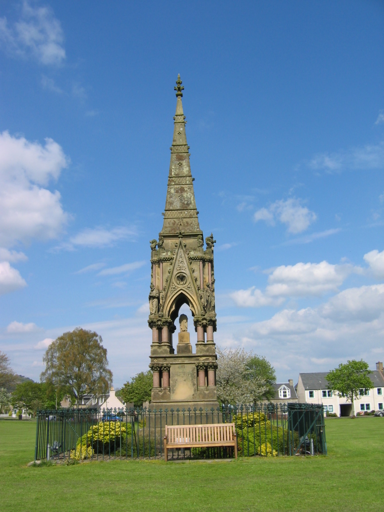
Images are sourced within 2km of 55.448848/-2.7151552 or Grid Reference NT5417. Thanks to Geograph Open Source API. All images are credited.

Lodge on the A698 near 	Hornshole Bridge
Lodge on the A698 near Hornshole Bridge
Postbox on the A698 near Hornshole Bridge Postbox No. TD9 36.

See <a href="https://www.geograph.org.uk/photo/7017000">NT5316 : A698 near Hornshole Bridge</a> for context.
Postbox on the A698 near Hornshole Bridge
Postbox No. TD9 36. See NT5316 : A698 near Hornshole Bridge for context.
A698 near Hornshole Bridge Towards Hawick.
Showing position of Postbox No. TD9 36.

See <a href="https://www.geograph.org.uk/photo/7016998">NT5316 : Postbox on the A698 near Hornshole Bridge</a> for postbox.
A698 near Hornshole Bridge
Towards Hawick. Showing position of Postbox No. TD9 36. See NT5316 : Postbox on the A698 near Hornshole Bridge for postbox.
A698 towards Denholm At the junction of the road to Hornshole Bridge.
A698 towards Denholm
At the junction of the road to Hornshole Bridge.
Woodland beside the A698, Old Ashybank
A698, Old Ashybank Towards Denholm.
A698, Old Ashybank
Towards Denholm.
A698, Teviotdale Towards Denholm.
A698, Teviotdale
Towards Denholm.
Wooded embankment beside the A698, Teviotdale
A698 towards Denholm
Grazing and hedgerow, Teviot Bank
A698 beside woodland, Teviotdale Towards Denholm.
A698 beside woodland, Teviotdale
Towards Denholm.
Grazing, Denholm Bridge Towards the River Teviot.
Grazing, Denholm Bridge
Towards the River Teviot.
A698 approaching Denholm
Farmland at Hornshole The Minto Hills can be seen in the background
Farmland at Hornshole
The Minto Hills can be seen in the background
The Road to Hornshole
The Hornshole Bridge crosses the River Teviot
Hornshole Bridge
Hornshole Bridge
The Kirkton Burn enters the River Teviot
Show me another place!

Roughhopes Plantation is located at Grid Ref: NT5417 (Lat: 55.448848, Lng: -2.7151552)

Unitary Authority: The Scottish Borders

Police Authority: The Lothians and Scottish Borders

What 3 Words

///rate.goofy.client. Near Hawick, Scottish Borders

Related Wikis

Cavers, Scottish Borders

Cavers is a parish in the Scottish Borders area of Scotland, in the former county of Roxburghshire, south and east of Hawick. The largest village in the...

Westgate Hall, Denholm

Westgate Hall is located in Westgate in the village of Denholm, Roxburghshire, in the Scottish Borders. It stands at the western and south-western approaches...

Cavers Castle

Cavers Castle, also known as Cavers House, is a ruined tower house located at Cavers, Scottish Borders, Scotland. Cavers Castle was a much extended tower...

Denholm

Denholm is a small village located between Jedburgh and Hawick in the Scottish Borders region of Scotland, UK. The estimated population of Denholm is 600...

Nearby Amenities

Located within 500m of 55.448848,-2.7151552
Bus Stop
Ashybank Road End
Bus: yes
Naptan AtcoCode: 69001263
Naptan Bearing: E
Naptan CommonName: Ashybank Rd End
Naptan Indicator: opp
Naptan Landmark: Ashybank
Naptan NaptanCode: 72725836
Naptan Street: A698
Operator: Scottish Borders Council
Public Transport: platform
Ref: 69001263
Source: NaPTAN
Lat/Long: 55.4507221/-2.7201859
Bus Stop
Ashybank Road End
Bus: yes
Naptan AtcoCode: 69001264
Naptan Bearing: W
Naptan CommonName: Ashybank Rd End
Naptan Indicator: adj
Naptan Landmark: Ashybank
Naptan NaptanCode: 72725834
Naptan Street: A698
Operator: Scottish Borders Council
Public Transport: platform
Ref: 69001264
Source: NaPTAN
Lat/Long: 55.450515/-2.7202611
Power: pole
Source: Bing
Lat/Long: 55.4463919/-2.7085394
Power: pole
Source: Bing
Lat/Long: 55.4465148/-2.7090769
Power: pole
Source: Bing
Lat/Long: 55.4467844/-2.7102556
Power: pole
Source: Bing
Lat/Long: 55.4470557/-2.7114421
Power: pole
Source: Bing
Lat/Long: 55.4473302/-2.7126423
Power: pole
Source: Bing
Lat/Long: 55.4476358/-2.7139787
Power: pole
Source: Bing
Lat/Long: 55.45151/-2.7170384
Power: pole
Source: Bing
Lat/Long: 55.4514783/-2.7163563
Power: pole
Source: Bing
Lat/Long: 55.4516711/-2.7138977
Material: wood
Power: pole
Source: Bing
Lat/Long: 55.4512556/-2.720778
Power: pole
Source: Bing
Lat/Long: 55.4518813/-2.7112178
Power: pole
Source: Bing
Lat/Long: 55.4513303/-2.718825
Give Way
Direction: forward
Lat/Long: 55.4455295/-2.7106358
Acorns
Place: isolated_dwelling
Lat/Long: 55.4523589/-2.7163821
Ashybank
Place: isolated_dwelling
Lat/Long: 55.4508659/-2.7182589
Romavale
Place: isolated_dwelling
Lat/Long: 55.4519586/-2.7196274
Ashley Park
Place: isolated_dwelling
Lat/Long: 55.4477953/-2.7178908
Bramblewood
Place: isolated_dwelling
Lat/Long: 55.4461725/-2.7132886
Material: wood
Power: pole
Lat/Long: 55.4493408/-2.7216356
Power: pole
Lat/Long: 55.4486198/-2.7182814
Power: pole
Lat/Long: 55.4489169/-2.7195807
Power: pole
Lat/Long: 55.447877/-2.7076292
Power: pole
Lat/Long: 55.4471293/-2.7082858
Power: pole
Lat/Long: 55.4464169/-2.7089221
Power: pole
Lat/Long: 55.4478725/-2.7150135
Power: pole
Lat/Long: 55.4480965/-2.715993
Power: pole
Lat/Long: 55.4483275/-2.7170033
Power: pole
Lat/Long: 55.4492057/-2.7208433
Power: pole
Lat/Long: 55.4495389/-2.7227976
Power: pole
Lat/Long: 55.4471812/-2.7225179
Power: pole
Lat/Long: 55.4519785/-2.7099781
Power: pole
Lat/Long: 55.4517855/-2.7124392
Power: pole
Lat/Long: 55.4515545/-2.7153838
Power: pole
Lat/Long: 55.4514498/-2.717637
Power: pole
Lat/Long: 55.4513082/-2.719403
Power: pole
Lat/Long: 55.4474793/-2.7147516
Power: pole
Lat/Long: 55.4478719/-2.7154744
Power: pole
Lat/Long: 55.4484724/-2.7165764
Power: pole
Lat/Long: 55.4488665/-2.7173171
Power: pole
Lat/Long: 55.4492995/-2.7181035
Power: pole
Lat/Long: 55.4498725/-2.7168819
Power: pole
Lat/Long: 55.450001/-2.7166146
Power: pole
Lat/Long: 55.4502059/-2.7160547
Power: pole
Lat/Long: 55.4506029/-2.7150138
The data included in this document is from www.openstreetmap.org. The data is made available under ODbL.

Have you been to Roughhopes Plantation?

Leave your review of Roughhopes Plantation below (or comments, questions and feedback).