Ashybank Strip
Wood, Forest in Roxburghshire
Scotland
Ashybank Strip
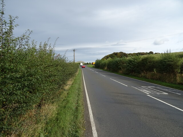
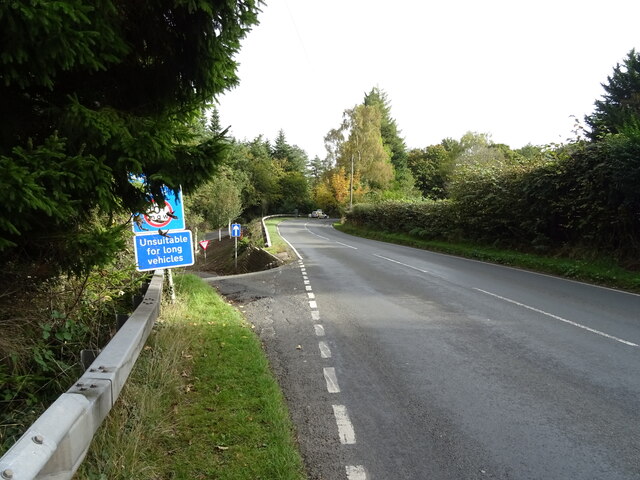
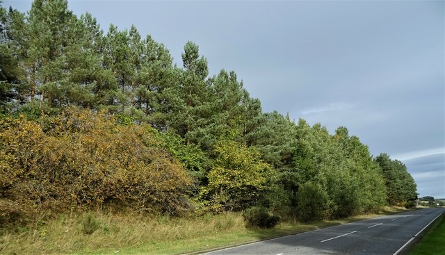
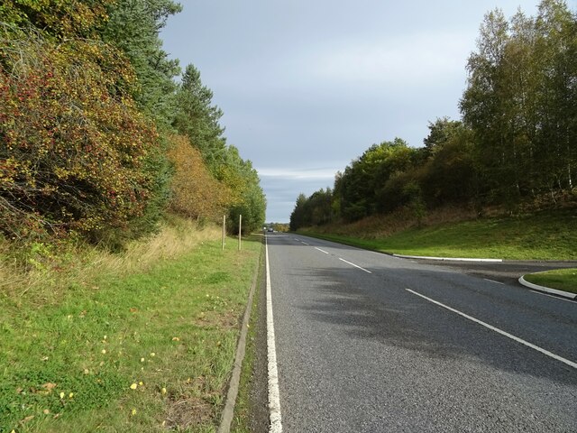
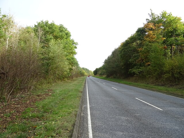
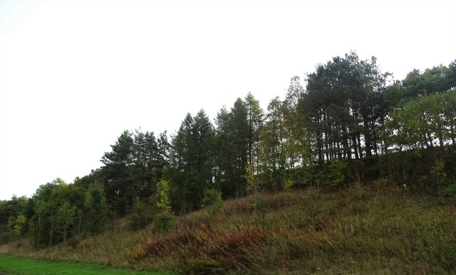
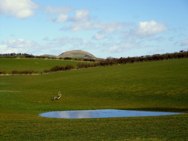
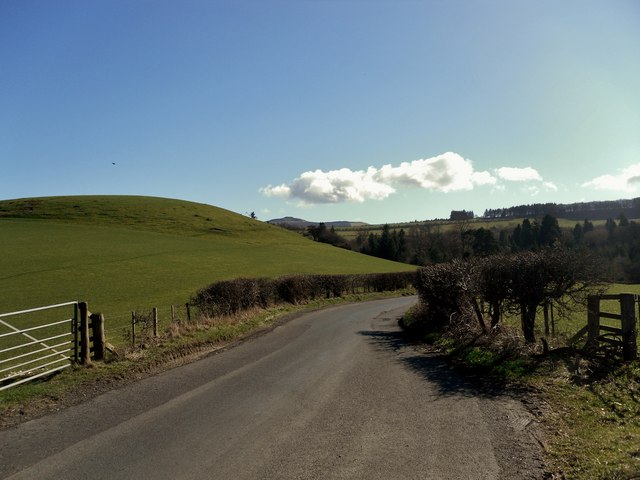
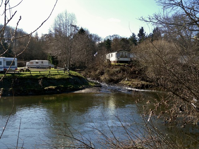
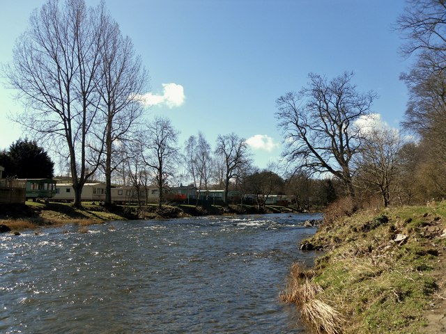
Ashybank Strip is a scenic wooded area located in Roxburghshire, a historic county in the Scottish Borders region of Scotland. Spread over a vast expanse, this forested landscape is a haven for nature enthusiasts and outdoor adventurers alike.
The strip is predominantly covered in dense woodland which consists of a diverse range of tree species, including oak, birch, beech, and pine. These trees provide a rich habitat for a variety of wildlife, making it an ideal spot for birdwatching and wildlife spotting. Visitors may be lucky enough to catch a glimpse of red squirrels, deer, and a wide array of bird species such as woodpeckers, owls, and songbirds.
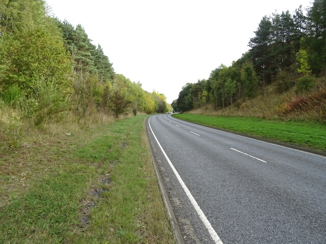
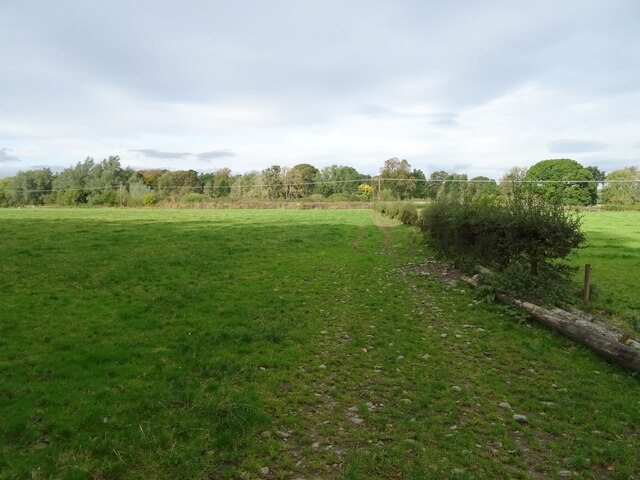
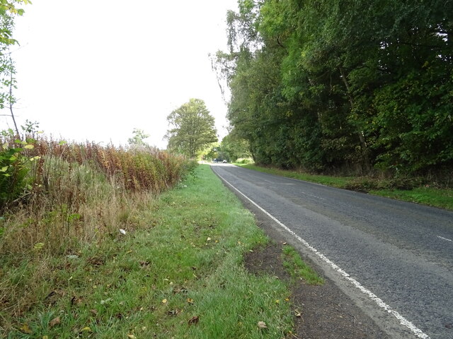
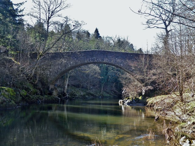
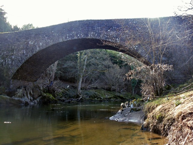
Ashybank Strip offers numerous walking trails and paths, allowing visitors to explore the natural beauty at their own pace. The forest is crisscrossed by well-maintained footpaths, providing easy access to its hidden gems. The trails wind through the woodland, offering stunning views of the surrounding countryside, and leading to picturesque spots like tranquil streams and small waterfalls.
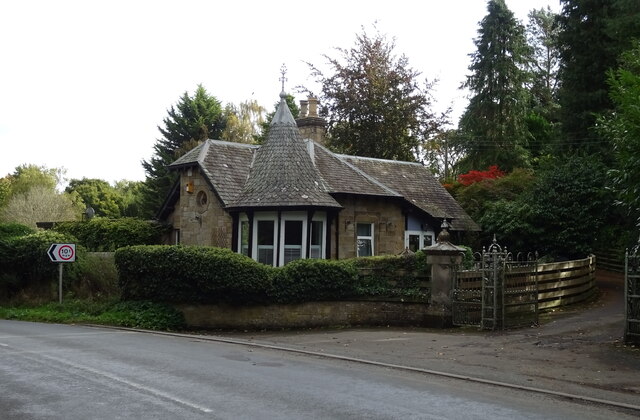
This woodland area is not only known for its natural beauty but also for its cultural and historical significance. The strip is situated near the ruins of Ashybank Tower, a medieval tower house that dates back to the 16th century. The tower, though in ruins, still stands as a testament to the region's rich history.
Ashybank Strip is a peaceful retreat, offering visitors a chance to immerse themselves in the tranquility of nature. Whether it's hiking, wildlife watching, or simply enjoying a leisurely stroll through the woods, this forested area has something to offer for everyone seeking a connection with the natural world.
If you have any feedback on the listing, please let us know in the comments section below.
Ashybank Strip Images
Images are sourced within 2km of 55.449208/-2.7212326 or Grid Reference NT5417. Thanks to Geograph Open Source API. All images are credited.
Ashybank Strip is located at Grid Ref: NT5417 (Lat: 55.449208, Lng: -2.7212326)
Unitary Authority: The Scottish Borders
Police Authority: The Lothians and Scottish Borders
What 3 Words
///playback.thighs.warmers. Near Hawick, Scottish Borders
Nearby Locations
Related Wikis

Cavers, Scottish Borders
Cavers is a parish in the Scottish Borders area of Scotland, in the former county of Roxburghshire, south and east of Hawick. The largest village in the...

Cavers Castle
Cavers Castle, also known as Cavers House, is a ruined tower house located at Cavers, Scottish Borders, Scotland. Cavers Castle was a much extended tower...

Westgate Hall, Denholm
Westgate Hall is located in Westgate in the village of Denholm, Roxburghshire, in the Scottish Borders. It stands at the western and south-western approaches...
Denholm
Denholm is a small village located between Jedburgh and Hawick in the Scottish Borders region of Scotland, UK. The estimated population of Denholm is 600...

Appletreehall
Appletreehall is a village in the Scottish Borders area of Scotland, 2 miles north-east of Hawick, in the historic county of Roxburghshire. Nearby are...

Hassendean, Scottish Borders
Hassendean is a hamlet in the Scottish Borders south of Edinburgh, Scotland. The stream is the Hassendean Burn which flows down to the River Teviot five...

Hassendean railway station
Hassendean railway station served the village of Hassendean, Scottish Borders, Scotland from 1850 to 1969 on the Waverley Route. == History == The station...

Burnfoot, Hawick
Burnfoot (Scottish Gaelic: Bun na h-Aibhne, Scots: Burnfit) is a housing estate just east of the A7, in the northern part of Hawick, by the Boonraw Burn...
Nearby Amenities
Located within 500m of 55.449208,-2.7212326Have you been to Ashybank Strip?
Leave your review of Ashybank Strip below (or comments, questions and feedback).