Bugley Plantation
Wood, Forest in Roxburghshire
Scotland
Bugley Plantation
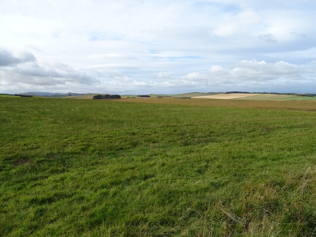
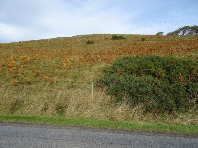
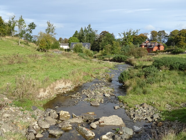
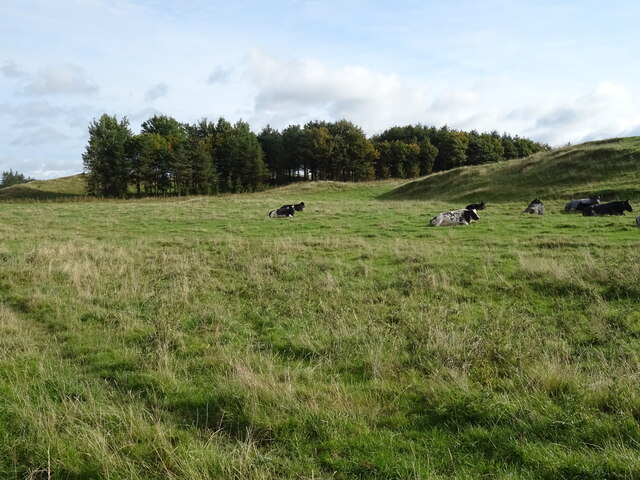
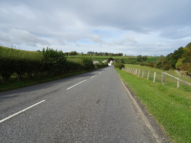
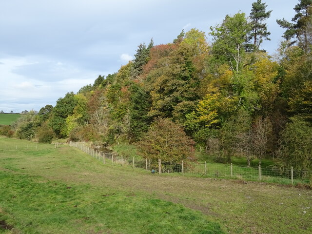
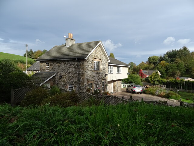
Bugley Plantation is a picturesque woodland area located in Roxburghshire, Scotland. Covering an expansive area of approximately 500 acres, the plantation is renowned for its diverse range of tree species and thriving wildlife.
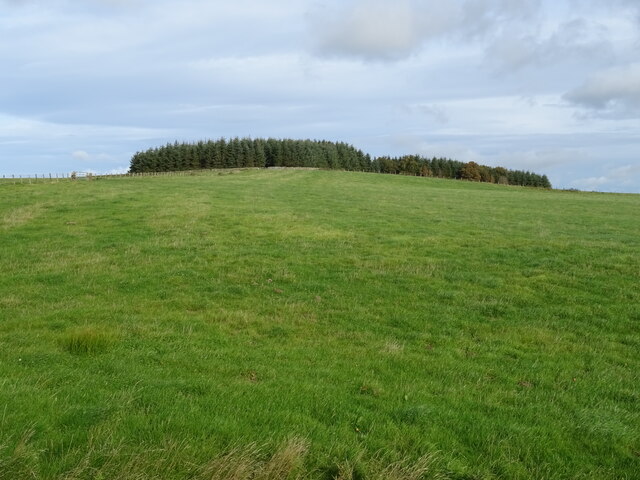
The woodland is predominantly made up of coniferous trees, including Scots pine, spruce, and fir, which create a dense and verdant canopy. These trees provide a habitat for a variety of bird species, such as crossbills, siskins, and woodpeckers, making it a haven for birdwatching enthusiasts.
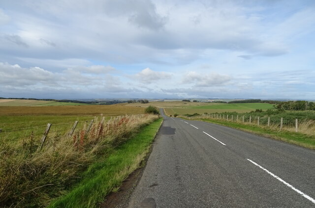
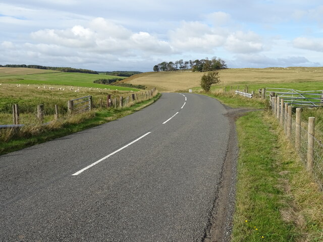
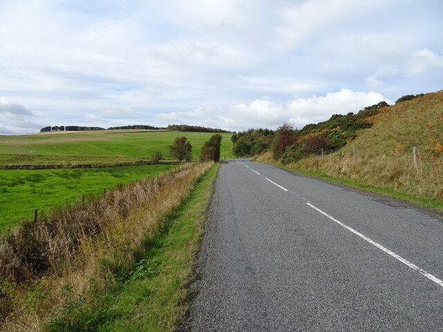
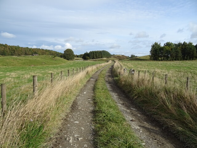
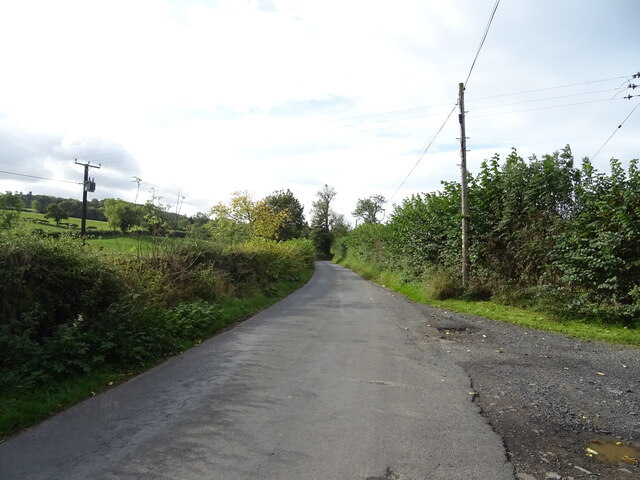
Bugley Plantation also boasts a network of well-maintained trails that wind through the woodland, offering visitors the opportunity to explore the area’s natural beauty. These trails vary in difficulty, catering to both casual walkers and more experienced hikers. Along the way, walkers can enjoy the tranquil atmosphere, with the soothing sound of rustling leaves and the occasional glimpse of wildlife.
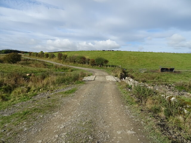
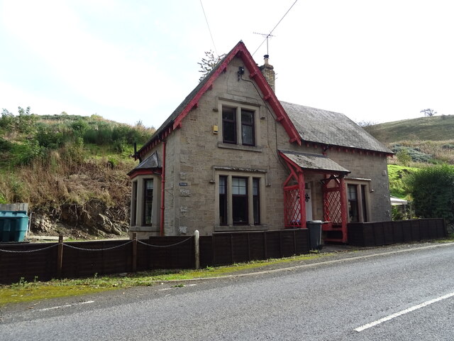
For those interested in the history of the area, Bugley Plantation holds remnants of its past as a working forest. Old sawmill sites and abandoned cottages can still be found, providing a glimpse into the area's rich forestry heritage.
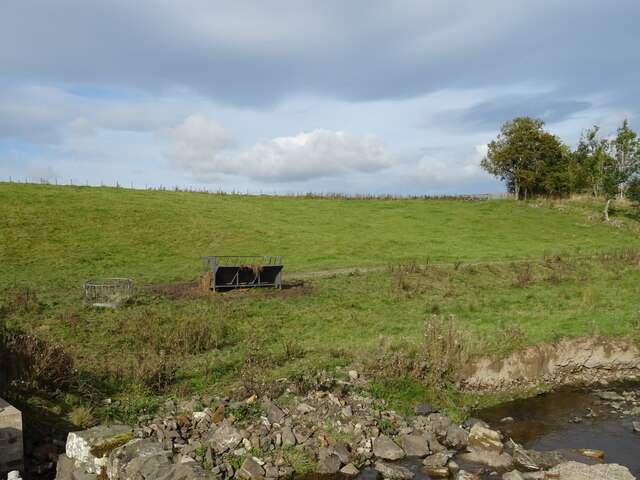
The plantation is managed sustainably, with regular tree planting and selective harvesting to maintain the health and diversity of the woodland. This dedication to conservation ensures that visitors can continue to enjoy the natural splendor of Bugley Plantation for generations to come.
If you have any feedback on the listing, please let us know in the comments section below.
Bugley Plantation Images
Images are sourced within 2km of 55.417337/-2.7209359 or Grid Reference NT5413. Thanks to Geograph Open Source API. All images are credited.
Bugley Plantation is located at Grid Ref: NT5413 (Lat: 55.417337, Lng: -2.7209359)
Unitary Authority: The Scottish Borders
Police Authority: The Lothians and Scottish Borders
What 3 Words
///steady.bronzes.sifts. Near Hawick, Scottish Borders
Nearby Locations
Related Wikis

Kirkton, Scottish Borders
Kirkton is a village in the Scottish Borders area of Scotland, off the A6088, near Hawick. Grid Ref. NT5413. It is a former parish, amalgamated into the...

Cavers Castle
Cavers Castle, also known as Cavers House, is a ruined tower house located at Cavers, Scottish Borders, Scotland. Cavers Castle was a much extended tower...

Cavers, Scottish Borders
Cavers is a parish in the Scottish Borders area of Scotland, in the former county of Roxburghshire, south and east of Hawick. The largest village in the...

Mansfield Park, Hawick
Mansfield Park is a rugby union ground in Hawick, Scotland, with a capacity of approximately 5,000. It is the home of Hawick Rugby Football Club, who currently...

Appletreehall
Appletreehall is a village in the Scottish Borders area of Scotland, 2 miles north-east of Hawick, in the historic county of Roxburghshire. Nearby are...
Burnfoot, Hawick
Burnfoot (Scottish Gaelic: Bun na h-Aibhne, Scots: Burnfit) is a housing estate just east of the A7, in the northern part of Hawick, by the Boonraw Burn...

Rubers Law
Rubers Law is a prominent, conical hill in the Scottish Borders area of south-east Scotland. It stands on the south bank of the River Teviot, between the...

Slitrig Water
Slitrig Water (archaic Scots: Slitterick Waiter; current Southern Scots: Slitrig Witter), also known as the River Slitrig, is a river in the Scottish Borders...
Nearby Amenities
Located within 500m of 55.417337,-2.7209359Have you been to Bugley Plantation?
Leave your review of Bugley Plantation below (or comments, questions and feedback).