Wood of Pitkennedy
Wood, Forest in Angus
Scotland
Wood of Pitkennedy
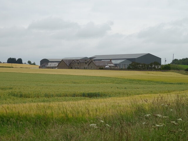
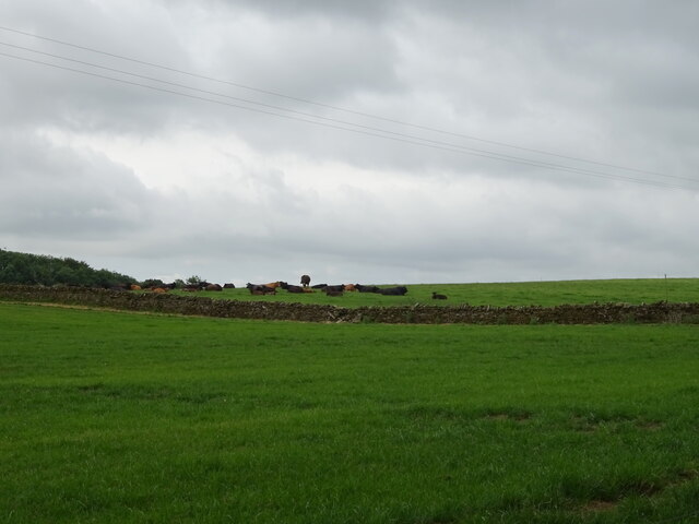
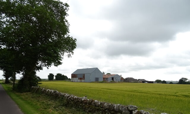
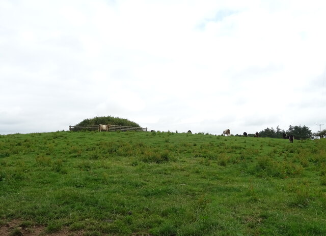
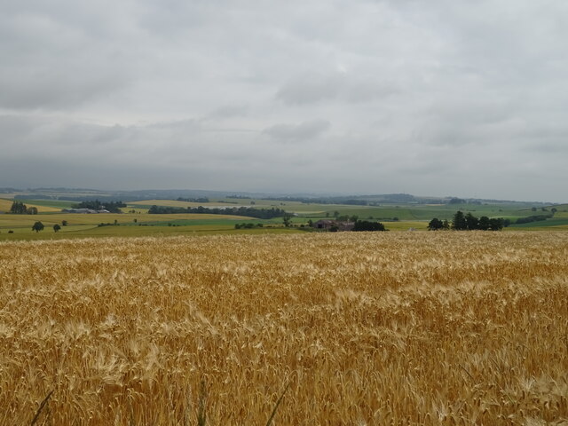
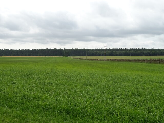
Wood of Pitkennedy is a picturesque forest located in the Angus region of Scotland. Covering an area of approximately 750 acres, it is a diverse and well-preserved woodland that offers visitors a tranquil and immersive experience in nature.
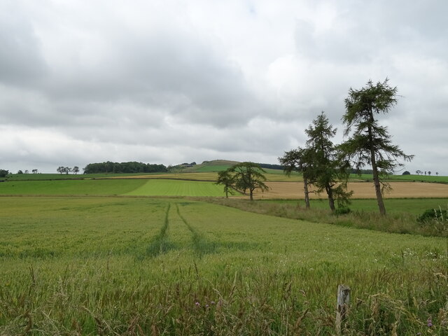
The forest is primarily composed of native broadleaf trees such as oak, birch, and beech, creating a rich and vibrant ecosystem. These trees provide habitat for a variety of wildlife, including deer, red squirrels, and a wide range of bird species. It is also home to several rare and protected plants, making it an important site for conservation.
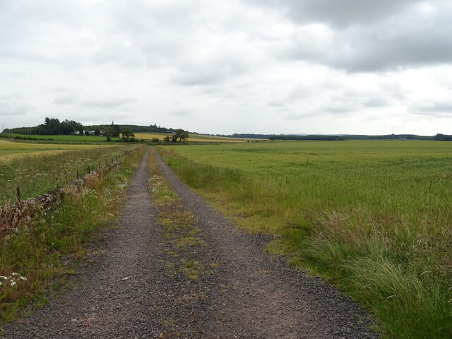
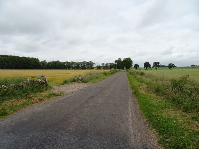
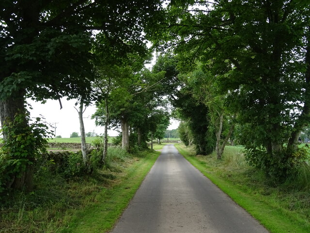
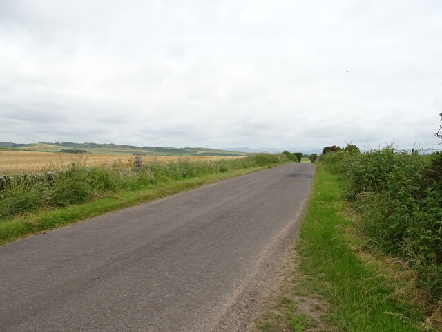
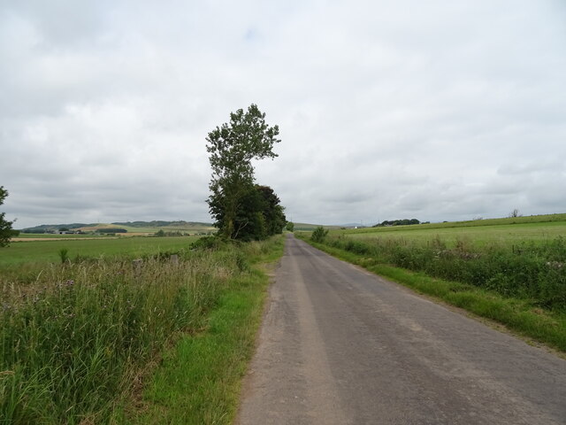
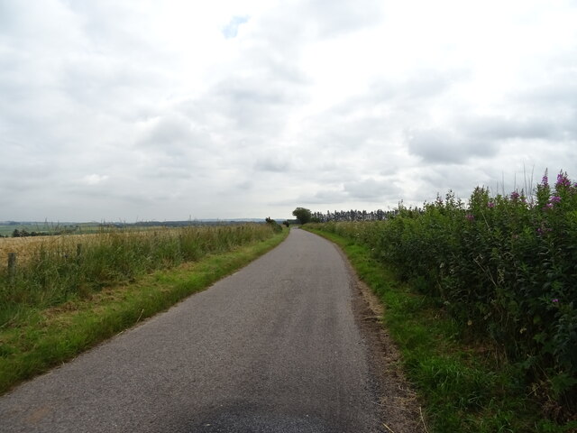
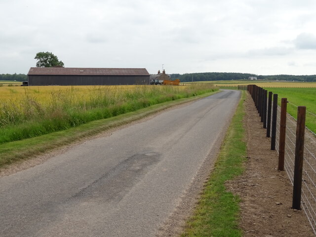
Visitors to Wood of Pitkennedy can explore its network of well-maintained trails, which meander through the forest and offer stunning views of the surrounding countryside. The trails are suitable for walkers of all abilities and are clearly signposted, making it easy to navigate and discover the different areas of the woodland.
For those interested in history, the forest contains several ancient features, including the remains of a hillfort and a burial cairn. These archaeological sites provide insight into the area's past and offer a glimpse into the lives of the people who once inhabited the land.
Wood of Pitkennedy is a popular destination for nature enthusiasts, hikers, and families seeking a peaceful retreat. Its natural beauty, diverse flora and fauna, and historical significance make it a must-visit location for anyone looking to immerse themselves in the Scottish countryside.
If you have any feedback on the listing, please let us know in the comments section below.
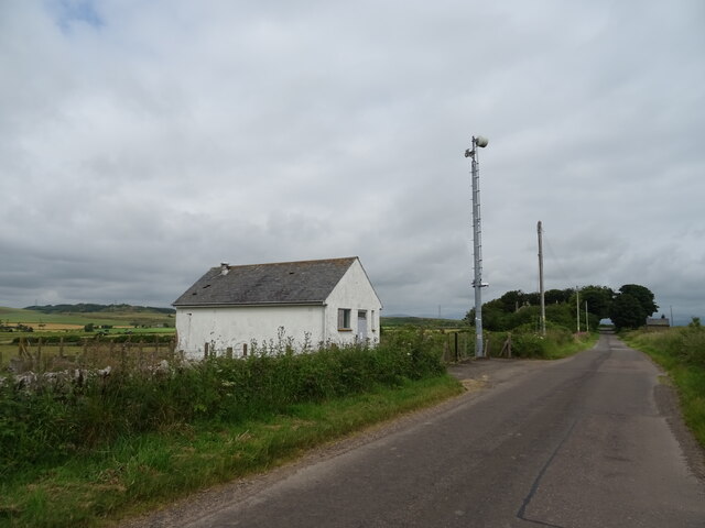
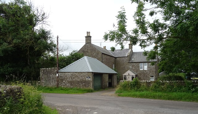
Wood of Pitkennedy Images
Images are sourced within 2km of 56.683291/-2.7581892 or Grid Reference NO5354. Thanks to Geograph Open Source API. All images are credited.
Wood of Pitkennedy is located at Grid Ref: NO5354 (Lat: 56.683291, Lng: -2.7581892)
Unitary Authority: Angus
Police Authority: Tayside
What 3 Words
///flooding.skip.commutes. Near Letham, Angus
Nearby Locations
Related Wikis

Aberlemno Sculptured Stones
The Aberlemno Sculptured Stones are a series of Pictish standing stones originating in and around the village of Aberlemno, Angus, Scotland. Three are...

Melgund Castle
Melgund Castle, lying around two kilometres (1.2 mi) due east of Aberlemno in Angus, Scotland, is a 16th-century L-plan castle which has been partially...

Aberlemno
Aberlemno (Scottish Gaelic: Obar Leamhnach, IPA:[ˈopəɾˈʎɛunəx]) is a parish and small village in the Scottish council area of Angus. It is noted for three...

Rescobie Loch
Rescobie Loch is a post glacial fresh water body located in the parish of Rescobie, 4 km (2.5 mi) to the East of Forfar, in the county of Angus, Scotland...
Nearby Amenities
Located within 500m of 56.683291,-2.7581892Have you been to Wood of Pitkennedy?
Leave your review of Wood of Pitkennedy below (or comments, questions and feedback).