Black Strip

Wood, Forest in Berwickshire

Scotland

Black Strip

Dabshead Hill View of Dabshead Hill taken from Burncastle Road.
Dabshead Hill Credit: Scott Batchelor

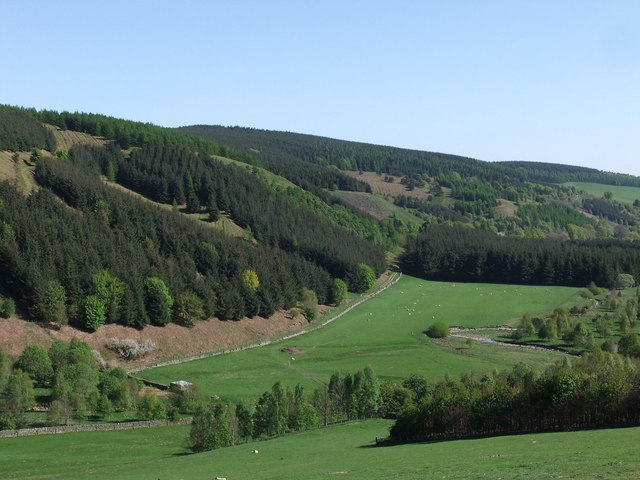
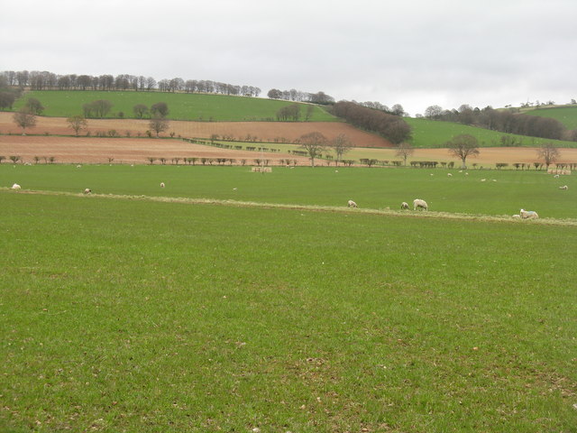
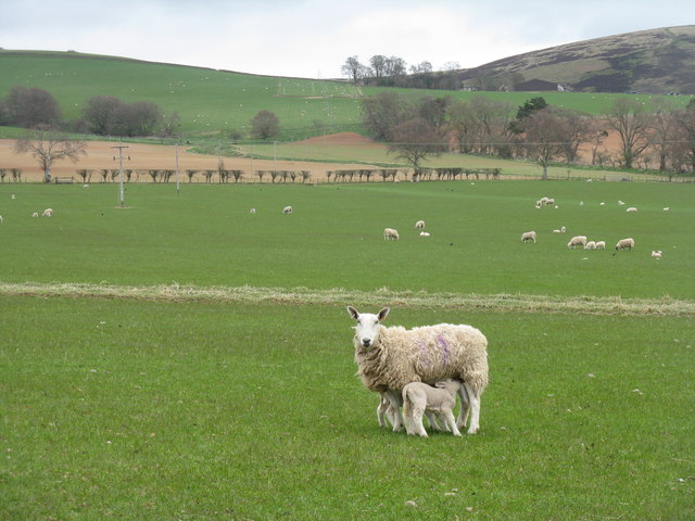
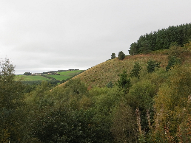
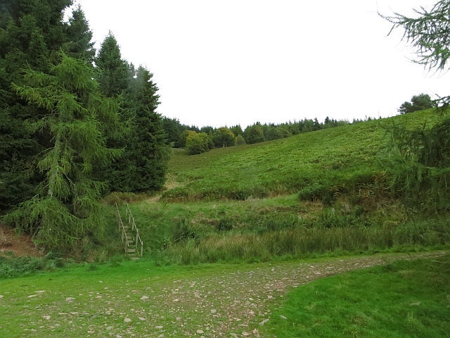
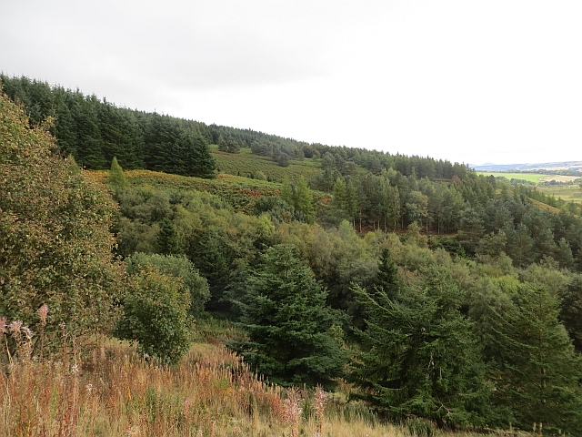
Black Strip is a dense woodland located in the rural area of Berwickshire, Scotland. This natural forest spans across an approximate area of 200 acres and is known for its rich biodiversity and serene atmosphere. The woodland is characterized by the presence of a variety of tree species, including oak, beech, birch, and pine, which create a diverse and vibrant ecosystem.

The forest floor is covered with a thick layer of moss and ferns, providing a habitat for numerous small animals and insects. The dense canopy formed by the tall trees allows only dappled sunlight to penetrate through, creating a unique and enchanting ambiance. The diverse vegetation provides ample food sources and shelter for a wide array of bird species, making Black Strip a popular destination for birdwatchers.

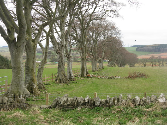
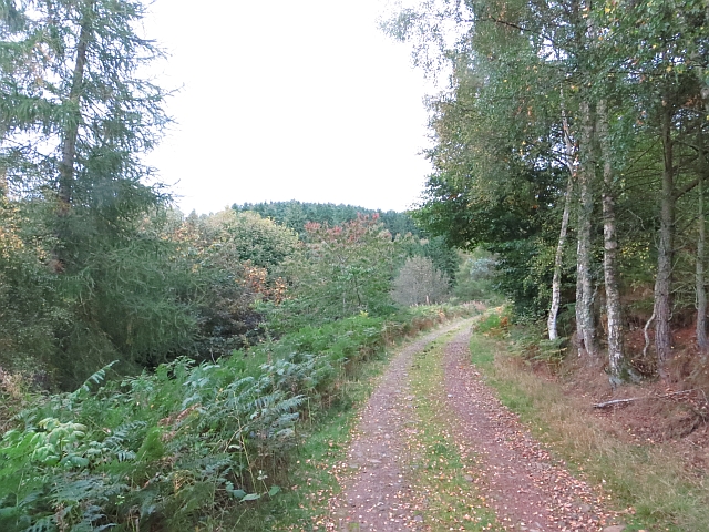
The woodland is crisscrossed by several walking trails, allowing visitors to explore its beauty and immerse themselves in nature. These trails are well-maintained and offer breathtaking views of the surrounding countryside. The peacefulness and tranquility of Black Strip make it an ideal spot for nature lovers, hikers, and those seeking a break from the hustle and bustle of everyday life.

Black Strip is also a site of historical significance, with remnants of ancient settlements and archaeological finds dating back to prehistoric times. The area is carefully protected and managed by local authorities to preserve its natural beauty and historical value.

Overall, Black Strip in Berwickshire is a captivating woodland that offers a unique blend of natural beauty, biodiversity, and historical significance. It is a haven for wildlife and a sanctuary for those seeking solace in the embrace of nature.

If you have any feedback on the listing, please let us know in the comments section below.
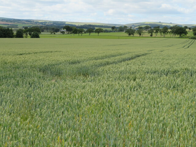
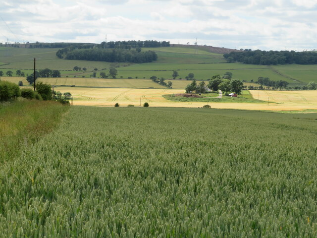
Black Strip Images

Images are sourced within 2km of 55.736699/-2.7396336 or Grid Reference NT5349. Thanks to Geograph Open Source API. All images are credited.

Dabshead Hill View of Dabshead Hill taken from Burncastle Road.
Dabshead Hill
View of Dabshead Hill taken from Burncastle Road.
Edgarhope Wood South slope of Edgarhope Wood taken from Burncastle Road
Edgarhope Wood
South slope of Edgarhope Wood taken from Burncastle Road
The gathering ground of the Snawdon Burn Head of the Snawdon Burn, an area of meadows. The edge of Edgarhope Wood can be seen in the background.
--
2013
Most of the woodland has now been felled and replanted.
The gathering ground of the Snawdon Burn
Head of the Snawdon Burn, an area of meadows. The edge of Edgarhope Wood can be seen in the background. -- 2013 Most of the woodland has now been felled and replanted.
Spring at Lylestane Green grass, new lambs, newly sown cereal fields and shelter belts. A view from the A697.
Spring at Lylestane
Green grass, new lambs, newly sown cereal fields and shelter belts. A view from the A697.
Ewe and lambs at Lylestane Pasture grading upwards to moorland beyond Burncastle.
Ewe and lambs at Lylestane
Pasture grading upwards to moorland beyond Burncastle.
Beech shelter belt Leading down from the A697 towards the Leader Water in Lauderdale.
Beech shelter belt
Leading down from the A697 towards the Leader Water in Lauderdale.
Edgarhope Wood A few years earlier some big blocks of woodland were felled and not replaced. There are a lot of pheasants here - for now.
Edgarhope Wood
A few years earlier some big blocks of woodland were felled and not replaced. There are a lot of pheasants here - for now.
Edgarhope Moor High level grazing in the Lammermuirs.
Edgarhope Moor
High level grazing in the Lammermuirs.
Edgarhope Wood The road in from the A68.
Edgarhope Wood
The road in from the A68.
Reentrant,  Edgarhope Wood Uphill view from a road junction. There are now a lot of big bracken filled clearings within the wood.
Reentrant, Edgarhope Wood
Uphill view from a road junction. There are now a lot of big bracken filled clearings within the wood.
Edge of Edgarhope Wood There is a gate at the corner of the dyke and woodland fence.
Edge of Edgarhope Wood
There is a gate at the corner of the dyke and woodland fence.
Flight pond, Snawdon Burn The water is now all but hidden behind the fast growing trees which surround the pond.
Flight pond, Snawdon Burn
The water is now all but hidden behind the fast growing trees which surround the pond.
Edgarhope Wood A view along the spurs of Edgarhope Wood. There are now numerous clearings in the wood.
Edgarhope Wood
A view along the spurs of Edgarhope Wood. There are now numerous clearings in the wood.
Edgarhope Wood A block of Sitka spruce.
Edgarhope Wood
A block of Sitka spruce.
Edge of Edgarhope Wood View along the ridge to Dabshead Hill.
Edge of Edgarhope Wood
View along the ridge to Dabshead Hill.
Clear felled area, Edgarhope Wood Recently replanted.
Clear felled area, Edgarhope Wood
Recently replanted.
Wheat at Newbigging Walls Looking northwestwards in Lauderdale
Wheat at Newbigging Walls
Looking northwestwards in Lauderdale
Looking across Lauderdale From a wheat field at Newbigging Walls. Leaderhaugh is across the river.
Looking across Lauderdale
From a wheat field at Newbigging Walls. Leaderhaugh is across the river.
Show me another place!

Black Strip is located at Grid Ref: NT5349 (Lat: 55.736699, Lng: -2.7396336)

Unitary Authority: The Scottish Borders

Police Authority: The Lothians and Scottish Borders

What 3 Words

///blur.overcomes.supreme. Near Lauder, Scottish Borders

Nearby Locations

Black Strip

Related Wikis

Lauderdale

Lauderdale is the valley of the Leader Water (a tributary of the Tweed) in the Scottish Borders. It contains the town of Lauder, as well as Earlston. The...

Thirlestane Castle

Thirlestane Castle is a castle set in extensive parklands near Lauder in the Borders of Scotland. The site is aptly named Castle Hill, as it stands upon...

Lauder railway station

Lauder railway station served the town of Lauder, Berwickshire, Scotland, from 1901 to 1958. It was situated on the Lauder Light Railway. == History... ==

Lauder

The former Royal Burgh of Lauder (, Scottish Gaelic: Labhdar) is a town in the Scottish Borders in the historic county of Berwickshire. On the Southern...

Nearby Amenities

Located within 500m of 55.736699,-2.7396336
Huntington
Place: hamlet
Lat/Long: 55.7397909/-2.7419593
Power: pole
Lat/Long: 55.7406353/-2.7419727
Power: pole
Lat/Long: 55.7399551/-2.7409755
Power: pole
Lat/Long: 55.7393133/-2.7399784
Power: pole
Lat/Long: 55.7386452/-2.7389699
Power: pole
Lat/Long: 55.7379709/-2.737948
Power: pole
Lat/Long: 55.7373156/-2.7369757
Power: pole
Lat/Long: 55.7367191/-2.7360798
Power: pole
Lat/Long: 55.7361317/-2.7351746
Power: pole
Lat/Long: 55.7355443/-2.7342922
Power: pole
Lat/Long: 55.7350837/-2.7336672
The data included in this document is from www.openstreetmap.org. The data is made available under ODbL.

Have you been to Black Strip?

Leave your review of Black Strip below (or comments, questions and feedback).