Muir of Pitkennedy

Downs, Moorland in Angus

Scotland

Muir of Pitkennedy

Working the soil, Pitkennedy The field is being prepared for a crop to be sown,
Working the soil, Pitkennedy Credit: Maigheach-gheal

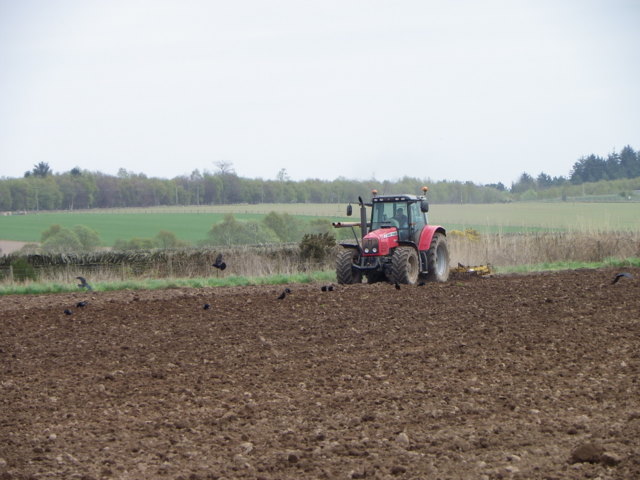
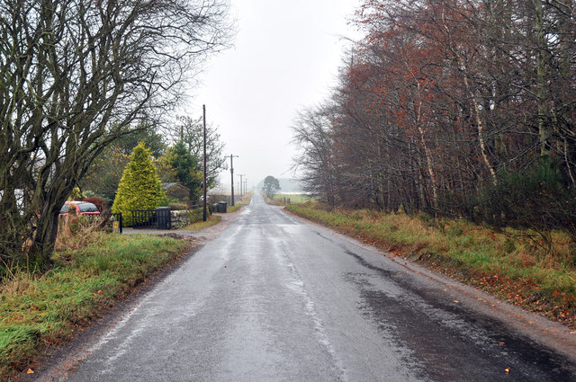
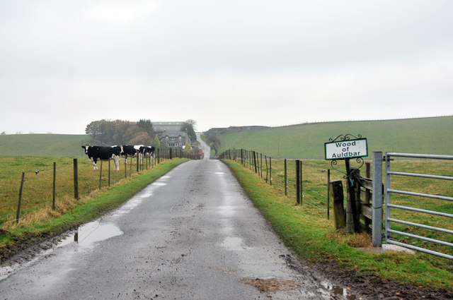
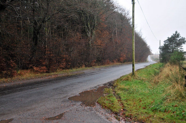
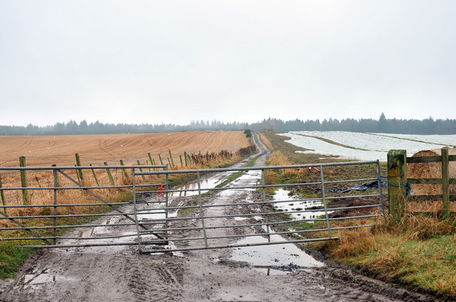
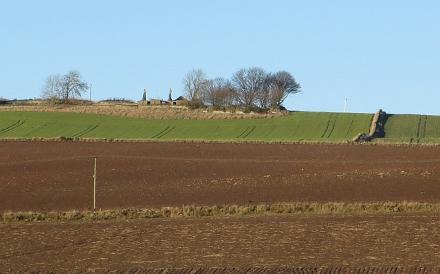
Muir of Pitkennedy is a captivating area located in Angus, Scotland. Situated in the eastern part of the county, it is known for its stunning downs and moorland landscapes. Spanning an area of approximately 10 square miles, Muir of Pitkennedy offers visitors a tranquil and picturesque environment to explore.

The downs of Muir of Pitkennedy are characterized by gently rolling hills covered with lush grasses and scattered with wildflowers. The vibrant colors of the flora create a delightful spectacle, especially during the summer months. These downs are perfect for leisurely walks, picnics, or simply admiring the breathtaking views of the surrounding countryside.

The moorland of Muir of Pitkennedy is a captivating sight with its vast expanse of heather, bracken, and rough grasses. This unique ecosystem provides a habitat for a variety of wildlife, including birds, insects, and small mammals. Bird enthusiasts will be delighted to spot species such as red grouse, curlew, and skylarks in this area.

Muir of Pitkennedy is also home to a diverse range of plant species, including bilberry, bog myrtle, and various types of mosses. These plants contribute to the overall beauty and ecological significance of the area.

Visitors to Muir of Pitkennedy can enjoy the tranquility and natural beauty of the Scottish countryside, making it an ideal destination for nature lovers and outdoor enthusiasts. Whether it's a peaceful walk through the downs or an exploration of the moorland, Muir of Pitkennedy offers a captivating experience for all who visit.

If you have any feedback on the listing, please let us know in the comments section below.

Muir of Pitkennedy Images

Images are sourced within 2km of 56.678932/-2.7526666 or Grid Reference NO5354. Thanks to Geograph Open Source API. All images are credited.

Working the soil, Pitkennedy The field is being prepared for a crop to be sown,
Working the soil, Pitkennedy
The field is being prepared for a crop to be sown,
Minor road at Pitkennedy
Farm road to Wood of Auldbar
Minor road at Wood of Auldbar
Farm track across Melgund Muir
Logging road, Montreathmont Forest Melgund Muir, the western end of the forest.
Logging road, Montreathmont Forest
Melgund Muir, the western end of the forest.
Logging road, Montreathmont Forest The western part of the forest, a relatively narrow wooded area on Melgund Muir.
Logging road, Montreathmont Forest
The western part of the forest, a relatively narrow wooded area on Melgund Muir.
Crossroads, Montreathmont Forest A relatively busy road to Framedrum crosses a forest road at the western end of Montreathmont.  The gates suggest that there are no barriers on the busy road.
Crossroads, Montreathmont Forest
A relatively busy road to Framedrum crosses a forest road at the western end of Montreathmont. The gates suggest that there are no barriers on the busy road.
Road, Framedrum The road runs along the edge of Montreathmont Forest from behind the old school.
Road, Framedrum
The road runs along the edge of Montreathmont Forest from behind the old school.
Montreathmont Forest The edge of the woodland at the far west of the forest.
Montreathmont Forest
The edge of the woodland at the far west of the forest.
Cotton of Turin Farm between Montreathmont Forest and Turin Hill.
Cotton of Turin
Farm between Montreathmont Forest and Turin Hill.
Pitkennedy Arable land before Montreathmont Forest.
Pitkennedy
Arable land before Montreathmont Forest.
Turin Knaps Ruin on the slopes of Turin Hill.
Turin Knaps
Ruin on the slopes of Turin Hill.
Pitkennedy View up the road towards the former school.
Pitkennedy
View up the road towards the former school.
Aberlemno Pictish Stone This Class 1 stone at Aberlemno is carved with the "serpent", "double disc and Z-rod" and "mirror and comb" symbols. It is not known for certain what the symbols mean, but it is thought that the "mirror and comb" may indicate that the stone commemorates a woman.
Aberlemno Pictish Stone
This Class 1 stone at Aberlemno is carved with the "serpent", "double disc and Z-rod" and "mirror and comb" symbols. It is not known for certain what the symbols mean, but it is thought that the "mirror and comb" may indicate that the stone commemorates a woman.
Aberlemno Cross Carved in the 8th century, this cross is the most elaborate of the Aberlemno Pictish stones. It is decorated with a Celtic interlace design on one side and a battle scene on the other.
Aberlemno Cross
Carved in the 8th century, this cross is the most elaborate of the Aberlemno Pictish stones. It is decorated with a Celtic interlace design on one side and a battle scene on the other.
Wet Field with Turin House Behind
Show me another place!

Muir of Pitkennedy is located at Grid Ref: NO5354 (Lat: 56.678932, Lng: -2.7526666)

Unitary Authority: Angus

Police Authority: Tayside

What 3 Words

///abundance.applauded.shovels. Near Letham, Angus

Related Wikis

Melgund Castle

Melgund Castle, lying around two kilometres (1.2 mi) due east of Aberlemno in Angus, Scotland, is a 16th-century L-plan castle which has been partially...

Aberlemno Sculptured Stones

The Aberlemno Sculptured Stones are a series of Pictish standing stones originating in and around the village of Aberlemno, Angus, Scotland. Three are...

Aberlemno

Aberlemno (Scottish Gaelic: Obar Leamhnach, IPA:[ˈopəɾˈʎɛunəx]) is a parish and small village in the Scottish council area of Angus. It is noted for three...

Auldbar Road railway station

Auldbar Road railway station was located near the town of Guthrie in the Scottish county of Angus. == History == Opened by the Arbroath and Forfar Railway...

Nearby Amenities

Located within 500m of 56.678932,-2.7526666
Bus Stop
Pitkennedy Road End
Bus: yes
Naptan AtcoCode: 6490IM105
Naptan Bearing: SW
Naptan BusStopType: CUS
Naptan CommonName: Road End
Naptan Indicator: opp
Naptan Landmark: Pitkennedy Road End
Naptan NaptanCode: 26426483
Naptan Street: Unclassified Road
Naptan Verified: no
Public Transport: platform
Source: naptan_import
Lat/Long: 56.6776599/-2.7455994
Bus Stop
Pitkennedy Road End
Bus: yes
Local Ref: AT
Naptan AtcoCode: 6490IM109
Naptan Bearing: NE
Naptan BusStopType: CUS
Naptan CommonName: Road End
Naptan Indicator: at
Naptan Landmark: Pitkennedy Road End
Naptan NaptanCode: 26425649
Naptan Street: Unclassified Road
Naptan Verified: no
Public Transport: platform
Source: naptan_import
Lat/Long: 56.67776/-2.7460492
Pitkennedy
Name Gd: Peit a' Cheanadaich
Place: hamlet
Lat/Long: 56.6773971/-2.7485999
Power: pole
Lat/Long: 56.6781999/-2.7450829
Power: pole
Lat/Long: 56.6777432/-2.7459454
Power: pole
Lat/Long: 56.6819014/-2.7469677
Power: pole
Lat/Long: 56.6814816/-2.7479397
Power: pole
Lat/Long: 56.6810704/-2.7489028
Power: pole
Lat/Long: 56.6806555/-2.7498972
Power: pole
Lat/Long: 56.6802449/-2.7508804
Power: pole
Lat/Long: 56.6798073/-2.7515218
Power: pole
Lat/Long: 56.6793501/-2.7524815
Power: pole
Lat/Long: 56.6788898/-2.7534379
Power: pole
Lat/Long: 56.6784294/-2.7543653
Power: pole
Lat/Long: 56.6783165/-2.7557328
Power: pole
Lat/Long: 56.6781962/-2.7571518
Power: pole
Lat/Long: 56.6780771/-2.7585551
Power: pole
Lat/Long: 56.6779568/-2.7599338
Power: pole
Lat/Long: 56.678044/-2.7459946
Power: pole
Lat/Long: 56.6783497/-2.7465219
Power: pole
Lat/Long: 56.6786713/-2.7471029
Power: pole
Lat/Long: 56.6790002/-2.7476906
Power: pole
Lat/Long: 56.6793206/-2.7482224
Power: pole
Lat/Long: 56.6795416/-2.7489933
Power: pole
Lat/Long: 56.6750689/-2.7557809
Power: pole
Lat/Long: 56.675463/-2.7560267
Muir of Pitkennedy
Place: locality
Lat/Long: 56.6781967/-2.7562031
The data included in this document is from www.openstreetmap.org. The data is made available under ODbL.

Have you been to Muir of Pitkennedy?

Leave your review of Muir of Pitkennedy below (or comments, questions and feedback).