Luggie Strip
Wood, Forest in Berwickshire
Scotland
Luggie Strip
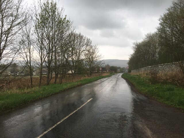
Luggie Strip is a picturesque woodland area located in the county of Berwickshire, Scotland. Situated in the eastern part of the country, this woodland is renowned for its natural beauty and serene environment. Spanning across a vast area, Luggie Strip is a haven for nature enthusiasts and outdoor lovers.
The woodland is characterized by its dense coverage of various species of trees, including oak, beech, and birch, which create a vibrant and diverse ecosystem. The forest floor is adorned with a wide array of flora, such as bluebells, wild garlic, and ferns, adding a touch of color to the surroundings.
Luggie Strip offers a range of recreational activities for visitors to enjoy. There are well-maintained walking trails that wind through the woods, providing an opportunity to explore the area's natural wonders. The tranquil atmosphere makes it an ideal spot for peaceful walks and picnics amidst nature.
The woodland is home to a diverse range of wildlife, including deer, foxes, rabbits, and a variety of bird species. Birdwatchers often flock to Luggie Strip to catch a glimpse of rare and migratory birds that inhabit the area.
Luggie Strip is easily accessible, with ample parking facilities and well-marked trails. The forest is well-preserved and managed by local authorities, ensuring the conservation of its natural beauty for future generations to enjoy.
Whether you're seeking a peaceful retreat or an opportunity to immerse yourself in nature, Luggie Strip in Berwickshire offers a captivating experience for all who visit.
If you have any feedback on the listing, please let us know in the comments section below.
Luggie Strip Images
Images are sourced within 2km of 55.725251/-2.7396401 or Grid Reference NT5348. Thanks to Geograph Open Source API. All images are credited.
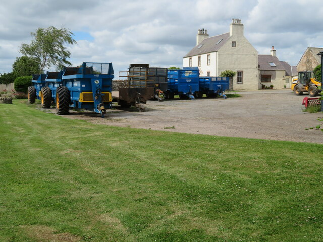
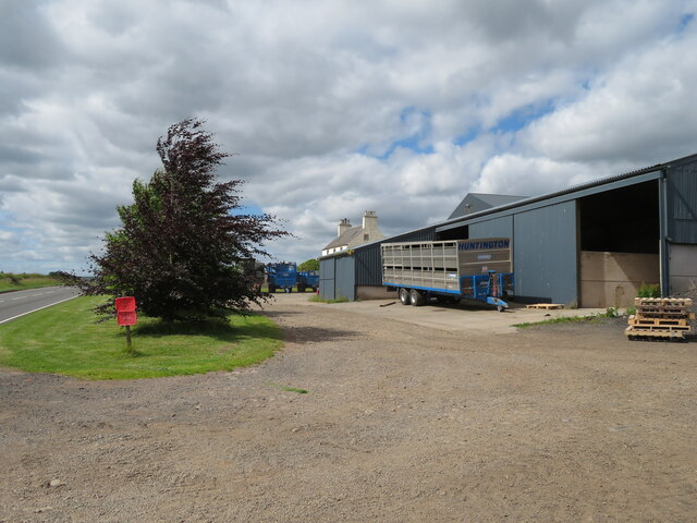
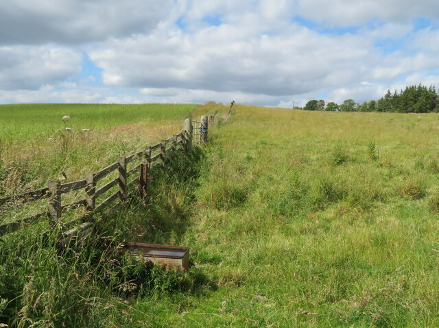
![Pasture in Lauderdale Cattle at rest [ruminating]. Looking northeast towards the Lammermuir hills.](https://s3.geograph.org.uk/geophotos/07/22/04/7220411_0cc69f34.jpg)

![Wheat near Lauder Bridge A small field [4.7 ha], surrounded on all sides by trees.](https://s0.geograph.org.uk/geophotos/07/22/10/7221036_2811fef0.jpg)
![Wheat near Lauder Bridge A small field [4.7 ha], surrounded on all sides by trees.](https://s2.geograph.org.uk/geophotos/07/22/10/7221038_fec2d544.jpg)


Luggie Strip is located at Grid Ref: NT5348 (Lat: 55.725251, Lng: -2.7396401)
Unitary Authority: The Scottish Borders
Police Authority: The Lothians and Scottish Borders
What 3 Words
///panel.magically.harnessed. Near Lauder, Scottish Borders
Nearby Locations
Related Wikis

Thirlestane Castle
Thirlestane Castle is a castle set in extensive parklands near Lauder in the Borders of Scotland. The site is aptly named Castle Hill, as it stands upon...

Lauderdale
Lauderdale is the valley of the Leader Water (a tributary of the Tweed) in the Scottish Borders. It contains the town of Lauder, as well as Earlston. The...

Lauder Town Hall
Lauder Town Hall is a municipal structure in the Market Place in Lauder, Scottish Borders, Scotland. The structure, which is used as the local registrar...

Lauder
The former Royal Burgh of Lauder (, Scottish Gaelic: Labhdar) is a town in the Scottish Borders in the historic county of Berwickshire. On the Southern...
Related Videos

Weekend away in the sunshine ☀️ - perfect weekend getaway ideas
A very short look at our weekend away . Never filmed much this time , we just were enjoying the ☀️ #shorts #weekend ...

Locals Take Matters Into Their Own Hands When Parked Car Interrupts Festival || ViralHog
Occurred on August 5, 2023 / Lauder, Scotland, UK "We have a village festival every year (taken very seriously by many).

🌼🌸🌺🌷 Hunting for wild flowers in the rain ☔️
Hunting for wild flowers in the rain ☔️ . Subscribe for more: https://happs.tv/@a9630 #live #travel.

Season 1 Trip 11 (22) / Lauder, Scottish Borders
Lauder common riding day.

The Central Belter - Stage 3
Taken as part of the Central Belter Bike Touring route from Markus Stitz. This is my record of the third stage of the route: Lauder to ...

Christmas atmosphere by a real fire - relax and enjoy this real scene
A real fire and a Christmas tree in this beautiful front room. The perfect place to relax and listen to some Christmas music. We have ...

Thirlestane Castle
Dating back to the 16th century, Thirlestane Castle is one of the oldest and finest inhabited castles in Scotland. Throughout its ...
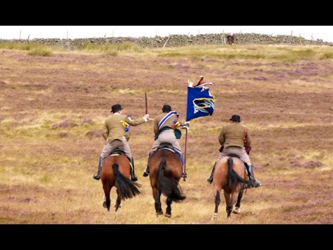
Lauder Common Riding 2022
6th August 2022. Our first experience of this Borders tradition starting at 8.00am in front of the Town Hall following 228 riders up to ...
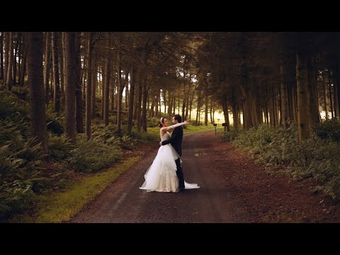
Gracie & Daniel // Thirlestane Castle, Scotland
PEONY WEDDING FILMS // Love, witnessed naturally MB01Q44LBKCNTKS.

Common riding 03.08.2019 Lauder, Scotland
Common riding (Совместная езда?) По традиции раз в год в Шотландии в городе Лодэр проходят празднования. Участники ...
Nearby Amenities
Located within 500m of 55.725251,-2.7396401Have you been to Luggie Strip?
Leave your review of Luggie Strip below (or comments, questions and feedback).