Norton Plantation

Wood, Forest in Berwickshire

Scotland

Norton Plantation

Edgarhope Wood The road in from the A68.
Edgarhope Wood Credit: Richard Webb

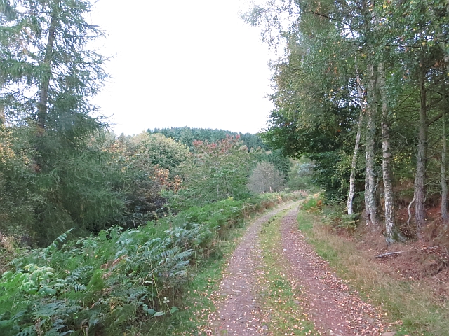
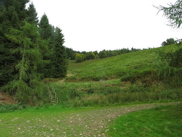
Norton Plantation, located in the scenic region of Berwickshire in Scotland, is a stunning wood or forest that captivates visitors with its natural beauty and rich history. Spanning an area of approximately 200 acres, this plantation is a haven for nature enthusiasts and those seeking tranquility amidst the lush surroundings.

The wood is predominantly composed of native tree species, including oak, beech, ash, and birch, which create a diverse and vibrant ecosystem. Walking through the plantation, visitors are treated to a feast for the senses, with the gentle rustling of leaves, the earthy scent of the forest floor, and the sight of sunlight filtering through the dense canopy.

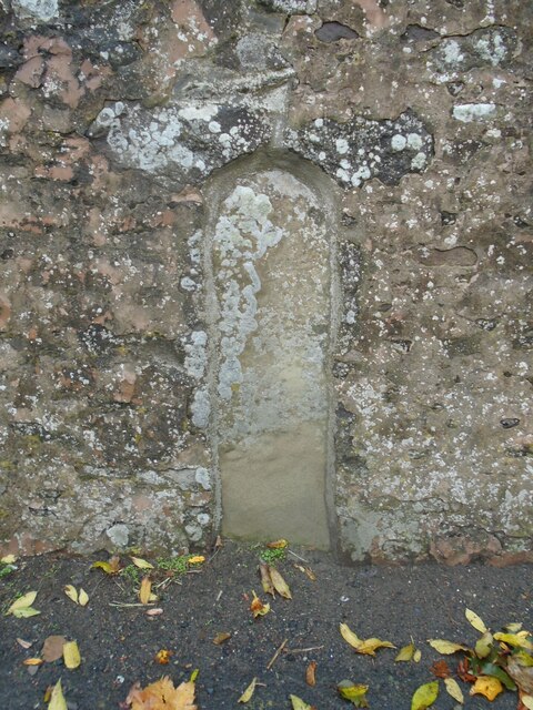
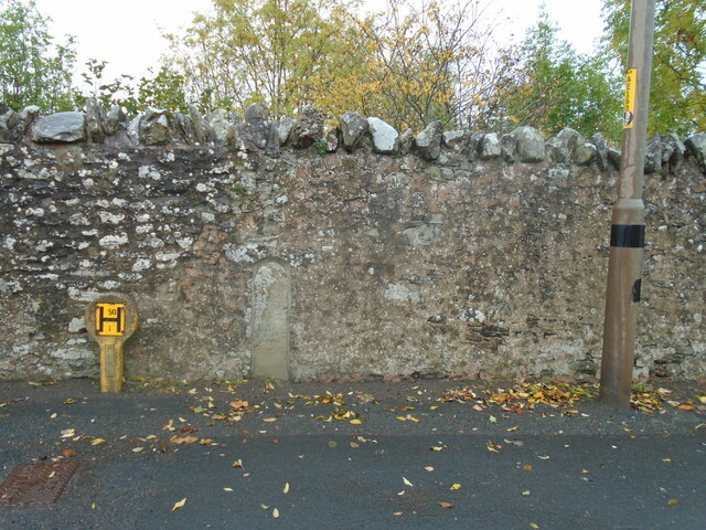
Norton Plantation is not only renowned for its natural splendor but also for its historical significance. The wood has a long and storied past, dating back to the medieval era when it was part of the estate belonging to the Aitcheson family. Remnants of this history can still be found within the wood, including the ruins of an old cottage and the remnants of a stone boundary wall.

In recent years, Norton Plantation has become a popular destination for outdoor activities. It offers a network of well-maintained walking trails, allowing visitors to explore the beauty of the wood at their own pace. Additionally, the wood provides an ideal habitat for a variety of wildlife, making it a paradise for birdwatchers and nature photographers.

Norton Plantation in Berwickshire is a true gem, offering a harmonious blend of natural beauty, historical intrigue, and recreational opportunities for all those who venture into its enchanting embrace.

If you have any feedback on the listing, please let us know in the comments section below.

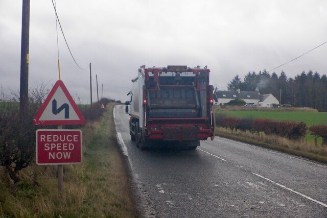
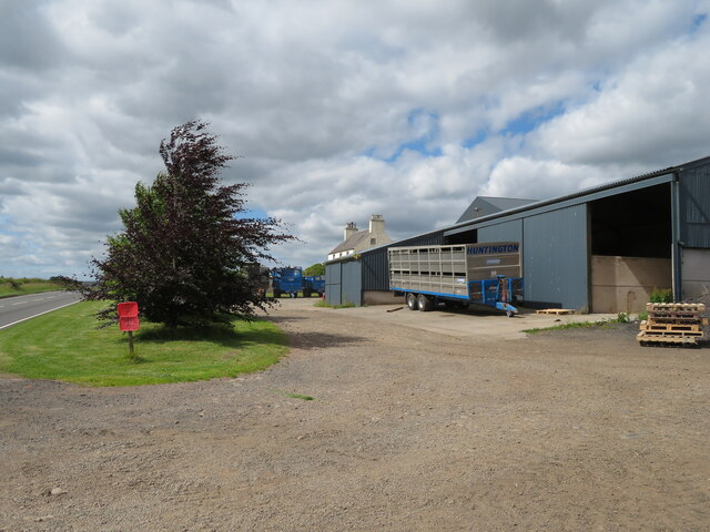
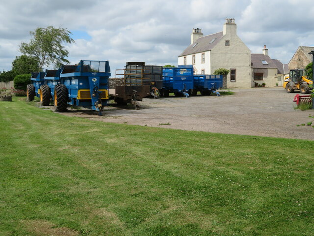
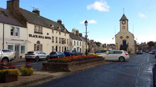
Norton Plantation Images

Images are sourced within 2km of 55.728289/-2.7365289 or Grid Reference NT5348. Thanks to Geograph Open Source API. All images are credited.

Edgarhope Wood The road in from the A68.
Edgarhope Wood
The road in from the A68.
Reentrant,  Edgarhope Wood Uphill view from a road junction. There are now a lot of big bracken filled clearings within the wood.
Reentrant, Edgarhope Wood
Uphill view from a road junction. There are now a lot of big bracken filled clearings within the wood.
Old milepost The most northerly Smith Patterson post on the Kelso to Edinburgh route at Newbigging Walls.   It is on the west-side verge of the A697 opposite one of the farm buildings.   A prime subject for digging out and repainting as it gets rustier and rustier as the years pass  <a href="https://www.geograph.org.uk/photo/6102356">NT5350 : Old Milepost by the A697, Newbiggins Walls</a>   There is another MP marked on the 2007 OS 50000 a mile further north but it cannot now be found.  It was photographed in the 1980s, well painted although quite sunken.  White top, black stem as this one.
Old milepost
The most northerly Smith Patterson post on the Kelso to Edinburgh route at Newbigging Walls. It is on the west-side verge of the A697 opposite one of the farm buildings. A prime subject for digging out and repainting as it gets rustier and rustier as the years pass NT5350 : Old Milepost by the A697, Newbiggins Walls There is another MP marked on the 2007 OS 50000 a mile further north but it cannot now be found. It was photographed in the 1980s, well painted although quite sunken. White top, black stem as this one.
Bank erosion on the Earnscleugh Water Looking down from a track in Edgarhope Wood.
Bank erosion on the Earnscleugh Water
Looking down from a track in Edgarhope Wood.
Lauderdale from Edgarhope Wood A view westwards.
Lauderdale from Edgarhope Wood
A view westwards.
Pond, Newbigging
Pond, Newbigging
Old Milepost by the A697, Newbiggins Walls Blaydon casting by the A697, in parish of Lauder (Berwick District), Newbiggins Walls, opposite farm.

Inscription reads:-
: EDINBURGH / 24 / MILES : : KELSO / 18 / MILES :
Maker:-
: SMITH PATTERSON / BLAYDON :

Surveyed

Milestone Society National ID: BD_KSED18
Old Milepost by the A697, Newbiggins Walls
Blaydon casting by the A697, in parish of Lauder (Berwick District), Newbiggins Walls, opposite farm. Inscription reads:- : EDINBURGH / 24 / MILES : : KELSO / 18 / MILES : Maker:- : SMITH PATTERSON / BLAYDON : Surveyed Milestone Society National ID: BD_KSED18
Bin lorry, Newbigging
Huntington farm buildings A very neat and tidy farm steading by the A697. A red note on the post reads 
'KEEP 
OFF 
THE F'IN 
GRASS'
Clearly they hope to keep it neat and tidy.
Huntington farm buildings
A very neat and tidy farm steading by the A697. A red note on the post reads 'KEEP OFF THE F'IN GRASS' Clearly they hope to keep it neat and tidy.
Trailers at Huntington farm Ready for harvesting.
Trailers at Huntington farm
Ready for harvesting.
Pasture in Lauderdale Cattle at rest [ruminating]. Looking northeast towards the Lammermuir hills.
Pasture in Lauderdale
Cattle at rest [ruminating]. Looking northeast towards the Lammermuir hills.
Wheat near Lauder Bridge A small field [4.7 ha], surrounded on all sides by trees.
Wheat near Lauder Bridge
A small field [4.7 ha], surrounded on all sides by trees.
Wheat near Lauder Bridge A small field [4.7 ha], surrounded on all sides by trees.
Wheat near Lauder Bridge
A small field [4.7 ha], surrounded on all sides by trees.
Market Place, Lauder The excellent Black Bull Hotel in the background.  If visiting, check out the beautiful natural wood bar furniture, made by the proprietor.
Market Place, Lauder
The excellent Black Bull Hotel in the background. If visiting, check out the beautiful natural wood bar furniture, made by the proprietor.
Old milestone Set into the stone wall on the east side of the A68 at the south end of Lauder.   Plenty of lichens.   A painted legend may once have read Edinburgh 26 Kelso 17.   It is marked on the pre 1900 6" OS map but not on current maps.  It is near lamppost AE1609.
Old milestone
Set into the stone wall on the east side of the A68 at the south end of Lauder. Plenty of lichens. A painted legend may once have read Edinburgh 26 Kelso 17. It is marked on the pre 1900 6" OS map but not on current maps. It is near lamppost AE1609.
Old milestone A view of the old milestone set in the high, old stone wall at the south end of Lauder showing it between the Hydrant post and the street lamp.   This area of The Borders was in Berwickshire prior to the formation of the larger administration areas in the 1970s.
Old milestone
A view of the old milestone set in the high, old stone wall at the south end of Lauder showing it between the Hydrant post and the street lamp. This area of The Borders was in Berwickshire prior to the formation of the larger administration areas in the 1970s.
Old milepost Just northwest of where the road, B6362, turns left into Lauder is a steep banking bordered by a safety barrier. Behind the barrier the leaves and soil can be cleared slightly to reveal the top of a Smith Patterson post.   Having passed the turning for Lauder, only the mileage to Edinburgh is displayed on that face.  It is on the opposite side of the road to the other posts found between Kelso and the Lauder turn-off.
Old milepost
Just northwest of where the road, B6362, turns left into Lauder is a steep banking bordered by a safety barrier. Behind the barrier the leaves and soil can be cleared slightly to reveal the top of a Smith Patterson post. Having passed the turning for Lauder, only the mileage to Edinburgh is displayed on that face. It is on the opposite side of the road to the other posts found between Kelso and the Lauder turn-off.
Old milepost This shows the position of the milepost just behind the safety barrier.   A steep banking goes down to a very narrow, winding lane leading from the A road to the B6362 into Lauder.
Old milepost
This shows the position of the milepost just behind the safety barrier. A steep banking goes down to a very narrow, winding lane leading from the A road to the B6362 into Lauder.
Show me another place!

Norton Plantation is located at Grid Ref: NT5348 (Lat: 55.728289, Lng: -2.7365289)

Unitary Authority: The Scottish Borders

Police Authority: The Lothians and Scottish Borders

What 3 Words

///intensely.verb.joys. Near Lauder, Scottish Borders

Related Wikis

Thirlestane Castle

Thirlestane Castle is a castle set in extensive parklands near Lauder in the Borders of Scotland. The site is aptly named Castle Hill, as it stands upon...

Lauderdale

Lauderdale is the valley of the Leader Water (a tributary of the Tweed) in the Scottish Borders. It contains the town of Lauder, as well as Earlston. The...

Lauder Town Hall

Lauder Town Hall is a municipal structure in the Market Place in Lauder, Scottish Borders, Scotland. The structure, which is used as the local registrar...

Lauder

The former Royal Burgh of Lauder (, Scottish Gaelic: Labhdar) is a town in the Scottish Borders in the historic county of Berwickshire. On the Southern...

Nearby Amenities

Located within 500m of 55.728289,-2.7365289
Drummonds Hall
Place: isolated_dwelling
Lat/Long: 55.7267802/-2.729951
The Luggie
Place: isolated_dwelling
Lat/Long: 55.7261974/-2.7380851
The data included in this document is from www.openstreetmap.org. The data is made available under ODbL.

Have you been to Norton Plantation?

Leave your review of Norton Plantation below (or comments, questions and feedback).