Knockespock Forest
Wood, Forest in Aberdeenshire
Scotland
Knockespock Forest
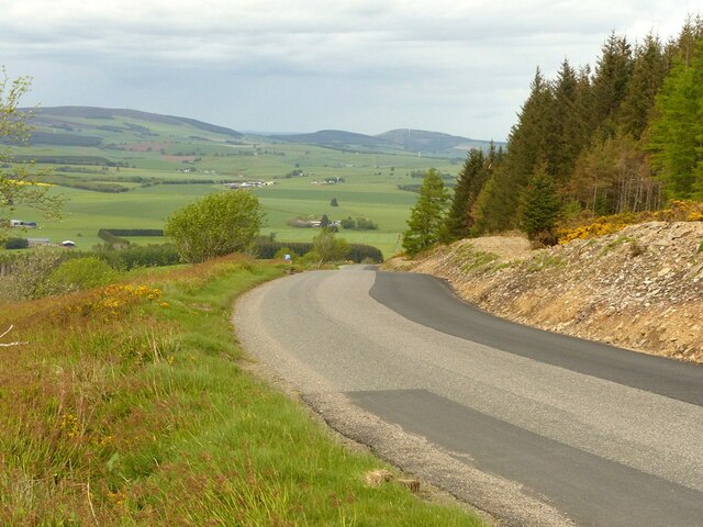
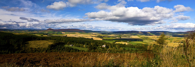
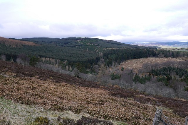
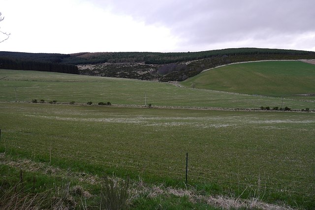
Knockespock Forest is a sprawling woodland located in Aberdeenshire, Scotland. Covering an expansive area of approximately 3,000 hectares, it is a significant natural feature within the region. The forest is situated about 10 miles west of Huntly, a small town known for its picturesque landscapes.
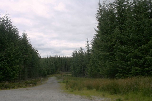
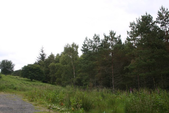
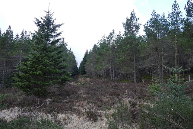
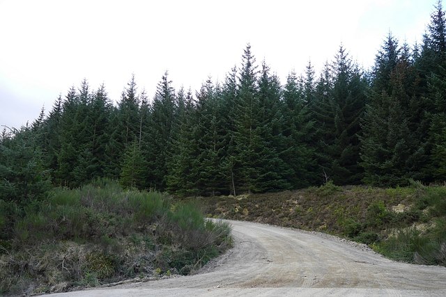
The forest is characterized by its diverse range of tree species, including Scots pine, birch, oak, and elm. These trees create a rich and vibrant canopy, providing habitat and shelter for numerous wildlife species. Deer, red squirrels, and various bird species can often be spotted within the forest, making it a popular destination for nature enthusiasts and birdwatchers.
Knockespock Forest is intersected by a network of walking trails, allowing visitors to explore its scenic beauty. These trails lead through enchanting woodland areas, alongside bubbling streams and through open meadows. The forest offers a tranquil and peaceful environment, perfect for those seeking solitude amidst nature.
In addition to its natural beauty, Knockespock Forest also has historical significance. The remains of an ancient hillfort, dating back to the Iron Age, can be found within its boundaries. This archaeological site adds an extra layer of interest for those interested in Scotland's rich history.
Overall, Knockespock Forest is a captivating destination that offers a blend of natural beauty, wildlife diversity, and historical intrigue. Whether it is a leisurely walk, wildlife spotting, or a historical exploration, this forest provides a delightful experience for all who visit.
If you have any feedback on the listing, please let us know in the comments section below.
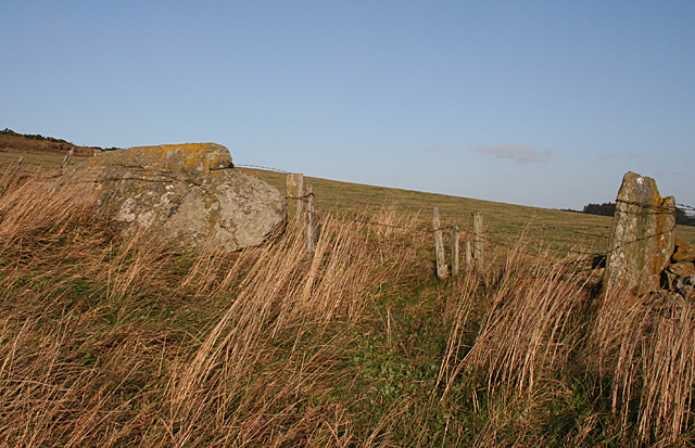
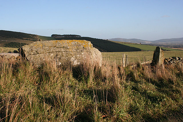
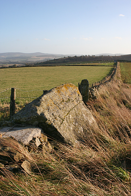
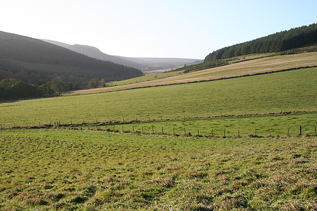
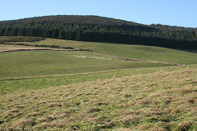
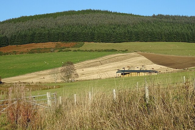
Knockespock Forest Images
Images are sourced within 2km of 57.284694/-2.7673645 or Grid Reference NJ5321. Thanks to Geograph Open Source API. All images are credited.
Knockespock Forest is located at Grid Ref: NJ5321 (Lat: 57.284694, Lng: -2.7673645)
Unitary Authority: Aberdeenshire
Police Authority: North East
What 3 Words
///recruiter.multiple.smallest. Near Alford, Aberdeenshire
Nearby Locations
Related Wikis
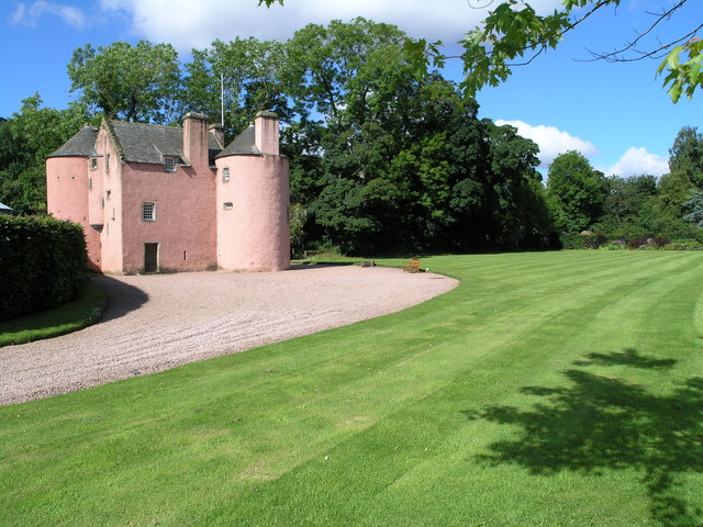
Terpersie Castle
Terpersie Castle (originally built as Dalpersie House) is a 16th-century tower house in Tullynessle, Aberdeenshire, Scotland, located 5 kilometres (3...

Tullynessle
Tullynessle is a hamlet in Aberdeenshire, Scotland, three miles NNW of Alford.The settlement contains the Category A listed Terpersie Castle, a privately...

Clatt
Clatt (Gaelic cleithe, 'concealed'), is a village in Aberdeenshire, Scotland. The remains of a morthouse are located in the cemetery of the old church...

Forbes, Aberdeenshire
Forbes is a hamlet by Tullynessle in Aberdeenshire, Scotland. It is connected to Tullynessle 1 3/4 miles from Alford. == See also == Clan Forbes ��2�...

Druminnor Castle
Druminnor Castle is an L-plan castle, dating from the early 15th century, about two miles east of Rhynnie, in a steep valley by the Keron burn, in Aberdeenshire...

Battle of Alford
The Battle of Alford was an engagement of the Scottish Civil War. It took place near the village of Alford, Aberdeenshire, on 2 July 1645. During the battle...

Castle Croft
Castle Croft was located near New Leslie farm, about 5 kilometres (3.1 mi) south-west of Insch, in Aberdeenshire, Scotland. It was the property of the...

Bridge of Alford
Bridge of Alford is a village in Aberdeenshire, Scotland.Bridge of Alford is situated near Alford beside the bridge over the River Don. It is on the road...
Nearby Amenities
Located within 500m of 57.284694,-2.7673645Have you been to Knockespock Forest?
Leave your review of Knockespock Forest below (or comments, questions and feedback).