Millerflat Plantation

Wood, Forest in Roxburghshire

Scotland

Millerflat Plantation

A drinking fountain at Midlem Village The fountain has been painted since this photo was taken <a href="https://www.geograph.org.uk/photo/961088">NT5227 : Midlem Village from the well</a>.
A drinking fountain at Midlem Village Credit: Walter Baxter

Millerflat Plantation is a sprawling woodland located in Roxburghshire, a county in the Scottish Borders region. Covering a vast area of approximately 500 acres, the plantation is a haven for nature enthusiasts and offers a tranquil escape from the hustle and bustle of nearby towns.

The plantation is predominantly comprised of a mixture of broadleaf and coniferous trees, creating a diverse and picturesque landscape. Towering Scots pines and majestic oak trees dominate the area, while beech, birch, and ash trees also add to the rich tapestry of vegetation. This varied composition not only provides a stunning visual spectacle throughout the year but also supports a wide range of flora and fauna.

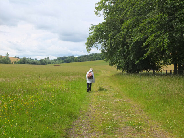
Millerflat Plantation is intersected by several well-maintained trails, allowing visitors to explore the woodland at their own pace. These trails are popular among walkers, joggers, and cyclists, who can immerse themselves in the natural beauty and serenity of the surroundings. The plantation is also home to an abundance of wildlife, including red squirrels, roe deer, and a myriad of bird species.

The management of Millerflat Plantation is committed to sustainable forestry practices, ensuring the long-term conservation of the woodland. This includes selective felling and replanting of trees to maintain a healthy and balanced ecosystem. The plantation also serves as an important carbon sink, contributing to the fight against climate change.

Overall, Millerflat Plantation offers a breath of fresh air and a chance to connect with nature in the heart of Roxburghshire. Whether it's a leisurely stroll, a vigorous hike, or simply a moment of tranquility, this woodland provides a welcome retreat for all who visit.

If you have any feedback on the listing, please let us know in the comments section below.

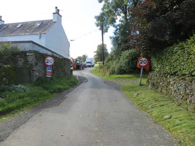
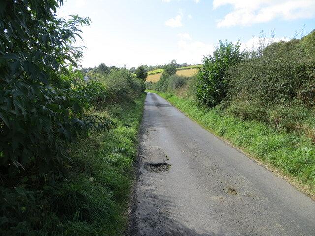
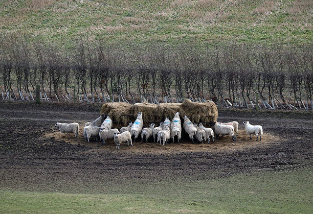
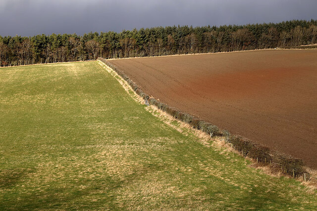
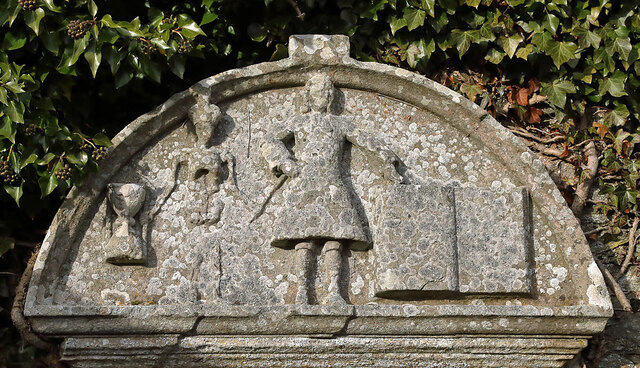
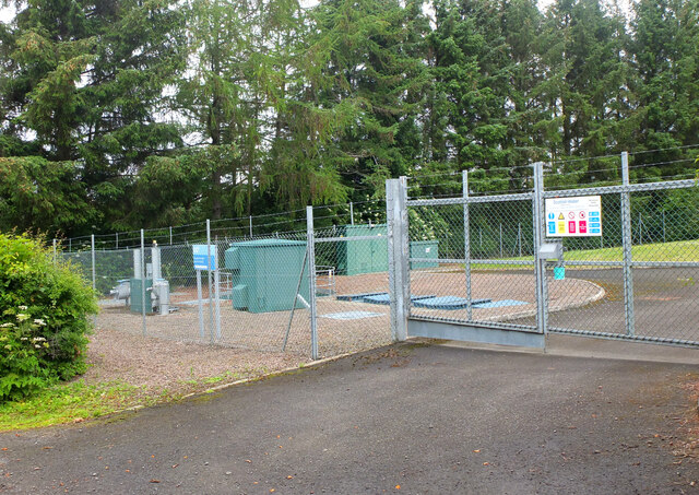
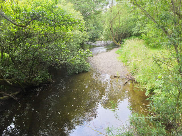
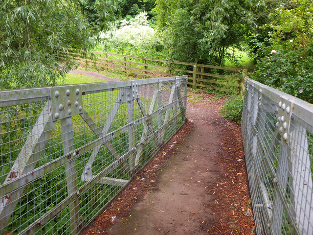
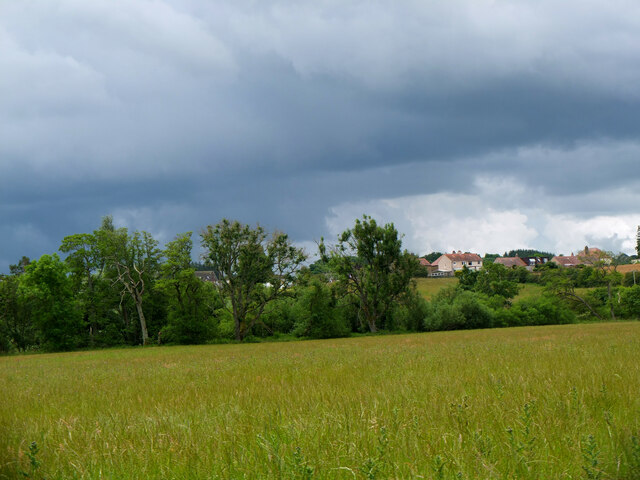
Millerflat Plantation Images

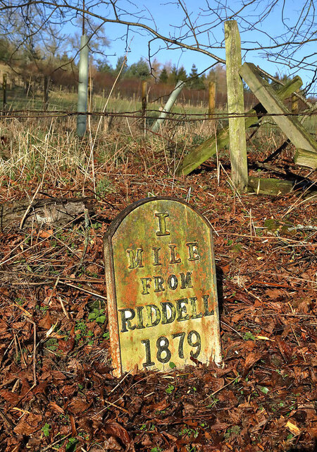
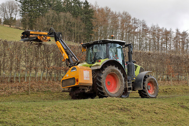
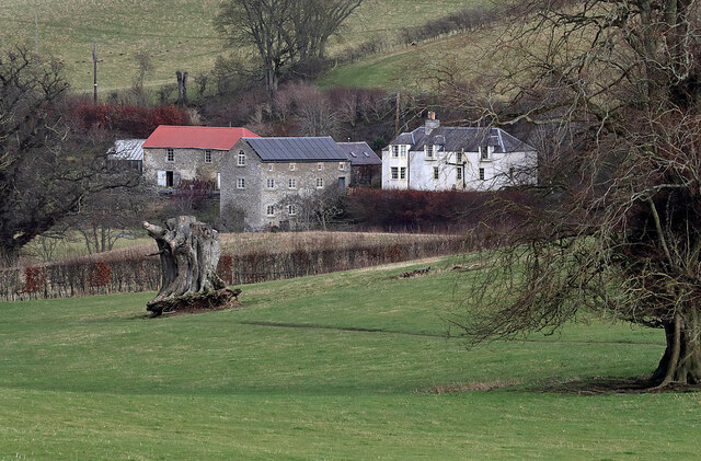
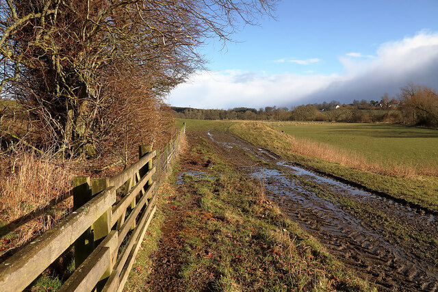
Images are sourced within 2km of 55.526173/-2.7359625 or Grid Reference NT5326. Thanks to Geograph Open Source API. All images are credited.

A drinking fountain at Midlem Village The fountain has been painted since this photo was taken <a href="https://www.geograph.org.uk/photo/961088">NT5227 : Midlem Village from the well</a>.
A drinking fountain at Midlem Village
The fountain has been painted since this photo was taken NT5227 : Midlem Village from the well.
Lilliesleaf Parish Church The first church on this site was said to be built in 1110 and replaced in 1430. The present church was built in 1771 and extended in 1883 and 1910 with the addition of a bell tower. This photo was taken at 11.50 on Christmas Day.
Lilliesleaf Parish Church
The first church on this site was said to be built in 1110 and replaced in 1430. The present church was built in 1771 and extended in 1883 and 1910 with the addition of a bell tower. This photo was taken at 11.50 on Christmas Day.
Lilliesleaf Churchyard This view of the southeast part of the churchyard was taken from the entrance to the Riddell burial aisle.
Lilliesleaf Churchyard
This view of the southeast part of the churchyard was taken from the entrance to the Riddell burial aisle.
A symbolic gravestone at Lilliesleaf Churchyard The head of the winged soul on this lichen-covered portrait headstone is missing.
A symbolic gravestone at Lilliesleaf Churchyard
The head of the winged soul on this lichen-covered portrait headstone is missing.
Minor road about to join the B6453 road in Midlem Looking south-westward.
Minor road about to join the B6453 road in Midlem
Looking south-westward.
Hedge-lined minor road heading towards Midlem Looking south-westward.
Hedge-lined minor road heading towards Midlem
Looking south-westward.
Sheep at Riddell This winter feeding station is by a farm track.
Sheep at Riddell
This winter feeding station is by a farm track.
Mixed farmland at Lilliesleaf The fields were viewed from the B6400 opposite Lilliesleaf Parish Church.
Mixed farmland at Lilliesleaf
The fields were viewed from the B6400 opposite Lilliesleaf Parish Church.
An old Riddell milepost The milepost is in the southeast edge of a strip wood by a farm track. For some historical information, see <a href="https://www.geograph.org.uk/photo/6814513">NT5225 : Old milepost</a>.
An old Riddell milepost
The milepost is in the southeast edge of a strip wood by a farm track. For some historical information, see NT5225 : Old milepost.
Hedge trimming on the Riddell Estate
Riddell Mill This is the site of a former watermill.
Riddell Mill
This is the site of a former watermill.
A farm track on the Riddell Estate The ground was saturated after periods of heavy rain.
A farm track on the Riddell Estate
The ground was saturated after periods of heavy rain.
A gravestone detail at Lilliesleaf This is the top part of an 18th century wall monument gravestone in an enclosure at Lilliesleaf Parish Churchyard. The portrait figure represents the deceased holding a book to show religious devotion, while the menacing figure on the left is a symbol of mortality, a crown-wearing skeleton, the King of Terrors, holding an hourglass and a dart. It was difficult to make anything out on the inscription below.
There is an almost identical stone at Roberton Cemetery <a href="https://www.geograph.org.uk/photo/2551444">NT4314 : A gravestone detail at Roberton</a>.
A gravestone detail at Lilliesleaf
This is the top part of an 18th century wall monument gravestone in an enclosure at Lilliesleaf Parish Churchyard. The portrait figure represents the deceased holding a book to show religious devotion, while the menacing figure on the left is a symbol of mortality, a crown-wearing skeleton, the King of Terrors, holding an hourglass and a dart. It was difficult to make anything out on the inscription below. There is an almost identical stone at Roberton Cemetery NT4314 : A gravestone detail at Roberton.
Sewage treatment plant, Lilliesleaf Near the east end of the village on the lane down to the Ale Water.
Sewage treatment plant, Lilliesleaf
Near the east end of the village on the lane down to the Ale Water.
Ale Water at Lilliesleaf Looking upstream from the Jubilee footbridge.
Ale Water at Lilliesleaf
Looking upstream from the Jubilee footbridge.
Jubilee Bridge, Lilliesleaf The bridge carries a path over the Ale Water with access westwards to a field track to Riddell or eastwards to meet the B6453 road to Midlem.
Jubilee Bridge, Lilliesleaf
The bridge carries a path over the Ale Water with access westwards to a field track to Riddell or eastwards to meet the B6453 road to Midlem.
Field track to Riddell A track through farmland to the estate at Riddell. Compare with <a href="https://www.geograph.org.uk/photo/3035817">NT5325 : Field track, Lilliesleaf</a> taken here on my previous visit in the soggy July of 2012.
Field track to Riddell
A track through farmland to the estate at Riddell. Compare with NT5325 : Field track, Lilliesleaf taken here on my previous visit in the soggy July of 2012.
Ominous sky over Lilliesleaf A heavy shower is falling somewhere to the south in unsettled weather with little wind. I encountered a flooded minor road near Bowden on the drive home a few hours later.
Ominous sky over Lilliesleaf
A heavy shower is falling somewhere to the south in unsettled weather with little wind. I encountered a flooded minor road near Bowden on the drive home a few hours later.
Show me another place!

Millerflat Plantation is located at Grid Ref: NT5326 (Lat: 55.526173, Lng: -2.7359625)

Unitary Authority: The Scottish Borders

Police Authority: The Lothians and Scottish Borders

What 3 Words

///headrest.wire.headliner. Near Selkirk, Scottish Borders

Nearby Locations

Millerflat Plantation

Related Wikis

Lothian and Borders

Lothian and Borders is an area in Scotland consisting of the East Lothian, City of Edinburgh, Midlothian, West Lothian council areas (collectively known...

Lilliesleaf

Lilliesleaf is a small village and civil parish 7 miles (11 km) south east of Selkirk in the Roxburghshire area of Scottish Borders of Scotland. Other...

Old Belses

Old Belses is a village by the Ale Water, in the Parish of Ancrum, in the Scottish Borders of Scotland, in the historic county of Roxburghshire. Other...

Belses

Belses is a village on the Ale Water, in the Scottish Borders area of Scotland the former Selkirkshire. It is situated close to Old Belses, and lies south...

Nearby Amenities

Located within 500m of 55.526173,-2.7359625
Toftbarns
Place: isolated_dwelling
Lat/Long: 55.5273959/-2.7331149
Midlem Mill
Place: isolated_dwelling
Lat/Long: 55.5279957/-2.7319123
Power: pole
Lat/Long: 55.5222666/-2.7370752
Power: pole
Lat/Long: 55.5232736/-2.7360241
Power: pole
Lat/Long: 55.5243685/-2.7350748
Power: pole
Lat/Long: 55.5254606/-2.7341331
Power: pole
Lat/Long: 55.5259849/-2.7343825
Power: pole
Lat/Long: 55.5264848/-2.7341025
Power: pole
Lat/Long: 55.5269098/-2.733731
Power: pole
Lat/Long: 55.52762/-2.7331634
Power: pole
Lat/Long: 55.5277799/-2.7327384
Power: pole
Lat/Long: 55.5279527/-2.7322726
Power: pole
Lat/Long: 55.5279182/-2.7320436
Power: pole
Lat/Long: 55.5290893/-2.7411881
Power: pole
Lat/Long: 55.5285203/-2.7404551
Power: pole
Lat/Long: 55.5282697/-2.7404449
Power: pole
Lat/Long: 55.5276358/-2.7404067
Power: pole
Lat/Long: 55.526809/-2.7403253
Power: pole
Lat/Long: 55.5258049/-2.7402693
Power: pole
Lat/Long: 55.5247748/-2.7402184
Power: pole
Lat/Long: 55.524478/-2.7397577
Power: pole
Lat/Long: 55.5236698/-2.7385386
Power: pole
Lat/Long: 55.5233961/-2.7381492
Power: pole
Lat/Long: 55.5231094/-2.7378387
Power: pole
Lat/Long: 55.5294057/-2.7390257
Power: pole
Lat/Long: 55.5297346/-2.7394803
Power: pole
Lat/Long: 55.5300083/-2.7398341
The data included in this document is from www.openstreetmap.org. The data is made available under ODbL.

Have you been to Millerflat Plantation?

Leave your review of Millerflat Plantation below (or comments, questions and feedback).