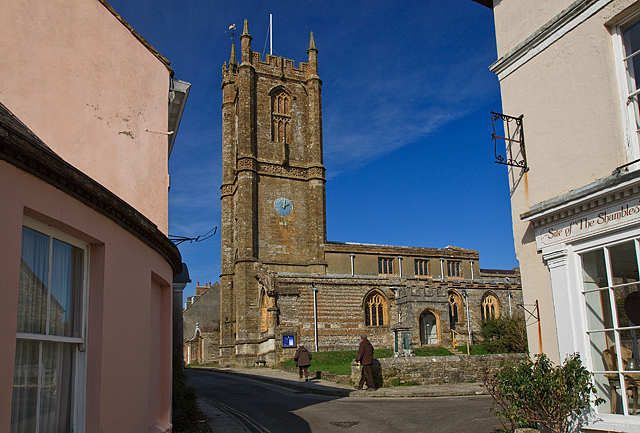
Cerne Abbas
Settlement in Dorset
England
Cerne Abbas
The requested URL returned error: 429 Too Many Requests
If you have any feedback on the listing, please let us know in the comments section below.
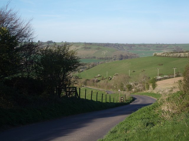
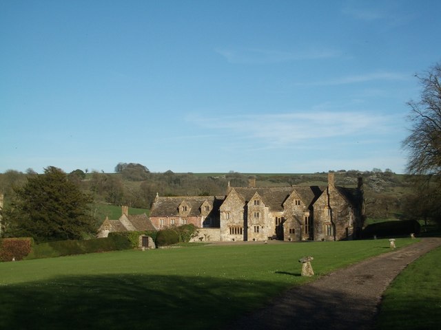
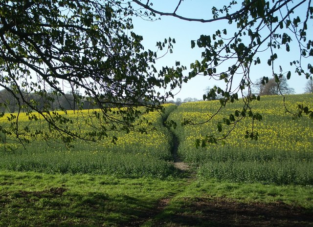
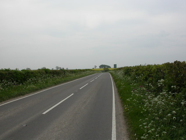
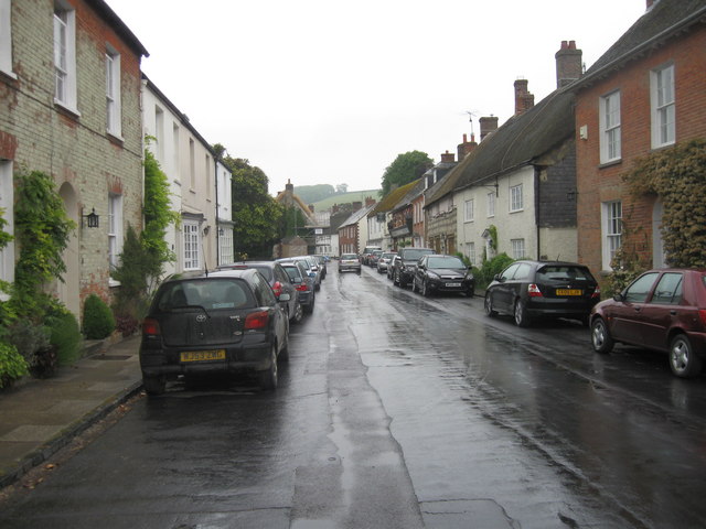
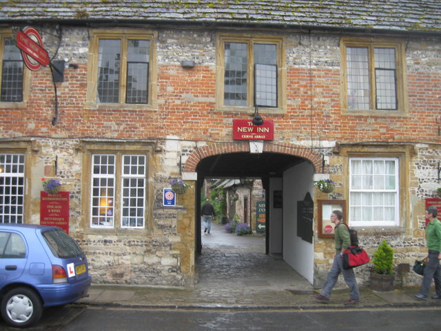
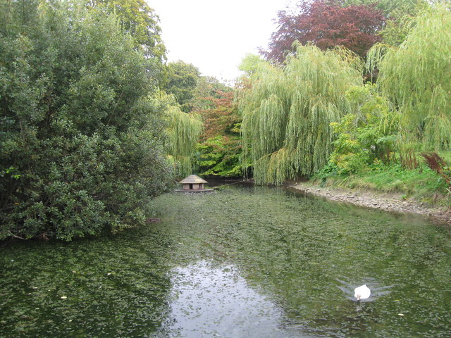
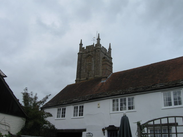
Cerne Abbas Images
Images are sourced within 2km of 50.808782/-2.4770874 or Grid Reference ST6601. Thanks to Geograph Open Source API. All images are credited.

Cerne Abbas is located at Grid Ref: ST6601 (Lat: 50.808782, Lng: -2.4770874)
Unitary Authority: Dorset
Police Authority: Dorset
What 3 Words
///defenders.asterisk.nodded. Near Maiden Newton, Dorset
Nearby Locations
Related Wikis

Cerne Abbey
Cerne Abbey was a Benedictine monastery founded in 987 in the town now called Cerne Abbas, Dorset, by Æthelmær the Stout. == History == The abbey was founded...

Cerne Abbas
Cerne Abbas () is a village and civil parish in the county of Dorset in southern England. It lies in the Dorset Council administrative area in the Cerne...

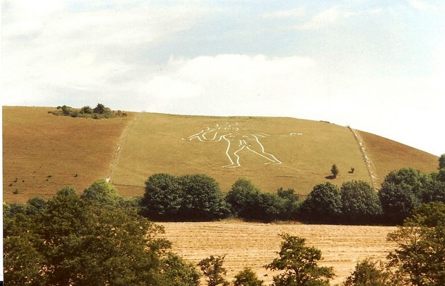
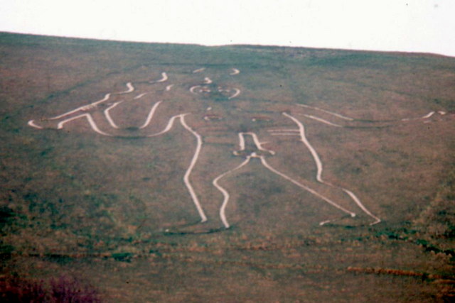
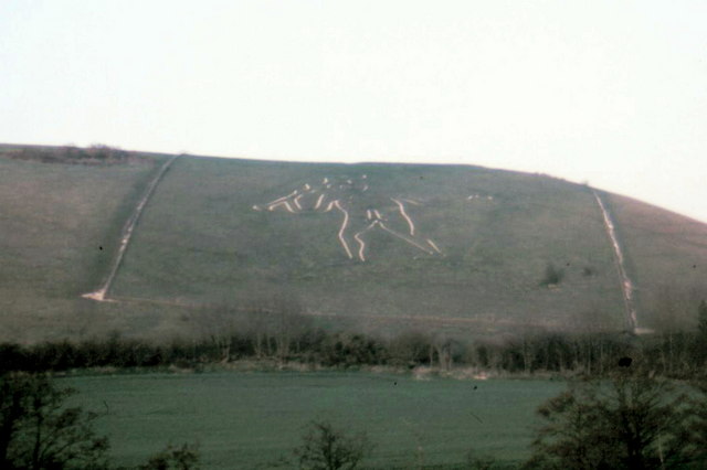
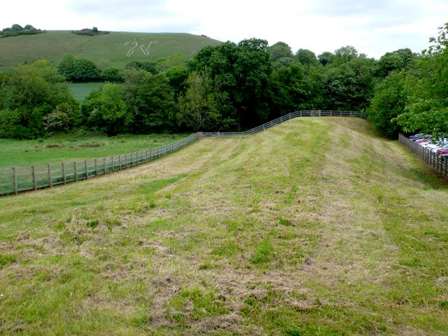
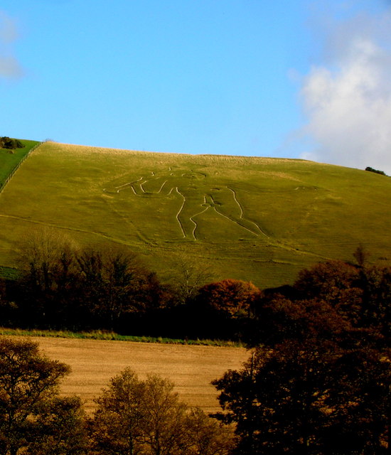
Cerne Abbas Giant
The Cerne Abbas Giant is a hill figure near the village of Cerne Abbas in Dorset, England. Being 55 metres (180 ft) high, it depicts a standing nude male...
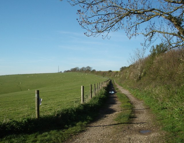
Black Hill Down
Black Hill Down (grid reference ST668005) is a 71.84 hectare biological Site of Special Scientific Interest in Dorset, notified in 1989. == Sources... ==
Nearby Amenities
Located within 500m of 50.808782,-2.4770874Have you been to Cerne Abbas?
Leave your review of Cerne Abbas below (or comments, questions and feedback).