Cerney Wick

Settlement in Gloucestershire Cotswold

England

Cerney Wick

Danger Keep Out! Gate off the Ermine Way to parking area next to gravel pit pools.
Danger Keep Out! Credit: Jeff Gogarty

Cerney Wick is a small village located in the county of Gloucestershire, England. Situated in the South West of the country, it lies approximately 6 miles northeast of the town of Cirencester. The village is nestled in the picturesque Cotswold countryside, surrounded by rolling hills and farmland.

Cerney Wick has a charming rural character, with traditional stone-built houses and cottages lining its narrow lanes. The village is primarily residential, with a small population of around 200 residents. It offers a peaceful and tranquil environment, perfect for those seeking a quiet and idyllic countryside lifestyle.

Despite its small size, Cerney Wick has a strong sense of community and boasts several amenities within close proximity. These include a village hall, a local pub, and a primary school, providing essential facilities for residents. Additionally, the nearby town of Cirencester offers a wider range of amenities, including supermarkets, shops, and healthcare services.

The village benefits from its proximity to the Cotswold Water Park, a popular tourist destination known for its lakes and water-based activities. The park offers opportunities for fishing, sailing, and water skiing, attracting visitors from near and far.

Cerney Wick is well-positioned for outdoor enthusiasts, with numerous walking and cycling trails in the surrounding countryside. The area is also renowned for its natural beauty, with the nearby Cerney and Churn rivers offering scenic views and opportunities for wildlife spotting.

Overall, Cerney Wick is a charming village that offers a peaceful countryside lifestyle, with easy access to amenities and outdoor activities.

If you have any feedback on the listing, please let us know in the comments section below.
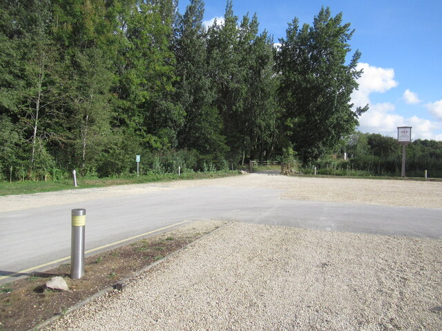
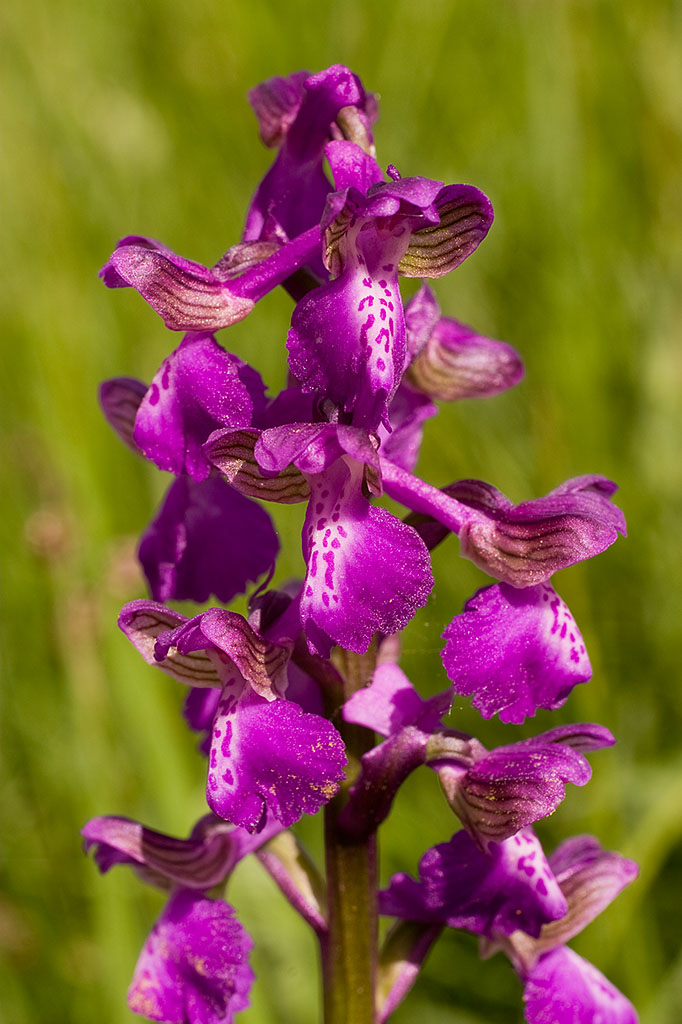
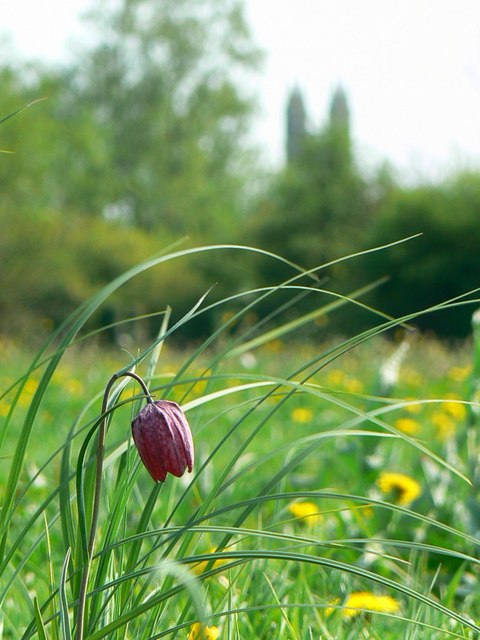
Cerney Wick Images

Images are sourced within 2km of 51.664457/-1.89205 or Grid Reference SU0796. Thanks to Geograph Open Source API. All images are credited.

Danger Keep Out! Gate off the Ermine Way to parking area next to gravel pit pools.
Danger Keep Out!
Gate off the Ermine Way to parking area next to gravel pit pools.
The Ermine Way towards Latton
Canal Milestone Thames and Severn Canal, on the towpath of the Cerney Wick Pound (canal between locks). Replica plate in the style of the originals. Cut Benchmark represented 278.1 ft ASL (in 1900).

Inscription Walbridge / 19 / Inglesham 9¾

Milestone Society ID: TSC-19
Canal Milestone
Thames and Severn Canal, on the towpath of the Cerney Wick Pound (canal between locks). Replica plate in the style of the originals. Cut Benchmark represented 278.1 ft ASL (in 1900). Inscription Walbridge / 19 / Inglesham 9¾ Milestone Society ID: TSC-19
Thames & Severn canal Milestone Modern plate placed there by volunteers of the Cotswold Canals Trust ( <span class="nowrap"><a title="https://cotswoldcanals.org/" rel="nofollow ugc noopener" href="https://cotswoldcanals.org/">Link</a><img style="margin-left:2px;" alt="External link" title="External link - shift click to open in new window" src="https://s1.geograph.org.uk/img/external.png" width="10" height="10"/></span> ). The plate is a respectful clone of the style of the original plates used on this canal. The modern bridge on the "Spine Road" is 200m to the left and can clearly be seen on an alternative view - <a href="https://www.geograph.org.uk/photo/6539254">SU0797 : Thames & Severn Path near South Cerney</a>. An earlier image shows the stone before it was pieced together, and set upright see <a href="https://www.geograph.org.uk/photo/1082683">SU0797 : Thames & Severn Canal milepost near Spine Road Bridge</a>

Inscription: Walbridge / 18½ / Inglesham / 10¼

Milestone Society National ID: TSC-18½
Thames & Severn canal Milestone
Modern plate placed there by volunteers of the Cotswold Canals Trust ( LinkExternal link ). The plate is a respectful clone of the style of the original plates used on this canal. The modern bridge on the "Spine Road" is 200m to the left and can clearly be seen on an alternative view - SU0797 : Thames & Severn Path near South Cerney. An earlier image shows the stone before it was pieced together, and set upright see SU0797 : Thames & Severn Canal milepost near Spine Road Bridge Inscription: Walbridge / 18½ / Inglesham / 10¼ Milestone Society National ID: TSC-18½
Entrance to Cleveland Lakes Viewed from the Thames Path I photographed this same gate in 2011 <a href="https://www.geograph.org.uk/photo/2390988">SU0794 : Sign for Cleveland Lakes</a>.
Entrance to Cleveland Lakes
Viewed from the Thames Path I photographed this same gate in 2011 SU0794 : Sign for Cleveland Lakes.
Footbridge on the Thames Path
Sign for the Thames Path Signpost on the trackbed on a former railway near Cricklade.  The sign indicates the route of the Thames Path.
Sign for the Thames Path
Signpost on the trackbed on a former railway near Cricklade. The sign indicates the route of the Thames Path.
Former railway near Cricklade This former railway trackbed near Cricklade is now a cycleway and footpath.
Former railway near Cricklade
This former railway trackbed near Cricklade is now a cycleway and footpath.
The River Thames The River Thames near Cricklade.
The River Thames
The River Thames near Cricklade.
The River Thames The River Thames beside North Meadow Nature Reserve.
The River Thames
The River Thames beside North Meadow Nature Reserve.
Roundhouse and Cerney Wick Lock A disused lock on the defunct Thames and Severn Canal.  The building on the right is a lockkeeper's house.  It is one of five on this canal; they are known as Roundhouses.
Roundhouse and Cerney Wick Lock
A disused lock on the defunct Thames and Severn Canal. The building on the right is a lockkeeper's house. It is one of five on this canal; they are known as Roundhouses.
The A419 passing Cerney Wick The A419 follows the route of Ermin Way, a Roman Road at this point.  The road was dualled some years ago, the old A449 runs on a parallel course nearby.
The A419 passing Cerney Wick
The A419 follows the route of Ermin Way, a Roman Road at this point. The road was dualled some years ago, the old A449 runs on a parallel course nearby.
Latton Church The church of St. John the Baptist at Latton.  The church dates from the 12th century and was restored in 1858-63 by William Butterfield.  The church is Grade I listed, see: <span class="nowrap"><a title="https://historicengland.org.uk/listing/the-list/list-entry/1284123?section=official-list-entry" rel="nofollow ugc noopener" href="https://historicengland.org.uk/listing/the-list/list-entry/1284123?section=official-list-entry">Link</a><img style="margin-left:2px;" alt="External link" title="External link - shift click to open in new window" src="https://s1.geograph.org.uk/img/external.png" width="10" height="10"/></span>
Latton Church
The church of St. John the Baptist at Latton. The church dates from the 12th century and was restored in 1858-63 by William Butterfield. The church is Grade I listed, see: LinkExternal link
Old cross Old medieval preaching or wayside cross in Latton.  The cross is Grade II listed, see: <span class="nowrap"><a title="https://historicengland.org.uk/listing/the-list/list-entry/1284078?section=official-list-entry" rel="nofollow ugc noopener" href="https://historicengland.org.uk/listing/the-list/list-entry/1284078?section=official-list-entry">Link</a><img style="margin-left:2px;" alt="External link" title="External link - shift click to open in new window" src="https://s1.geograph.org.uk/img/external.png" width="10" height="10"/></span>
Old cross
Old medieval preaching or wayside cross in Latton. The cross is Grade II listed, see: LinkExternal link
Road junction at Latton Road junction at Latton near Malvern.
Road junction at Latton
Road junction at Latton near Malvern.
Door arch to Latton Church The south door and arch of Latton Church.
Door arch to Latton Church
The south door and arch of Latton Church.
Lake at the Cotswold Water Park The Cotswold Water Park covers around 40 square miles on the borders of Gloucestershire and Wiltshire.  The park is made up of artificial lakes which have been developed in former gravel pits, to cater for leisure activities.

The Water Park has two parts, the larger around the villages of South Cerney and Ashton Keynes, while the other is further east around Fairford and Lechlade.
Lake at the Cotswold Water Park
The Cotswold Water Park covers around 40 square miles on the borders of Gloucestershire and Wiltshire. The park is made up of artificial lakes which have been developed in former gravel pits, to cater for leisure activities. The Water Park has two parts, the larger around the villages of South Cerney and Ashton Keynes, while the other is further east around Fairford and Lechlade.
Hotel carpark, Cotswold Water Park
Show me another place!

Cerney Wick is located at Grid Ref: SU0796 (Lat: 51.664457, Lng: -1.89205)

Administrative County: Gloucestershire

District: Cotswold

Police Authority: Gloucestershire

What 3 Words

///screamed.heartless.trickles. Near South Cerney, Gloucestershire

Nearby Locations

Cerney Wick Churn Pool

Related Wikis

Elmlea Meadows

Elmlea Meadows (grid reference SU079948) is a 6.9-hectare (17-acre) biological Site of Special Scientific Interest in Gloucestershire, notified in 1989...

Wildmoorway Meadows

Wildmoorway Meadows (grid reference SU066973) is a 12.6-hectare (31-acre) biological Site of Special Scientific Interest in Gloucestershire, to the east...

Latton, Wiltshire

Latton is a village and civil parish in Wiltshire, England, 1.5 miles (2.4 km) north of Cricklade, on the county border with Gloucestershire. The village...

South Cerney railway station

South Cerney railway station was on the Midland and South Western Junction Railway in Gloucestershire. The station opened on 18 December 1883 on the Swindon...

North Meadow, Cricklade

North Meadow, Cricklade (grid reference SU094946) is a hay meadow near the town of Cricklade, in Wiltshire, England. It is 24.6 hectares in size. It is...

Upper Waterhay Meadow

Upper Waterhay Meadow (grid reference SU068937) is a 2.8 hectare biological Site of Special Scientific Interest in north Wiltshire, England, notified in...

Church of All Hallows, South Cerney

The Church of All Hallows is an Anglican parish church in the village of South Cerney, Gloucestershire. The church is of Norman origins, with medieval...

South Cerney

South Cerney is a village and civil parish in the Cotswold district of Gloucestershire, 3 miles south of Cirencester and close to the border with Wiltshire...

Nearby Amenities

Located within 500m of 51.664457,-1.89205
Pub
The Crown Inn
Lat/Long: 51.6624351/-1.8900385
Cerney Wick
Is In: Gloucestershire, England, UK
Place: village
Lat/Long: 51.6616967/-1.8907367
Seamark Type: gate
Waterway: lock_gate
Lat/Long: 51.6629701/-1.8877454
Post Box
Operator: Royal Mail
Post Box Type: wall
Ref: GL7 99D
Royal Cypher: GVIR
Royal Cypher Wikidata: Q33102169
Lat/Long: 51.6637961/-1.8909465
Barrier: kissing_gate
Foot: yes
Lat/Long: 51.6680075/-1.8949267
Seamark Type: gate
Waterway: lock_gate
Lat/Long: 51.6632514/-1.8878361
Barrier: kissing_gate
Foot: yes
Lat/Long: 51.6679481/-1.8948307
Bench
Backrest: yes
Lat/Long: 51.662785/-1.8887999
Marker: yes
Lat/Long: 51.6687039/-1.8925172
Information: guidepost
Tourism: information
Lat/Long: 51.6679601/-1.8948399
Information: guidepost
Tourism: information
Lat/Long: 51.6677427/-1.8958829
The data included in this document is from www.openstreetmap.org. The data is made available under ODbL.

Have you been to Cerney Wick?

Leave your review of Cerney Wick below (or comments, questions and feedback).