Cerist

Settlement in Montgomeryshire

Wales

Cerist

Glyndwr's Way near Van
Glyndwr's Way near Van Credit: Dave Kelly

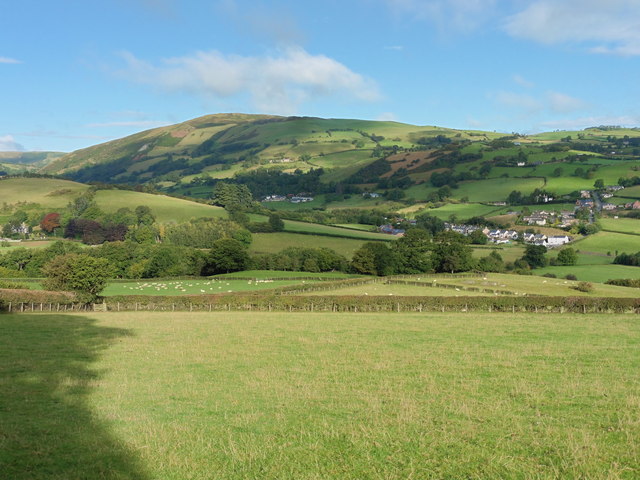
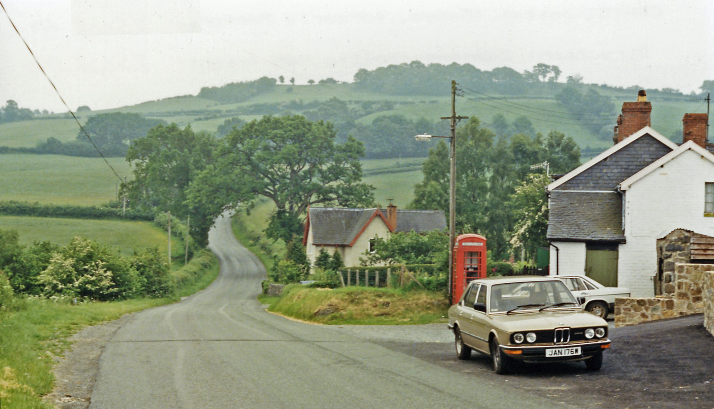
Cerist is a small village located in the historic county of Montgomeryshire, Wales. Situated in the picturesque Dyfi Valley, it is surrounded by rolling hills and lush green countryside. The village is nestled along the banks of the River Dyfi, which adds to its scenic charm.

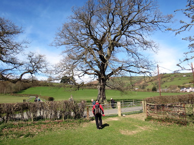
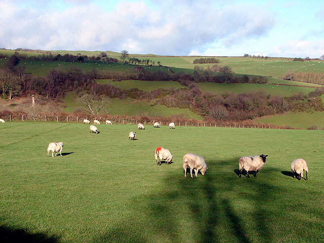
With a population of approximately 500 residents, Cerist maintains a close-knit community feel. The village is known for its peaceful and tranquil atmosphere, attracting visitors seeking a break from the hustle and bustle of larger towns and cities. The surrounding natural beauty makes Cerist an ideal destination for outdoor enthusiasts, with numerous hiking and cycling trails offering stunning views of the surrounding landscape.

Cerist has a rich history, dating back to medieval times. The village is home to several historic landmarks, including the 12th-century St. David's Church, which stands as a testament to the area's religious heritage. The village also boasts a number of traditional Welsh cottages, adding to its quaint and charming character.

Despite its small size, Cerist offers a range of amenities for both residents and visitors. There is a community center, a local pub, and a village shop that provides essential goods and services. The village also hosts various community events throughout the year, fostering a strong sense of community spirit.

Overall, Cerist is a captivating village that offers a peaceful retreat within the stunning Welsh countryside. Its rich history, natural beauty, and welcoming community make it a hidden gem worth exploring.

If you have any feedback on the listing, please let us know in the comments section below.

Cerist Images

Images are sourced within 2km of 52.480859/-3.525492 or Grid Reference SN9688. Thanks to Geograph Open Source API. All images are credited.

Glyndwr's Way near Van
Ger y Fan / Near Y Fan Cerddwyr yn dilyn Llwybr Glyndwr ger pentre o'r enw'r Fan.

Walkers following Glyndwr's Way near a village called Y Fan (the peak).
Ger y Fan / Near Y Fan
Cerddwyr yn dilyn Llwybr Glyndwr ger pentre o'r enw'r Fan. Walkers following Glyndwr's Way near a village called Y Fan (the peak).
Pond And Fields Below Cefn Dolgwden
Sheep on the Road near Talgarth Manor
Farm track to Morfodion
Farm track to Cefn Mawr Also a junction on the Severn Way, a long distance walking route which follows the River Severn downstream from source to sea.
Farm track to Cefn Mawr
Also a junction on the Severn Way, a long distance walking route which follows the River Severn downstream from source to sea.
Van Post Office, Llanidloes, Montgomeryshire. Van is a small village 1½ miles north of Llanidloes which is on the upper reaches of the River Severn.
Van Post Office, Llanidloes, Montgomeryshire.
Van is a small village 1½ miles north of Llanidloes which is on the upper reaches of the River Severn.
Van Railway Track bed The track bed can be seen alongside the fence. The railway ran from Van to Caersws, its main purpose being to service the lead mine near here. The mine closed in the 1920's and presumably so did the railway.
Van Railway Track bed
The track bed can be seen alongside the fence. The railway ran from Van to Caersws, its main purpose being to service the lead mine near here. The mine closed in the 1920's and presumably so did the railway.
Chapel at Y Fan On the road to Trefeglwys.
Chapel at Y Fan
On the road to Trefeglwys.
Farmland at Y Fan At the west of the square, looking eastwards towards Caeiago Farm.
Farmland at Y Fan
At the west of the square, looking eastwards towards Caeiago Farm.
Fan Wesleyan Chapel Built in 1871 and converted (for residential use?) in 2002.
Fan Wesleyan Chapel
Built in 1871 and converted (for residential use?) in 2002.
Fan Wesleyan Chapel
Fan Wesleyan Chapel
Farmland north of Y Fan Looking southwest towards the village.
Farmland north of Y Fan
Looking southwest towards the village.
Farmland at Llwyn-crwn Looking westwards towards Pen-y-Castell.
Farmland at Llwyn-crwn
Looking westwards towards Pen-y-Castell.
Pasture at Cwmdylluan Some of the old mine workings at Glangwden are visible on the horizon.
Pasture at Cwmdylluan
Some of the old mine workings at Glangwden are visible on the horizon.
Cyffwrdd Ffordd ger Cefn Bach / Road Junction near Cefn Bach Cyffwrdd Ffordd ar Lwybyr Beicio Sustrans 81 / Road Junction on Sustrans Cycle Route 81
Cyffwrdd Ffordd ger Cefn Bach / Road Junction near Cefn Bach
Cyffwrdd Ffordd ar Lwybyr Beicio Sustrans 81 / Road Junction on Sustrans Cycle Route 81
Llyn Ebyr
Llyn Ebyr
Show me another place!

Cerist is located at Grid Ref: SN9688 (Lat: 52.480859, Lng: -3.525492)

Unitary Authority: Powys

Police Authority: Dyfed Powys

What 3 Words

///forklift.left.oils. Near Llanidloes, Powys

Nearby Locations

Cerist

Related Wikis

Cerist railway station

Cerist railway station served the town of Llanidloes, in the historical county of Montgomeryshire, Wales, from 1873 to 1940 on the Van Railway. == History... ==

Van, Llanidloes

Van (Welsh: Y Fan) is a hamlet in Powys, Mid Wales, located to the north west of Llanidloes. Its name, an anglicisation of the local Welsh placename "Fan...

Garth and Van Road railway station

Garth and Van Road railway station served the village of Garth, in the historical county of Montgomeryshire, Wales, from 1873 to 1940 on the Van Railway...

Trefeglwys

Trefeglwys is a village and community in Powys, Wales, within the historic county of Montgomeryshire. The name derives from the Welsh language tref 'township...

Nearby Amenities

Located within 500m of 52.480859,-3.525492
Cerist
Created By: POI Editor
Is In: Powys
Place: hamlet
Source: npe
Lat/Long: 52.4814334/-3.5307562
Building: yes
Lat/Long: 52.4809911/-3.5288069
Building: yes
Lat/Long: 52.4809519/-3.5269401
Power: pole
Lat/Long: 52.4838162/-3.5200204
Power: pole
Lat/Long: 52.4831302/-3.5199882
Power: pole
Lat/Long: 52.4821436/-3.5200848
Power: pole
Lat/Long: 52.4812337/-3.5201679
Power: pole
Lat/Long: 52.480332/-3.5202672
Power: pole
Lat/Long: 52.4795806/-3.5203316
Power: pole
Lat/Long: 52.4788536/-3.5204308
Power: pole
Lat/Long: 52.4778947/-3.5205113
Cerist
Historic Railway: station
Railway: site
Wikidata: Q108166753
Wikipedia: en:Cerist railway station
Lat/Long: 52.4806742/-3.5262778
Give Way
Direction: forward
Lat/Long: 52.4814971/-3.5280586
Give Way
Direction: forward
Lat/Long: 52.4848592/-3.5275023
The data included in this document is from www.openstreetmap.org. The data is made available under ODbL.

Have you been to Cerist?

Leave your review of Cerist below (or comments, questions and feedback).