Cerist
Settlement in Merionethshire
Wales
Cerist
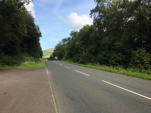
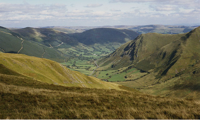
Cerist is a small village located in the county of Merionethshire, Wales. Situated in the beautiful Dyfi Valley, it is surrounded by stunning natural landscapes and picturesque views. The village is nestled between the towns of Machynlleth and Dolgellau, offering residents and visitors easy access to amenities and services.
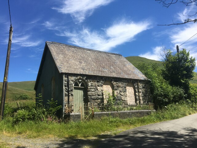
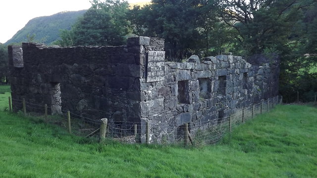
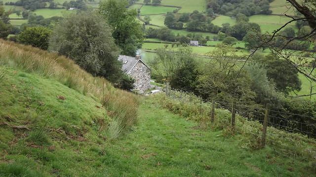
With a population of around 200 people, Cerist exudes a peaceful and close-knit community atmosphere. The village is primarily residential, with a mix of traditional Welsh cottages and more modern houses. The architecture reflects the rich history of the area, with some buildings dating back several centuries.
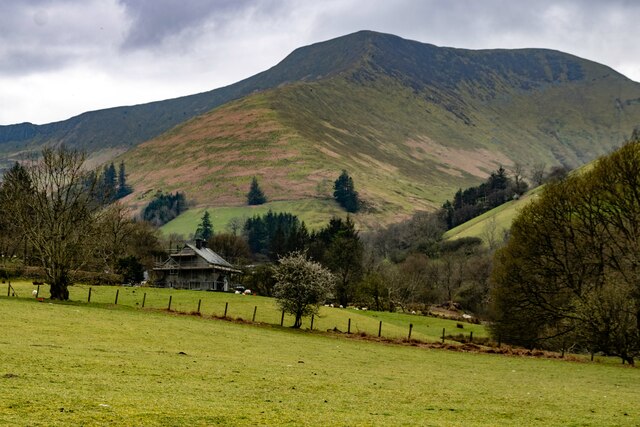
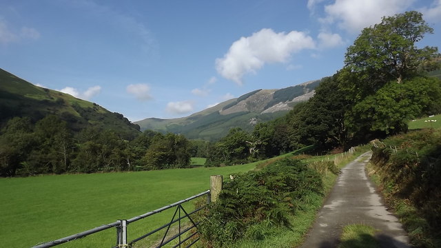
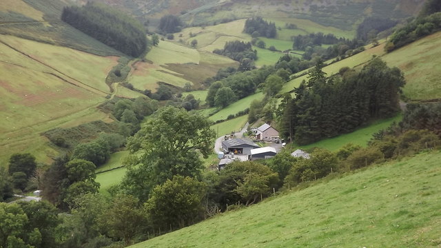
Nature lovers will find themselves in paradise in Cerist. The village is enveloped by lush green hills, with the nearby River Dyfi flowing gently through the valley. The surrounding countryside offers ample opportunities for outdoor activities such as hiking, cycling, and fishing. The area is also known for its diverse wildlife, including birds of prey and rare species of wildflowers.
Despite its small size, Cerist boasts a few amenities to cater to the needs of its residents. These include a local pub, a village hall, and a small shop for basic necessities. For more extensive shopping, entertainment, and healthcare facilities, residents can easily access the nearby towns.
Cerist is a hidden gem in the heart of Merionethshire, offering a tranquil and idyllic lifestyle amidst the breathtaking Welsh countryside. It is a place where residents and visitors can escape the hustle and bustle of city life and immerse themselves in the natural beauty of the area.
If you have any feedback on the listing, please let us know in the comments section below.
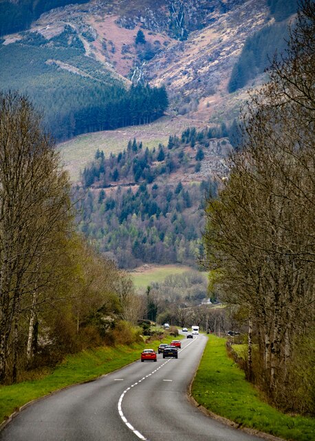
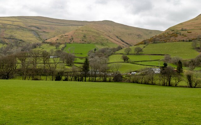
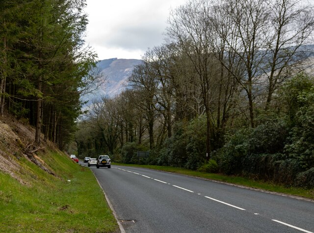
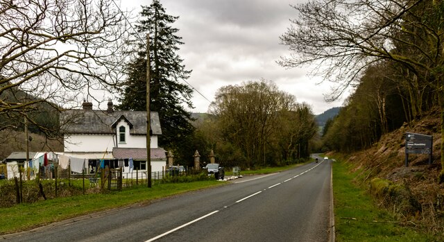
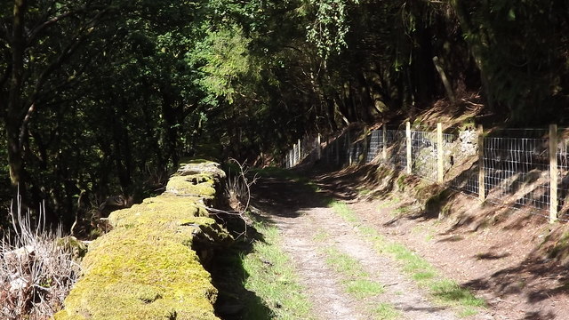
Cerist Images
Images are sourced within 2km of 52.735367/-3.711513 or Grid Reference SH8416. Thanks to Geograph Open Source API. All images are credited.


Cerist is located at Grid Ref: SH8416 (Lat: 52.735367, Lng: -3.711513)
Unitary Authority: Gwynedd
Police Authority: North Wales
What 3 Words
///iterative.central.prompting. Near Cwm-Llinau, Powys
Nearby Locations
Related Wikis

Craig Cywarch
Craig Cywarch is an extensive crag looming above Cwm Cywarch. The nearest village is Dinas Mawddwy on the A470. Climbing routes on the various buttresses...
Minllyn quarry
Minllyn quarry was a slate quarry near Dinas Mawddwy in Wales that opened before 1793 and continued working intermittently until 1925. The quarry is located...

Dinas Mawddwy
Dinas Mawddwy (Welsh pronunciation: [ˈdiːnas mau̯ðʊɨ̯]; ) is a village in the community of Mawddwy in south-east Gwynedd, north Wales. It lies within the...
Afon Cerist
The Afon Cerist is a small river that flows from underneath Craig Portas, the cliffs on the north side of Maesglase mountain, to meet the River Dyfi at...
Nearby Amenities
Located within 500m of 52.735367,-3.711513Have you been to Cerist?
Leave your review of Cerist below (or comments, questions and feedback).