The Giant
Heritage Site in Dorset
England
The Giant
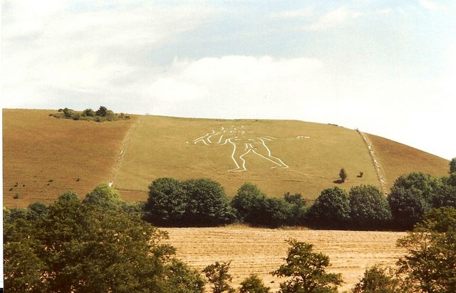
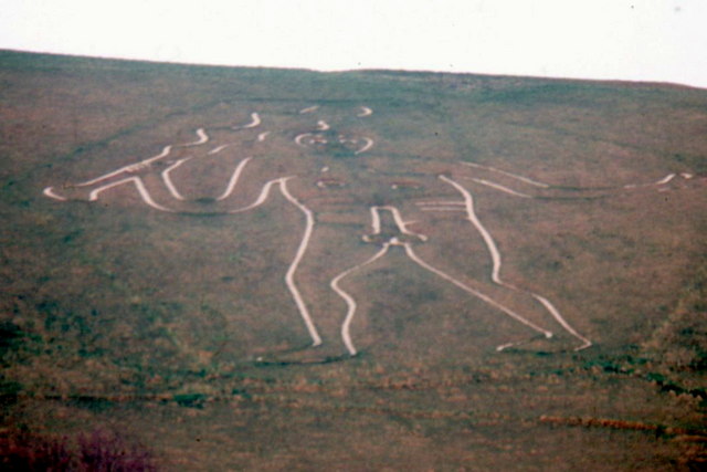
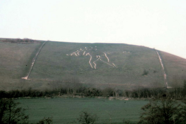
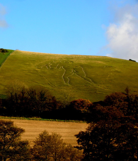
The Giant, Dorset is a renowned heritage site located on the Cerne Abbas hillside in Dorset, England. This masterpiece of ancient artwork is one of the most enigmatic and iconic figures etched into the British landscape. Carved into the chalky hillside, the Giant measures approximately 180 feet tall and wields a club in one hand, while the other arm is outstretched. The figure's defining feature, however, is its disproportionately large phallus, adding intrigue and mystery to its purpose and origin.
The origins of the Giant are shrouded in speculation, with several theories proposed over the years. The most widely accepted belief is that it dates back to the late 17th or early 18th century, possibly created to mock Oliver Cromwell or to celebrate fertility. However, some suggest it may have much older roots, possibly of Celtic or Roman origin, with connections to fertility rituals or pagan beliefs.
The Giant's design is created by removing the topsoil to reveal the underlying white chalk bedrock. This technique, known as the "striking method," involves cutting a narrow trench along the outline of the figure and then widening it into the desired shape. It requires regular maintenance to ensure its visibility, and it is periodically re-chalked to maintain its brightness.
The Giant, Dorset, has become an iconic symbol of the county and attracts countless visitors each year. It is protected as a Scheduled Ancient Monument, ensuring its preservation for future generations. The site offers breathtaking views of the surrounding countryside and is a popular spot for picnics, walks, and even fertility rituals on the eve of May Day.
If you have any feedback on the listing, please let us know in the comments section below.
The Giant Images
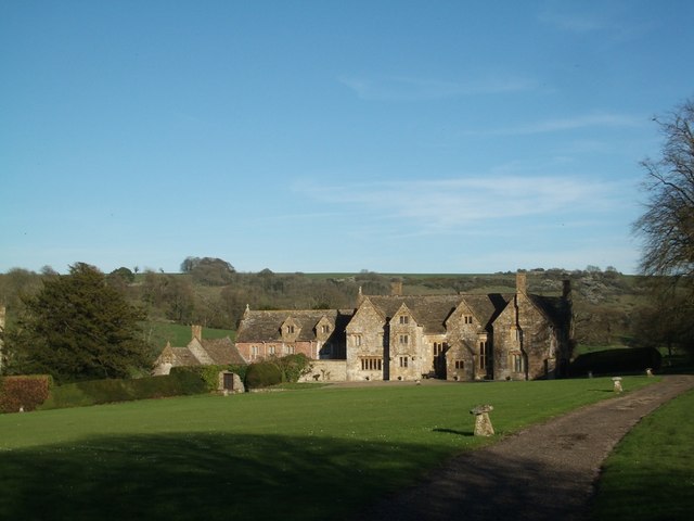
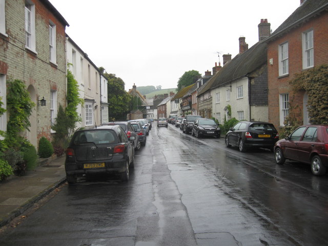
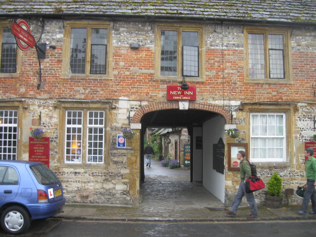
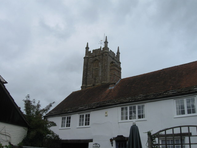
Images are sourced within 2km of 50.812/-2.475 or Grid Reference ST6601. Thanks to Geograph Open Source API. All images are credited.

The Giant is located at Grid Ref: ST6601 (Lat: 50.812, Lng: -2.475)
Unitary Authority: Dorset
Police Authority: Dorset
What 3 Words
///riots.utensil.roughest. Near Maiden Newton, Dorset
Nearby Locations
Related Wikis

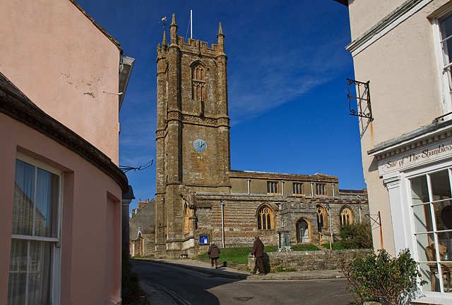
Cerne Abbey
Cerne Abbey was a Benedictine monastery founded in 987 in the town now called Cerne Abbas, Dorset, by Æthelmær the Stout. == History == The abbey was founded...

Cerne Abbas Giant
The Cerne Abbas Giant is a hill figure near the village of Cerne Abbas in Dorset, England. Being 55 metres (180 ft) high, it depicts a standing nude male...

Cerne Abbas
Cerne Abbas () is a village and civil parish in the county of Dorset in southern England. It lies in the Dorset Council administrative area in the Cerne...
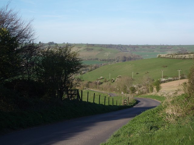
Black Hill Down
Black Hill Down (grid reference ST668005) is a 71.84 hectare biological Site of Special Scientific Interest in Dorset, notified in 1989. == Sources... ==
Nearby Amenities
Located within 500m of 50.812,-2.475Have you been to The Giant?
Leave your review of The Giant below (or comments, questions and feedback).