The Fosse

Heritage Site in Hertfordshire

England

The Fosse

Park Looking NE from TL138067 across the lake in the park, toward the abbey in TL1407
Park Credit: Rob Hinkley

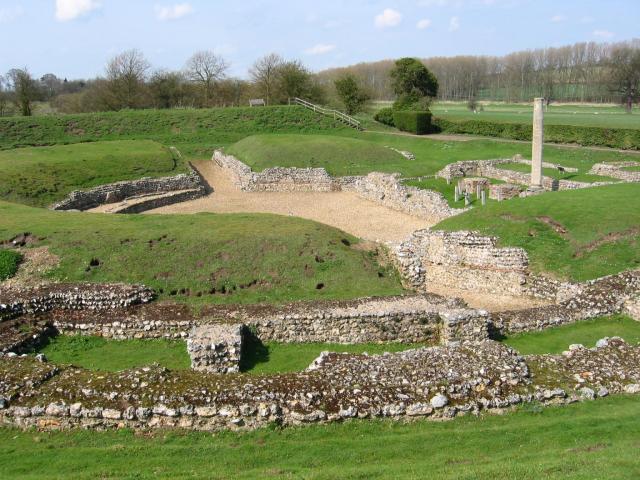
The Fosse, located in Hertfordshire, England, is a historical heritage site that holds significant cultural and archaeological importance. It is believed to be an Iron Age hillfort, dating back to around 300 BC, and is recognized as a Scheduled Monument by English Heritage.

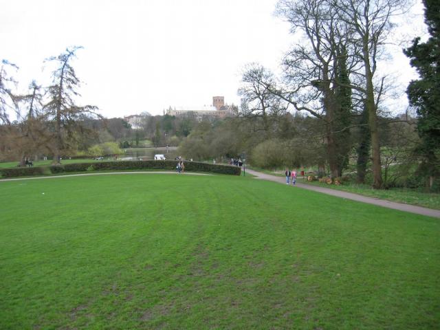
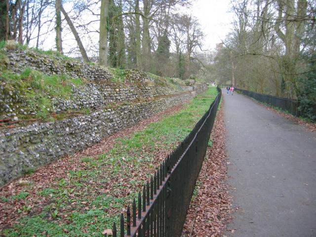
Situated on a prominent ridge overlooking the surrounding countryside, The Fosse was strategically positioned to provide a defensive advantage. The site covers an area of approximately 3.5 hectares and consists of a series of earthwork ramparts and ditches. These defensive features would have provided protection to the inhabitants from potential threats during ancient times.

The Fosse is surrounded by a diverse range of flora and fauna, contributing to its ecological significance. The site offers a unique opportunity for visitors to explore the natural beauty of the area, with various walking trails and viewpoints providing stunning vistas of the surrounding landscape.

Archaeological investigations have unearthed numerous artifacts at The Fosse, including pottery, flint tools, and evidence of metalworking. These findings provide valuable insights into the daily lives and activities of the people who once inhabited the hillfort.

Today, The Fosse serves as an important cultural and historical resource for the local community and attracts visitors interested in learning about the region's ancient past. With its rich heritage and picturesque setting, The Fosse continues to be a site of great archaeological and historical significance.

If you have any feedback on the listing, please let us know in the comments section below.
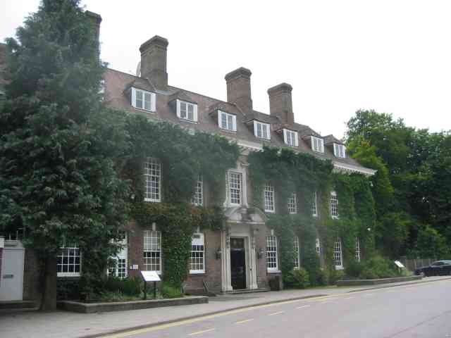
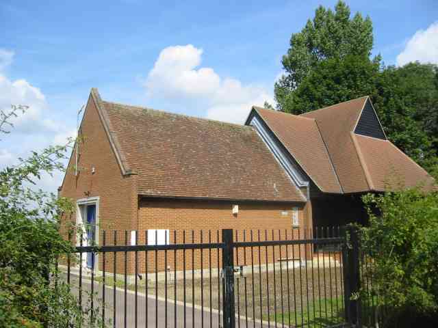
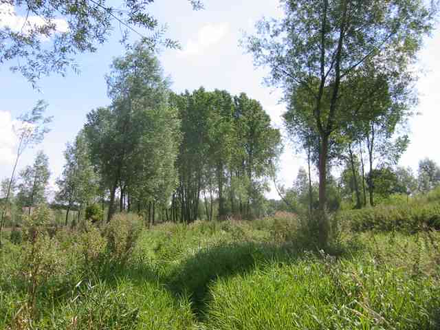
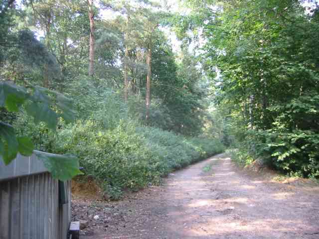
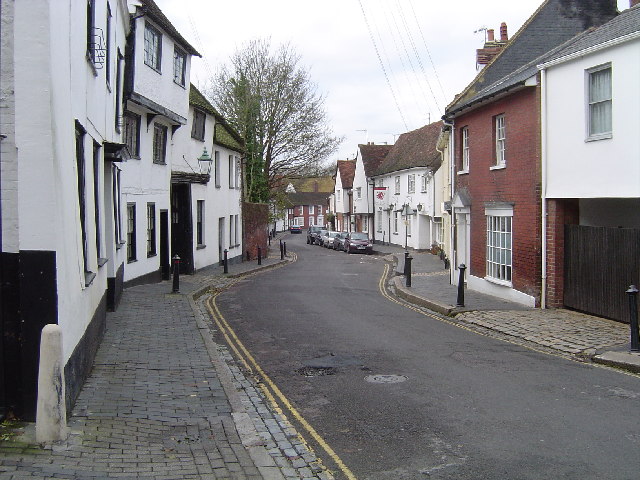
The Fosse Images

Images are sourced within 2km of 51.753/-0.37 or Grid Reference TL1207. Thanks to Geograph Open Source API. All images are credited.

Park Looking NE from TL138067 across the lake in the park, toward the abbey in TL1407
Park
Looking NE from TL138067 across the lake in the park, toward the abbey in TL1407
Roman city wall Looking NE from TL137066, with the old Roman city wall on the left.
Roman city wall
Looking NE from TL137066, with the old Roman city wall on the left.
Gorhambury House The Gorhambury estate is private, but the owners allow the hoi-polloi to walk and cycle on their roads. 
Photo: Looking NE from the road at about TL111076.
Gorhambury House
The Gorhambury estate is private, but the owners allow the hoi-polloi to walk and cycle on their roads. Photo: Looking NE from the road at about TL111076.
Stone house House by the entrance to Verulamium Roman Theatre, on the left hand side coming into St Albans along the A4147 (TL135074).
Stone house
House by the entrance to Verulamium Roman Theatre, on the left hand side coming into St Albans along the A4147 (TL135074).
Roman theatre at Verulamium Remains of the theatre at the Roman city of Verulamium (Saint Albans), TL134074.
Roman theatre at Verulamium
Remains of the theatre at the Roman city of Verulamium (Saint Albans), TL134074.
St Alban's cathedral The west front as rebuilt in the late C19 by a benefactor, Lord Grimthorpe, to his own specification. From TL143071, looking East
St Alban's cathedral
The west front as rebuilt in the late C19 by a benefactor, Lord Grimthorpe, to his own specification. From TL143071, looking East
St Stephen's Church  St Albans This church has sufficient land for car parking which is a boon as the road outside is always busy.
St Stephen's Church St Albans
This church has sufficient land for car parking which is a boon as the road outside is always busy.
The Parish Church of St Michael, St Albans This church is on the edge of Verulamium park, close to the Roman museum. It was probably originally created to receive pilgrims on their way to the shrine of St Alban at the Abbey.
The Parish Church of St Michael, St Albans
This church is on the edge of Verulamium park, close to the Roman museum. It was probably originally created to receive pilgrims on their way to the shrine of St Alban at the Abbey.
Batchwood Hall The hall and grounds are devoted to golf and tennis
and the hall is used for social functions, night clubs and dancing.
Batchwood Hall
The hall and grounds are devoted to golf and tennis and the hall is used for social functions, night clubs and dancing.
No Access by this route The log blocks what used to be a layby when the road was straightened but now it has been deleted for safety's sake
No Access by this route
The log blocks what used to be a layby when the road was straightened but now it has been deleted for safety's sake
The edge of the town This view from Bedmond Lane shows the abrupt demarcation between housing estate and farmland.
The edge of the town
This view from Bedmond Lane shows the abrupt demarcation between housing estate and farmland.
Bridge over Beechtree Lane The design of this bridge carrying the M10 just before it merges with the M1 is typical of the period with the rustications
Bridge over Beechtree Lane
The design of this bridge carrying the M10 just before it merges with the M1 is typical of the period with the rustications
Bow Bridge Pumping Station This station is on the route for sewage from  Redbourn down to Rickmansworth
Bow Bridge Pumping Station
This station is on the route for sewage from Redbourn down to Rickmansworth
The Ver Walk  at Bow Bridge Despite being a "wellknown" walk the footpath was too overgrown to be passable with any pleasure.
The pumping station is to the rear of the viewpoint.
The Ver Walk at Bow Bridge
Despite being a "wellknown" walk the footpath was too overgrown to be passable with any pleasure. The pumping station is to the rear of the viewpoint.
Private Road into Prae Wood off  A 4147 The impression given is that a timber conversion plant is just beyond the turn. This is the Gorhambury Estate.
Private Road into Prae Wood off A 4147
The impression given is that a timber conversion plant is just beyond the turn. This is the Gorhambury Estate.
St Albans: Fishpool Street Originally the main north west coach route out of St Albans, Fishpool Street became a Conservation Area in 1968. This Conservation Area now has 72 listed buildings. The houses with steeply pitched roofs are in general late medieval.
St Albans: Fishpool Street
Originally the main north west coach route out of St Albans, Fishpool Street became a Conservation Area in 1968. This Conservation Area now has 72 listed buildings. The houses with steeply pitched roofs are in general late medieval.
St Albans: The Clock Tower Built between 1403 and 1412 the Clock Tower is one of only two medieval belfries in England. Giving great views of the Abbey, Roman Verulamium and the City, the tower with its fine bell has survived almost 600 years of use. 
The Clock Tower was a political statement, enabling the town to sound its own hours, and, until 1863, the Curfew. It also gave the alarm in case of "fire or fray" - its bell rang out for the first battle of St Albans during the War of the Roses in 1455. The Clock Tower is owned by St Albans District Council. It is opened by volunteers of the joint Clock Tower Committee of the St Albans Civic Society and the St Albans and Hertfordshire Architectural and Archaeological Society.
St Albans: The Clock Tower
Built between 1403 and 1412 the Clock Tower is one of only two medieval belfries in England. Giving great views of the Abbey, Roman Verulamium and the City, the tower with its fine bell has survived almost 600 years of use. The Clock Tower was a political statement, enabling the town to sound its own hours, and, until 1863, the Curfew. It also gave the alarm in case of "fire or fray" - its bell rang out for the first battle of St Albans during the War of the Roses in 1455. The Clock Tower is owned by St Albans District Council. It is opened by volunteers of the joint Clock Tower Committee of the St Albans Civic Society and the St Albans and Hertfordshire Architectural and Archaeological Society.
St Albans: Market Place The historic Market Place viewed looking southwards. The top of The Clock Tower is just visible above the white gable ended building at the end of the street, with the tower of the Abbey with the flagpole to the right.
St Albans: Market Place
The historic Market Place viewed looking southwards. The top of The Clock Tower is just visible above the white gable ended building at the end of the street, with the tower of the Abbey with the flagpole to the right.
Show me another place!

The Fosse is located at Grid Ref: TL1207 (Lat: 51.753, Lng: -0.37)

What 3 Words

///hurls.parts.privately. Near St Albans, Hertfordshire

Nearby Locations

The Fosse

Related Wikis

Verlamion

Verlamion, or Verlamio, was a settlement in Iron Age Britain. It was a major centre of the Catuvellauni tribe from about 20 BC until shortly after the...

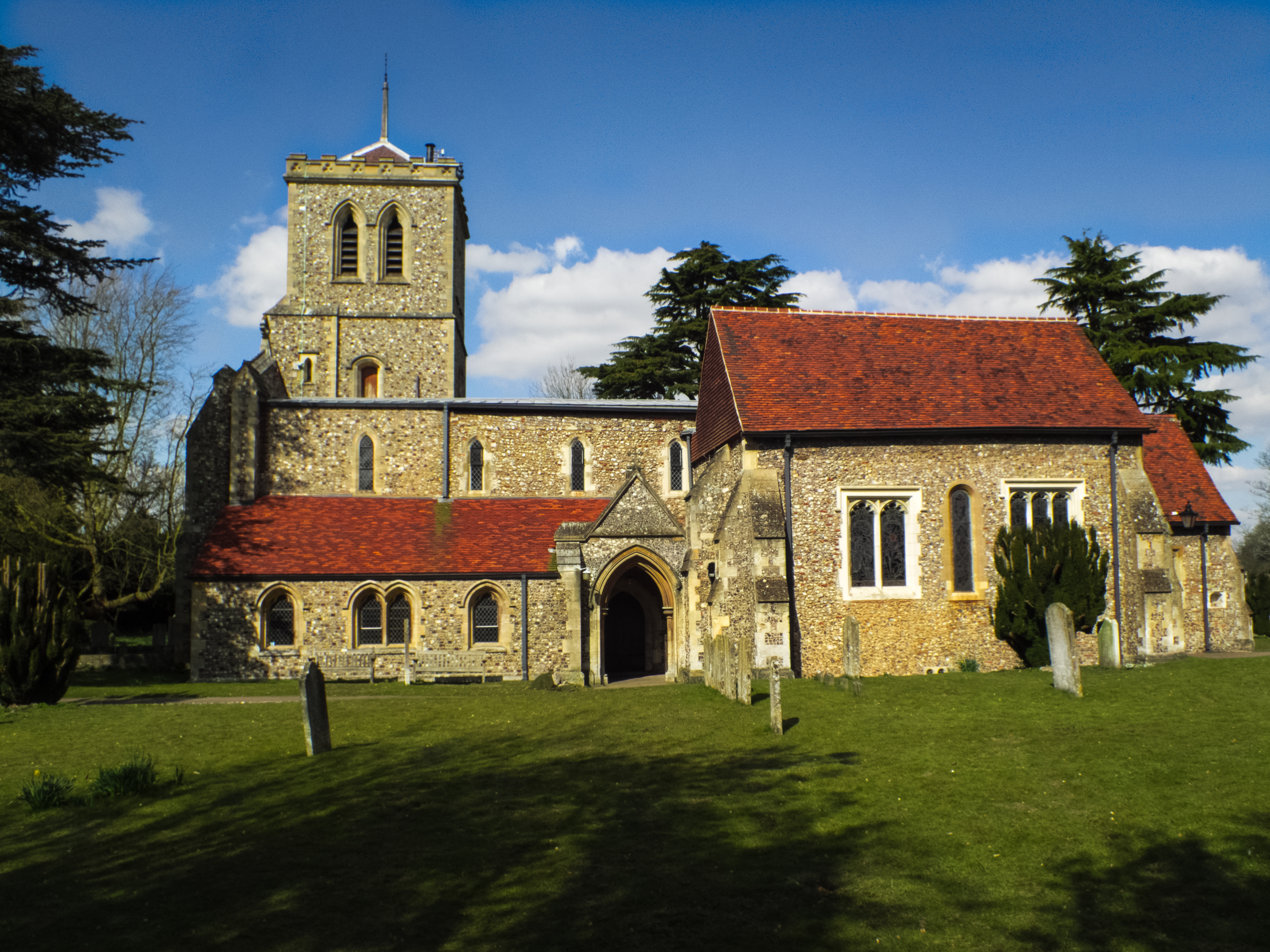
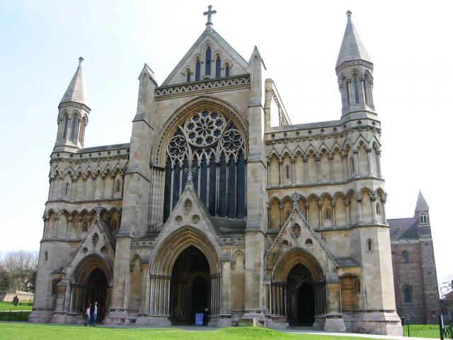
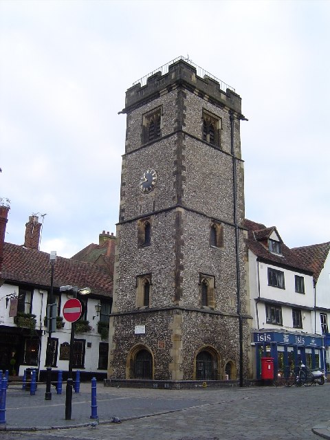
St Michael's Church, St Albans

St Michael's Church is a Church of England parish church in St Albans, Hertfordshire, England. Much of the building is late 10th or early 11th century...
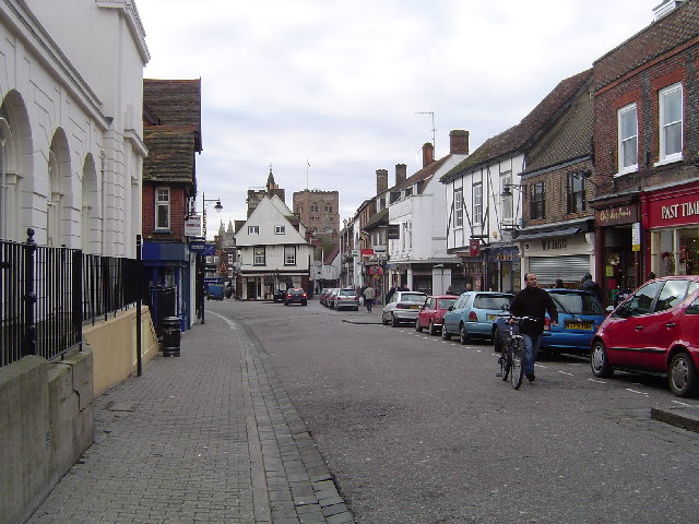
The Six Bells

The Six Bells is a public house in St Michael's Street in St Albans, Hertfordshire, England. The seventeenth-century timber-framed building is situated...

St Michael, Hertfordshire

St Michael is a civil parish in the St Albans district in Hertfordshire, England. The parish is named after but no longer includes St Michael's Church...

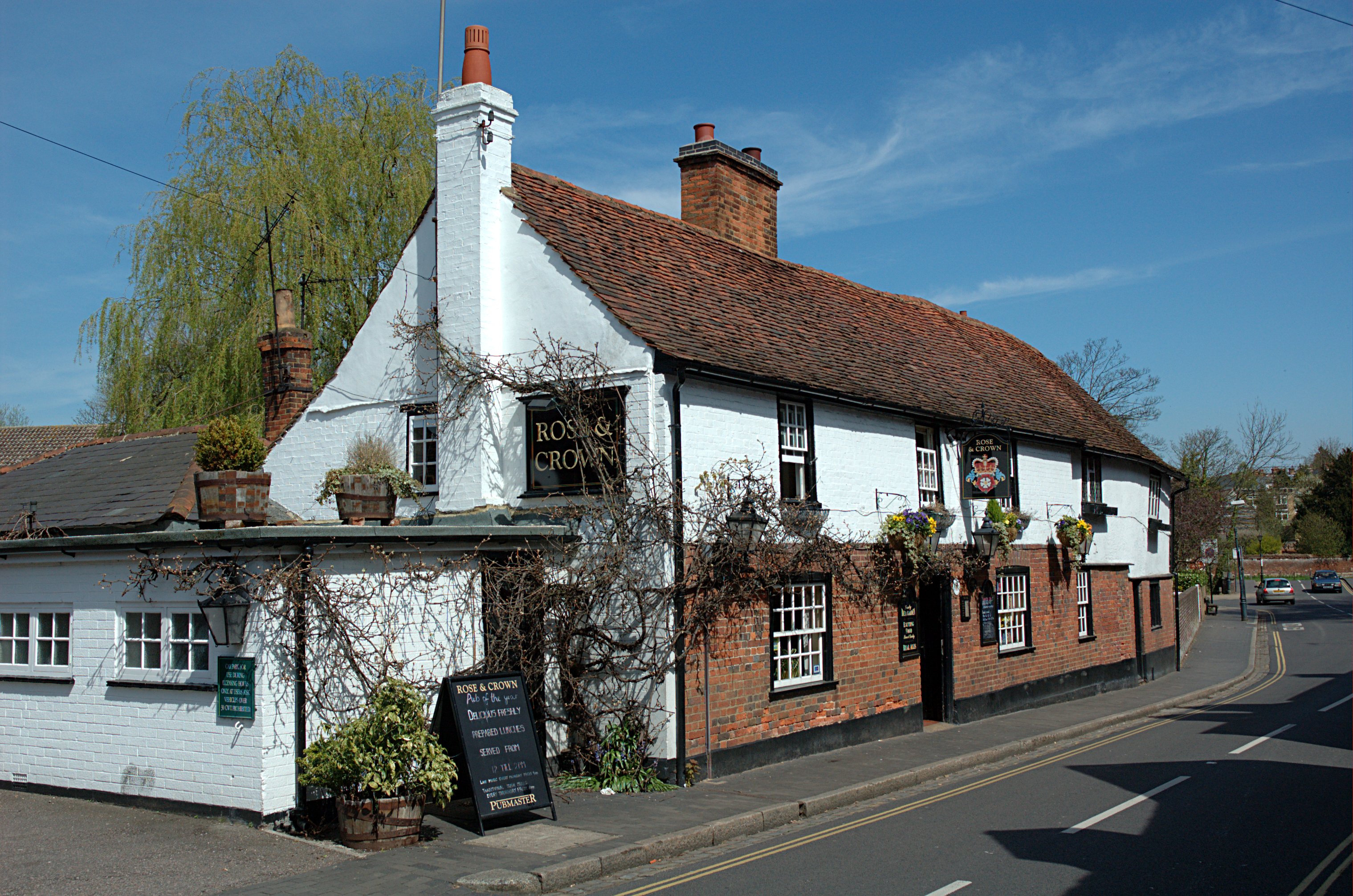
Rose and Crown, St Albans

The Rose and Crown is a public house in St Michael's Street, St Albans, Hertfordshire, England. The building appears to be eighteenth century and is listed...

Verulamium

Verulamium was a town in Roman Britain. It was sited southwest of the modern city of St Albans in Hertfordshire, England. A large portion of the Roman...

Scheduled monuments in Hertfordshire

There are 225 scheduled monuments in the county of Hertfordshire, England. These protected sites date from the Neolithic period and include barrows, ruined...

Kingsbury Watermill

Kingsbury Watermill is a Grade II listed former watermill on the River Ver in St Albans, Hertfordshire, England. == History == There is no certain date...

Nearby Amenities

Located within 500m of 51.753,-0.37
Turning Loop
Lat/Long: 51.7490411/-0.366717
Site of Lord Bacon's Mount
Historic: archaeological_site
Historic Civilization: medieval
Source: https://ancientmonuments.uk/101776-verulamium-bacons-mount-st-michael
Website: https://ancientmonuments.uk/101776-verulamium-bacons-mount-st-michael
Lat/Long: 51.7533791/-0.3739668
The data included in this document is from www.openstreetmap.org. The data is made available under ODbL.

Have you been to The Fosse?

Leave your review of The Fosse below (or comments, questions and feedback).