The Giant's Grave
Heritage Site in Wiltshire
England
The Giant's Grave

The Giant's Grave, located in Wiltshire, is a significant heritage site that holds immense historical and archaeological importance. Situated on the Marlborough Downs, this ancient burial mound is a testament to the rich and diverse history of the region.
The Giant's Grave is a large Neolithic long barrow, dating back to around 3,500 BC, making it one of the oldest man-made structures in Britain. The mound is approximately 100 feet long and is surrounded by a series of ditches and banks, which were likely used for ceremonial purposes. The site gets its name from a local legend that suggests the barrow was the burial site of a giant.
Archaeological excavations at the site have uncovered a wealth of artifacts, including pottery, flint tools, and human remains. The burial chamber within the mound contained several skeletons, indicating that it was used for multiple burials over several centuries. The remains found at the site provide valuable insights into the burial practices and social structure of the Neolithic people who inhabited the area.
Today, the Giant's Grave is a protected heritage site, managed by a local authority. It attracts visitors from all over the world who are fascinated by its ancient history and enigmatic origins. The site offers guided tours, allowing visitors to explore the barrow and learn about its significance. Additionally, there are information boards and displays that provide further context and understanding of the site. The Giant's Grave stands as a remarkable testament to the ancient civilizations that once thrived in Wiltshire and continues to captivate visitors with its mysterious allure.
If you have any feedback on the listing, please let us know in the comments section below.
The Giant's Grave Images
Images are sourced within 2km of 51.487/-1.647 or Grid Reference SU2476. Thanks to Geograph Open Source API. All images are credited.


The Giant's Grave is located at Grid Ref: SU2476 (Lat: 51.487, Lng: -1.647)
Unitary Authority: Wiltshire
Police Authority: Wiltshire
What 3 Words
///flattered.plenty.likes. Near Aldbourne, Wiltshire
Nearby Locations
Related Wikis

Upper Upham
Upper Upham is a hamlet and deserted medieval village in the civil parish of Aldbourne in the English county of Wiltshire. Its nearest town is Marlborough...
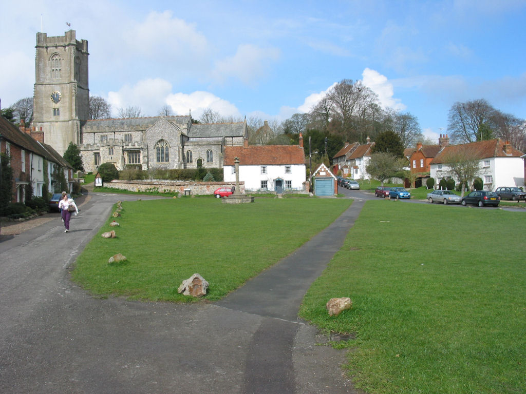
Aldbourne
Aldbourne ( AWLD-born) is a village and civil parish about 6 miles (10 km) north-east of Marlborough, Wiltshire, England, in a valley on the south slope...

Snap, Wiltshire
Snap is an abandoned village near Aldbourne in Wiltshire, England. It is unusual in that it was not abandoned until the 20th century. The village was...

Battle of Aldbourne Chase
The Battle of Aldbourne Chase was a relatively small battle of the First English Civil War that occurred on 18 September 1643. In the skirmish the Royalist...
Woodsend
Woodsend is a hamlet in the civil parish of Aldbourne in Wiltshire, England. Its nearest town is Marlborough, which is approximately 4.5 miles (7.2 km...

Baydon
Baydon is a village and civil parish in Wiltshire, England about 10 miles (16 km) south-east of Swindon. The eastern boundary of the parish forms part...
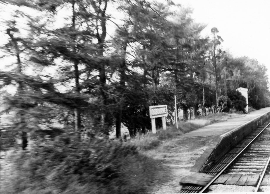
Ogbourne railway station
Ogbourne railway station was on the Midland and South Western Junction Railway in Wiltshire, England. The station opened on 27 July 1881 on the Swindon...

Liddington Castle
Liddington Castle, locally called Liddington Camp, is a late Bronze Age and early Iron Age univallate hillfort in Liddington parish in the English county...
Nearby Amenities
Located within 500m of 51.487,-1.647Have you been to The Giant's Grave?
Leave your review of The Giant's Grave below (or comments, questions and feedback).