Aldbourne
Civil Parish in Wiltshire
England
Aldbourne

Aldbourne is a civil parish located in the county of Wiltshire, England. Situated on the Marlborough Downs, it is part of the North Wessex Downs Area of Outstanding Natural Beauty. The village of Aldbourne itself lies approximately 6 miles northeast of Marlborough and 10 miles west of Hungerford.
With a population of around 1,800 residents, Aldbourne is a small but vibrant community. The village is known for its picturesque thatched cottages, traditional architecture, and charming village green, which has been at the heart of the community for centuries.
Aldbourne boasts a rich history dating back to the Saxon era, and evidence of its ancient past can be seen in the form of earthworks and burial mounds in the surrounding countryside. The village also played a significant role during the English Civil War, with several notable battles fought nearby.
Today, Aldbourne is a thriving rural community with a range of amenities, including a primary school, a village hall, a post office, and several pubs and shops. The village is well-connected, with regular bus services to nearby towns and cities.
The surrounding countryside offers ample opportunities for outdoor activities, including walking, cycling, and horse riding. The area is also renowned for its stunning views, with rolling hills and open farmland stretching as far as the eye can see.
In summary, Aldbourne is a charming and historic village nestled in the beautiful Wiltshire countryside. With its rich heritage, idyllic setting, and strong sense of community, it is a sought-after place to live and visit.
If you have any feedback on the listing, please let us know in the comments section below.
Aldbourne Images
Images are sourced within 2km of 51.484571/-1.651392 or Grid Reference SU2476. Thanks to Geograph Open Source API. All images are credited.


Aldbourne is located at Grid Ref: SU2476 (Lat: 51.484571, Lng: -1.651392)
Unitary Authority: Wiltshire
Police Authority: Wiltshire
What 3 Words
///kennels.internal.immune. Near Aldbourne, Wiltshire
Nearby Locations
Related Wikis

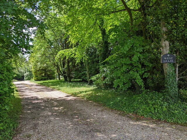
Upper Upham
Upper Upham is a hamlet and deserted medieval village in the civil parish of Aldbourne in the English county of Wiltshire. Its nearest town is Marlborough...

Battle of Aldbourne Chase
The Battle of Aldbourne Chase was a relatively small battle of the First English Civil War that occurred on 18 September 1643. In the skirmish the Royalist...

Snap, Wiltshire
Snap is an abandoned village near Aldbourne in Wiltshire, England. It is unusual in that it was not abandoned until the 20th century. The village was...
Woodsend
Woodsend is a hamlet in the civil parish of Aldbourne in Wiltshire, England. Its nearest town is Marlborough, which is approximately 4.5 miles (7.2 km...
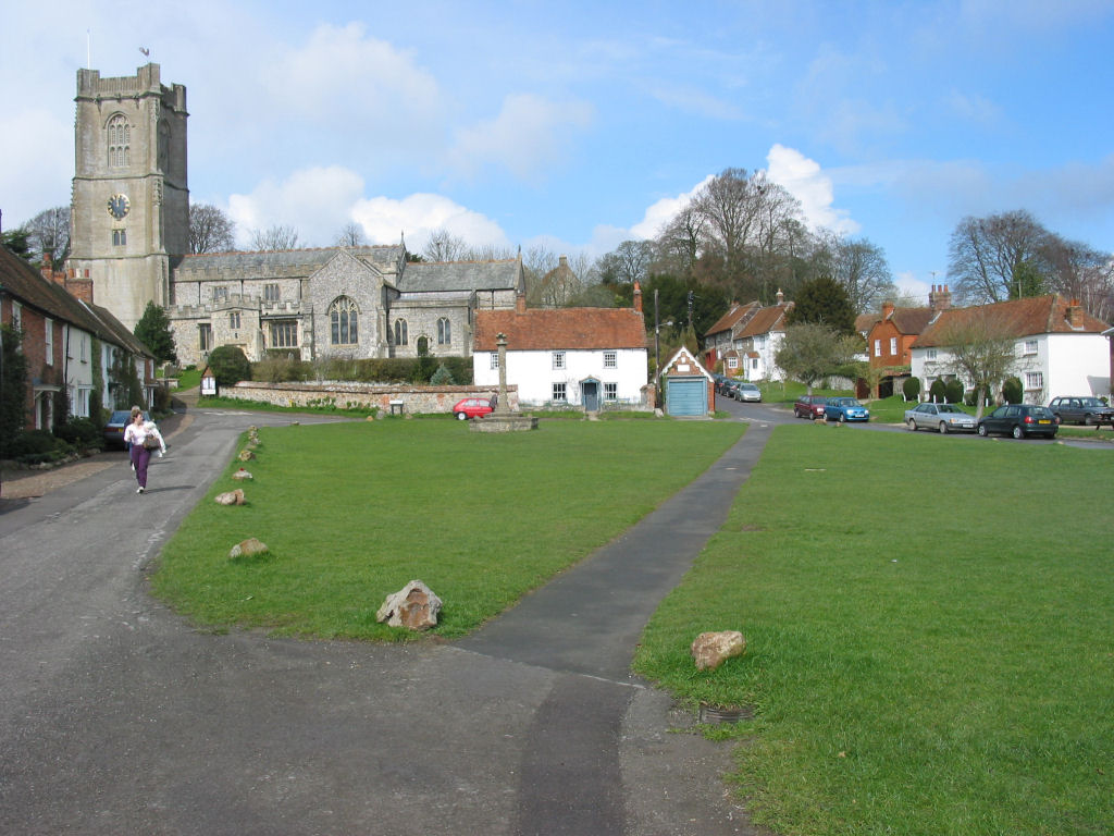
Aldbourne
Aldbourne ( AWLD-born) is a village and civil parish about 6 miles (10 km) north-east of Marlborough, Wiltshire, England, in a valley on the south slope...

Baydon
Baydon is a village and civil parish in Wiltshire, England about 10 miles (16 km) south-east of Swindon. The eastern boundary of the parish forms part...
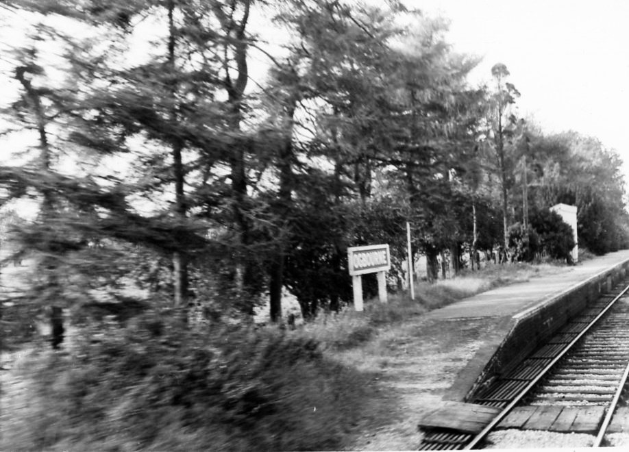
Ogbourne railway station
Ogbourne railway station was on the Midland and South Western Junction Railway in Wiltshire, England. The station opened on 27 July 1881 on the Swindon...

Ogbourne St George
Ogbourne St George is a village and civil parish on the River Og about 3 miles (4.8 km) north of Marlborough, Wiltshire, England. == History == Domesday...
Have you been to Aldbourne?
Leave your review of Aldbourne below (or comments, questions and feedback).