Reekie Strip
Wood, Forest in Aberdeenshire
Scotland
Reekie Strip
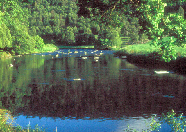
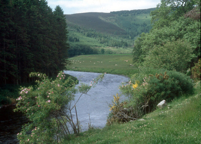
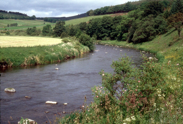
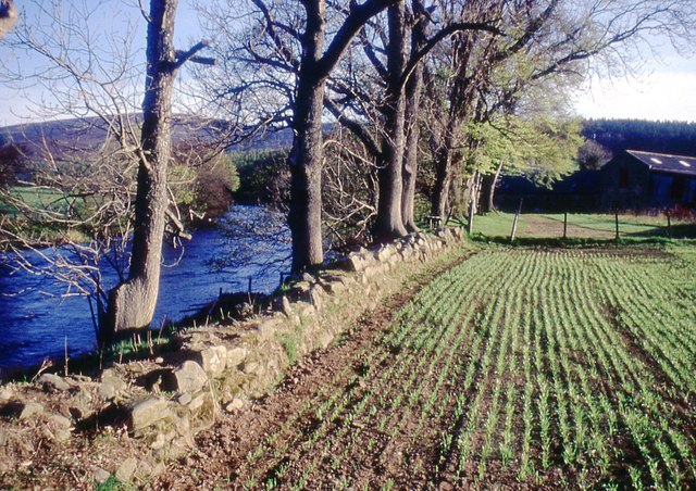
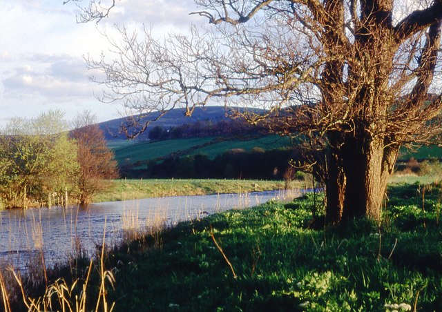
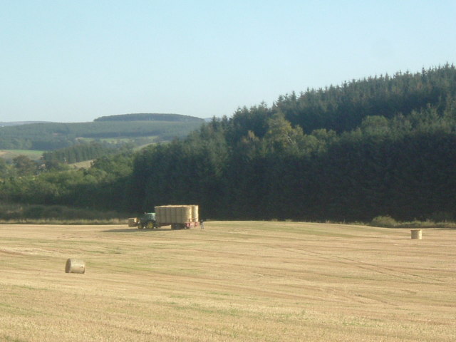
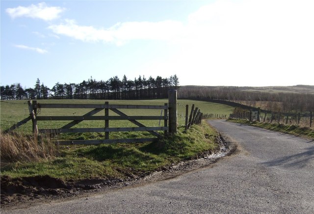
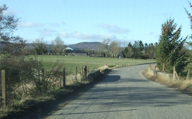
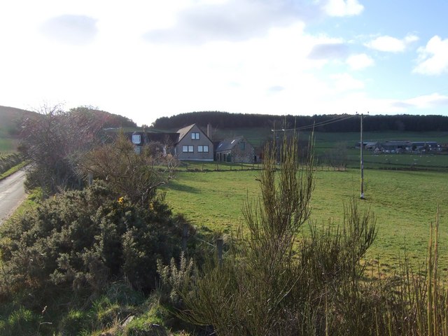
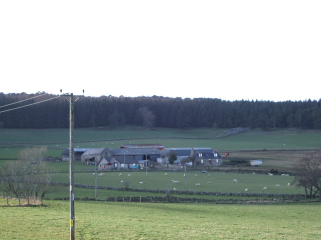
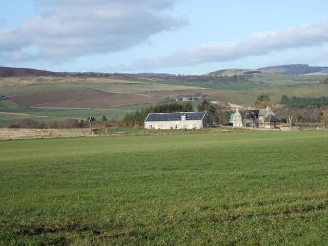
Reekie Strip is a picturesque woodland area located in Aberdeenshire, Scotland. Nestled amidst the stunning landscape of the region, this forested area is a haven for nature enthusiasts and outdoor adventurers. The strip covers a vast expanse of land, encompassing dense forests, towering trees, and meandering trails that wind through the area.
The woodland of Reekie Strip boasts a rich variety of flora and fauna, with several species of trees including oak, birch, and pine. The forest floor is adorned with an array of wildflowers, creating a vibrant and colorful landscape during the spring and summer months. The dense foliage provides a sanctuary for woodland creatures such as deer, foxes, and a diverse range of bird species.
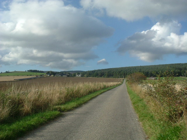
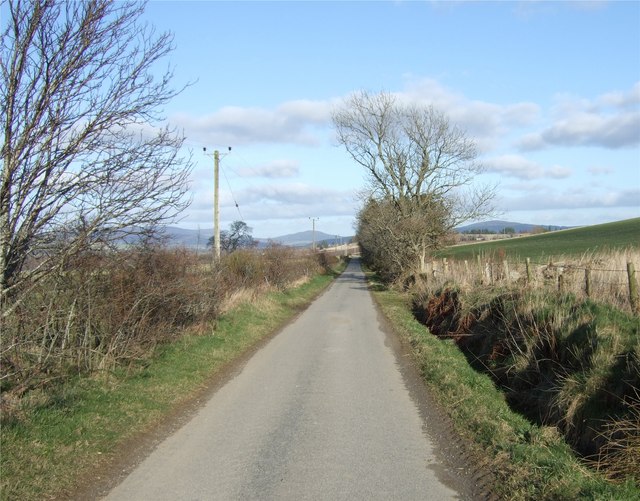
Reekie Strip is a popular destination for hikers, walkers, and nature photographers. The well-maintained trails offer visitors the opportunity to explore the natural beauty of the area at their own pace. The paths meander through the forest, leading to breathtaking viewpoints and hidden gems within the woodland.
The tranquility and serenity of Reekie Strip make it an ideal escape from the hustle and bustle of everyday life. The peacefulness of the forest, combined with the beauty of the surrounding landscape, creates a truly immersive experience for those who visit. Whether it is a leisurely stroll or an adventurous hike, Reekie Strip offers something for everyone, making it a must-visit destination for nature lovers in Aberdeenshire.
If you have any feedback on the listing, please let us know in the comments section below.
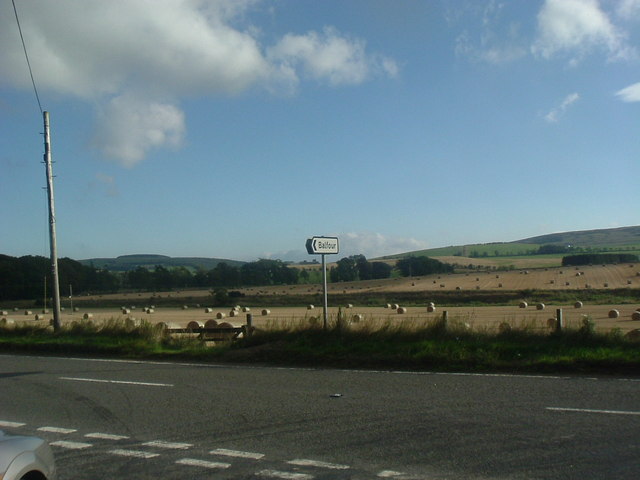
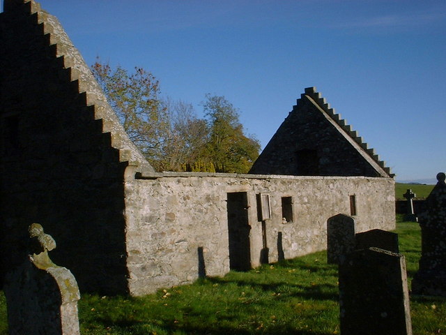
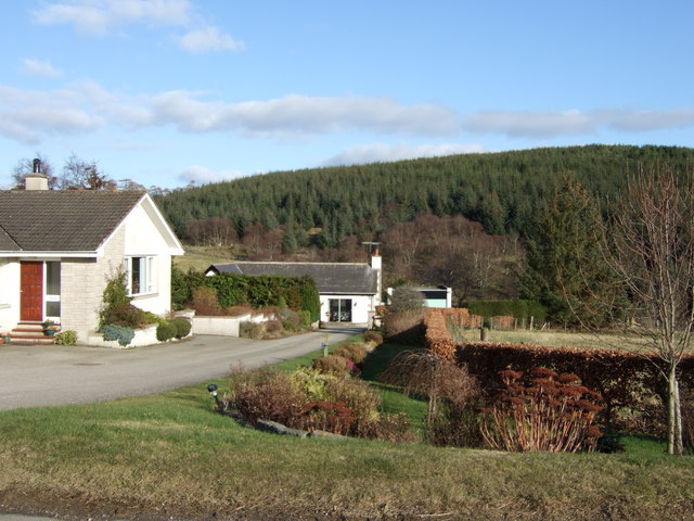
Reekie Strip Images
Images are sourced within 2km of 57.226931/-2.7778078 or Grid Reference NJ5315. Thanks to Geograph Open Source API. All images are credited.

Reekie Strip is located at Grid Ref: NJ5315 (Lat: 57.226931, Lng: -2.7778078)
Unitary Authority: Aberdeenshire
Police Authority: North East
What 3 Words
///recline.began.repeating. Near Alford, Aberdeenshire
Nearby Locations
Related Wikis

Marr, Scotland
Marr (Scottish Gaelic: Màrr) is one of six committee areas in Aberdeenshire, Scotland. It has a population of 34,038 (2001 Census). Someone from Marr...

Asloun Castle
Asloun Castle is a castle, formerly Z-plan, dating from the 16th century, 2 miles (3.2 km) south-west of Alford, in Aberdeenshire, Scotland, of which only...

Bridge of Alford
Bridge of Alford is a village in Aberdeenshire, Scotland.Bridge of Alford is situated near Alford beside the bridge over the River Don. It is on the road...

Battle of Alford
The Battle of Alford was an engagement of the Scottish Civil War. It took place near the village of Alford, Aberdeenshire, on 2 July 1645. During the battle...

Forbes, Aberdeenshire
Forbes is a hamlet by Tullynessle in Aberdeenshire, Scotland. It is connected to Tullynessle 1 3/4 miles from Alford. == See also == Clan Forbes ��2�...
Alford, Aberdeenshire
Alford (pronounced Scots: Aaford or Awfort, Scottish Gaelic: Athfort) is a large village in Aberdeenshire, north-east Scotland, lying just south of...

Alford Academy
Alford Academy is a secondary school in Alford, Aberdeenshire, Scotland. It is a School of Growth Mindsets.Alford Academy is a local authority secondary...
Brux Castle
Brux Castle was a castle of the Forbeses, about 1.5 miles (2.4 km) east of Kildrummy, Aberdeenshire, Scotland, south of the river Don. The castle was...
Nearby Amenities
Located within 500m of 57.226931,-2.7778078Have you been to Reekie Strip?
Leave your review of Reekie Strip below (or comments, questions and feedback).