Weets Wood

Wood, Forest in Angus

Scotland

Weets Wood

Panmure East Gate Lodge South This is the more southerly of a mirror-image pair of gate lodges at the entrance to the main drive to Panmure House. The two lodges and the gate between them are Category B Listed. They were designed by David Bryce and erected in 1852.
Panmure East Gate Lodge South Credit: Anne Burgess

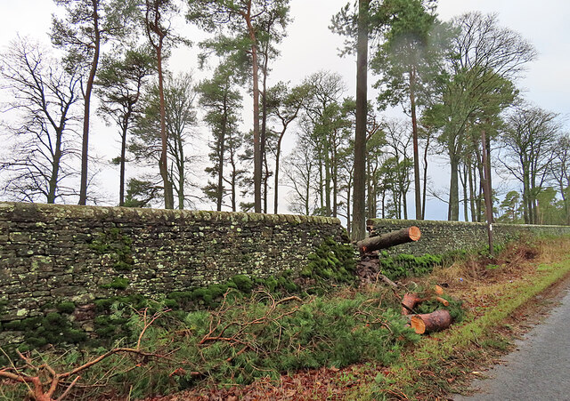
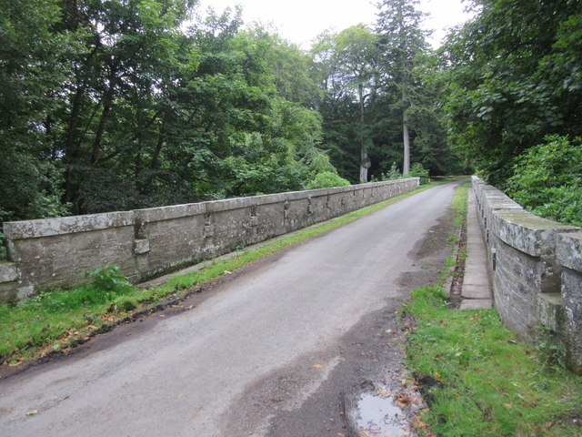
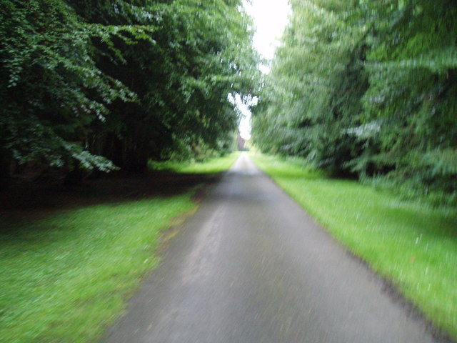
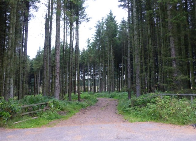
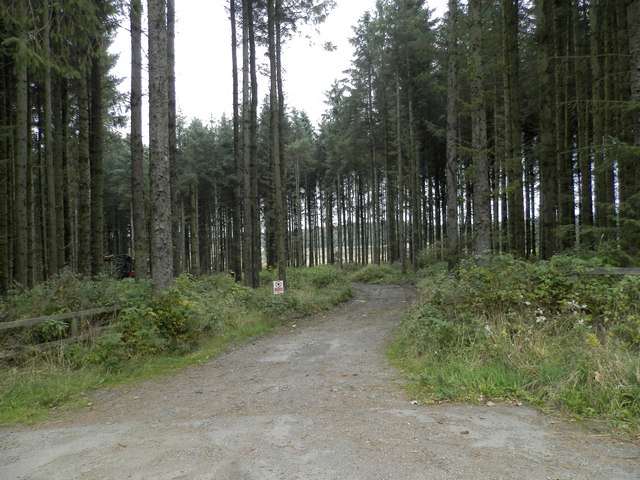
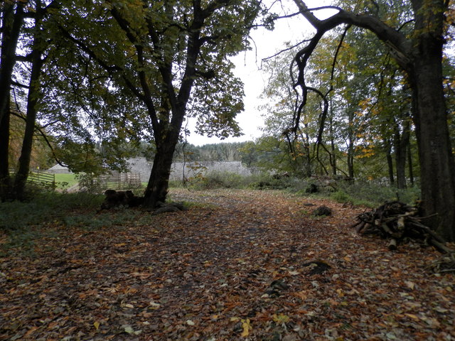
Weets Wood is a dense forest located in Angus, Scotland. Covering an area of approximately 200 acres, it is a significant natural landmark in the region. The woodland is characterized by its diverse range of trees, including oak, birch, rowan, and pine. These trees create a dense canopy that provides shelter and habitat for a variety of wildlife.

The forest is home to numerous species of birds, such as woodpeckers, owls, and thrushes, making it a popular destination for birdwatchers. Additionally, Weets Wood is known for its rich biodiversity, with a variety of mammals, including red squirrels, deer, and foxes, also inhabiting the area.

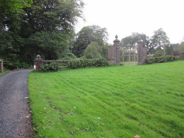
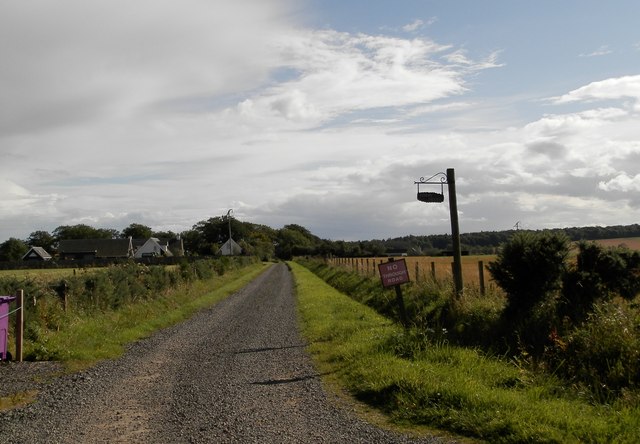
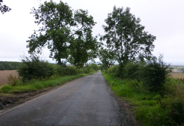
The forest offers a network of well-maintained walking trails, allowing visitors to explore its natural beauty. Walking through Weets Wood, one can encounter picturesque streams, moss-covered boulders, and vibrant wildflowers, creating a serene and peaceful atmosphere.

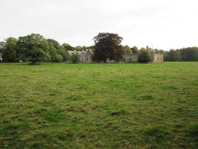
Furthermore, Weets Wood holds historical significance, with evidence of human activity dating back to the Iron Age. Archaeological remains, including ancient settlements and burial sites, have been discovered within the forest, adding to its cultural value.

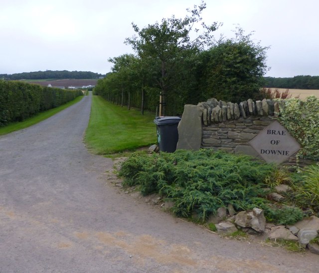
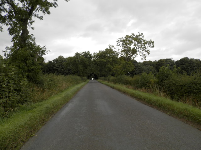
The woodland is easily accessible, located in close proximity to several nearby towns and villages. It attracts a diverse range of visitors, including nature enthusiasts, hikers, and families seeking a tranquil outdoor experience.

Overall, Weets Wood is a cherished natural treasure in Angus, offering a remarkable blend of wildlife, scenic beauty, and historical importance.

If you have any feedback on the listing, please let us know in the comments section below.
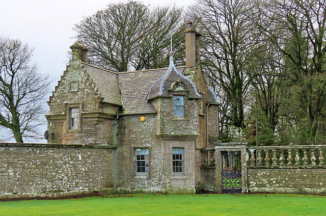
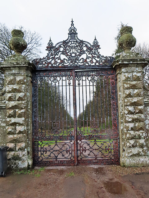
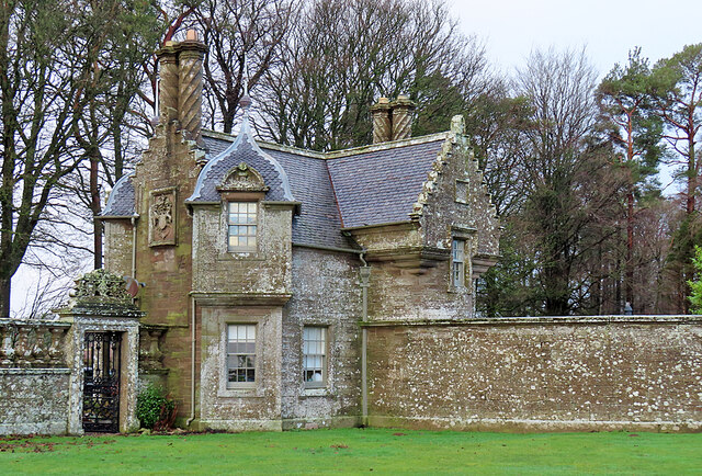
Weets Wood Images

Images are sourced within 2km of 56.52938/-2.7633207 or Grid Reference NO5337. Thanks to Geograph Open Source API. All images are credited.

Panmure East Gate Lodge South This is the more southerly of a mirror-image pair of gate lodges at the entrance to the main drive to Panmure House. The two lodges and the gate between them are Category B Listed. They were designed by David Bryce and erected in 1852.
Panmure East Gate Lodge South
This is the more southerly of a mirror-image pair of gate lodges at the entrance to the main drive to Panmure House. The two lodges and the gate between them are Category B Listed. They were designed by David Bryce and erected in 1852.
Panmure House East Gate The gate stands between a pair of mirror-image gate lodges at the east entrance to Panmure House. The two lodges and the gate between them are Category B Listed. They were designed by David Bryce and erected in 1852.
Panmure House East Gate
The gate stands between a pair of mirror-image gate lodges at the east entrance to Panmure House. The two lodges and the gate between them are Category B Listed. They were designed by David Bryce and erected in 1852.
Panmure East Gate Lodge North This is the more northerly of a mirror-image pair of gate lodges at the entrance to the main drive to Panmure House. The two lodges and the gate between them are Category B Listed. They were designed by David Bryce and erected in 1852.
Panmure East Gate Lodge North
This is the more northerly of a mirror-image pair of gate lodges at the entrance to the main drive to Panmure House. The two lodges and the gate between them are Category B Listed. They were designed by David Bryce and erected in 1852.
Breach in the Dyke A recently fallen tree has caused the dyke surrounding the policies of Panmure House to be breached.
Breach in the Dyke
A recently fallen tree has caused the dyke surrounding the policies of Panmure House to be breached.
Montague Bridge, Panmure Estate This 80ft high bridge over the Monikie Burn dates from 1854, and was designed by the architect, David Bryce.
Montague Bridge, Panmure Estate
This 80ft high bridge over the Monikie Burn dates from 1854, and was designed by the architect, David Bryce.
West Gate, Panmure Estate The Royal Commission on Ancient and Historical Monuments states that these gates date from the late seventeenth century and were possibly designed by Sir William Bruce for the 2nd earl of Panmure.  With the failure of the 1715 Jacobite Uprising, the 4th earl of Panmure supposedly ordered that these gates remain shut until a Stewart monarch returned to the throne.
West Gate, Panmure Estate
The Royal Commission on Ancient and Historical Monuments states that these gates date from the late seventeenth century and were possibly designed by Sir William Bruce for the 2nd earl of Panmure. With the failure of the 1715 Jacobite Uprising, the 4th earl of Panmure supposedly ordered that these gates remain shut until a Stewart monarch returned to the throne.
Former stables and service court, Panmure Estate This former stables and service court on the Panmure Estate were attached to the now demolished Panmure House (1955) and belong to the architectural portfolio of David Bryce (1852).
Former stables and service court, Panmure Estate
This former stables and service court on the Panmure Estate were attached to the now demolished Panmure House (1955) and belong to the architectural portfolio of David Bryce (1852).
Track to Guildy Smithy
Estate drive on Panmure Estate This driveway leads to the Eastern Gates at Panmure.
Estate drive on Panmure Estate
This driveway leads to the Eastern Gates at Panmure.
Drive up to Brae of Downie With the Downie Hills beyond.
Drive up to Brae of Downie
With the Downie Hills beyond.
Stubble and straw bales Below Brae of Downie.
Stubble and straw bales
Below Brae of Downie.
The straight road to Carnoustie With Weet's Wood on the left.
The straight road to Carnoustie
With Weet's Wood on the left.
Track into Guildy Den Wood North east of Camustane Hill.
Track into Guildy Den Wood
North east of Camustane Hill.
Monikie Church Monikie Church is located in the hamlet of Kirkton of Monikie.
<span class="nowrap"><a title="http://www.scottishchurches.org.uk/sites/site/id/1409/name/Monikie+Parish+Church+Monikie+Tayside" rel="nofollow ugc noopener" href="http://www.scottishchurches.org.uk/sites/site/id/1409/name/Monikie+Parish+Church+Monikie+Tayside">Link</a><img style="margin-left:2px;" alt="External link" title="External link - shift click to open in new window" src="https://s1.geograph.org.uk/img/external.png" width="10" height="10"/></span>
Monikie Church
Monikie Church is located in the hamlet of Kirkton of Monikie. LinkExternal link
All is safely gathered in The combine harvester has completed its task.
All is safely gathered in
The combine harvester has completed its task.
Road between Mains of Panmure and Craigton
Forest path in Guildy Den Wood
Woodland track to walled garden at Panmure
Show me another place!

Weets Wood is located at Grid Ref: NO5337 (Lat: 56.52938, Lng: -2.7633207)

Unitary Authority: Angus

Police Authority: Tayside

What 3 Words

///reclusive.clothed.plums. Near Carnoustie, Angus

Nearby Locations

Weets Wood Balmachie Strip

Related Wikis

Camuston

Camuston was a village that once existed in Angus, Scotland until the late 18th/early 19th centuries. No trace of it can be found today, but its former...

Panmure House

Panmure House was a 17th-century country house in the Parish of Panbride, Angus, Scotland, 4 miles (6 km) to the north of Carnoustie. It was the seat of...

Camus Cross

The Camus Cross, otherwise known as the Camuston or Camustane Cross, is an Early Medieval Scottish standing stone on the Panmure Estate near Carnoustie...

Downie Hills

The Downie Hills are a small range of hills in Angus, Scotland, approximately 4 kilometres (2.5 mi) to the North of Carnoustie. At their highest point...

Nearby Amenities

Located within 500m of 56.52938,-2.7633207
Power: pole
Lat/Long: 56.5331909/-2.7592054
Power: pole
Lat/Long: 56.5329286/-2.7602604
The data included in this document is from www.openstreetmap.org. The data is made available under ODbL.

Have you been to Weets Wood?

Leave your review of Weets Wood below (or comments, questions and feedback).