Sterniehall Plantation
Wood, Forest in Berwickshire
Scotland
Sterniehall Plantation
The requested URL returned error: 429 Too Many Requests
If you have any feedback on the listing, please let us know in the comments section below.
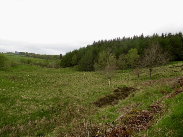
Sterniehall Plantation Images
Images are sourced within 2km of 55.691357/-2.7472876 or Grid Reference NT5344. Thanks to Geograph Open Source API. All images are credited.


Sterniehall Plantation is located at Grid Ref: NT5344 (Lat: 55.691357, Lng: -2.7472876)
Unitary Authority: The Scottish Borders
Police Authority: The Lothians and Scottish Borders
What 3 Words
///improvise.strutting.protest. Near Lauder, Scottish Borders
Nearby Locations
Related Wikis

Whitslaid Tower
Whitslaid Tower was an ancient Berwickshire seat of the Lauder family for over 300 years. It is today a ruin high above the eastern bank of the Leader...

Lauder Town Hall
Lauder Town Hall is a municipal structure in the Market Place in Lauder, Scottish Borders, Scotland. The structure, which is used as the local registrar...

Lauder
The former Royal Burgh of Lauder (, Scottish Gaelic: Labhdar) is a town in the Scottish Borders in the historic county of Berwickshire. On the Southern...

Thirlestane Castle
Thirlestane Castle is a castle set in extensive parklands near Lauder in the Borders of Scotland. The site is aptly named Castle Hill, as it stands upon...
Nearby Amenities
Located within 500m of 55.691357,-2.7472876Have you been to Sterniehall Plantation?
Leave your review of Sterniehall Plantation below (or comments, questions and feedback).