Blainslie, Upper
Settlement in Roxburghshire
Scotland
Blainslie, Upper
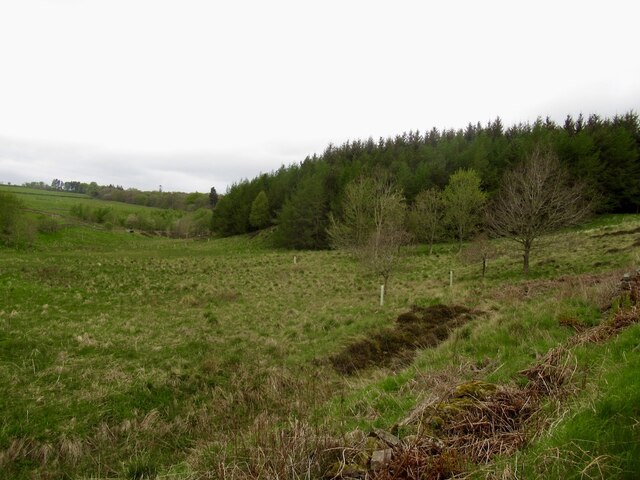
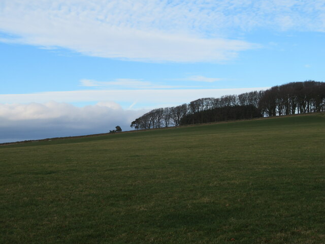
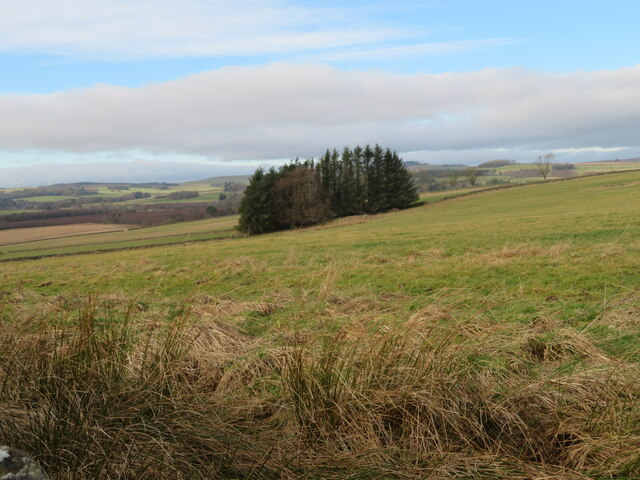
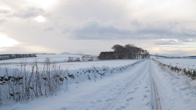
Blainslie is a small village located in the Upper district of Roxburghshire, Scotland. Situated approximately 4 miles southeast of the town of Lauder, Blainslie is nestled in the picturesque Scottish Borders region. The village is surrounded by rolling hills and lush green countryside, offering breathtaking views to its residents and visitors alike.
Blainslie is a close-knit community with a population of around 200 people. The village boasts a charming mixture of traditional stone-built houses and more modern developments, which blend seamlessly into the rural landscape. The local architecture is a testament to the village's rich history and heritage.
Despite its small size, Blainslie offers a range of amenities for its residents. The village has a primary school, providing education for local children, and a community hall that acts as a hub for various social activities and events. Blainslie also has a local pub, which serves as a gathering place for residents and visitors to enjoy a pint and engage in friendly conversation.
The surrounding area of Blainslie provides ample opportunities for outdoor enthusiasts. The village is ideally located for exploring the stunning Scottish Borders countryside, with numerous walking and cycling trails in close proximity. Additionally, the nearby River Tweed offers excellent fishing opportunities for anglers.
Blainslie is well-connected to other areas in Roxburghshire and beyond. The A68 road is easily accessible from the village, providing convenient transportation links to larger towns and cities. The village's peaceful and idyllic setting, combined with its sense of community, makes Blainslie a delightful place to live or visit for those seeking a tranquil retreat in the heart of the Scottish Borders.
If you have any feedback on the listing, please let us know in the comments section below.
Blainslie, Upper Images
Images are sourced within 2km of 55.687186/-2.7491167 or Grid Reference NT5344. Thanks to Geograph Open Source API. All images are credited.


Blainslie, Upper is located at Grid Ref: NT5344 (Lat: 55.687186, Lng: -2.7491167)
Unitary Authority: The Scottish Borders
Police Authority: The Lothians and Scottish Borders
What 3 Words
///grazes.flickers.local. Near Lauder, Scottish Borders
Nearby Locations
Related Wikis

Whitslaid Tower
Whitslaid Tower was an ancient Berwickshire seat of the Lauder family for over 300 years. It is today a ruin high above the eastern bank of the Leader...

Lauder Town Hall
Lauder Town Hall is a municipal structure in the Market Place in Lauder, Scottish Borders, Scotland. The structure, which is used as the local registrar...

Lauder
The former Royal Burgh of Lauder (, Scottish Gaelic: Labhdar) is a town in the Scottish Borders in the historic county of Berwickshire. On the Southern...

Birkenside, Scottish Borders
Birkenside is a village in the Scottish Borders, Scotland.

Thirlestane Castle
Thirlestane Castle is a castle set in extensive parklands near Lauder in the Borders of Scotland. The site is aptly named Castle Hill, as it stands upon...

Lauder railway station
Lauder railway station served the town of Lauder, Berwickshire, Scotland, from 1901 to 1958. It was situated on the Lauder Light Railway. == History... ==

Allanshaws
Allanshaws is a place and farm off the B6362, in Lauderdale, by the Allan Water, in the parish of Melrose in the Scottish Borders area of Scotland, formerly...

Boon Farm
Boon is a farm and former barony located near Lauder, Scotland. == History == === Name origins === Boon (aka "Boune" or "Bounn"), derives from the Breton...
Nearby Amenities
Located within 500m of 55.687186,-2.7491167Have you been to Blainslie, Upper?
Leave your review of Blainslie, Upper below (or comments, questions and feedback).