Craig Hill
Hill, Mountain in Aberdeenshire
Scotland
Craig Hill
Craig Hill is a prominent mountain located in Aberdeenshire, Scotland. Standing at an impressive height of 565 meters (1,854 feet), it is a popular destination for outdoor enthusiasts, hikers, and nature lovers. The hill is situated near the village of Craig, around 10 kilometers south of Montrose.
The landscape of Craig Hill is characterized by its rugged and steep slopes, covered in heather and grass. It offers stunning panoramic views of the surrounding countryside, including the picturesque Grampian Mountains to the west. On clear days, it is even possible to catch a glimpse of the North Sea shimmering in the distance.
The ascent to the summit of Craig Hill is challenging but rewarding. There are several well-marked trails and paths that lead to the top, allowing visitors to explore the diverse flora and fauna along the way. The hill is home to a variety of bird species, including peregrine falcons and kestrels, making it a popular spot for birdwatching.
At the peak, visitors are rewarded with breathtaking vistas of the Aberdeenshire countryside, with rolling hills, lush valleys, and distant towns dotting the landscape. On a clear day, one can see as far as the Cairngorms National Park, which is located further inland.
Craig Hill is not only a natural gem but also holds historical significance. It is said to have been a site of ancient settlements, with remnants of stone circles and other archaeological features found in the surrounding area.
Overall, Craig Hill in Aberdeenshire offers a memorable experience for those seeking outdoor adventure, natural beauty, and a glimpse into Scotland's rich history.
If you have any feedback on the listing, please let us know in the comments section below.
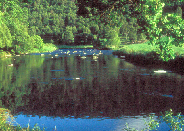
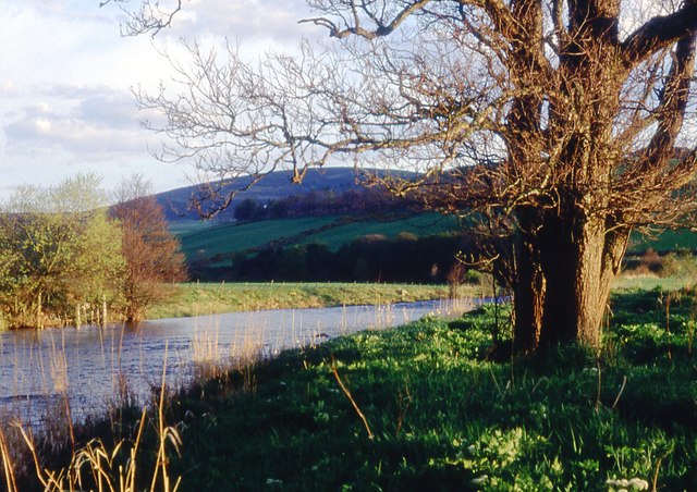
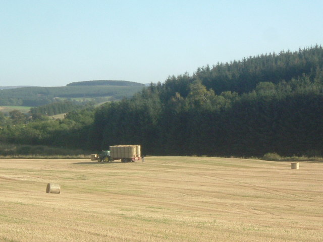
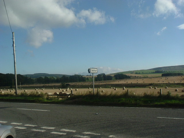
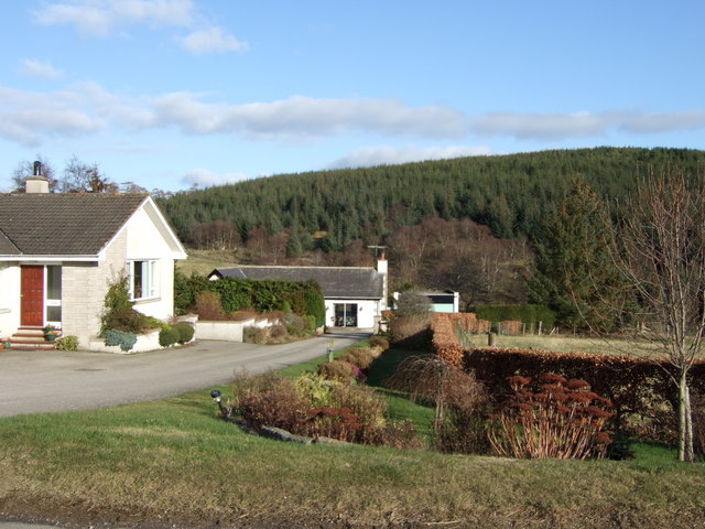
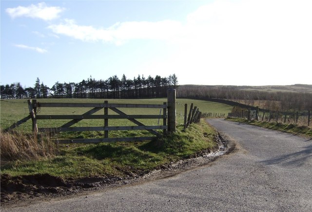
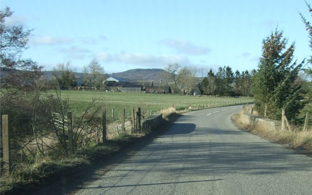
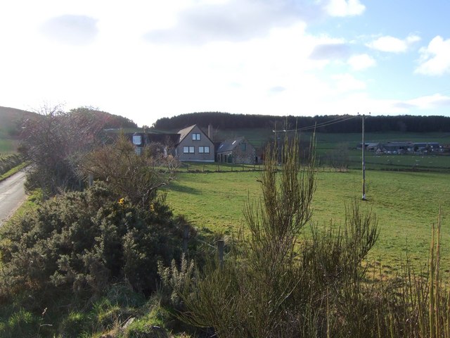
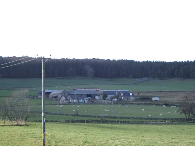
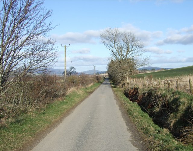
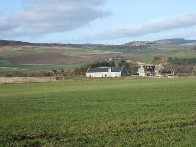
Craig Hill Images
Images are sourced within 2km of 57.224485/-2.7767461 or Grid Reference NJ5315. Thanks to Geograph Open Source API. All images are credited.


![Muir of Alford New housing development seen from the Reekie road. Bennachie is in the distance [NJ6622; 528m]](https://s2.geograph.org.uk/photos/37/43/374390_37267a43.jpg)


Craig Hill is located at Grid Ref: NJ5315 (Lat: 57.224485, Lng: -2.7767461)
Unitary Authority: Aberdeenshire
Police Authority: North East
What 3 Words
///cupboards.forgiving.definite. Near Alford, Aberdeenshire
Nearby Locations
Related Wikis

Marr, Scotland
Marr (Scottish Gaelic: Màrr) is one of six committee areas in Aberdeenshire, Scotland. It has a population of 34,038 (2001 Census). Someone from Marr...

Asloun Castle
Asloun Castle is a castle, formerly Z-plan, dating from the 16th century, 2 miles (3.2 km) south-west of Alford, in Aberdeenshire, Scotland, of which only...

Bridge of Alford
Bridge of Alford is a village in Aberdeenshire, Scotland.Bridge of Alford is situated near Alford beside the bridge over the River Don. It is on the road...

Battle of Alford
The Battle of Alford was an engagement of the Scottish Civil War. It took place near the village of Alford, Aberdeenshire, on 2 July 1645. During the battle...
Nearby Amenities
Located within 500m of 57.224485,-2.7767461Have you been to Craig Hill?
Leave your review of Craig Hill below (or comments, questions and feedback).