Templehall Plantation

Wood, Forest in Roxburghshire

Scotland

Templehall Plantation

A drinking fountain at Midlem Village The fountain has been painted since this photo was taken <a href="https://www.geograph.org.uk/photo/961088">NT5227 : Midlem Village from the well</a>.
A drinking fountain at Midlem Village Credit: Walter Baxter

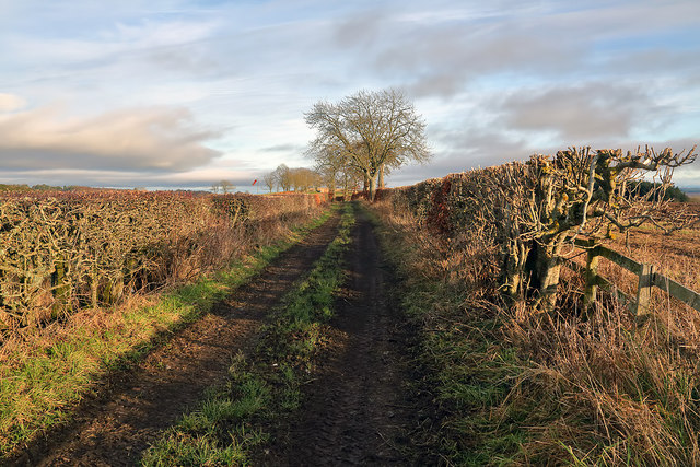
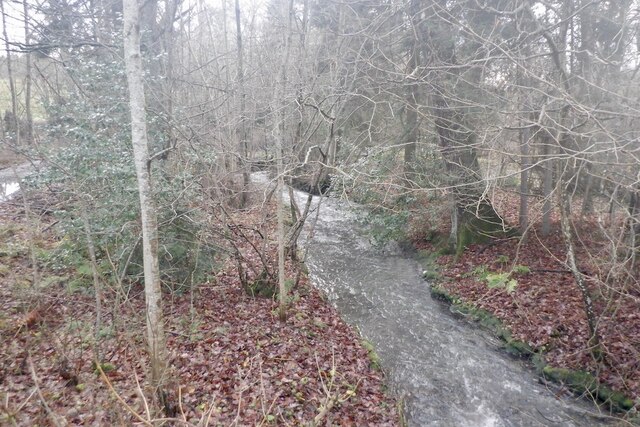
Templehall Plantation is a picturesque woodland located in the county of Roxburghshire, in the Scottish Borders region of Scotland. This expansive forest covers an area of approximately 250 acres and is renowned for its natural beauty and biodiversity.

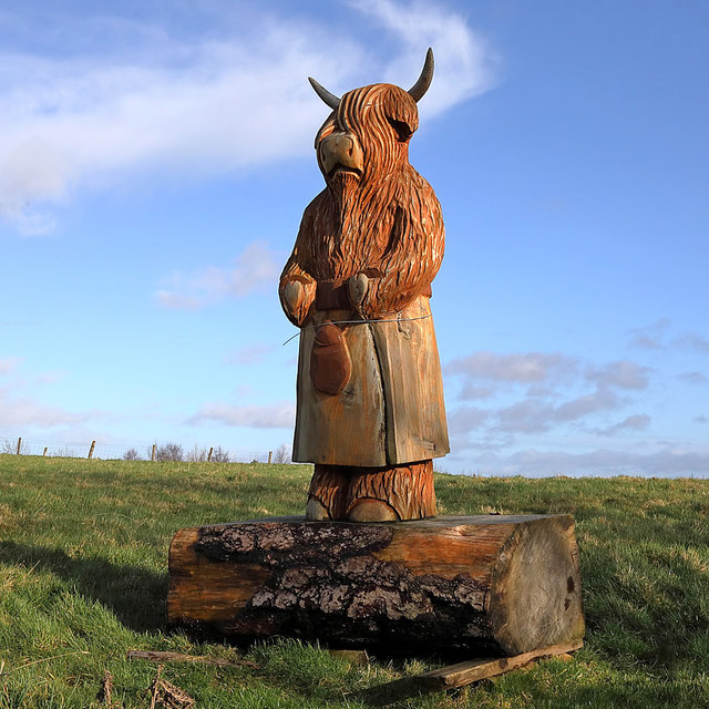
The plantation is predominantly composed of native Scottish tree species, including oak, beech, birch, and pine. These trees create a dense canopy that provides a habitat for a wide range of wildlife, including numerous bird species, squirrels, and deer. The diverse ecosystem also supports a variety of plant life, with ferns, mosses, and wildflowers flourishing beneath the towering trees.

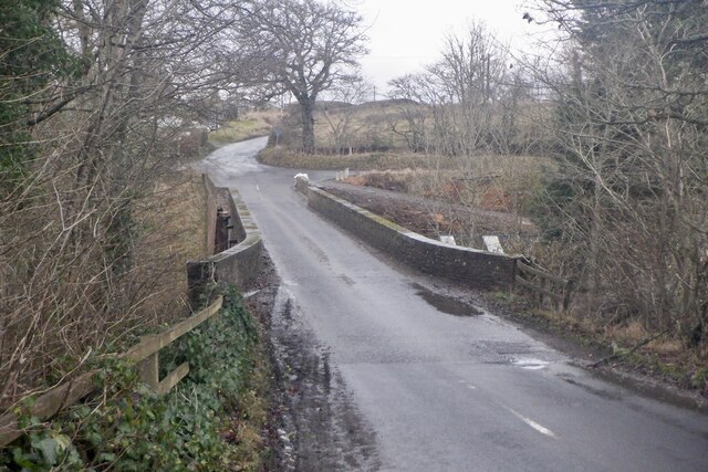
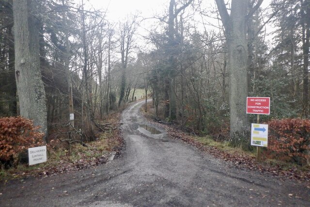
Visitors to Templehall Plantation can explore the woodland through a network of well-maintained walking trails. These trails wind their way through the forest, offering scenic views of the surrounding countryside and providing an opportunity to immerse oneself in nature. The paths are suitable for both leisurely strolls and more challenging hikes, catering to all levels of fitness and ability.

In addition to its natural attractions, Templehall Plantation has historical significance. The area was once home to a 16th-century tower house, which was the seat of the Templehall family. Although the tower house no longer stands, its legacy can still be felt in the plantation, adding an element of intrigue and heritage to the site.

Overall, Templehall Plantation is a haven for nature enthusiasts, offering a tranquil escape from the bustling modern world. Its combination of stunning scenery, diverse wildlife, and rich history make it a must-visit destination for those seeking an authentic Scottish woodland experience.

If you have any feedback on the listing, please let us know in the comments section below.

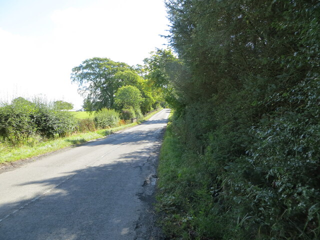
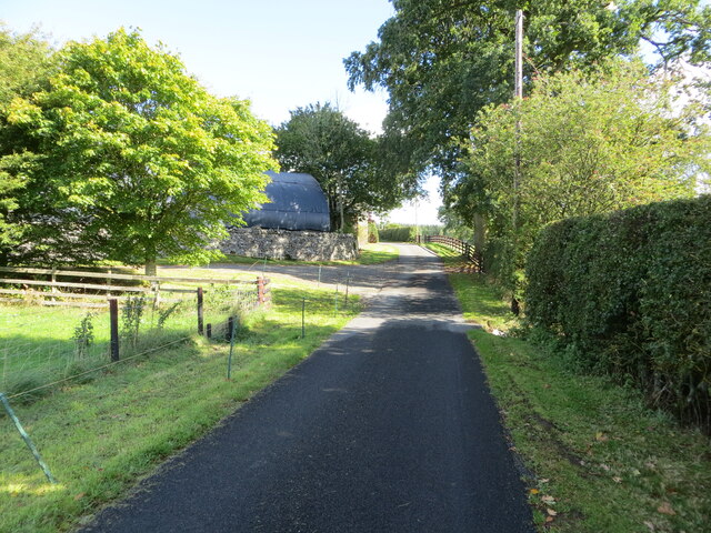
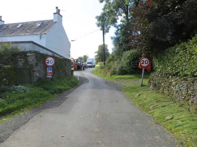
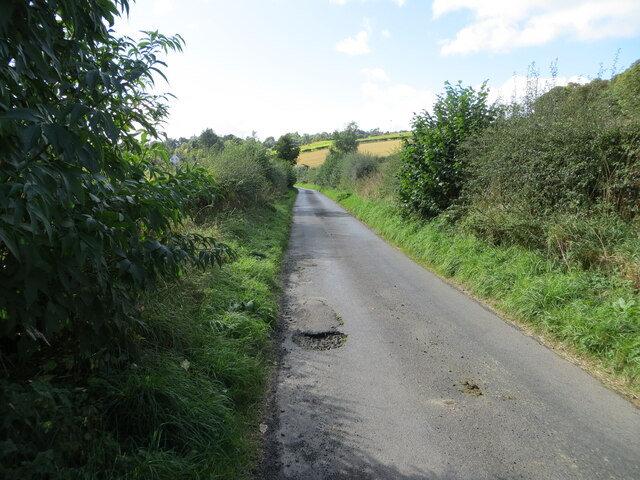
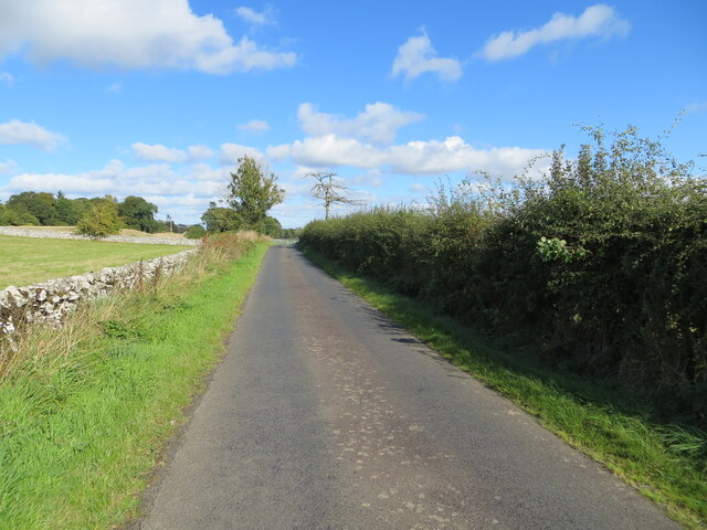
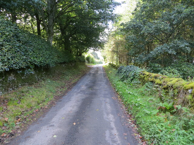
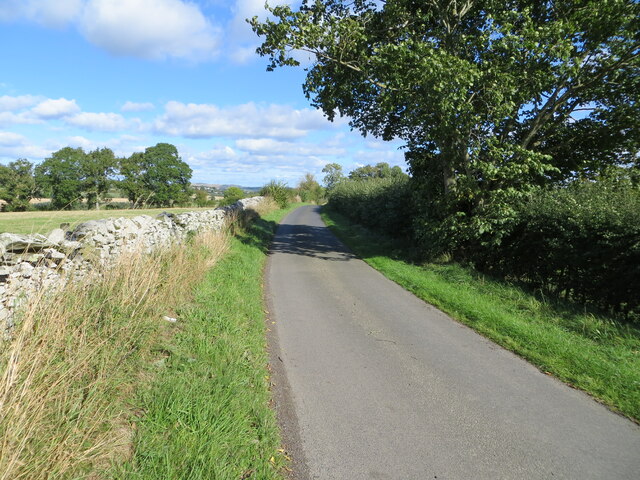
Templehall Plantation Images

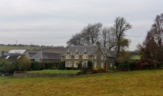
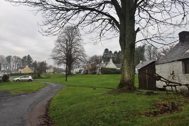
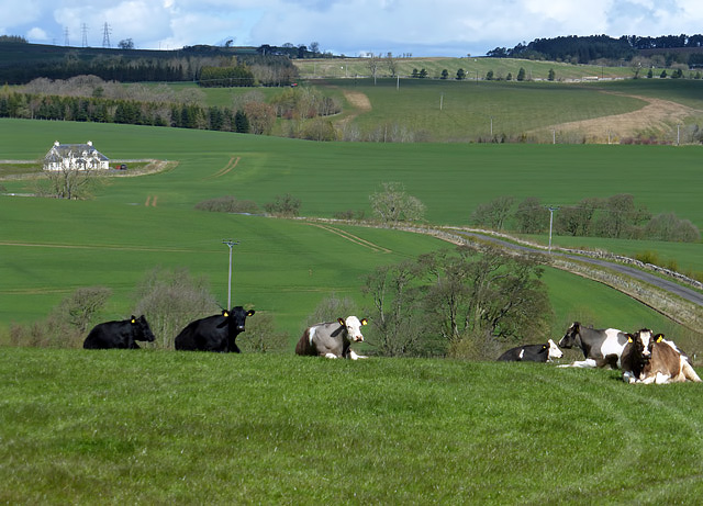
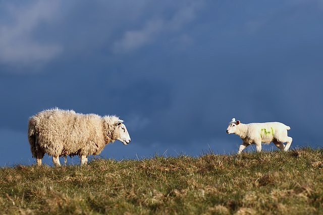
Images are sourced within 2km of 55.542367/-2.7474374 or Grid Reference NT5227. Thanks to Geograph Open Source API. All images are credited.

A drinking fountain at Midlem Village The fountain has been painted since this photo was taken <a href="https://www.geograph.org.uk/photo/961088">NT5227 : Midlem Village from the well</a>.
A drinking fountain at Midlem Village
The fountain has been painted since this photo was taken NT5227 : Midlem Village from the well.
Road (B6453) heading towards Houndshall Looking south-eastward.
Road (B6453) heading towards Houndshall
Looking south-eastward.
Minor road at Hounshall Looking north-eastward.
Minor road at Hounshall
Looking north-eastward.
Minor road about to join the B6453 road in Midlem Looking south-westward.
Minor road about to join the B6453 road in Midlem
Looking south-westward.
Hedge-lined minor road heading towards Midlem Looking south-westward.
Hedge-lined minor road heading towards Midlem
Looking south-westward.
Hedge and wall enclosed minor road between Midlem and Eastfield Looking north-eastward.
Hedge and wall enclosed minor road between Midlem and Eastfield
Looking north-eastward.
Wall and tree enclosed minor road near Eastfield Looking south-westward.
Wall and tree enclosed minor road near Eastfield
Looking south-westward.
Minor road near to Eastfield Looking north-eastward.
Minor road near to Eastfield
Looking north-eastward.
Shawburn, a large farmhouse
Village of Midlem
Village of Midlem
A winter road accident The roads were hazardous in the morning after overnight snow and the driver of this vehicle had the misfortune to leave the A699 road between St Boswells and Selkirk. When I took this photo in the afternoon the road conditions had improved considerably.
A winter road accident
The roads were hazardous in the morning after overnight snow and the driver of this vehicle had the misfortune to leave the A699 road between St Boswells and Selkirk. When I took this photo in the afternoon the road conditions had improved considerably.
Farmland at Eastfield The livestock in the field was viewed from a minor road to Midlem.
Farmland at Eastfield
The livestock in the field was viewed from a minor road to Midlem.
A ewe with lamb at Kippilaw This evening view was taken against a threatening sky.
A ewe with lamb at Kippilaw
This evening view was taken against a threatening sky.
A farm track at Midlem This track is on the east side of the village. A windsock for Midlem Airfield is in the distance centre left. For a closer view see <a href="https://www.geograph.org.uk/photo/2454139">NT5327 : A windsock at Midlem Airfield</a>.
A farm track at Midlem
This track is on the east side of the village. A windsock for Midlem Airfield is in the distance centre left. For a closer view see NT5327 : A windsock at Midlem Airfield.
A wooden sculpture at Midlem This splendid chainsaw-carved wooden sculpture of a heilan coo wearing a kilt stands in a prominent position at the edge of a grazing field overlooking the B6453 on the west side of the village.
A wooden sculpture at Midlem
This splendid chainsaw-carved wooden sculpture of a heilan coo wearing a kilt stands in a prominent position at the edge of a grazing field overlooking the B6453 on the west side of the village.
Bridge, Midlem Mill
Bridge, Midlem Mill
Road into Linthill
Road into Linthill
Midlem Burn
Midlem Burn
Show me another place!

Templehall Plantation is located at Grid Ref: NT5227 (Lat: 55.542367, Lng: -2.7474374)

Unitary Authority: The Scottish Borders

Police Authority: The Lothians and Scottish Borders

What 3 Words

///perfume.perused.winks. Near Selkirk, Scottish Borders

Related Wikis

Lothian and Borders

Lothian and Borders is an area in Scotland consisting of the East Lothian, City of Edinburgh, Midlothian, West Lothian council areas (collectively known...

Castle Holydean

Holydean Castle (pronounced "hollydeen") was a castle sited near Melrose in Bowden, 1.25 miles SW of the village, in the Scottish Borders region of Scotland...

Lilliesleaf

Lilliesleaf is a small village and civil parish 7 miles (11 km) south east of Selkirk in the Roxburghshire area of Scottish Borders of Scotland. Other...

Selkirk transmitting station

The Selkirk transmitting station is a telecommunications facility located next to Lindean Loch, near Selkirk in the Scottish Borders. It includes a 229...

Nearby Amenities

Located within 500m of 55.542367,-2.7474374
Midlem
Place: village
Lat/Long: 55.5384433/-2.7503284
Post Box
Post Box Type: wall
Royal Cypher: GR
Royal Cypher Wikidata: Q33102273
Lat/Long: 55.5385709/-2.749983
Telephone
Booth: K6
Covered: booth
Listed Status: Category B
Lat/Long: 55.5385281/-2.7499414
Noexit: yes
Lat/Long: 55.5387724/-2.7488493
Noexit: yes
Lat/Long: 55.5397645/-2.7490794
The data included in this document is from www.openstreetmap.org. The data is made available under ODbL.

Have you been to Templehall Plantation?

Leave your review of Templehall Plantation below (or comments, questions and feedback).