Midlem

Settlement in Roxburghshire

Scotland

Midlem

A drinking fountain at Midlem Village The fountain has been painted since this photo was taken <a href="https://www.geograph.org.uk/photo/961088">NT5227 : Midlem Village from the well</a>.
A drinking fountain at Midlem Village Credit: Walter Baxter

Midlem is a small village located in the historic county of Roxburghshire, Scotland. Situated in the southeastern part of the country, it lies along the B6400 road, approximately 7 miles southeast of the town of Selkirk. With a population of around 200 residents, Midlem is a close-knit community characterized by its picturesque rural setting and peaceful atmosphere.

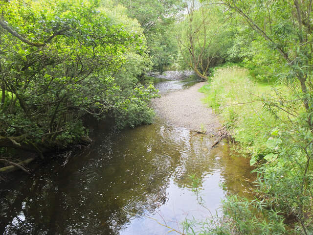
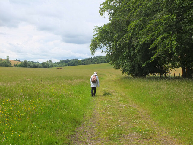
The village is surrounded by rolling hills and lush greenery, offering beautiful views of the Scottish Borders countryside. Agriculture plays a significant role in the local economy, with fields of crops and grazing livestock being a common sight. Midlem also benefits from its proximity to the scenic River Tweed, which flows nearby and is renowned for its salmon fishing.

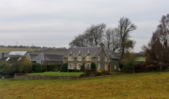
Historically, Midlem has been a rural farming community, and evidence of its past can be seen in the charming traditional cottages and farm buildings that dot the village. The village church, known as Midlem Parish Church, is a prominent feature, serving as a focal point for local worship and community gatherings.

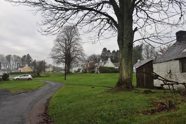
While Midlem may be small, it boasts a strong sense of community spirit and offers various amenities for its residents. These include a village hall, which serves as a venue for social events and meetings, and a playground for children. The village is also well-connected to nearby towns and cities, with regular bus services providing transportation options for residents.

Overall, Midlem is a tranquil and scenic village that offers a peaceful retreat for those seeking a slower pace of life amidst the stunning Scottish countryside.

If you have any feedback on the listing, please let us know in the comments section below.
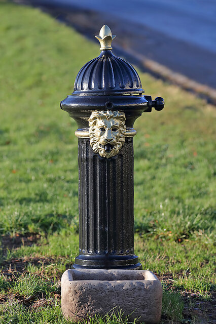
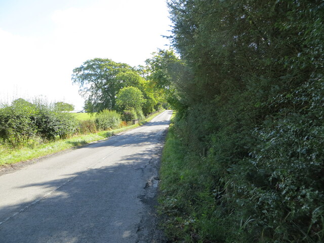
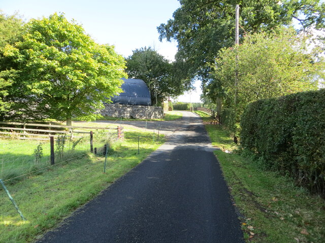
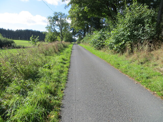
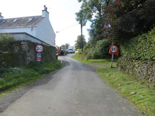
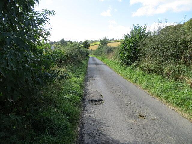
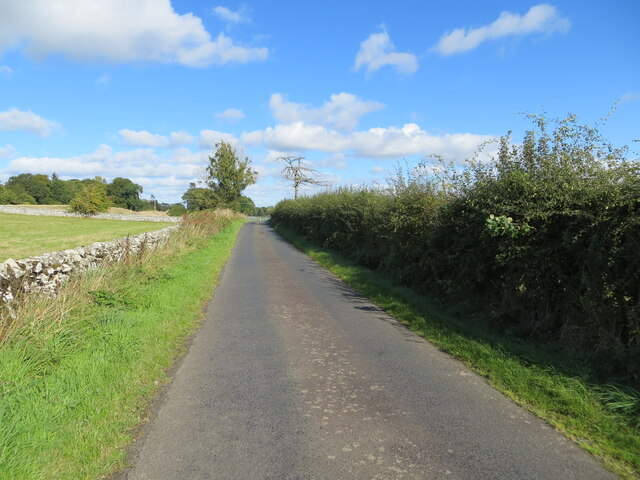
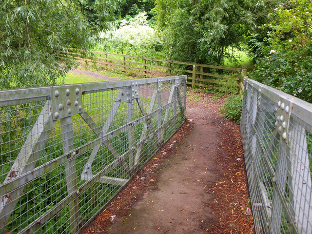
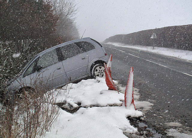
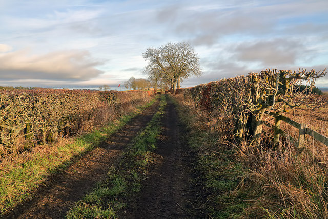
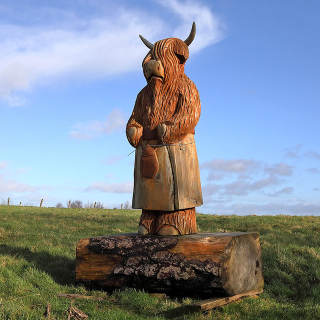
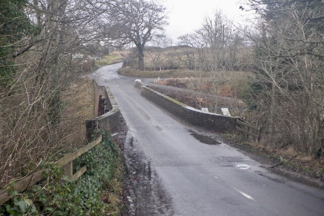
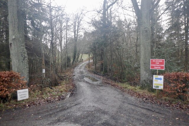
Midlem Images

Images are sourced within 2km of 55.538318/-2.74988 or Grid Reference NT5227. Thanks to Geograph Open Source API. All images are credited.

A drinking fountain at Midlem Village The fountain has been painted since this photo was taken <a href="https://www.geograph.org.uk/photo/961088">NT5227 : Midlem Village from the well</a>.
A drinking fountain at Midlem Village
The fountain has been painted since this photo was taken NT5227 : Midlem Village from the well.
Road (B6453) heading towards Houndshall Looking south-eastward.
Road (B6453) heading towards Houndshall
Looking south-eastward.
Minor road at Hounshall Looking north-eastward.
Minor road at Hounshall
Looking north-eastward.
Minor road heading towards Whitmuir Looking south-westward.
Minor road heading towards Whitmuir
Looking south-westward.
Minor road about to join the B6453 road in Midlem Looking south-westward.
Minor road about to join the B6453 road in Midlem
Looking south-westward.
Hedge-lined minor road heading towards Midlem Looking south-westward.
Hedge-lined minor road heading towards Midlem
Looking south-westward.
Hedge and wall enclosed minor road between Midlem and Eastfield Looking north-eastward.
Hedge and wall enclosed minor road between Midlem and Eastfield
Looking north-eastward.
Ale Water at Lilliesleaf Looking upstream from the Jubilee footbridge.
Ale Water at Lilliesleaf
Looking upstream from the Jubilee footbridge.
Jubilee Bridge, Lilliesleaf The bridge carries a path over the Ale Water with access westwards to a field track to Riddell or eastwards to meet the B6453 road to Midlem.
Jubilee Bridge, Lilliesleaf
The bridge carries a path over the Ale Water with access westwards to a field track to Riddell or eastwards to meet the B6453 road to Midlem.
Field track to Riddell A track through farmland to the estate at Riddell. Compare with <a href="https://www.geograph.org.uk/photo/3035817">NT5325 : Field track, Lilliesleaf</a> taken here on my previous visit in the soggy July of 2012.
Field track to Riddell
A track through farmland to the estate at Riddell. Compare with NT5325 : Field track, Lilliesleaf taken here on my previous visit in the soggy July of 2012.
Shawburn, a large farmhouse
Village of Midlem
Village of Midlem
A winter road accident The roads were hazardous in the morning after overnight snow and the driver of this vehicle had the misfortune to leave the A699 road between St Boswells and Selkirk. When I took this photo in the afternoon the road conditions had improved considerably.
A winter road accident
The roads were hazardous in the morning after overnight snow and the driver of this vehicle had the misfortune to leave the A699 road between St Boswells and Selkirk. When I took this photo in the afternoon the road conditions had improved considerably.
A farm track at Midlem This track is on the east side of the village. A windsock for Midlem Airfield is in the distance centre left. For a closer view see <a href="https://www.geograph.org.uk/photo/2454139">NT5327 : A windsock at Midlem Airfield</a>.
A farm track at Midlem
This track is on the east side of the village. A windsock for Midlem Airfield is in the distance centre left. For a closer view see NT5327 : A windsock at Midlem Airfield.
Ale Water Ford This ford on Ale Water is found at Easter Lilliesleaf.
Ale Water Ford
This ford on Ale Water is found at Easter Lilliesleaf.
A wooden sculpture at Midlem This splendid chainsaw-carved wooden sculpture of a heilan coo wearing a kilt stands in a prominent position at the edge of a grazing field overlooking the B6453 on the west side of the village.
A wooden sculpture at Midlem
This splendid chainsaw-carved wooden sculpture of a heilan coo wearing a kilt stands in a prominent position at the edge of a grazing field overlooking the B6453 on the west side of the village.
Bridge, Midlem Mill
Bridge, Midlem Mill
Road into Linthill
Road into Linthill
Show me another place!

Midlem is located at Grid Ref: NT5227 (Lat: 55.538318, Lng: -2.74988)

Unitary Authority: The Scottish Borders

Police Authority: The Lothians and Scottish Borders

What 3 Words

///bogus.rollover.marriage. Near Selkirk, Scottish Borders

Related Wikis

Lothian and Borders

Lothian and Borders is an area in Scotland consisting of the East Lothian, City of Edinburgh, Midlothian, West Lothian council areas (collectively known...

Lilliesleaf

Lilliesleaf is a small village and civil parish 7 miles (11 km) south east of Selkirk in the Roxburghshire area of Scottish Borders of Scotland. Other...

Castle Holydean

Holydean Castle (pronounced "hollydeen") was a castle sited near Melrose in Bowden, 1.25 miles SW of the village, in the Scottish Borders region of Scotland...

Selkirk transmitting station

The Selkirk transmitting station is a telecommunications facility located next to Lindean Loch, near Selkirk in the Scottish Borders. It includes a 229...

Nearby Amenities

Located within 500m of 55.538318,-2.74988
Midlem
Place: village
Lat/Long: 55.5384433/-2.7503284
Post Box
Post Box Type: wall
Royal Cypher: GR
Royal Cypher Wikidata: Q33102273
Lat/Long: 55.5385709/-2.749983
Telephone
Booth: K6
Covered: booth
Listed Status: Category B
Lat/Long: 55.5385281/-2.7499414
Natural: peak
Lat/Long: 55.5361995/-2.7564684
Noexit: yes
Lat/Long: 55.5367034/-2.7532894
Noexit: yes
Lat/Long: 55.5367205/-2.7526587
Noexit: yes
Lat/Long: 55.5377675/-2.7552997
Noexit: yes
Lat/Long: 55.5387724/-2.7488493
Noexit: yes
Lat/Long: 55.5397645/-2.7490794
Midlemburn
Place: hamlet
Lat/Long: 55.5345096/-2.7506061
Braidwood
Place: hamlet
Lat/Long: 55.5402065/-2.7563669
Barrier: kissing_gate
Lat/Long: 55.5349352/-2.750536
Barrier: kissing_gate
Lat/Long: 55.5364967/-2.7524543
Noexit: yes
Lat/Long: 55.5381249/-2.7533819
Power: pole
Lat/Long: 55.5347241/-2.7459143
Power: pole
Lat/Long: 55.5356329/-2.746945
Power: pole
Lat/Long: 55.5355407/-2.7475991
Power: pole
Lat/Long: 55.5354385/-2.748187
Power: pole
Lat/Long: 55.5353261/-2.7488666
Power: pole
Lat/Long: 55.5350338/-2.7497268
Power: pole
Lat/Long: 55.5347227/-2.7506023
Power: pole
Lat/Long: 55.5343799/-2.7516865
Power: pole
Lat/Long: 55.5349502/-2.7525671
Power: pole
Lat/Long: 55.5354471/-2.753323
Power: pole
Lat/Long: 55.5358993/-2.7540102
Power: pole
Lat/Long: 55.5363329/-2.7546643
Power: pole
Lat/Long: 55.5369435/-2.755606
Power: pole
Lat/Long: 55.5374303/-2.7563568
Power: pole
Lat/Long: 55.5378523/-2.7569752
Power: pole
Lat/Long: 55.5382627/-2.7573672
The data included in this document is from www.openstreetmap.org. The data is made available under ODbL.

Have you been to Midlem?

Leave your review of Midlem below (or comments, questions and feedback).