Braid Hill

Hill, Mountain in Roxburghshire

Scotland

Braid Hill

Wax cap fungi in Clarilawmuir Plantation
Wax cap fungi in Clarilawmuir Plantation Credit: Walter Baxter

Braid Hill is a prominent hill located in the historic county of Roxburghshire in the Scottish Borders region of Scotland. Standing at an elevation of 455 meters (1,493 feet), it is one of the notable peaks in the area, offering breathtaking views of the surrounding countryside.

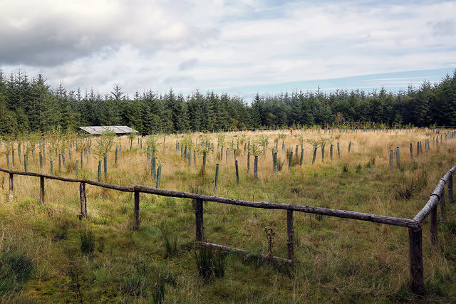
Located about 8 kilometers (5 miles) southwest of the town of Selkirk, Braid Hill is part of the Southern Uplands range, known for its undulating hills and picturesque landscapes. The hill is characterized by its gently sloping grassy sides, which are dotted with heather and wildflowers in the summer months.

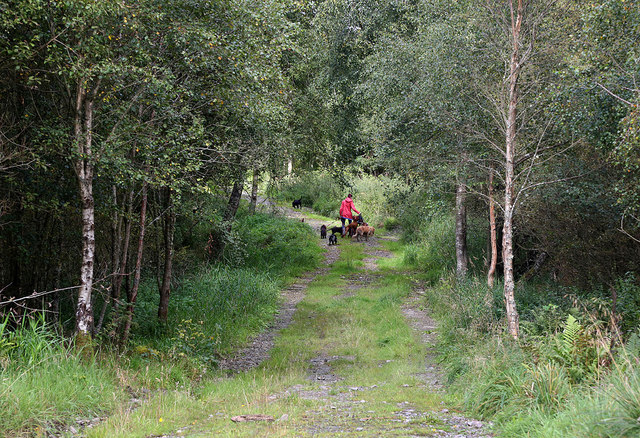
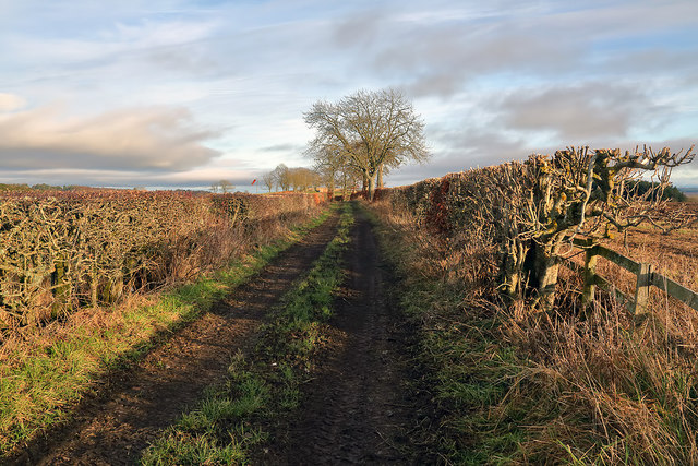
Due to its accessibility and relatively moderate climb, Braid Hill is a popular destination for outdoor enthusiasts, hikers, and nature lovers. The hill is crisscrossed with several well-maintained trails, which cater to various fitness levels and preferences. These paths allow visitors to explore the hill at their own pace, taking in the stunning vistas and enjoying the tranquility of the countryside.

Aside from its natural beauty, Braid Hill also holds historical significance. The remains of an Iron Age hillfort can be found on its slopes, hinting at its ancient past and adding an element of intrigue to the area.

Overall, Braid Hill offers an excellent opportunity to experience the Scottish Borders countryside, allowing visitors to immerse themselves in the region's natural splendor and connect with its rich history.

If you have any feedback on the listing, please let us know in the comments section below.
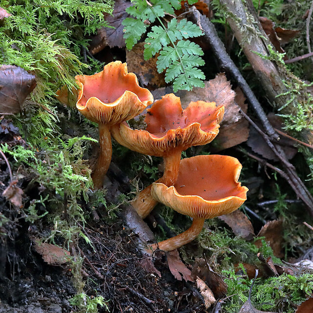
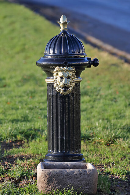
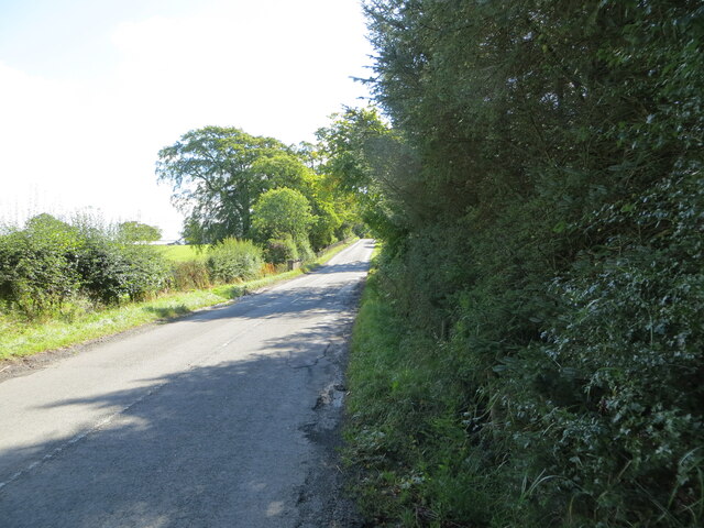
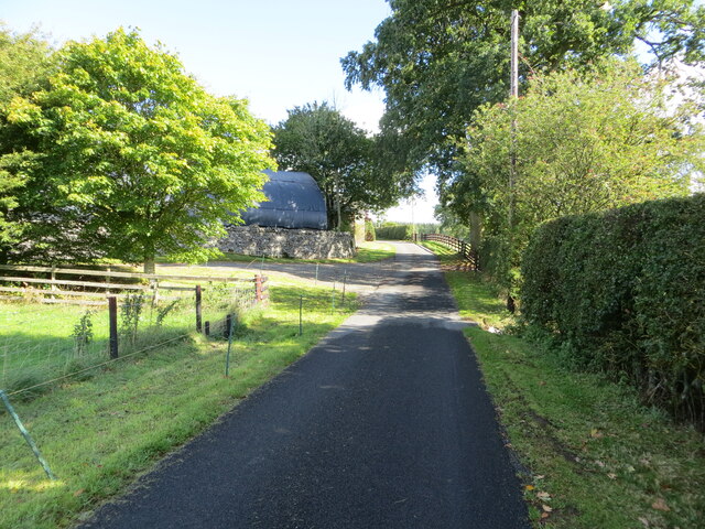
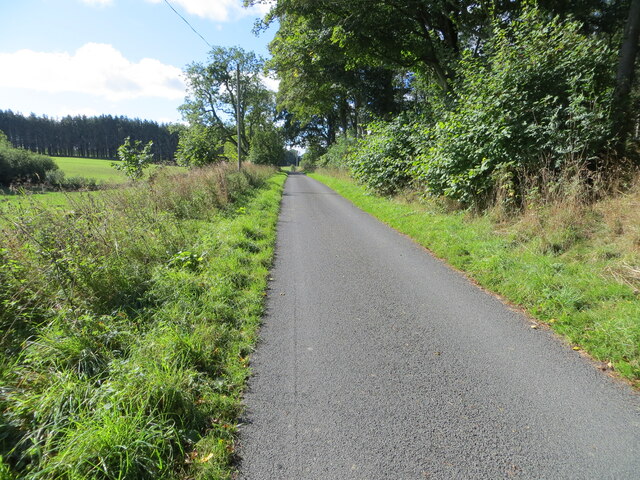
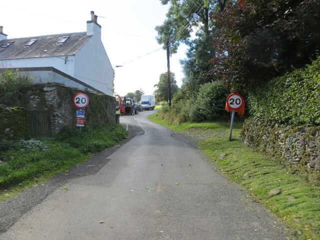
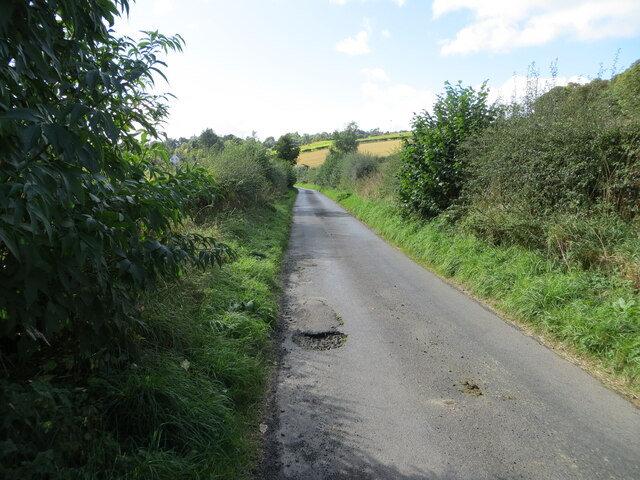
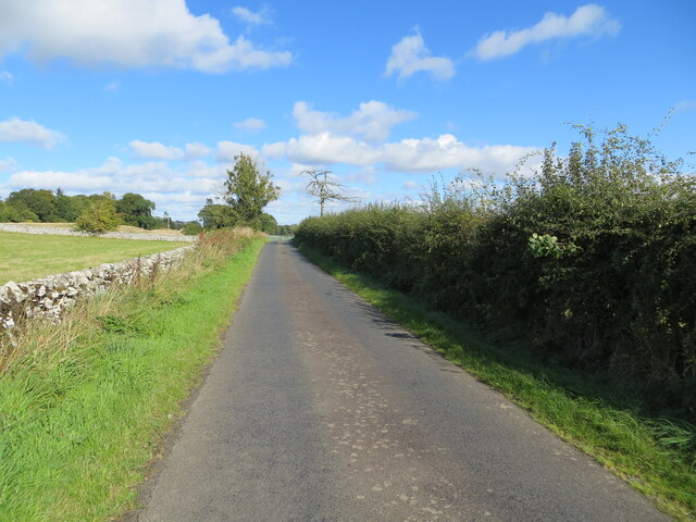
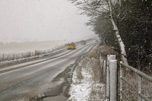
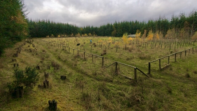
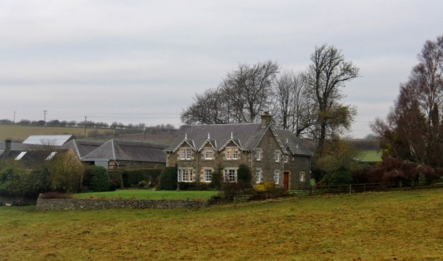
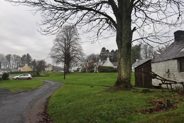
Braid Hill Images

Images are sourced within 2km of 55.539637/-2.7559583 or Grid Reference NT5227. Thanks to Geograph Open Source API. All images are credited.

Wax cap fungi in Clarilawmuir Plantation
A drinking fountain at Midlem Village The fountain has been painted since this photo was taken <a href="https://www.geograph.org.uk/photo/961088">NT5227 : Midlem Village from the well</a>.
A drinking fountain at Midlem Village
The fountain has been painted since this photo was taken NT5227 : Midlem Village from the well.
Road (B6453) heading towards Houndshall Looking south-eastward.
Road (B6453) heading towards Houndshall
Looking south-eastward.
Minor road at Hounshall Looking north-eastward.
Minor road at Hounshall
Looking north-eastward.
Minor road heading towards Whitmuir Looking south-westward.
Minor road heading towards Whitmuir
Looking south-westward.
Minor road about to join the B6453 road in Midlem Looking south-westward.
Minor road about to join the B6453 road in Midlem
Looking south-westward.
Hedge-lined minor road heading towards Midlem Looking south-westward.
Hedge-lined minor road heading towards Midlem
Looking south-westward.
Hedge and wall enclosed minor road between Midlem and Eastfield Looking north-eastward.
Hedge and wall enclosed minor road between Midlem and Eastfield
Looking north-eastward.
The A699 at Clarilawmuir The road was viewed during a snow shower in early February.
The A699 at Clarilawmuir
The road was viewed during a snow shower in early February.
Forest Pitch, ten years on Compare with Walter Baxter's 2012 photos see <a title="https://www.geograph.org.uk/stuff/list.php?title=The+Forest+Pitch+near+Selkirk&gridref=NT5028" href="https://www.geograph.org.uk/stuff/list.php?title=The+Forest+Pitch+near+Selkirk&gridref=NT5028">Link</a>
Forest Pitch, ten years on
Compare with Walter Baxter's 2012 photos see Link
Shawburn, a large farmhouse
Village of Midlem
Village of Midlem
A winter road accident The roads were hazardous in the morning after overnight snow and the driver of this vehicle had the misfortune to leave the A699 road between St Boswells and Selkirk. When I took this photo in the afternoon the road conditions had improved considerably.
A winter road accident
The roads were hazardous in the morning after overnight snow and the driver of this vehicle had the misfortune to leave the A699 road between St Boswells and Selkirk. When I took this photo in the afternoon the road conditions had improved considerably.
The Forest Pitch at Clarilawmuir Plantation near Selkirk Five years on and the pitch is covered in rough grass with sapling trees planted at either end. For the same view in 2012 and information about the project see <a href="https://www.geograph.org.uk/photo/3192889">NT5028 : The Forest Pitch near Selkirk</a>.
The Forest Pitch at Clarilawmuir Plantation near Selkirk
Five years on and the pitch is covered in rough grass with sapling trees planted at either end. For the same view in 2012 and information about the project see NT5028 : The Forest Pitch near Selkirk.
A track in Clarilawmuir Plantation A professional dog walker was using the network of tracks in the plantation.
A track in Clarilawmuir Plantation
A professional dog walker was using the network of tracks in the plantation.
A farm track at Midlem This track is on the east side of the village. A windsock for Midlem Airfield is in the distance centre left. For a closer view see <a href="https://www.geograph.org.uk/photo/2454139">NT5327 : A windsock at Midlem Airfield</a>.
A farm track at Midlem
This track is on the east side of the village. A windsock for Midlem Airfield is in the distance centre left. For a closer view see NT5327 : A windsock at Midlem Airfield.
A wooden sculpture at Midlem This splendid chainsaw-carved wooden sculpture of a heilan coo wearing a kilt stands in a prominent position at the edge of a grazing field overlooking the B6453 on the west side of the village.
A wooden sculpture at Midlem
This splendid chainsaw-carved wooden sculpture of a heilan coo wearing a kilt stands in a prominent position at the edge of a grazing field overlooking the B6453 on the west side of the village.
Minor road passing Nether Whitlaw In Selkirkshire.
Minor road passing Nether Whitlaw
In Selkirkshire.
Show me another place!

Braid Hill is located at Grid Ref: NT5227 (Lat: 55.539637, Lng: -2.7559583)

Unitary Authority: The Scottish Borders

Police Authority: The Lothians and Scottish Borders

What 3 Words

///detect.limp.newsreel. Near Selkirk, Scottish Borders

Related Wikis

Lothian and Borders

Lothian and Borders is an area in Scotland consisting of the East Lothian, City of Edinburgh, Midlothian, West Lothian council areas (collectively known...

Lilliesleaf

Lilliesleaf is a small village and civil parish 7 miles (11 km) south east of Selkirk in the Roxburghshire area of Scottish Borders of Scotland. Other...

Selkirk transmitting station

The Selkirk transmitting station is a telecommunications facility located next to Lindean Loch, near Selkirk in the Scottish Borders. It includes a 229...

Castle Holydean

Holydean Castle (pronounced "hollydeen") was a castle sited near Melrose in Bowden, 1.25 miles SW of the village, in the Scottish Borders region of Scotland...

Lindean

Lindean is a village north of Selkirk and the Ettrick Water, in the Scottish Borders area of Scotland. In 1590 the parishioners of Lindean had permission...

Bowden, Scottish Borders

Bowden is a village in the Roxburghshire area of the Scottish Borders, situated 3 miles (5 kilometres) south of Melrose, 2 miles (3 kilometres) west of...

Bridgelands

Bridgelands is a village and an 18th-century house in the Scottish Borders area of Scotland, in the parish of Selkirk. Sir Henry Raeburn's wife came from...

Selkirk High School

Selkirk High School is a high school in Selkirk, Scotland, which serves the town and its surrounding area including the Ettrick and Yarrow valleys and...

Nearby Amenities

Located within 500m of 55.539637,-2.7559583
Midlem
Place: village
Lat/Long: 55.5384433/-2.7503284
Post Box
Post Box Type: wall
Royal Cypher: GR
Royal Cypher Wikidata: Q33102273
Lat/Long: 55.5385709/-2.749983
Telephone
Booth: K6
Covered: booth
Listed Status: Category B
Lat/Long: 55.5385281/-2.7499414
Natural: peak
Lat/Long: 55.5361995/-2.7564684
Noexit: yes
Lat/Long: 55.5367034/-2.7532894
Noexit: yes
Lat/Long: 55.5367205/-2.7526587
Noexit: yes
Lat/Long: 55.5377675/-2.7552997
Noexit: yes
Lat/Long: 55.5387724/-2.7488493
Noexit: yes
Lat/Long: 55.5397645/-2.7490794
Braidwood
Place: hamlet
Lat/Long: 55.5402065/-2.7563669
Power: tower
Lat/Long: 55.5430357/-2.7556968
Barrier: kissing_gate
Lat/Long: 55.5364967/-2.7524543
Noexit: yes
Lat/Long: 55.5381249/-2.7533819
Power: pole
Lat/Long: 55.5354471/-2.753323
Power: pole
Lat/Long: 55.5358993/-2.7540102
Power: pole
Lat/Long: 55.5363329/-2.7546643
Power: pole
Lat/Long: 55.5369435/-2.755606
Power: pole
Lat/Long: 55.5374303/-2.7563568
Power: pole
Lat/Long: 55.5378523/-2.7569752
Power: pole
Lat/Long: 55.5382627/-2.7573672
Power: tower
Lat/Long: 55.5360409/-2.7593783
Power: tower
Lat/Long: 55.5382114/-2.7582359
Power: tower
Lat/Long: 55.5408532/-2.7568455
Power: pole
Lat/Long: 55.540056/-2.7580881
Power: pole
Lat/Long: 55.5394382/-2.7584775
Power: pole
Lat/Long: 55.5397536/-2.7595489
Power: pole
Lat/Long: 55.5400747/-2.7606026
Power: pole
Lat/Long: 55.5404031/-2.7616334
Power: pole
Lat/Long: 55.5407444/-2.7627532
The data included in this document is from www.openstreetmap.org. The data is made available under ODbL.

Have you been to Braid Hill?

Leave your review of Braid Hill below (or comments, questions and feedback).