Mars Lee Wood

Wood, Forest in Roxburghshire

Scotland

Mars Lee Wood

Feeding time for hungry cows The cows posed briefly for the camera as I walked past a cattle shed by the minor road to Kaeside Farm.
Feeding time for hungry cows Credit: Walter Baxter

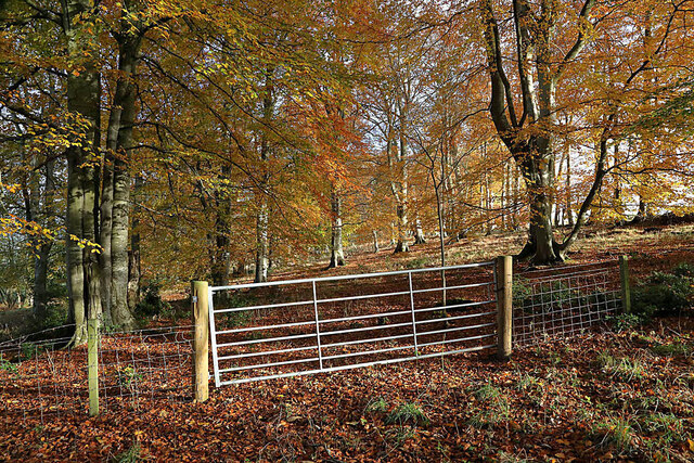
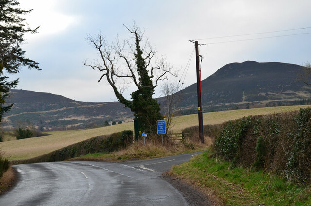
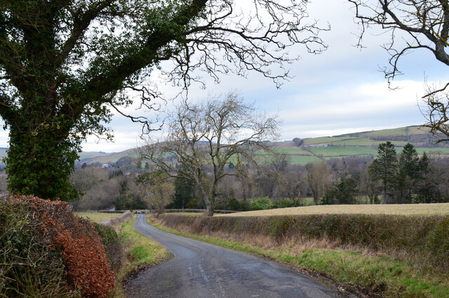
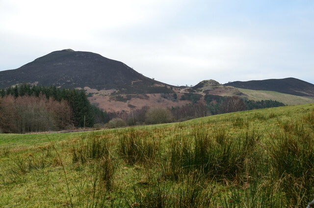
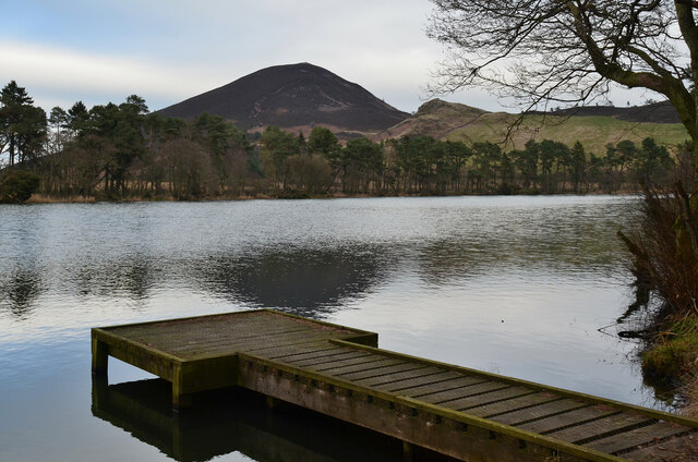
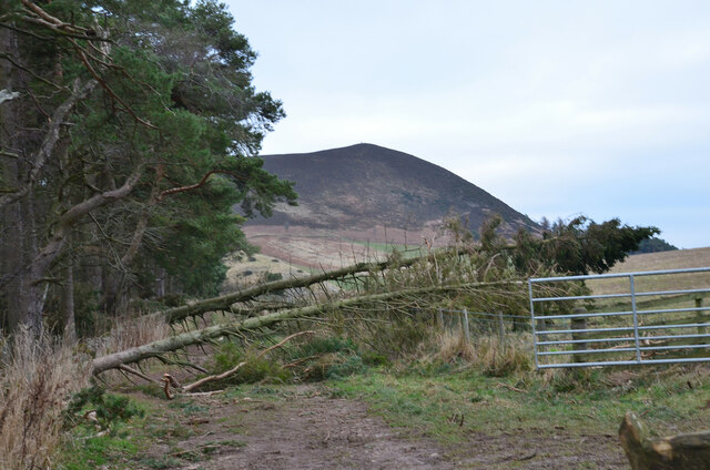
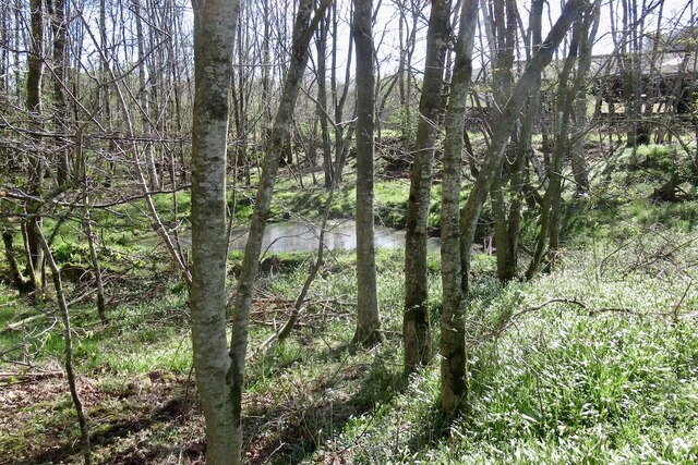
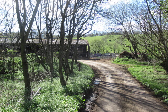
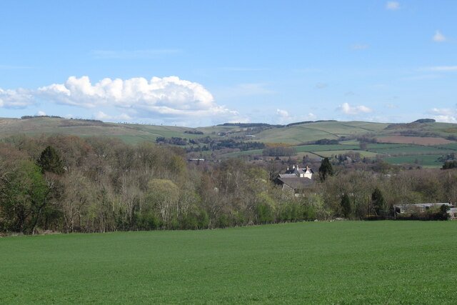
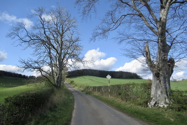
Mars Lee Wood, located in Roxburghshire, Scotland, is a picturesque forest area renowned for its natural beauty and recreational opportunities. Situated in the southern part of the country, the wood covers an area of approximately 500 hectares.

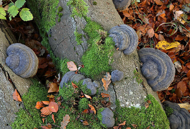
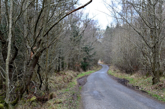
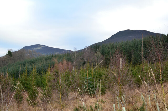
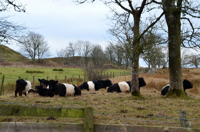
The wood features a diverse range of tree species, including oak, beech, and conifers, creating a rich and vibrant ecosystem. This variety of flora supports an array of wildlife, including deer, foxes, badgers, and a wide variety of bird species, making it a popular destination for nature enthusiasts and birdwatchers.

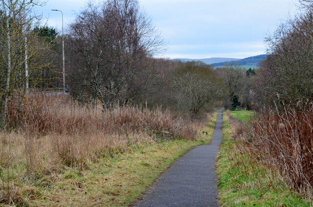
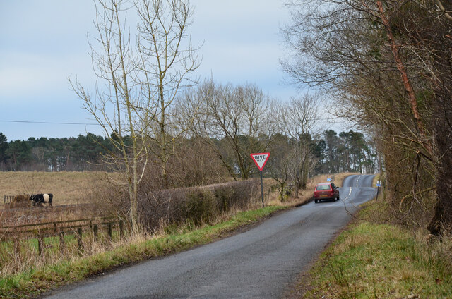
For outdoor enthusiasts, Mars Lee Wood offers a network of well-maintained trails, providing opportunities for hiking, walking, and cycling. The trails cater to all abilities and offer stunning vistas of the surrounding countryside. Additionally, the wood boasts a picnic area, allowing visitors to relax and enjoy the natural surroundings.

Mars Lee Wood is also a designated Site of Special Scientific Interest (SSSI), highlighting its significance for conservation and scientific research. The wood provides a valuable habitat for rare and protected species, contributing to the preservation of biodiversity in the region.

With its peaceful atmosphere and stunning natural scenery, Mars Lee Wood is a popular destination for visitors seeking tranquility and a connection with nature. Its accessibility and range of activities make it an ideal location for both locals and tourists to explore and appreciate the beauty of Roxburghshire's woodlands.

If you have any feedback on the listing, please let us know in the comments section below.

Mars Lee Wood Images

Images are sourced within 2km of 55.586556/-2.7551149 or Grid Reference NT5232. Thanks to Geograph Open Source API. All images are credited.

Feeding time for hungry cows The cows posed briefly for the camera as I walked past a cattle shed by the minor road to Kaeside Farm.
Feeding time for hungry cows
The cows posed briefly for the camera as I walked past a cattle shed by the minor road to Kaeside Farm.
Hoof fungus (Fomes fomentarius) This grey bracket fungus was growing on a fallen beech tree in Broomyknowe Plantation.
Hoof fungus (Fomes fomentarius)
This grey bracket fungus was growing on a fallen beech tree in Broomyknowe Plantation.
A gateway to a beech wood Most of the trees in Broomyknowe Plantation are beech.
A gateway to a beech wood
Most of the trees in Broomyknowe Plantation are beech.
Cyclepath alongside Melrose By-Pass A path by the A6091 east of the Borders General Hospital.
Cyclepath alongside Melrose By-Pass
A path by the A6091 east of the Borders General Hospital.
Underpass near Borders General Hospital The underpass carries the Dingleton road and the Huntly Burn below the A6091 Melrose By-Pass.
Underpass near Borders General Hospital
The underpass carries the Dingleton road and the Huntly Burn below the A6091 Melrose By-Pass.
Road junction near Borders General Hospital Junction for a minor road, single track with passing places, with the road between Darnick and Dingleton. Eildon Mid Hill is to the right.
Road junction near Borders General Hospital
Junction for a minor road, single track with passing places, with the road between Darnick and Dingleton. Eildon Mid Hill is to the right.
Minor road near Dingleton A single-track road through farmland and plantations west of Dingleton.
Minor road near Dingleton
A single-track road through farmland and plantations west of Dingleton.
Minor road through plantations, Dingleton A single-track road west of Dingleton.
Minor road through plantations, Dingleton
A single-track road west of Dingleton.
Eildon Hills from plantations near Dingleton Eildon Hill North (L) and Eildon Mid Hill seen from a minor road west of Dingleton.
Eildon Hills from plantations near Dingleton
Eildon Hill North (L) and Eildon Mid Hill seen from a minor road west of Dingleton.
Eildon Hills from the west Eildon Mid Hill (L), Little Hill (centre) and Wester Hill (R) seen from the single-track road west of Dingleton.
Eildon Hills from the west
Eildon Mid Hill (L), Little Hill (centre) and Wester Hill (R) seen from the single-track road west of Dingleton.
Road junction near Bowdenmoor Reservoir The single-track road meets the B6359 road from Dingleton.
Road junction near Bowdenmoor Reservoir
The single-track road meets the B6359 road from Dingleton.
Belted Galloway cattle, Bowdenmoor Distinctive black and white cattle by the B6359.
Belted Galloway cattle, Bowdenmoor
Distinctive black and white cattle by the B6359.
Bowden Loch This former reservoir is a fishery and it had attracted a number of anglers and walkers on this Sunday afternoon. Eildon Mid Hill dominates the skyline with Little Hill to the right.
Bowden Loch
This former reservoir is a fishery and it had attracted a number of anglers and walkers on this Sunday afternoon. Eildon Mid Hill dominates the skyline with Little Hill to the right.
Fallen trees at Bowden Loch Two Scots pines across the track, aftermath of Storm Arwen's northerly gales in November last year.
Fallen trees at Bowden Loch
Two Scots pines across the track, aftermath of Storm Arwen's northerly gales in November last year.
Pond, Shillinglaw
Pond, Shillinglaw
Road above Abbotsford There is a rightangled bend with a cattle shed beside the road.
Road above Abbotsford
There is a rightangled bend with a cattle shed beside the road.
View over the Tweed Towards the hills north of Melrose.
View over the Tweed
Towards the hills north of Melrose.
Road to Cauldshiels Loch
Show me another place!

Mars Lee Wood is located at Grid Ref: NT5232 (Lat: 55.586556, Lng: -2.7551149)

Unitary Authority: The Scottish Borders

Police Authority: The Lothians and Scottish Borders

What 3 Words

///used.latitudes.natively. Near Tweedbank, Scottish Borders

Related Wikis

Borders General Hospital

Borders General Hospital (BGH) is a district general hospital on the outskirts of Melrose, Scotland. It is managed by NHS Borders. == History == The hospital...

Darnick

Darnick is a village near Melrose in the Scottish Borders area of Scotland, in the former Roxburghshire. The name was first recorded in 1124, and has changed...
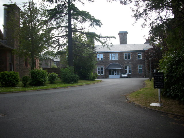
Dingleton Hospital

Dingleton Hospital was a mental health facility in Melrose, Scotland. The former boiler house is a Category B listed building. == History == The hospital...

Melrose, Scottish Borders

Melrose (Scottish Gaelic: Maolros, "bald moor") is a town and civil parish in the Scottish Borders, historically in Roxburghshire. It lies within the Eildon...

Nearby Amenities

Located within 500m of 55.586556,-2.7551149
Power: tower
Lat/Long: 55.5878945/-2.748082
The data included in this document is from www.openstreetmap.org. The data is made available under ODbL.

Have you been to Mars Lee Wood?

Leave your review of Mars Lee Wood below (or comments, questions and feedback).