Hilltop Plantation
Wood, Forest in Roxburghshire
Scotland
Hilltop Plantation
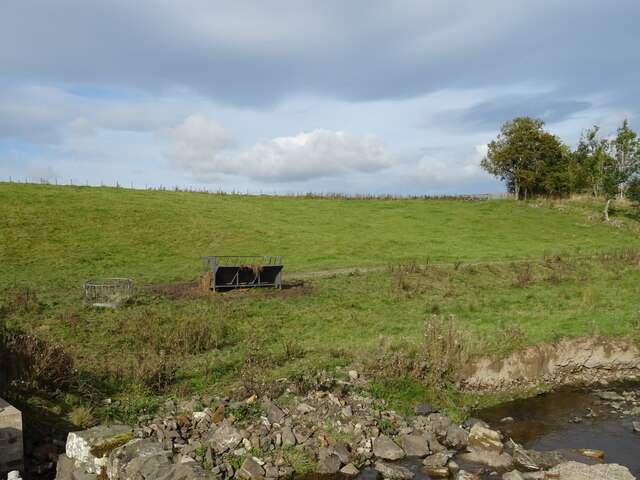
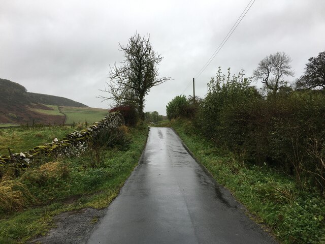
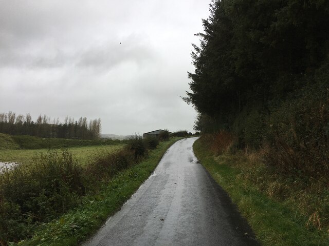
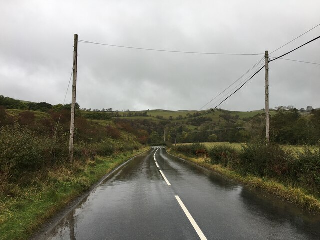
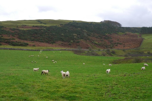
Hilltop Plantation is a vast and picturesque woodland located in Roxburghshire, a historic county in the Scottish Borders region of Scotland. This expansive forest covers an area of approximately 500 acres, making it a significant natural attraction in the area.
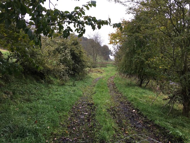
The plantation is characterized by its diverse range of tree species, including oak, beech, birch, and pine, among others. These trees create a rich and vibrant ecosystem, providing habitat for various bird species, such as woodpeckers, owls, and songbirds, as well as mammals like deer, squirrels, and foxes.
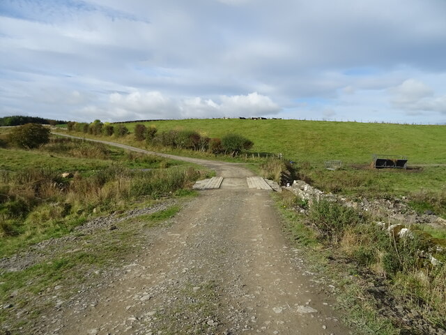
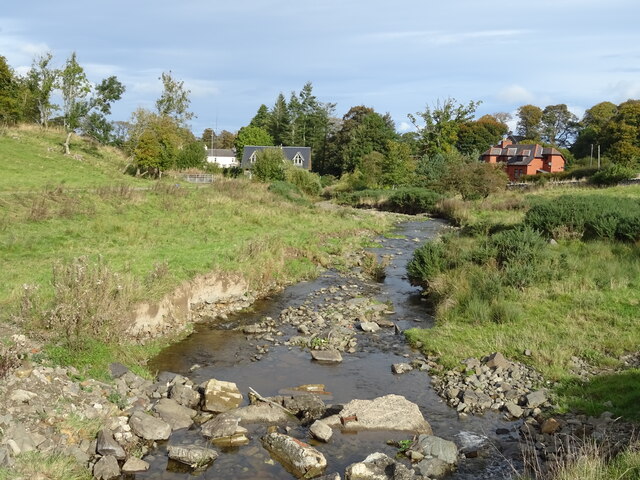
Visitors to Hilltop Plantation can enjoy a range of activities that showcase the beauty and serenity of the natural surroundings. Hiking and walking trails crisscross the woodland, allowing visitors to explore the plantation at their own pace. The trails offer breathtaking views of the surrounding hills and valleys, showcasing the stunning landscape of Roxburghshire.
For those seeking a more immersive experience, camping facilities are available within the plantation, allowing visitors to spend the night under the starry skies and wake up to the sounds of nature. Additionally, the plantation offers designated picnic areas, perfect for enjoying a leisurely outdoor meal amidst the captivating scenery.
Hilltop Plantation also plays an important role in conservation efforts, with initiatives in place to protect and preserve the natural habitat and wildlife within the woodland. Education programs and guided tours are organized to raise awareness about the importance of environmental stewardship and sustainable practices.
Overall, Hilltop Plantation is a captivating destination for nature enthusiasts, offering a tranquil retreat and an opportunity to connect with the natural beauty of Roxburghshire.
If you have any feedback on the listing, please let us know in the comments section below.
Hilltop Plantation Images
Images are sourced within 2km of 55.405192/-2.7517307 or Grid Reference NT5212. Thanks to Geograph Open Source API. All images are credited.


Hilltop Plantation is located at Grid Ref: NT5212 (Lat: 55.405192, Lng: -2.7517307)
Unitary Authority: The Scottish Borders
Police Authority: The Lothians and Scottish Borders
What 3 Words
///marked.should.strategy. Near Hawick, Scottish Borders
Nearby Locations
Related Wikis

Kirkton, Scottish Borders
Kirkton is a village in the Scottish Borders area of Scotland, off the A6088, near Hawick. Grid Ref. NT5413. It is a former parish, amalgamated into the...

Slitrig Water
Slitrig Water (archaic Scots: Slitterick Waiter; current Southern Scots: Slitrig Witter), also known as the River Slitrig, is a river in the Scottish Borders...

Hawick
Hawick ( HOYK; Scots: Haaick; Scottish Gaelic: Hamhaig) is a town in the Scottish Borders council area and historic county of Roxburghshire in the east...

Hawick Town Hall
Hawick Town Hall is a municipal building in the High Street, Hawick, Scotland. The structure, which served as the meeting place of Hawick Burgh Council...

Mansfield Park, Hawick
Mansfield Park is a rugby union ground in Hawick, Scotland, with a capacity of approximately 5,000. It is the home of Hawick Rugby Football Club, who currently...
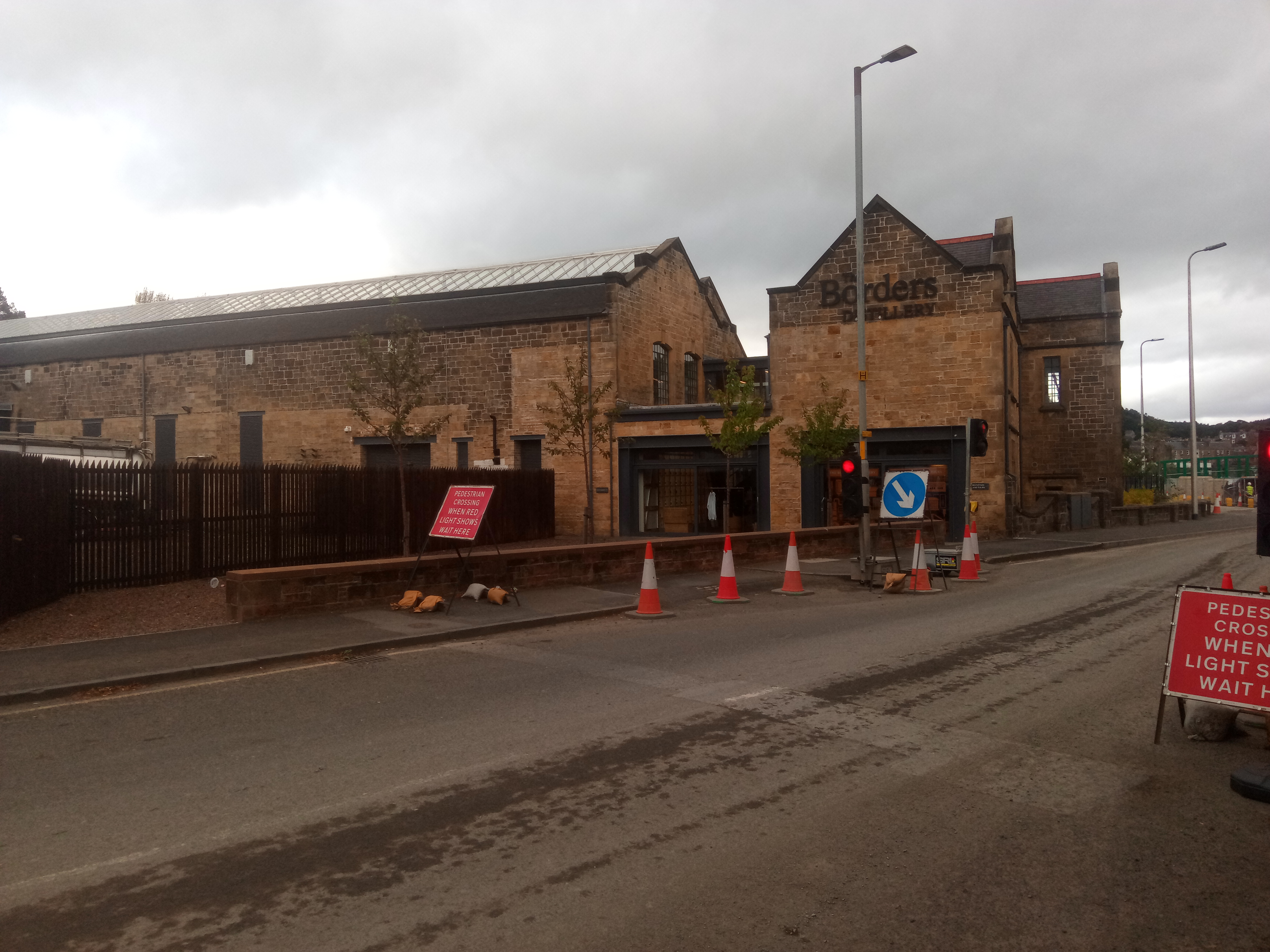
Borders distillery
The Borders distillery, is a malt whisky, gin and vodka production facility in the Scottish Borders town of Hawick. The distillery produces malt whisky...
Hawick High School
Hawick High School is a non-denominational secondary school in Hawick, in the Scottish Borders. As well as serving the town, it also takes in pupils from...

Cavers Castle
Cavers Castle, also known as Cavers House, is a ruined tower house located at Cavers, Scottish Borders, Scotland. Cavers Castle was a much extended tower...
Nearby Amenities
Located within 500m of 55.405192,-2.7517307Have you been to Hilltop Plantation?
Leave your review of Hilltop Plantation below (or comments, questions and feedback).