Bleak Law
Hill, Mountain in Roxburghshire
Scotland
Bleak Law
Bleak Law is a prominent hill/mountain located in Roxburghshire, a historic county in the southern part of Scotland. Rising to an impressive height of approximately 528 meters (1,732 feet), it stands as one of the tallest peaks in the region. Situated amidst the picturesque Scottish Borders, Bleak Law offers breathtaking panoramic views of the surrounding landscapes.
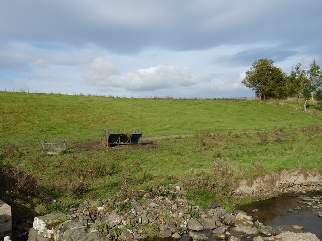
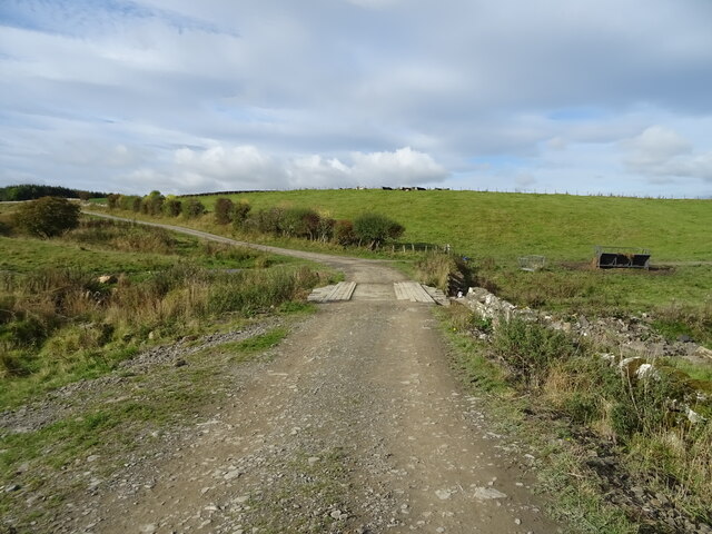
Characterized by its rugged and wild terrain, Bleak Law is known for its barren and desolate appearance. The hill/mountain is predominantly covered in heather and grass, with scattered patches of rocky outcrops. Its exposed slopes are often buffeted by strong winds, enhancing its reputation as a challenging and unforgiving natural landmark.
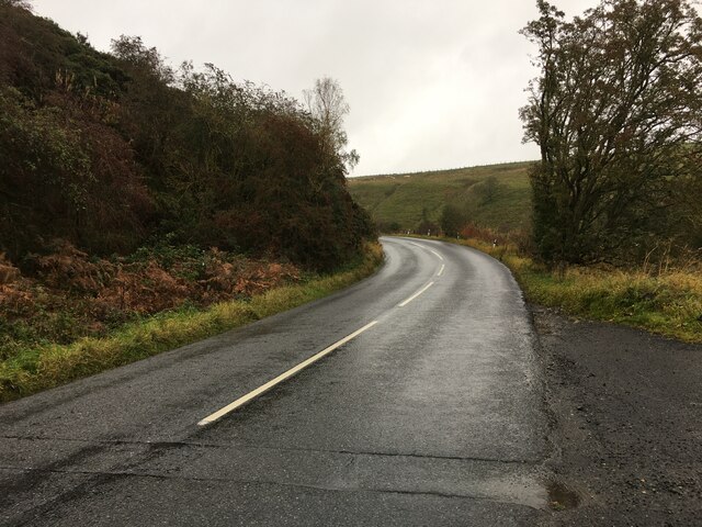
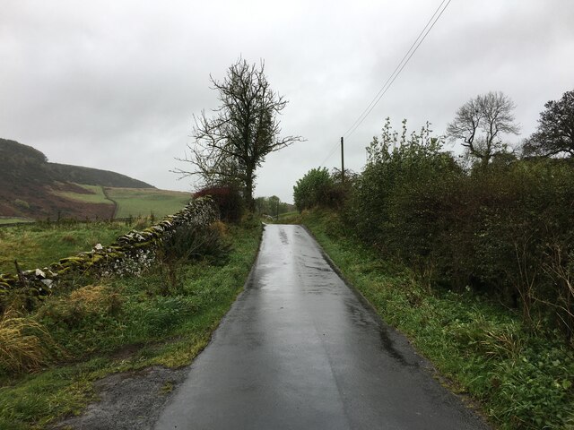
Despite its harsh conditions, Bleak Law attracts outdoor enthusiasts and hikers who seek adventure and a chance to conquer its summit. There are several walking trails and paths leading to the top, offering varying levels of difficulty to cater to all skill levels. Adventurers are rewarded with stunning views of the rolling hills, dense forests, and meandering rivers that surround the area.
Bleak Law also holds historical significance, with traces of ancient settlements and archaeological sites discovered on its slopes. These remnants provide insights into the region's rich past, adding an additional layer of interest for history enthusiasts and researchers.
Overall, Bleak Law in Roxburghshire offers a challenging yet rewarding outdoor experience, showcasing the rugged beauty of the Scottish countryside.
If you have any feedback on the listing, please let us know in the comments section below.
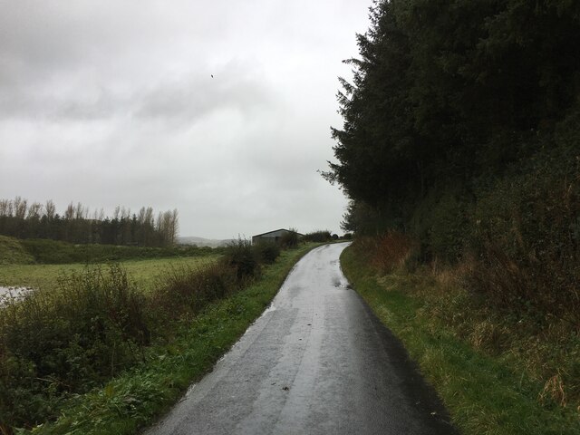
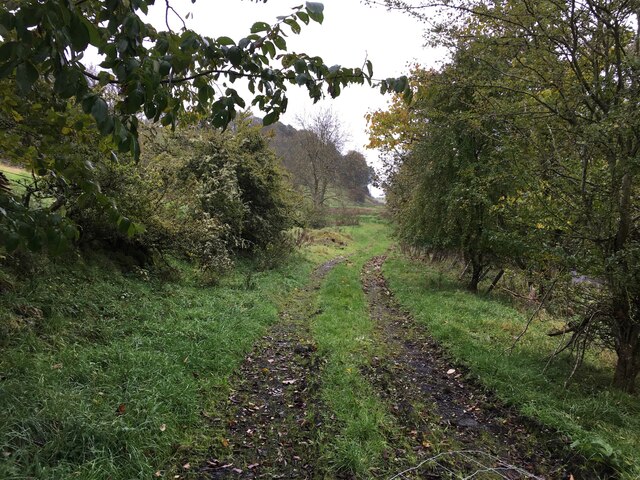
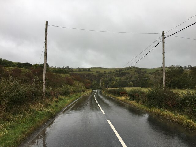
Bleak Law Images
Images are sourced within 2km of 55.403186/-2.7534297 or Grid Reference NT5212. Thanks to Geograph Open Source API. All images are credited.


Bleak Law is located at Grid Ref: NT5212 (Lat: 55.403186, Lng: -2.7534297)
Unitary Authority: The Scottish Borders
Police Authority: The Lothians and Scottish Borders
What 3 Words
///shams.leaves.magically. Near Hawick, Scottish Borders
Nearby Locations
Related Wikis

Kirkton, Scottish Borders
Kirkton is a village in the Scottish Borders area of Scotland, off the A6088, near Hawick. Grid Ref. NT5413. It is a former parish, amalgamated into the...

Slitrig Water
Slitrig Water (archaic Scots: Slitterick Waiter; current Southern Scots: Slitrig Witter), also known as the River Slitrig, is a river in the Scottish Borders...

Hawick
Hawick ( HOYK; Scots: Haaick; Scottish Gaelic: Hamhaig) is a town in the Scottish Borders council area and historic county of Roxburghshire in the east...

Hawick Town Hall
Hawick Town Hall is a municipal building in the High Street, Hawick, Scotland. The structure, which served as the meeting place of Hawick Burgh Council...
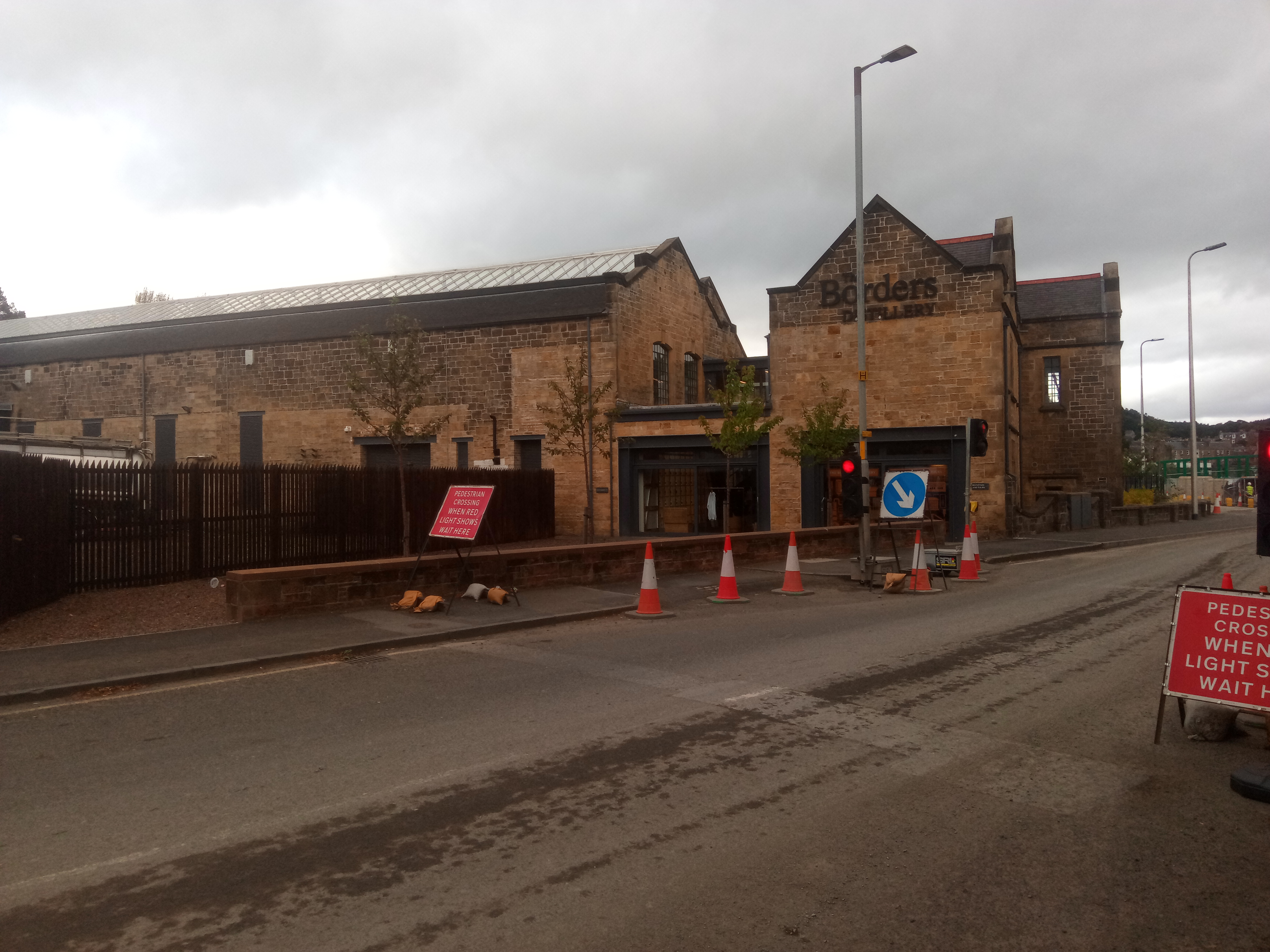
Borders distillery
The Borders distillery, is a malt whisky, gin and vodka production facility in the Scottish Borders town of Hawick. The distillery produces malt whisky...

Hawick High School
Hawick High School is a non-denominational secondary school in Hawick, in the Scottish Borders. As well as serving the town, it also takes in pupils from...
Stobs railway station
Stobs railway station served the hamlet of Barnes, Scottish Borders, Scotland from 1862 to 1969 on the Border Union Railway. == History == The station...
Mansfield Park, Hawick
Mansfield Park is a rugby union ground in Hawick, Scotland, with a capacity of approximately 5,000. It is the home of Hawick Rugby Football Club, who currently...
Nearby Amenities
Located within 500m of 55.403186,-2.7534297Have you been to Bleak Law?
Leave your review of Bleak Law below (or comments, questions and feedback).