Hareseat Wood

Wood, Forest in Roxburghshire

Scotland

Hareseat Wood

Broomilees Road. Infilled Railway cutting At this point was an over bridge on the Waverley Line, now infilled.


<span class="nowrap"><a title="https://tinyurl.com/e94tw557" rel="nofollow ugc noopener" href="https://tinyurl.com/e94tw557">Link</a><img style="margin-left:2px;" alt="External link" title="External link - shift click to open in new window" src="https://s1.geograph.org.uk/img/external.png" width="10" height="10"/></span>
Broomilees Road. Infilled Railway cutting Credit: Trevor Edward Streeter

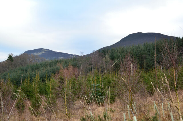
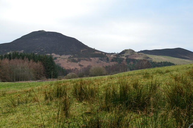
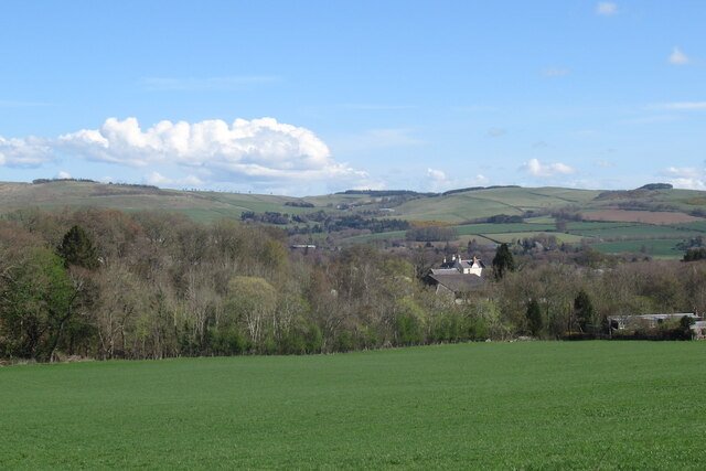
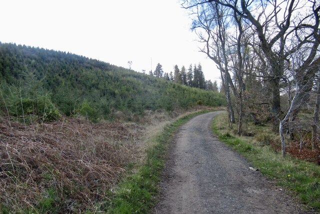
Hareseat Wood is a picturesque forest located in Roxburghshire, a historic county in the Scottish Borders region of Scotland. Covering an area of approximately 100 hectares, this enchanting woodland is a haven for nature lovers and outdoor enthusiasts.

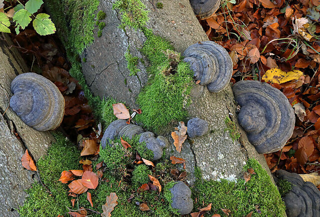
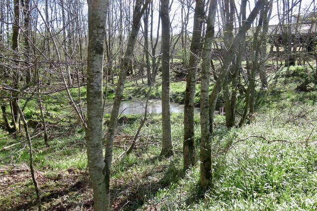
The wood is predominantly composed of native broadleaf trees, such as oak, birch, and ash, which create a diverse and vibrant ecosystem. These ancient trees provide habitats for a wide range of flora and fauna, including various species of birds, mammals, and insects. Visitors to Hareseat Wood may catch glimpses of red squirrels, roe deer, and woodpeckers amongst the dense foliage.

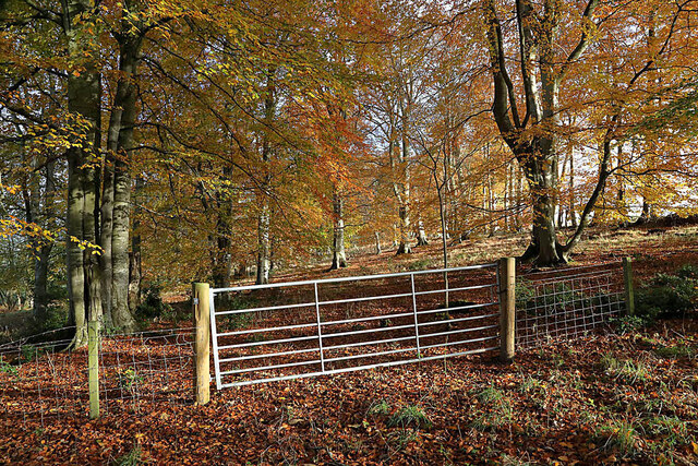
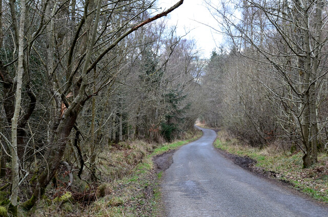
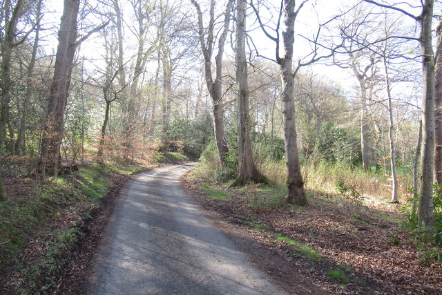
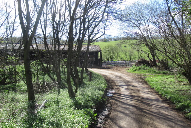
Traversing through the wood is made possible by a network of well-maintained trails, which provide visitors with the opportunity to explore the forest at their own pace. The paths wind through the woodland, leading visitors past small streams, moss-covered rocks, and vibrant wildflowers. The tranquil atmosphere of the wood makes it an ideal destination for walking, jogging, or simply enjoying a peaceful picnic amidst nature.

Hareseat Wood is also renowned for its historical significance. The wood is believed to have been part of the ancient Jed Forest and has witnessed centuries of human activity, including timber harvesting and charcoal production. Today, it stands as a testament to the enduring beauty of nature and the importance of conservation.

Overall, Hareseat Wood in Roxburghshire is a captivating woodland that offers visitors a chance to reconnect with nature and immerse themselves in the rich biodiversity of the Scottish Borders.

If you have any feedback on the listing, please let us know in the comments section below.

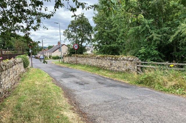
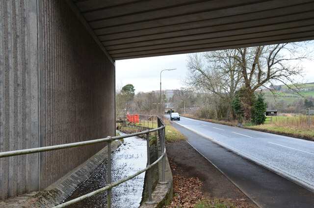
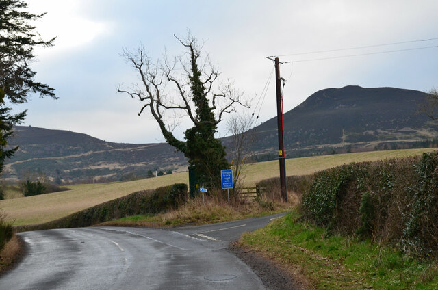
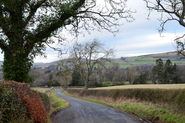
Hareseat Wood Images

Images are sourced within 2km of 55.585032/-2.7619073 or Grid Reference NT5232. Thanks to Geograph Open Source API. All images are credited.

Broomilees Road. Infilled Railway cutting At this point was an over bridge on the Waverley Line, now infilled.


<span class="nowrap"><a title="https://tinyurl.com/e94tw557" rel="nofollow ugc noopener" href="https://tinyurl.com/e94tw557">Link</a><img style="margin-left:2px;" alt="External link" title="External link - shift click to open in new window" src="https://s1.geograph.org.uk/img/external.png" width="10" height="10"/></span>
Broomilees Road. Infilled Railway cutting
At this point was an over bridge on the Waverley Line, now infilled. LinkExternal link
Feeding time for hungry cows The cows posed briefly for the camera as I walked past a cattle shed by the minor road to Kaeside Farm.
Feeding time for hungry cows
The cows posed briefly for the camera as I walked past a cattle shed by the minor road to Kaeside Farm.
Hoof fungus (Fomes fomentarius) This grey bracket fungus was growing on a fallen beech tree in Broomyknowe Plantation.
Hoof fungus (Fomes fomentarius)
This grey bracket fungus was growing on a fallen beech tree in Broomyknowe Plantation.
A gateway to a beech wood Most of the trees in Broomyknowe Plantation are beech.
A gateway to a beech wood
Most of the trees in Broomyknowe Plantation are beech.
Underpass near Borders General Hospital The underpass carries the Dingleton road and the Huntly Burn below the A6091 Melrose By-Pass.
Underpass near Borders General Hospital
The underpass carries the Dingleton road and the Huntly Burn below the A6091 Melrose By-Pass.
Road junction near Borders General Hospital Junction for a minor road, single track with passing places, with the road between Darnick and Dingleton. Eildon Mid Hill is to the right.
Road junction near Borders General Hospital
Junction for a minor road, single track with passing places, with the road between Darnick and Dingleton. Eildon Mid Hill is to the right.
Minor road near Dingleton A single-track road through farmland and plantations west of Dingleton.
Minor road near Dingleton
A single-track road through farmland and plantations west of Dingleton.
Minor road through plantations, Dingleton A single-track road west of Dingleton.
Minor road through plantations, Dingleton
A single-track road west of Dingleton.
Eildon Hills from plantations near Dingleton Eildon Hill North (L) and Eildon Mid Hill seen from a minor road west of Dingleton.
Eildon Hills from plantations near Dingleton
Eildon Hill North (L) and Eildon Mid Hill seen from a minor road west of Dingleton.
Eildon Hills from the west Eildon Mid Hill (L), Little Hill (centre) and Wester Hill (R) seen from the single-track road west of Dingleton.
Eildon Hills from the west
Eildon Mid Hill (L), Little Hill (centre) and Wester Hill (R) seen from the single-track road west of Dingleton.
Road junction near Bowdenmoor Reservoir The single-track road meets the B6359 road from Dingleton.
Road junction near Bowdenmoor Reservoir
The single-track road meets the B6359 road from Dingleton.
Belted Galloway cattle, Bowdenmoor Distinctive black and white cattle by the B6359.
Belted Galloway cattle, Bowdenmoor
Distinctive black and white cattle by the B6359.
Road above Abbotsford
Pond, Shillinglaw
Pond, Shillinglaw
Road above Abbotsford There is a rightangled bend with a cattle shed beside the road.
Road above Abbotsford
There is a rightangled bend with a cattle shed beside the road.
View over the Tweed Towards the hills north of Melrose.
View over the Tweed
Towards the hills north of Melrose.
Road to Cauldshiels Loch
Road, Cauldshiels Towards the loch past young trees.
Road, Cauldshiels
Towards the loch past young trees.
Show me another place!

Hareseat Wood is located at Grid Ref: NT5232 (Lat: 55.585032, Lng: -2.7619073)

Unitary Authority: The Scottish Borders

Police Authority: The Lothians and Scottish Borders

What 3 Words

///hacksaw.fine.mulls. Near Tweedbank, Scottish Borders

Related Wikis

Borders General Hospital

Borders General Hospital (BGH) is a district general hospital on the outskirts of Melrose, Scotland. It is managed by NHS Borders. == History == The hospital...

Darnick

Darnick is a village near Melrose in the Scottish Borders area of Scotland, in the former Roxburghshire. The name was first recorded in 1124, and has changed...

Tweedbank

Tweedbank is a large village south-east of Galashiels in the Scottish Borders, Scotland. It is part of the county of Roxburghshire. It is an outer suburb...

Abbotsford, Scottish Borders

Abbotsford is a historic country house in the Scottish Borders, near Galashiels, on the south bank of the River Tweed. Now open to the public, it was built...

Nearby Amenities

Located within 500m of 55.585032,-2.7619073
The data included in this document is from www.openstreetmap.org. The data is made available under ODbL.

Have you been to Hareseat Wood?

Leave your review of Hareseat Wood below (or comments, questions and feedback).