Bank Plantation
Wood, Forest in Angus
Scotland
Bank Plantation
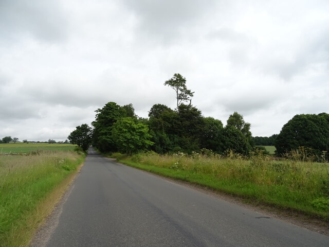
Bank Plantation, Angus is a wooded area located in the county of Angus, Scotland. Spanning over several acres, this plantation is renowned for its dense forest and diverse variety of trees. The plantation primarily consists of woodlands dominated by coniferous trees, including pine, spruce, and fir. These evergreen trees provide a lush green cover throughout the year, creating a picturesque landscape.
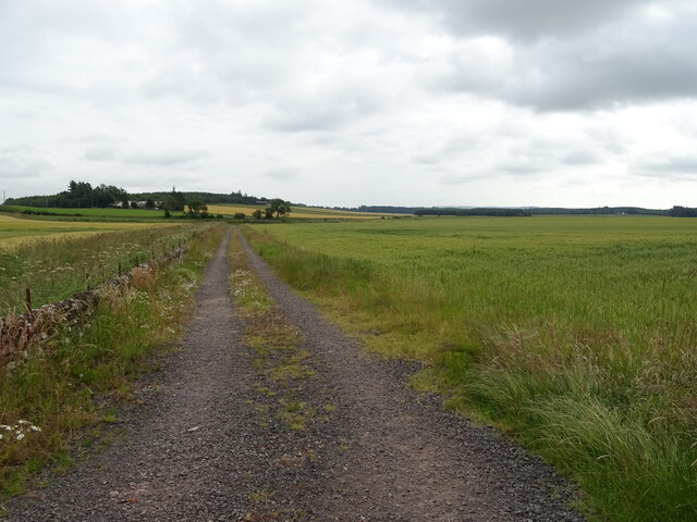
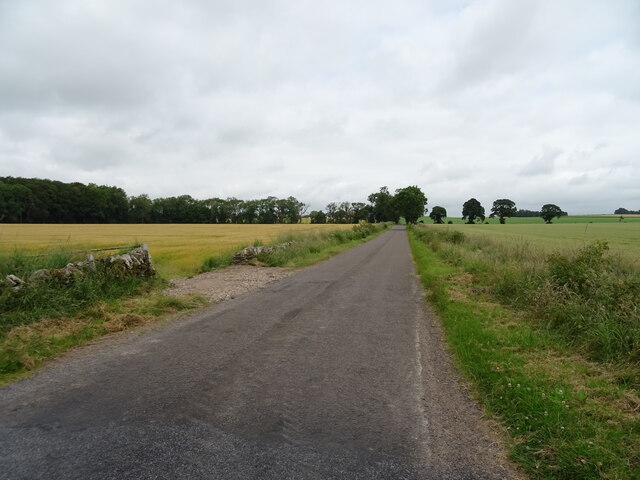
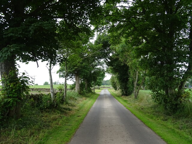
The plantation is located on a sloping terrain, with the higher areas offering panoramic views of the surrounding countryside. It is a popular destination for nature enthusiasts, hikers, and birdwatchers, who are attracted by the tranquility and natural beauty of the area.
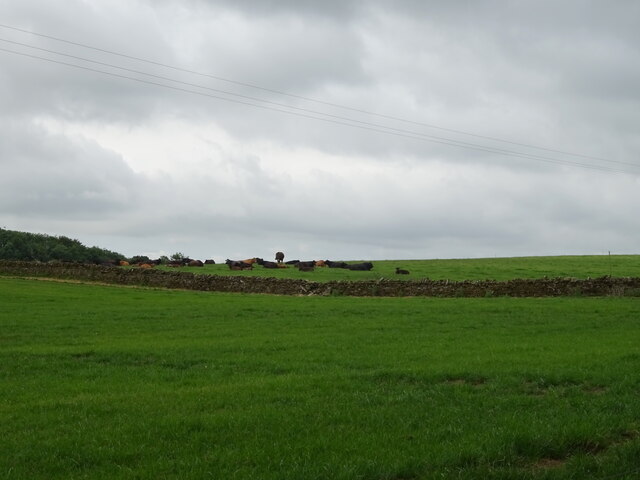
The forest floor is covered with a thick layer of moss and fallen leaves, providing habitat for a wide range of wildlife. Visitors may spot various bird species, such as woodpeckers, owls, and finches, as well as small mammals like squirrels and rabbits. The plantation also supports a rich diversity of plant life, with ferns, wildflowers, and mushrooms flourishing in the shaded areas.
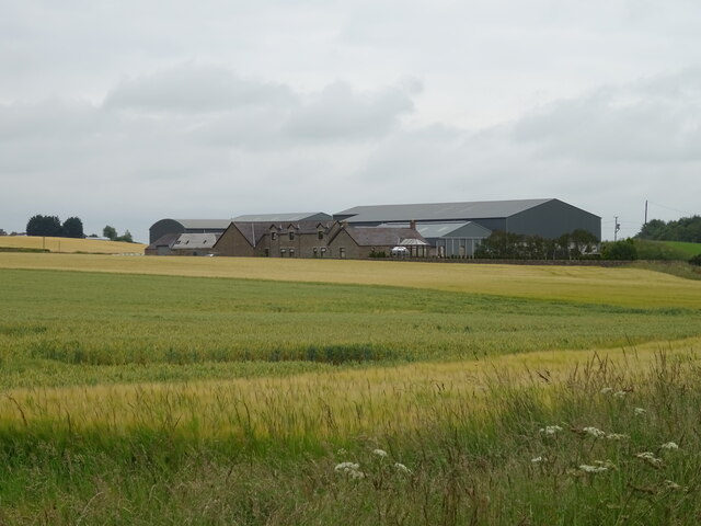
Bank Plantation is well-maintained, with clearly marked trails and paths for visitors to explore. The plantation is part of a larger network of woodland areas in Angus, offering opportunities for longer hikes and connecting with nature. It serves as an important green space for the local community, providing recreational activities and a peaceful environment for relaxation.
Overall, Bank Plantation, Angus is a scenic woodland area with a rich ecosystem, making it an ideal destination for nature lovers and outdoor enthusiasts seeking a serene and refreshing experience in the heart of Angus, Scotland.
If you have any feedback on the listing, please let us know in the comments section below.
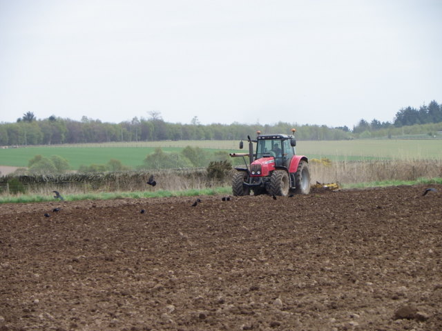
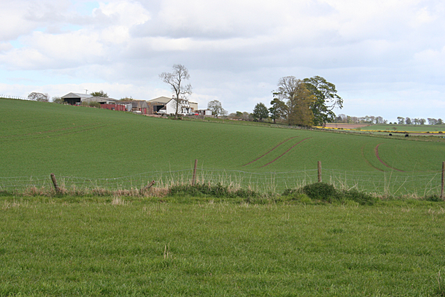
Bank Plantation Images
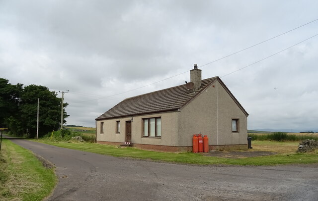
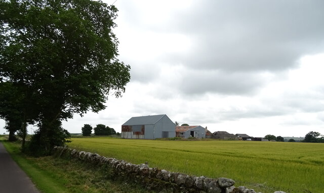
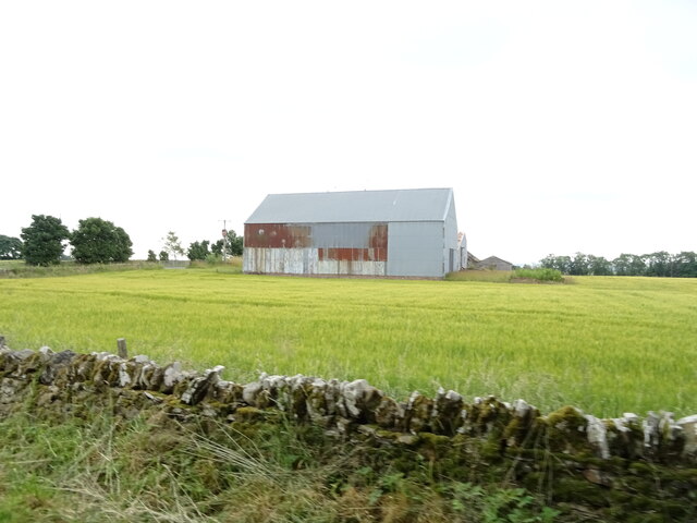
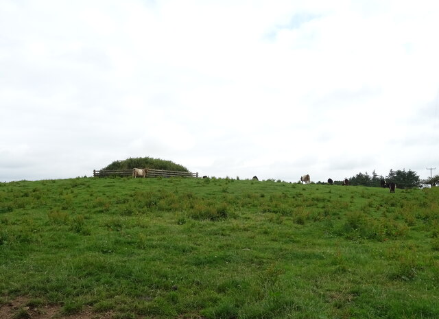
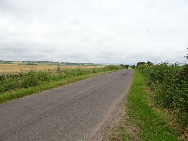
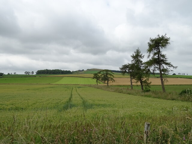
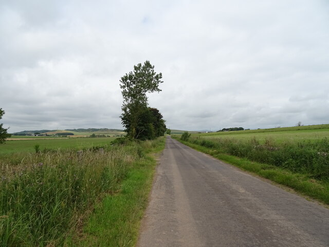
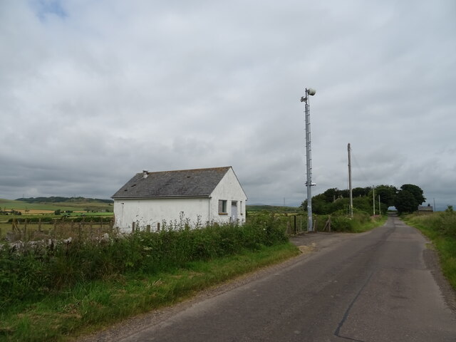
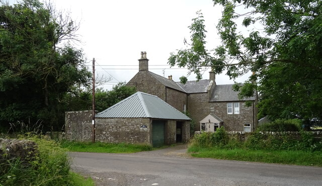
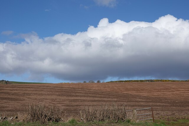
Images are sourced within 2km of 56.669433/-2.7836919 or Grid Reference NO5253. Thanks to Geograph Open Source API. All images are credited.
Bank Plantation is located at Grid Ref: NO5253 (Lat: 56.669433, Lng: -2.7836919)
Unitary Authority: Angus
Police Authority: Tayside
What 3 Words
///loosed.intend.dizziness. Near Letham, Angus
Nearby Locations
Related Wikis

Rescobie Loch
Rescobie Loch is a post glacial fresh water body located in the parish of Rescobie, 4 km (2.5 mi) to the East of Forfar, in the county of Angus, Scotland...

Aberlemno Sculptured Stones
The Aberlemno Sculptured Stones are a series of Pictish standing stones originating in and around the village of Aberlemno, Angus, Scotland. Three are...

Aberlemno
Aberlemno (Scottish Gaelic: Obar Leamhnach, IPA:[ˈopəɾˈʎɛunəx]) is a parish and small village in the Scottish council area of Angus. It is noted for three...

Clocksbriggs railway station
Clocksbriggs railway station served the town of Forfar, Angus, Scotland from 1848 to 1964 on the Arbroath and Forfar Railway. == History == The station...
Nearby Amenities
Located within 500m of 56.669433,-2.7836919Have you been to Bank Plantation?
Leave your review of Bank Plantation below (or comments, questions and feedback).