Doo'cot Wood
Wood, Forest in Angus
Scotland
Doo'cot Wood
Doo'cot Wood is a picturesque forest located in the county of Angus, Scotland. Covering an area of approximately 50 acres, it is nestled in the heart of the Angus Glens and is part of the larger Glen Doll forest complex.
The wood is known for its diverse range of flora and fauna, making it a popular spot for nature enthusiasts and hikers. The forest is predominantly composed of native Scottish species, including oak, birch, and rowan trees, which provide a rich habitat for various bird species such as woodpeckers, owls, and finches.
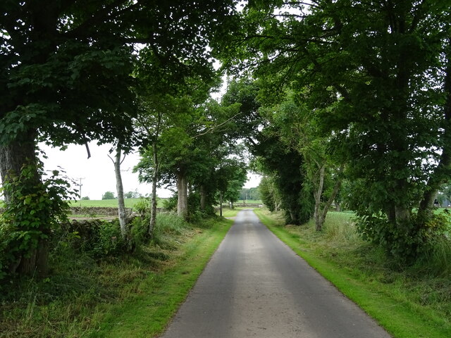
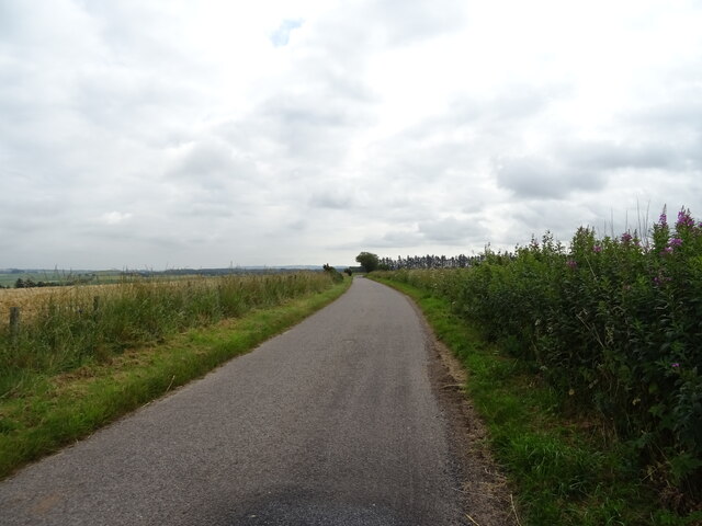
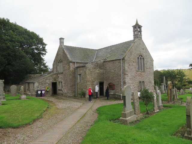
Doo'cot Wood is crisscrossed by several well-maintained trails, allowing visitors to explore its beauty at their own pace. One of the most notable trails is the Doo'cot Trail, a circular route that takes visitors through the heart of the wood, passing by a historic doo'cot (dovecote) that dates back to the 18th century. The doo'cot was once used to house pigeons, which were hunted for food.
The wood offers stunning vistas of the surrounding Angus Glens, with its rolling hills and rugged landscapes. It is also home to a number of small streams and waterfalls, adding to its natural charm.
Doo'cot Wood is managed by the Forestry and Land Scotland, ensuring its preservation and protection for future generations. It is accessible year-round and provides a peaceful and tranquil escape for those seeking a break from the hustle and bustle of everyday life.
If you have any feedback on the listing, please let us know in the comments section below.
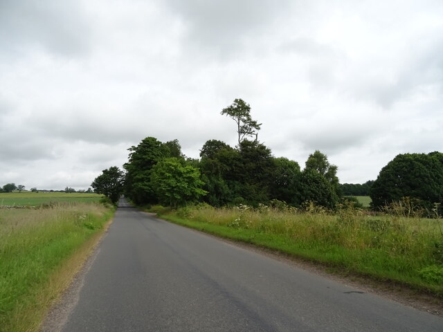
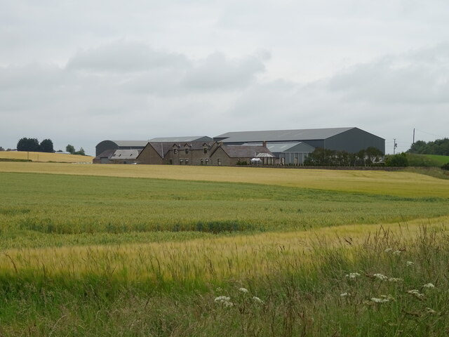
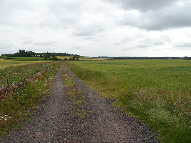
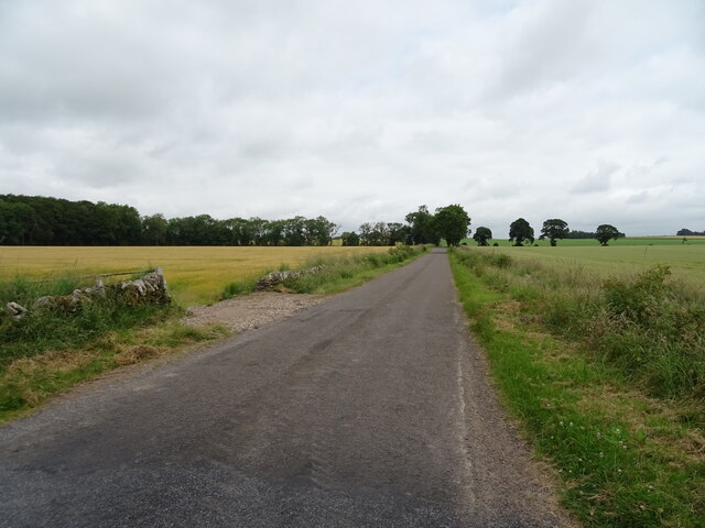
Doo'cot Wood Images
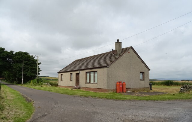
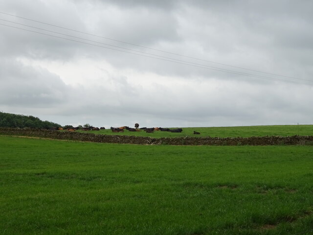
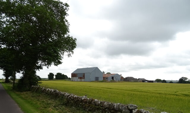
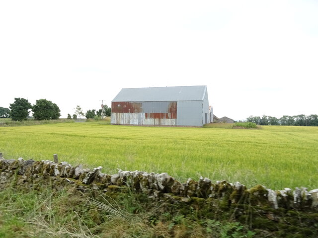
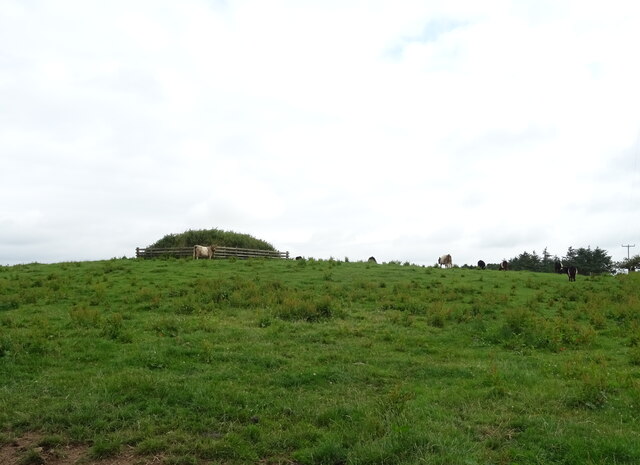
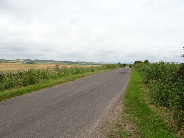
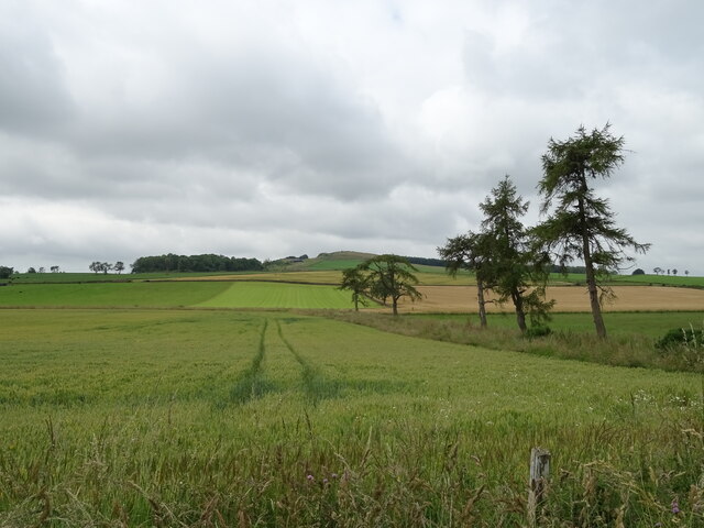
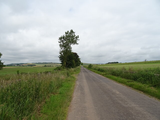
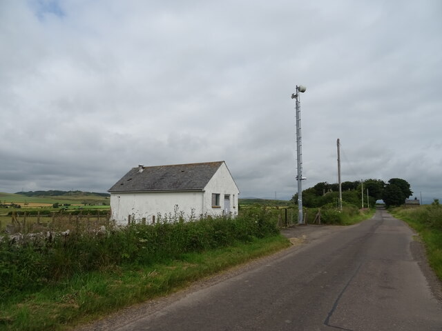
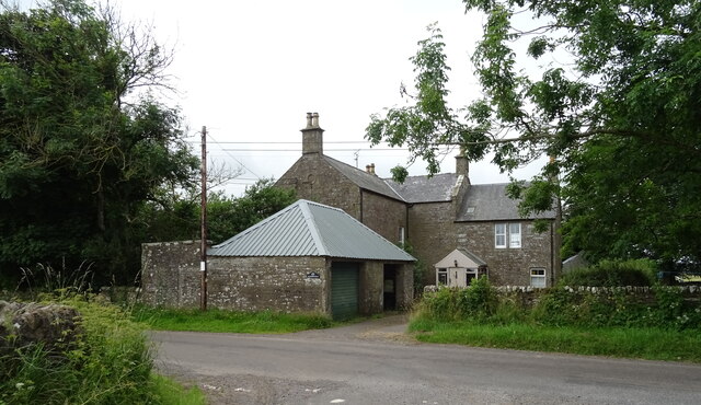
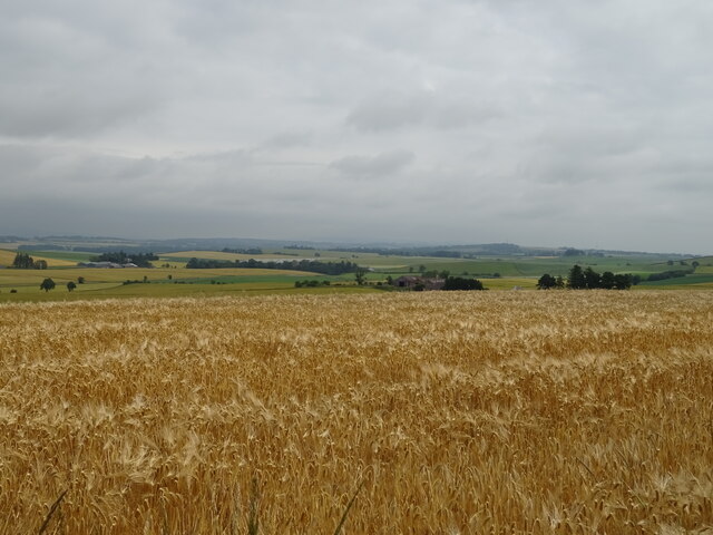
Images are sourced within 2km of 56.672362/-2.7806849 or Grid Reference NO5253. Thanks to Geograph Open Source API. All images are credited.
Doo'cot Wood is located at Grid Ref: NO5253 (Lat: 56.672362, Lng: -2.7806849)
Unitary Authority: Angus
Police Authority: Tayside
What 3 Words
///compliant.poetry.proudest. Near Letham, Angus
Nearby Locations
Related Wikis

Aberlemno Sculptured Stones
The Aberlemno Sculptured Stones are a series of Pictish standing stones originating in and around the village of Aberlemno, Angus, Scotland. Three are...

Rescobie Loch
Rescobie Loch is a post glacial fresh water body located in the parish of Rescobie, 4 km (2.5 mi) to the East of Forfar, in the county of Angus, Scotland...

Aberlemno
Aberlemno (Scottish Gaelic: Obar Leamhnach, IPA:[ˈopəɾˈʎɛunəx]) is a parish and small village in the Scottish council area of Angus. It is noted for three...

Auldbar Road railway station
Auldbar Road railway station was located near the town of Guthrie in the Scottish county of Angus. == History == Opened by the Arbroath and Forfar Railway...
Nearby Amenities
Located within 500m of 56.672362,-2.7806849Have you been to Doo'cot Wood?
Leave your review of Doo'cot Wood below (or comments, questions and feedback).