Bog Wood
Wood, Forest in Angus
Scotland
Bog Wood
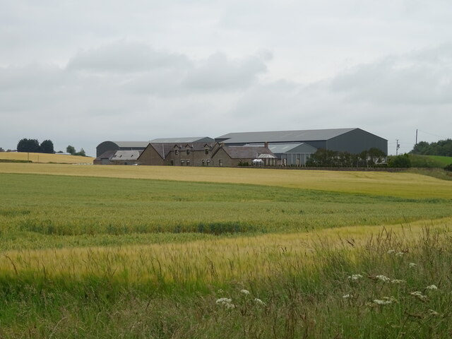
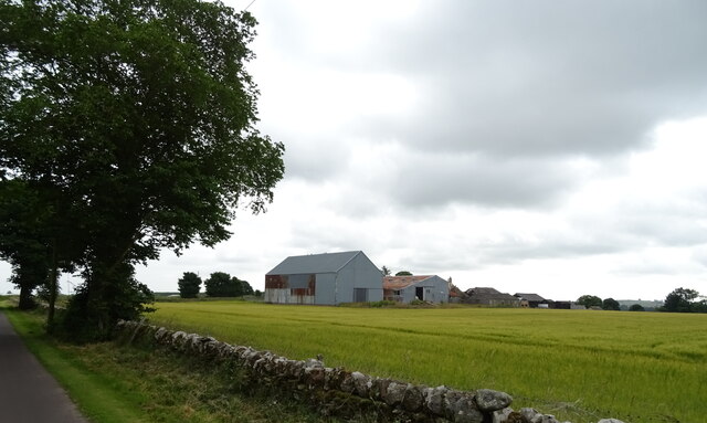
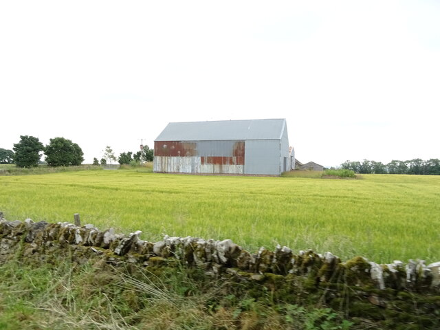
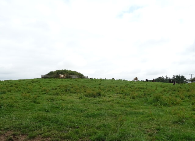
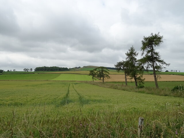
Bog Wood, Angus is a forest located in the county of Angus, Scotland. It covers an area of approximately 200 acres and is known for its unique landscape and ecological significance. The forest is situated in a low-lying, boggy area, which has contributed to its name.
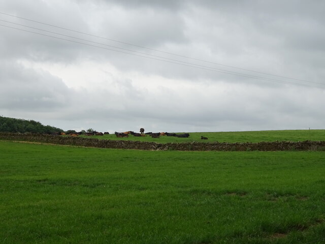
The predominant feature of Bog Wood is the extensive wetland habitat that it offers. The area is characterized by peat bogs, marshes, and small lochs, which provide a haven for a diverse range of plant and animal species. The wetland environment supports a variety of rare and protected species, including several species of orchids, insectivorous plants, and dragonflies.
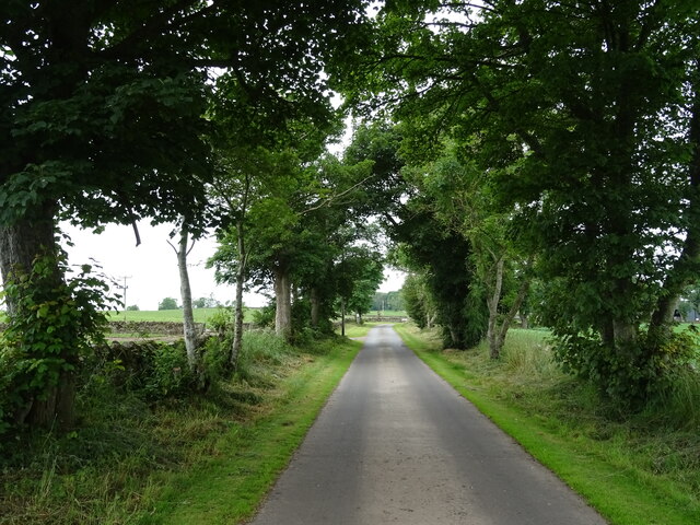
The forest itself consists mainly of native deciduous trees, such as birch, willow, and alder. These trees thrive in the wet conditions and provide a rich habitat for numerous bird species, including woodpeckers and warblers. The forest also attracts mammals such as otters and badgers, which take advantage of the abundant food and shelter resources.
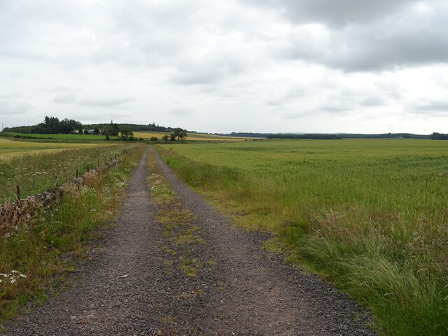
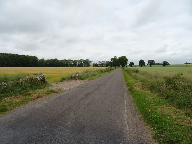
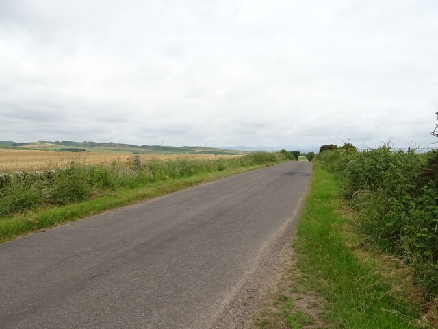
Bog Wood is a popular destination for nature enthusiasts and birdwatchers, who come to explore the diverse flora and fauna of the area. There are several designated walking trails and observation points throughout the forest, allowing visitors to immerse themselves in the natural beauty and tranquility of the surroundings.
In addition to its ecological importance, Bog Wood also holds historical significance. Archaeological surveys have revealed the presence of ancient settlements and artifacts, indicating human occupation in the area dating back thousands of years. This makes the forest an intriguing destination for those interested in both nature and history.
If you have any feedback on the listing, please let us know in the comments section below.
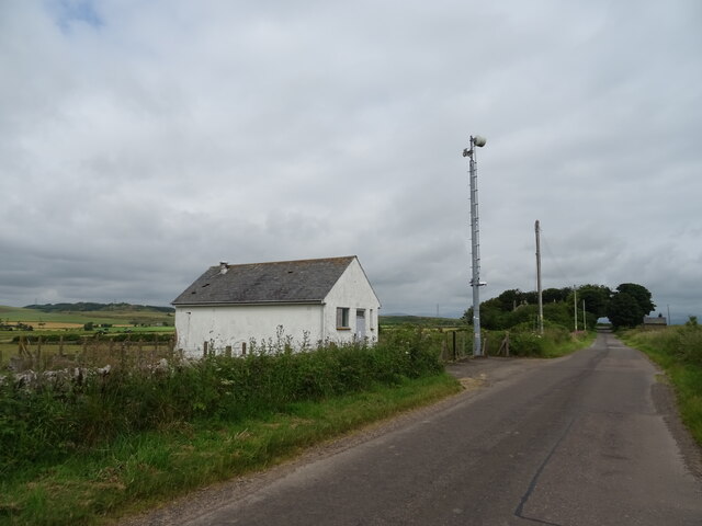
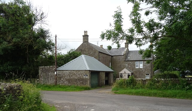
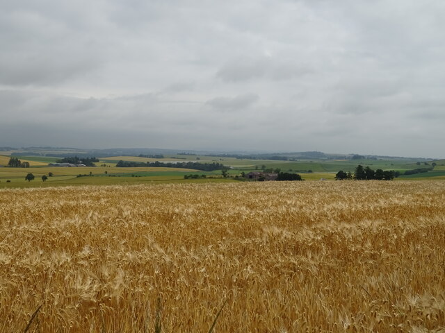
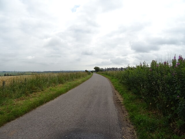
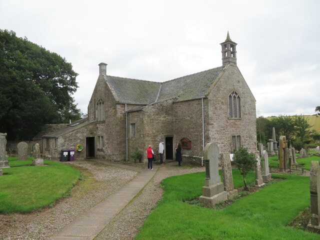
Bog Wood Images
Images are sourced within 2km of 56.674379/-2.7843658 or Grid Reference NO5253. Thanks to Geograph Open Source API. All images are credited.
Bog Wood is located at Grid Ref: NO5253 (Lat: 56.674379, Lng: -2.7843658)
Unitary Authority: Angus
Police Authority: Tayside
What 3 Words
///shredding.otters.harvest. Near Letham, Angus
Nearby Locations
Related Wikis

Aberlemno Sculptured Stones
The Aberlemno Sculptured Stones are a series of Pictish standing stones originating in and around the village of Aberlemno, Angus, Scotland. Three are...

Aberlemno
Aberlemno (Scottish Gaelic: Obar Leamhnach, IPA:[ˈopəɾˈʎɛunəx]) is a parish and small village in the Scottish council area of Angus. It is noted for three...

Rescobie Loch
Rescobie Loch is a post glacial fresh water body located in the parish of Rescobie, 4 km (2.5 mi) to the East of Forfar, in the county of Angus, Scotland...

Clocksbriggs railway station
Clocksbriggs railway station served the town of Forfar, Angus, Scotland from 1848 to 1964 on the Arbroath and Forfar Railway. == History == The station...
Nearby Amenities
Located within 500m of 56.674379,-2.7843658Have you been to Bog Wood?
Leave your review of Bog Wood below (or comments, questions and feedback).