Willsteeds Wood

Wood, Forest in Angus

Scotland

Willsteeds Wood

Grazing near Tilliwhanland
Grazing near Tilliwhanland Credit: JThomas

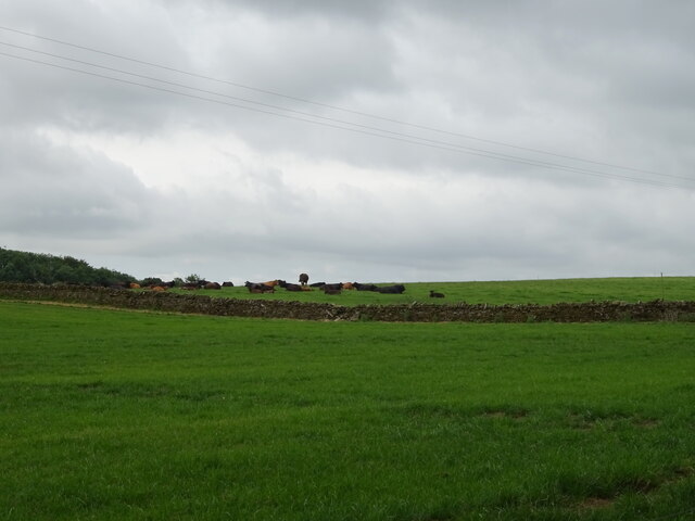
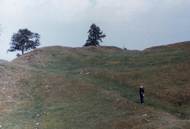
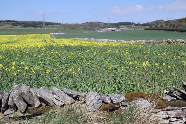
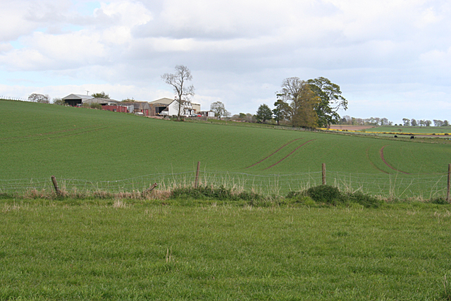
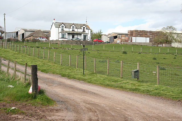
Willsteeds Wood is a picturesque forest located in the Angus region of Scotland. Covering an area of approximately 100 acres, this woodland is known for its diverse ecosystem and rich biodiversity. The wood is situated near the village of Angus, providing easy access for nature enthusiasts and visitors.

The forest boasts a wide variety of tree species, including Scots pine, oak, birch, and beech, which create a dense canopy that provides shelter and habitat for numerous wildlife species. The woodland floor is adorned with a carpet of ferns, bluebells, and wildflowers during the spring and summer months.

Willsteeds Wood is home to a plethora of wildlife, making it an ideal spot for wildlife observation and birdwatching. Visitors may spot red squirrels, roe deer, badgers, and if they are lucky, even the elusive pine marten. The forest is also a haven for bird species such as woodpeckers, owls, and various songbirds.

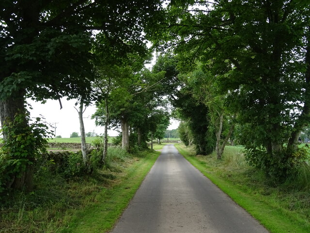
A network of well-maintained trails and paths wind through the wood, allowing visitors to explore the beauty of the forest. These paths are suitable for both leisurely strolls and more adventurous hikes. Interpretive signage is scattered throughout the wood, providing information about the flora, fauna, and history of the area.

Willsteeds Wood is a cherished natural treasure in Angus, offering a tranquil and serene environment for nature lovers. Whether one seeks a peaceful retreat, wants to immerse themselves in the beauty of nature, or simply wishes to enjoy a leisurely walk, this enchanting forest is sure to captivate visitors with its beauty and allure.

If you have any feedback on the listing, please let us know in the comments section below.

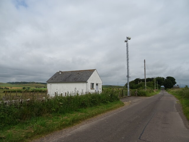
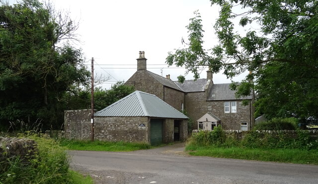
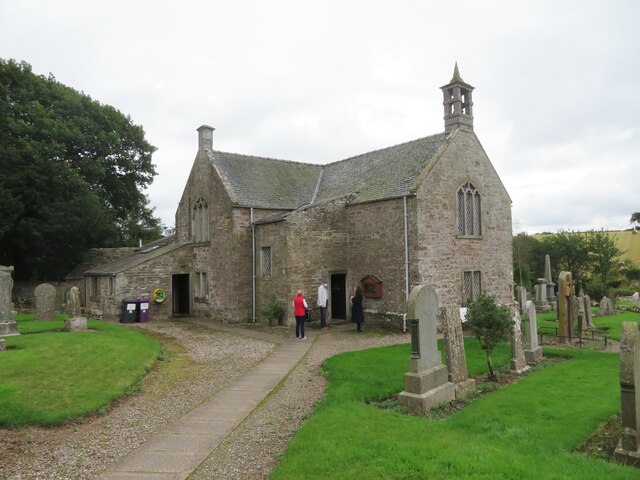
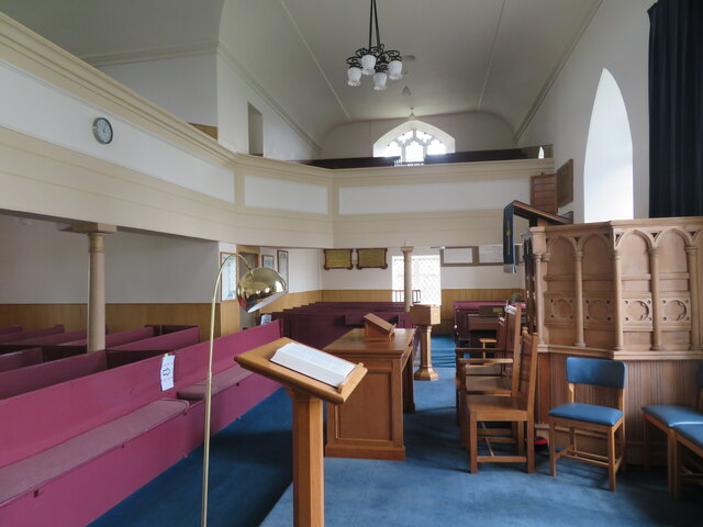
Willsteeds Wood Images

Images are sourced within 2km of 56.676576/-2.8018089 or Grid Reference NO5054. Thanks to Geograph Open Source API. All images are credited.
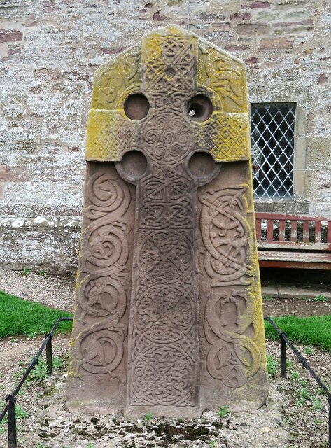
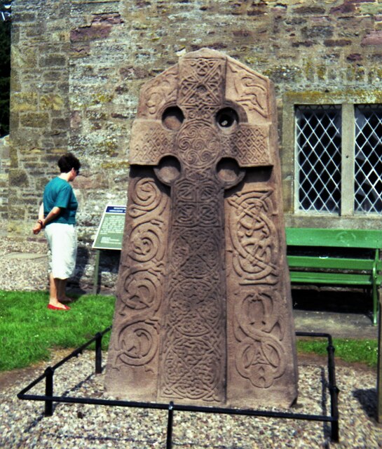
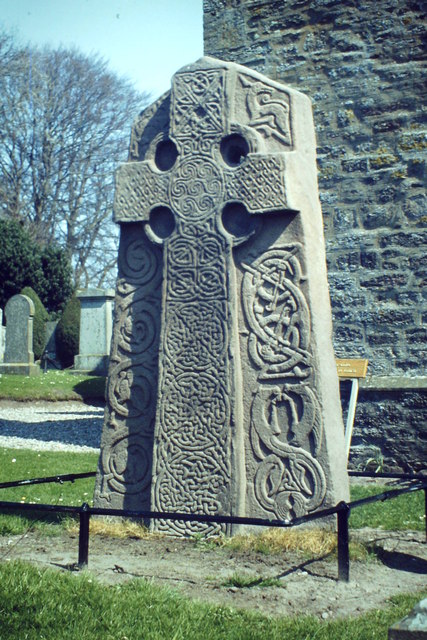
Grazing near Tilliwhanland
Road to Tilliwhanland Farm Nicely surfaced.
Road to Tilliwhanland Farm
Nicely surfaced.
Cereal crop beside drain near Tilliwhanland
Minor road towards Aberlemno
Telephone Exchange near Aberlemno
Mansfield House near Aberlemno.
Mansfield
House near Aberlemno.
Sunday morning at Aberlemno Kirk The first worshippers are arriving for the Sunday morning service at this Church of Scotland kirk which dates from 1722 and probably stands on or near the same site as an earlier church.
Sunday morning at Aberlemno Kirk
The first worshippers are arriving for the Sunday morning service at this Church of Scotland kirk which dates from 1722 and probably stands on or near the same site as an earlier church.
Aberlemno Kirk - interior I'm no expert on Scottish churches, but this does seem to have the typical Church of Scotland 'T' plan layout with pews facing a preacher. A nicely kept building dating from 1722.
Aberlemno Kirk - interior
I'm no expert on Scottish churches, but this does seem to have the typical Church of Scotland 'T' plan layout with pews facing a preacher. A nicely kept building dating from 1722.
Pictish cross slab, Aberlemno churchyard This superb carved stone is rated as one of the finest of its type in Europe. Research suggests that it dates from the 9thC and shows a Celtic style cross on this side. The hole in the top right of the cross may have been made at some point in the medieval period when the stone was dragged here from another site nearby.
Pictish cross slab, Aberlemno churchyard
This superb carved stone is rated as one of the finest of its type in Europe. Research suggests that it dates from the 9thC and shows a Celtic style cross on this side. The hole in the top right of the cross may have been made at some point in the medieval period when the stone was dragged here from another site nearby.
Pictish cross slab [reverse] at Aberlemno churchyard The carvings on this side are thought to represent the battle of Dun Nechtan [aka. Nechtansmere] that took place in AD685 between Pictish forces led by Brude MacBeli and those of King Ecgfrith of Northumbria. A Pictish victory ensured that there would be no northward expansion of Northumbria. Apart from the soldiers engaged in battle, there is one, either wounded or dead being pecked by a raven [bottom RH corner]
Pictish cross slab [reverse] at Aberlemno churchyard
The carvings on this side are thought to represent the battle of Dun Nechtan [aka. Nechtansmere] that took place in AD685 between Pictish forces led by Brude MacBeli and those of King Ecgfrith of Northumbria. A Pictish victory ensured that there would be no northward expansion of Northumbria. Apart from the soldiers engaged in battle, there is one, either wounded or dead being pecked by a raven [bottom RH corner]
Cross Slab by Church in 1992 View from west
Cross Slab by Church in 1992
View from west
Carsegownie from the B9134 Looking to the farm buildings at Carsegownie from the roadside of the B9134.
Carsegownie from the B9134
Looking to the farm buildings at Carsegownie from the roadside of the B9134.
From the slopes of Hill of Finavon This view north over Strathmore is taken from the eastward extension of the Hill of Finavon.   The foothills of the Grampians can be seen beyond Strathmore.
From the slopes of Hill of Finavon
This view north over Strathmore is taken from the eastward extension of the Hill of Finavon. The foothills of the Grampians can be seen beyond Strathmore.
The fort on Finavon Hill The rocks that form the walls had been "welded" together by heat in a process of vitrification - although it is uncertain this was by accident or design
The fort on Finavon Hill
The rocks that form the walls had been "welded" together by heat in a process of vitrification - although it is uncertain this was by accident or design
View of farmland looking towards Carsegownie Farm The picture was taken looking northwards from the Forfar / Aberlemno Road (B9134).
View of farmland looking towards Carsegownie Farm
The picture was taken looking northwards from the Forfar / Aberlemno Road (B9134).
Cross Slab, Aberlemno The Pictish Kirkyard Stone, Aberlemno 2, located by the historic kirk. This face carries a Celtic Cross and intricate stonework carved into the Old Red Sandstone.
<span class="nowrap"><a title="http://en.wikipedia.org/wiki/Aberlemno_Sculptured_Stones" rel="nofollow ugc noopener" href="http://en.wikipedia.org/wiki/Aberlemno_Sculptured_Stones">Link</a><img style="margin-left:2px;" alt="External link" title="External link - shift click to open in new window" src="https://s1.geograph.org.uk/img/external.png" width="10" height="10"/></span>
Cross Slab, Aberlemno
The Pictish Kirkyard Stone, Aberlemno 2, located by the historic kirk. This face carries a Celtic Cross and intricate stonework carved into the Old Red Sandstone. LinkExternal link
Drimmie Farm Viewed from near the parish kirk. A substantial farm on good arable land, set just up the slope from Rescobie Loch.
Drimmie Farm
Viewed from near the parish kirk. A substantial farm on good arable land, set just up the slope from Rescobie Loch.
Drimmie from the B9113 The farm house and buildings are sited a little way uphill from the B9113 which follows the north shore of Rescobie Loch.
Drimmie from the B9113
The farm house and buildings are sited a little way uphill from the B9113 which follows the north shore of Rescobie Loch.
Show me another place!

Willsteeds Wood is located at Grid Ref: NO5054 (Lat: 56.676576, Lng: -2.8018089)

Unitary Authority: Angus

Police Authority: Tayside

What 3 Words

///forwarded.masterpiece.mincing. Near Letham, Angus

Related Wikis

Aberlemno Sculptured Stones

The Aberlemno Sculptured Stones are a series of Pictish standing stones originating in and around the village of Aberlemno, Angus, Scotland. Three are...

Aberlemno

Aberlemno (Scottish Gaelic: Obar Leamhnach, IPA:[ˈopəɾˈʎɛunəx]) is a parish and small village in the Scottish council area of Angus. It is noted for three...

Rescobie Loch

Rescobie Loch is a post glacial fresh water body located in the parish of Rescobie, 4 km (2.5 mi) to the East of Forfar, in the county of Angus, Scotland...

Clocksbriggs railway station

Clocksbriggs railway station served the town of Forfar, Angus, Scotland from 1848 to 1964 on the Arbroath and Forfar Railway. == History == The station...

Finavon Castle

Finavon Castle lies on the River South Esk, about a quarter of a mile south of Milton of Finavon village and five miles to the north-east of Forfar in...

Milton of Finavon

Milton of Finavon is a hamlet in Angus, Scotland that lies adjacent to the A90 road on its southern side by the River South Esk. It is approximately 5...

Loch Fithie

Loch Fithie is a small, lowland freshwater loch lying approximately 2 miles (3.2 km) east of Forfar, Scotland. It is approximately 800 m (2,600 ft) in...

Finavon

Finavon is a small settlement in Angus, Scotland. Its Ordnance Survey grid reference is NO4957. == References ==

Nearby Amenities

Located within 500m of 56.676576,-2.8018089
Power: pole
Lat/Long: 56.6788818/-2.7953238
The data included in this document is from www.openstreetmap.org. The data is made available under ODbL.

Have you been to Willsteeds Wood?

Leave your review of Willsteeds Wood below (or comments, questions and feedback).