Carsegownie
Settlement in Angus
Scotland
Carsegownie
Carsegownie is a small village located in the county of Angus, Scotland. Situated near the eastern coast of the country, it is nestled amidst picturesque countryside and rich agricultural land. The village is located approximately 3 miles southwest of the town of Montrose and enjoys close proximity to the North Sea.
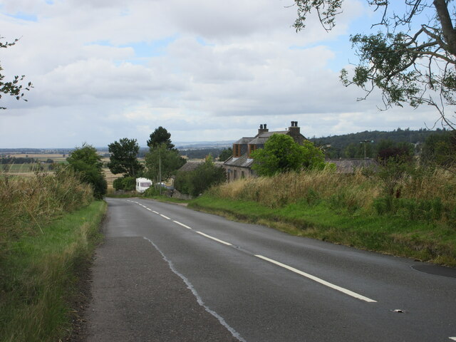
Carsegownie is known for its peaceful and rural setting, offering residents and visitors a tranquil escape from the hustle and bustle of city life. The village is characterized by its charming, traditional stone-built houses and well-maintained gardens. It has a small population, fostering a close-knit and friendly community.
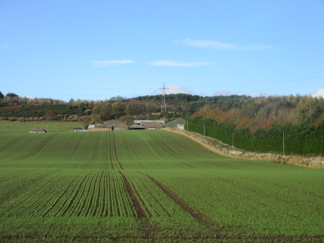
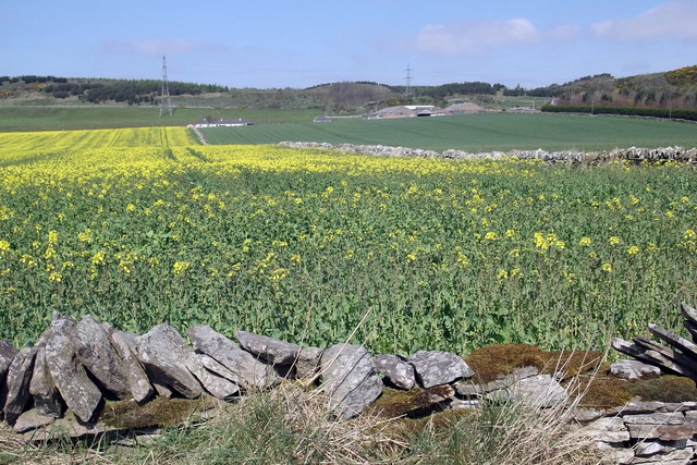
The surrounding area is dominated by farmland, which contributes to the village's economy and agricultural heritage. The fertile soil supports a variety of crops, including cereals, potatoes, and vegetables. Additionally, livestock farming, such as the rearing of cattle and sheep, is also prevalent in the region.
Despite its small size, Carsegownie benefits from its proximity to larger towns and cities. Montrose, with its amenities and services, is easily accessible, providing residents with convenient access to shops, schools, and medical facilities.
The village also offers recreational opportunities for outdoor enthusiasts. The nearby Montrose Basin Nature Reserve is a haven for birdwatchers and nature lovers, providing a habitat for a wide range of bird species. The stunning coastline is perfect for scenic walks and picnics, with beautiful sandy beaches nearby.
Overall, Carsegownie is a charming Scottish village that offers a peaceful and idyllic lifestyle, surrounded by natural beauty and agricultural landscapes.
If you have any feedback on the listing, please let us know in the comments section below.
Carsegownie Images
Images are sourced within 2km of 56.675072/-2.8175744 or Grid Reference NO5054. Thanks to Geograph Open Source API. All images are credited.
![Strathmore: NW view to Grampians from Hill of Finavon, 1988 In far distance on the left is [probably]? Ben Tirran (2,860 ft.) north of Glen Clova, with White Hill (2,544 ft.) nearer and in the middle the Lethnot &amp; Navar district (Dog Hilloch, 2,369 ft.) and on the right Hill of Wirren (2,109 ft.). (Cf. <a href="https://www.geograph.org.uk/photo/3418">NO5055 : Strathmore from Finavon Hill</a> and <a href="https://www.geograph.org.uk/photo/148491">NO5055 : Vale of Strathmore from Finavon Hill</a>).](https://s1.geograph.org.uk/geophotos/04/28/05/4280597_88ed52e7.jpg)


Carsegownie is located at Grid Ref: NO5054 (Lat: 56.675072, Lng: -2.8175744)
Unitary Authority: Angus
Police Authority: Tayside
What 3 Words
///manage.scouted.uttering. Near Forfar, Angus
Nearby Locations
Related Wikis

Clocksbriggs railway station
Clocksbriggs railway station served the town of Forfar, Angus, Scotland from 1848 to 1964 on the Arbroath and Forfar Railway. == History == The station...
Finavon Castle
Finavon Castle lies on the River South Esk, about a quarter of a mile south of Milton of Finavon village and five miles to the north-east of Forfar in...

Rescobie Loch
Rescobie Loch is a post glacial fresh water body located in the parish of Rescobie, 4 km (2.5 mi) to the East of Forfar, in the county of Angus, Scotland...

Aberlemno Sculptured Stones
The Aberlemno Sculptured Stones are a series of Pictish standing stones originating in and around the village of Aberlemno, Angus, Scotland. Three are...

Aberlemno
Aberlemno (Scottish Gaelic: Obar Leamhnach, IPA:[ˈopəɾˈʎɛunəx]) is a parish and small village in the Scottish council area of Angus. It is noted for three...
Loch Fithie
Loch Fithie is a small, lowland freshwater loch lying approximately 2 miles (3.2 km) east of Forfar, Scotland. It is approximately 800 m (2,600 ft) in...

Restenneth Priory
Restenneth Priory was a monastic house of Augustinian canons founded by Jedburgh Abbey, with the patronage of King Malcolm IV of Scotland, in 1153. Although...
Milton of Finavon
Milton of Finavon is a hamlet in Angus, Scotland that lies adjacent to the A90 road on its southern side by the River South Esk. It is approximately 5...
Have you been to Carsegownie?
Leave your review of Carsegownie below (or comments, questions and feedback).