Muirfield South Strip

Wood, Forest in Roxburghshire

Scotland

Muirfield South Strip

Groundistone Moss Dawn on the A7 with an old alignment of the road in the foreground.
Groundistone Moss Credit: Richard Webb

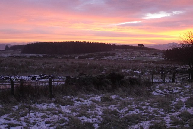
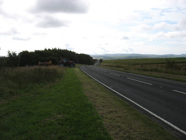
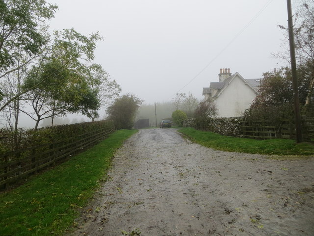
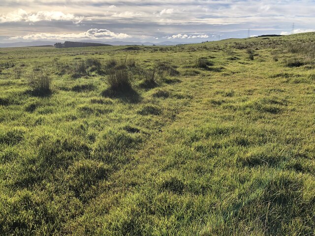
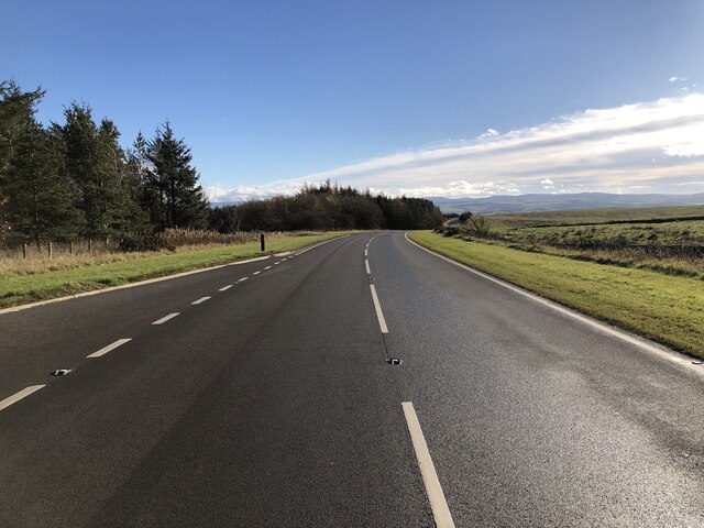
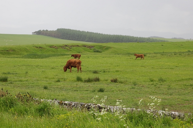
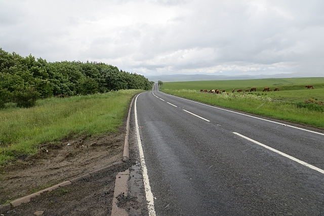
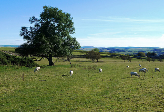
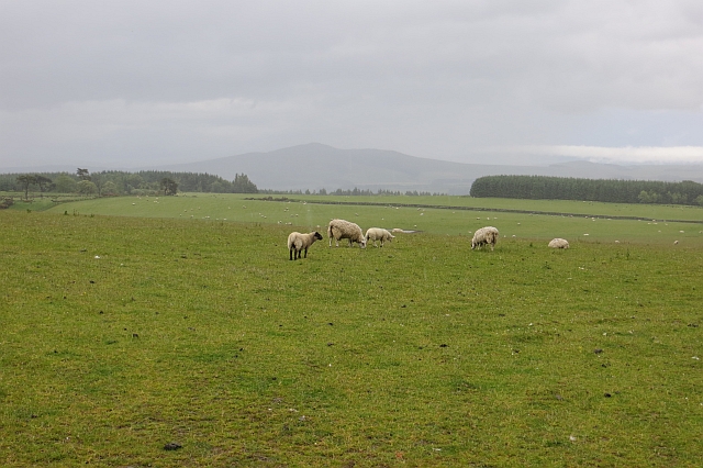
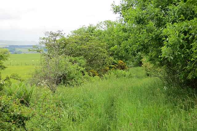
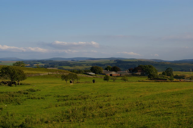
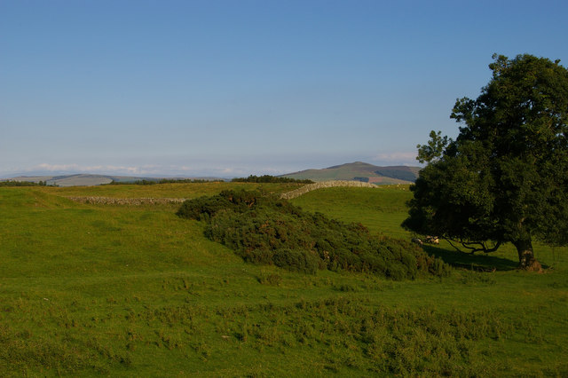
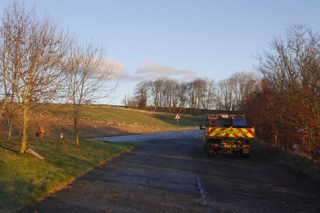
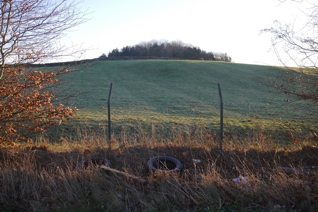
Muirfield South Strip, located in Roxburghshire, Scotland, is a picturesque woodland area known for its abundant natural beauty and lush forests. Spanning over a vast expanse, this enchanting wood covers an area of approximately 200 acres.

The woodland is predominantly composed of a variety of tree species, including oak, beech, and pine trees, creating a diverse and captivating environment for both visitors and local wildlife. The dense canopy of the trees provides a cool and serene atmosphere, making it an ideal destination for nature lovers and outdoor enthusiasts.

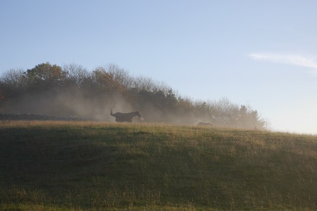
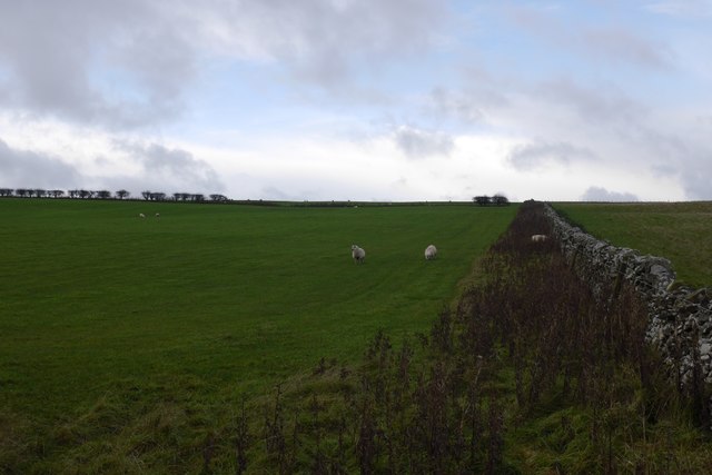
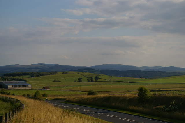
Muirfield South Strip offers a range of recreational activities for visitors to enjoy. There are numerous hiking trails that wind their way through the woodland, allowing visitors to explore the area and admire its stunning scenery. These trails cater to all levels of fitness and provide an opportunity to spot local wildlife, such as deer, squirrels, and various bird species.

Furthermore, the woodland is a popular spot for camping and picnicking. With its peaceful ambiance and well-maintained facilities, it offers a tranquil escape from the hustle and bustle of daily life. It is not uncommon to see families and groups of friends enjoying a picnic amidst the towering trees or setting up camp in designated areas.

Muirfield South Strip is a true gem in Roxburghshire, offering a serene escape into nature. It is a place where one can immerse themselves in the beauty of the woodlands, appreciate the diverse ecosystem, and create lasting memories in this idyllic setting.

If you have any feedback on the listing, please let us know in the comments section below.

Muirfield South Strip Images

Images are sourced within 2km of 55.470745/-2.7773542 or Grid Reference NT5019. Thanks to Geograph Open Source API. All images are credited.

Groundistone Moss Dawn on the A7 with an old alignment of the road in the foreground.
Groundistone Moss
Dawn on the A7 with an old alignment of the road in the foreground.
The A7 heading for Hawick
Track at Muirfield Looking westward.
Track at Muirfield
Looking westward.
Rough pasture, Groundistone Moss
A7 A high and sometimes rather snowy (I used to commute on this road) road between Selkirk and Hawick. It has been much improved and it is actually possible to overtake in places.
A7
A high and sometimes rather snowy (I used to commute on this road) road between Selkirk and Hawick. It has been much improved and it is actually possible to overtake in places.
Running calves, Groundistone Moss Grazing land seen from beside the A7.
Running calves, Groundistone Moss
Grazing land seen from beside the A7.
A7, Groundistone Moss The road has been straightened out here. This high level stretch between Hawick and Selkirk is notorious for snow.
A7, Groundistone Moss
The road has been straightened out here. This high level stretch between Hawick and Selkirk is notorious for snow.
Border View Grazing land between Selkirk and Hawick, with the distant Cheviot Hills on the horizon.
Border View
Grazing land between Selkirk and Hawick, with the distant Cheviot Hills on the horizon.
Hallywell Hill View past grazing sheep and through rain towards Hallywell Hill from the road to Muirfield.
Hallywell Hill
View past grazing sheep and through rain towards Hallywell Hill from the road to Muirfield.
Track, Muirfield Waymarked as the Hawick Circular Ride, but little sign of recent use. There were some old baked hoofprints probably dating back to the run up to the Common Rides, but the vegetation is firmly in control now.
Track, Muirfield
Waymarked as the Hawick Circular Ride, but little sign of recent use. There were some old baked hoofprints probably dating back to the run up to the Common Rides, but the vegetation is firmly in control now.
A cool morning A horse gets up after a roll on an anticyclonic morning.
A cool morning
A horse gets up after a roll on an anticyclonic morning.
Sheep and dyke Pasture north of Hawick.
Sheep and dyke
Pasture north of Hawick.
View south from the A7 layby north of Newton The farm in the middle distance is at Newton, in <a href="https://www.geograph.org.uk/gridref/NT5017">NT5017</a>.
View south from the A7 layby north of Newton
The farm in the middle distance is at Newton, in NT5017.
The A7 north of Hawick The farm in the middle distance is at Newton, in <a href="https://www.geograph.org.uk/gridref/NT5017">NT5017</a>.
The A7 north of Hawick
The farm in the middle distance is at Newton, in NT5017.
Field by the A7 north of Newton
Sunrise, Groundistone Moss A Sun pillar above Rubers Law - resulting from ice crystals in the air.

This is not a geograph - too close to the gridline and too dark. Unfortunately it does not fit anymore. I intend to get it correctly classified when the site is repaired.
Sunrise, Groundistone Moss
A Sun pillar above Rubers Law - resulting from ice crystals in the air. This is not a geograph - too close to the gridline and too dark. Unfortunately it does not fit anymore. I intend to get it correctly classified when the site is repaired.
A7 layby north of Hawick Just up the hill from Newton.
A7 layby north of Hawick
Just up the hill from Newton.
Dumped tyres, A7 The protective fence at the layby needs to be a bit higher - the scumbags can chuck tyres over.
Dumped tyres, A7
The protective fence at the layby needs to be a bit higher - the scumbags can chuck tyres over.
Show me another place!

Muirfield South Strip is located at Grid Ref: NT5019 (Lat: 55.470745, Lng: -2.7773542)

Unitary Authority: The Scottish Borders

Police Authority: The Lothians and Scottish Borders

What 3 Words

///rope.divisible.hazel. Near Hawick, Scottish Borders

Related Wikis

Bowismiln

Bowismiln is a village in the Scottish Borders area of Scotland. == See also == List of places in the Scottish Borders List of places in Scotland ��2...

Appletreehall

Appletreehall is a village in the Scottish Borders area of Scotland, 2 miles (3 kilometres) north-east of Hawick, in the historic county of Roxburghshire...

Hassendean, Scottish Borders

Hassendean is a hamlet in the Scottish Borders south of Edinburgh, Scotland. The stream is the Hassendean Burn which flows down to the River Teviot 5 miles...

Hassendean railway station

Hassendean railway station served the village of Hassendean, Scottish Borders, Scotland from 1850 to 1969 on the Waverley Route. == History == The station...

Nearby Amenities

Located within 500m of 55.470745,-2.7773542
Muirfield
Place: hamlet
Lat/Long: 55.4739073/-2.7719188
The data included in this document is from www.openstreetmap.org. The data is made available under ODbL.

Have you been to Muirfield South Strip?

Leave your review of Muirfield South Strip below (or comments, questions and feedback).