Hallywell Hill

Hill, Mountain in Roxburghshire

Scotland

Hallywell Hill

Groundistone Moss Dawn on the A7 with an old alignment of the road in the foreground.
Groundistone Moss Credit: Richard Webb

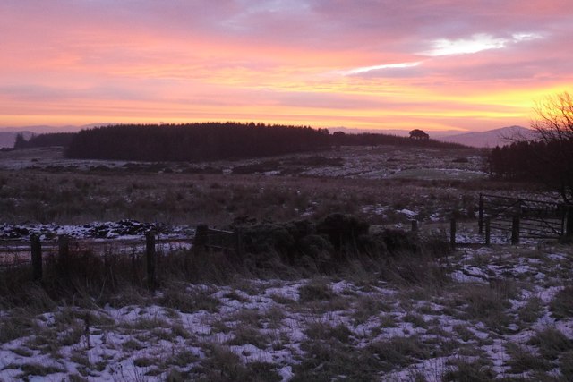
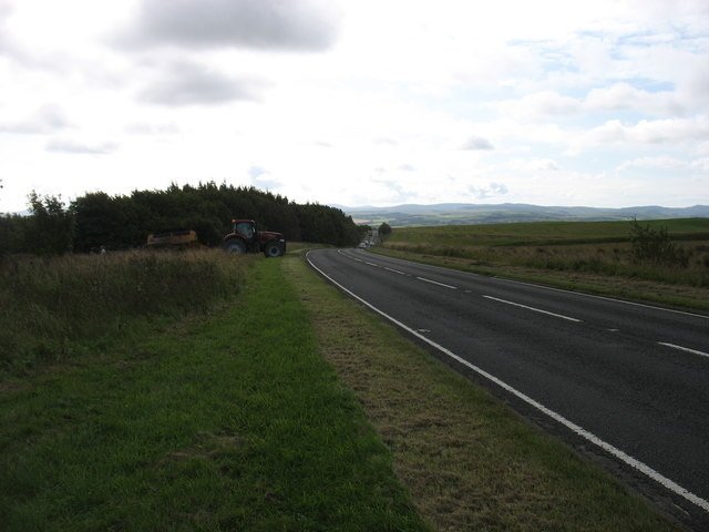
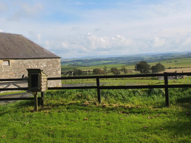
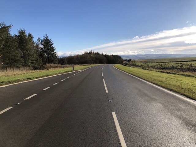
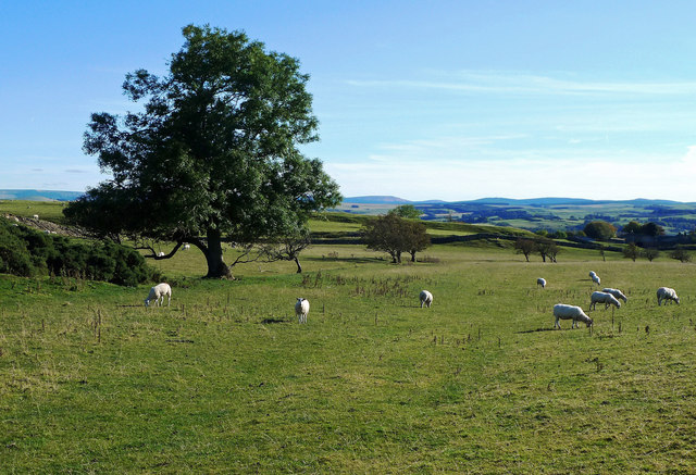
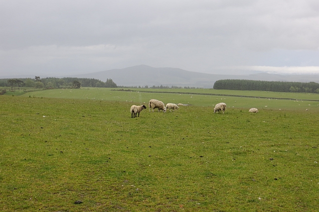
Hallywell Hill is a prominent hill located in Roxburghshire, a historic county in the Scottish Borders region of Scotland. With an elevation of approximately 301 meters (988 feet), it stands as a notable landmark in the area. Situated near the village of Morebattle, Hallywell Hill offers stunning panoramic views of the surrounding countryside and the Cheviot Hills to the south.

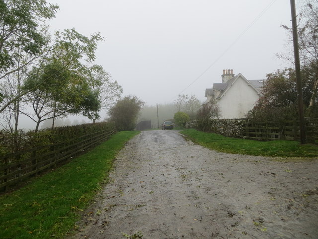
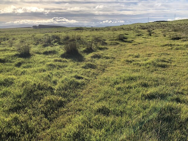
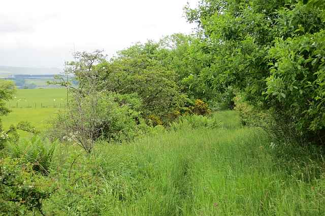
The hill is covered in a mixture of grass and heather, creating a beautiful and diverse landscape. It is a popular destination for hikers and nature enthusiasts, offering various walking trails that cater to all levels of experience. One of the most well-known routes is the circular walk from Morebattle, which takes visitors through the picturesque countryside and up to the summit of Hallywell Hill.

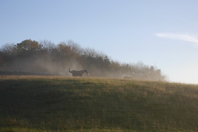
At the top of the hill, there is a small cairn where walkers can rest and admire the breathtaking scenery. On clear days, it is possible to see as far as the Eildon Hills and the Scottish Borders. The hill is also home to a variety of wildlife, including birds of prey such as buzzards and kestrels.

Hallywell Hill holds historical significance as well, with evidence of ancient settlements in the area. Archaeological remains, including Bronze Age burial cairns, have been discovered on the hill, adding to its cultural and historical value.

Overall, Hallywell Hill is a captivating natural feature that offers visitors a chance to immerse themselves in the beauty of Roxburghshire's countryside while enjoying breathtaking views and exploring its rich history.

If you have any feedback on the listing, please let us know in the comments section below.

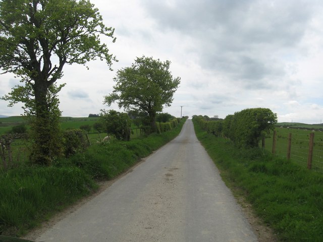
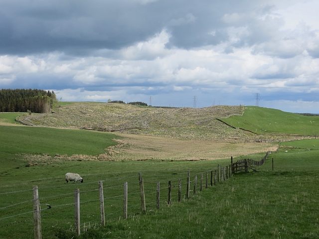
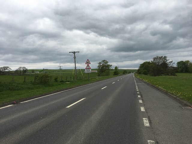
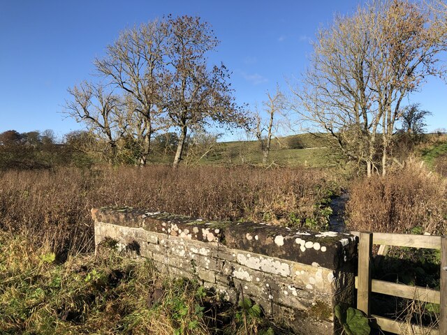
Hallywell Hill Images

Images are sourced within 2km of 55.466239/-2.7822004 or Grid Reference NT5019. Thanks to Geograph Open Source API. All images are credited.

Groundistone Moss Dawn on the A7 with an old alignment of the road in the foreground.
Groundistone Moss
Dawn on the A7 with an old alignment of the road in the foreground.
The A7 heading for Hawick
Teviotdale from West Boonraw An extensive view over Hawick and beyond.
Teviotdale from West Boonraw
An extensive view over Hawick and beyond.
Track at Muirfield Looking westward.
Track at Muirfield
Looking westward.
Rough pasture, Groundistone Moss
A7 A high and sometimes rather snowy (I used to commute on this road) road between Selkirk and Hawick. It has been much improved and it is actually possible to overtake in places.
A7
A high and sometimes rather snowy (I used to commute on this road) road between Selkirk and Hawick. It has been much improved and it is actually possible to overtake in places.
Power line near Drinkstone Hill A 132 kV line that runs northwards towards Melrose.
Power line near Drinkstone Hill
A 132 kV line that runs northwards towards Melrose.
Running calves, Groundistone Moss Grazing land seen from beside the A7.
Running calves, Groundistone Moss
Grazing land seen from beside the A7.
A7, Groundistone Moss The road has been straightened out here. This high level stretch between Hawick and Selkirk is notorious for snow.
A7, Groundistone Moss
The road has been straightened out here. This high level stretch between Hawick and Selkirk is notorious for snow.
Single track road heading away from West Boonraw North of Hawick in Roxburghshire.
Single track road heading away from West Boonraw
North of Hawick in Roxburghshire.
Groundistone Covert Recently clear felled and probably replanted by now. There has been woodland on this site since before the Ordnance Survey first came this way, in contrast to Ashkirk Hill which is largely a new plantation.
Groundistone Covert
Recently clear felled and probably replanted by now. There has been woodland on this site since before the Ordnance Survey first came this way, in contrast to Ashkirk Hill which is largely a new plantation.
A7 north of Hawick
A7 north of Hawick
Boonraw Burn A road bridge over the burn.
Boonraw Burn
A road bridge over the burn.
Border View Grazing land between Selkirk and Hawick, with the distant Cheviot Hills on the horizon.
Border View
Grazing land between Selkirk and Hawick, with the distant Cheviot Hills on the horizon.
Hallywell Hill View past grazing sheep and through rain towards Hallywell Hill from the road to Muirfield.
Hallywell Hill
View past grazing sheep and through rain towards Hallywell Hill from the road to Muirfield.
Track, Muirfield Waymarked as the Hawick Circular Ride, but little sign of recent use. There were some old baked hoofprints probably dating back to the run up to the Common Rides, but the vegetation is firmly in control now.
Track, Muirfield
Waymarked as the Hawick Circular Ride, but little sign of recent use. There were some old baked hoofprints probably dating back to the run up to the Common Rides, but the vegetation is firmly in control now.
A cool morning A horse gets up after a roll on an anticyclonic morning.
A cool morning
A horse gets up after a roll on an anticyclonic morning.
A7, Newton About to descend into foggy Teviotdale in anticyclonic conditions.
A7, Newton
About to descend into foggy Teviotdale in anticyclonic conditions.
Show me another place!

Hallywell Hill is located at Grid Ref: NT5019 (Lat: 55.466239, Lng: -2.7822004)

Unitary Authority: The Scottish Borders

Police Authority: The Lothians and Scottish Borders

What 3 Words

///across.mass.nicknames. Near Hawick, Scottish Borders

Related Wikis

Bowismiln

Bowismiln is a village in the Scottish Borders area of Scotland. == See also == List of places in the Scottish Borders List of places in Scotland ��2...

Appletreehall

Appletreehall is a village in the Scottish Borders area of Scotland, 2 miles (3 kilometres) north-east of Hawick, in the historic county of Roxburghshire...

Burnfoot, Hawick

Burnfoot (Scottish Gaelic: Bun na h-Aibhne, Scots: Burnfit) is a housing estate just east of the A7, in the northern part of Hawick, by the Boonraw Burn...

Stirches

Stirches is an area of Hawick in the Scottish Borders, mostly consisting of ex-council housing built in 1973. It is often considered to be one of the more...

Nearby Amenities

Located within 500m of 55.466239,-2.7822004
Natural: peak
Lat/Long: 55.4687115/-2.7883291
Barrier: cattle_grid
Lat/Long: 55.469357/-2.786117
The data included in this document is from www.openstreetmap.org. The data is made available under ODbL.

Have you been to Hallywell Hill?

Leave your review of Hallywell Hill below (or comments, questions and feedback).