Clarilawmuir Plantation
Wood, Forest in Roxburghshire
Scotland
Clarilawmuir Plantation
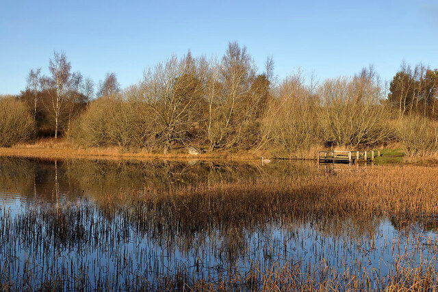
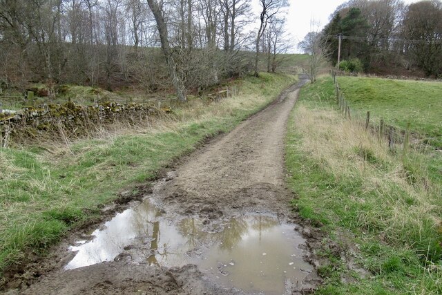
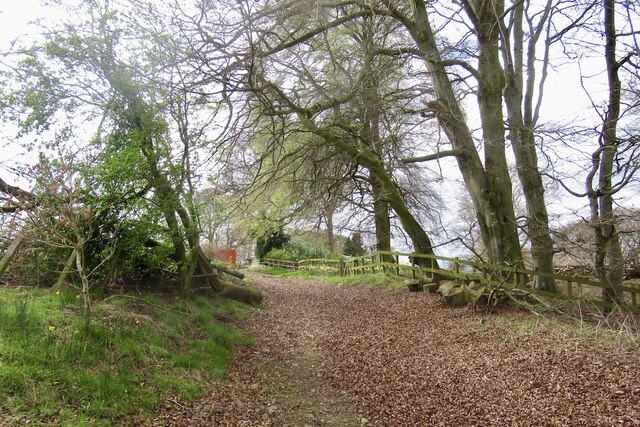
Clarilawmuir Plantation is a sprawling woodland located in Roxburghshire, a historic county in the southern region of Scotland. Spanning over a vast area, the plantation is a haven for nature enthusiasts and wildlife lovers alike.
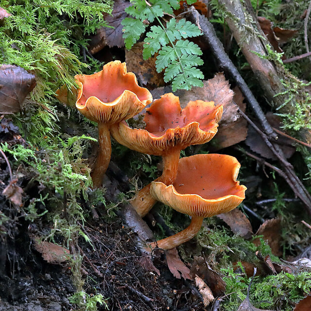
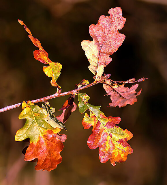
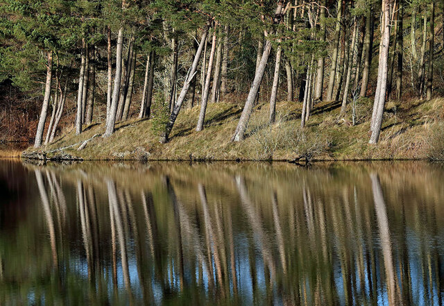
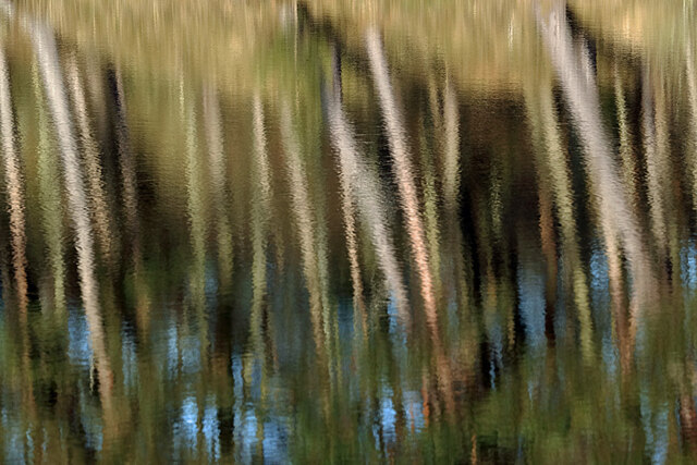
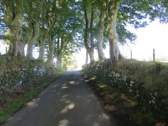
The plantation features a diverse range of tree species, including towering Scots pines, oak, birch, and beech trees. The lush forest floor is adorned with a vibrant carpet of ferns, mosses, and wildflowers, creating a picturesque setting. The dense foliage provides ample shade and protection for a variety of animal species that call Clarilawmuir home.
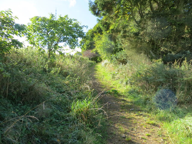
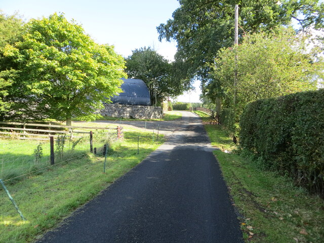
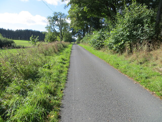
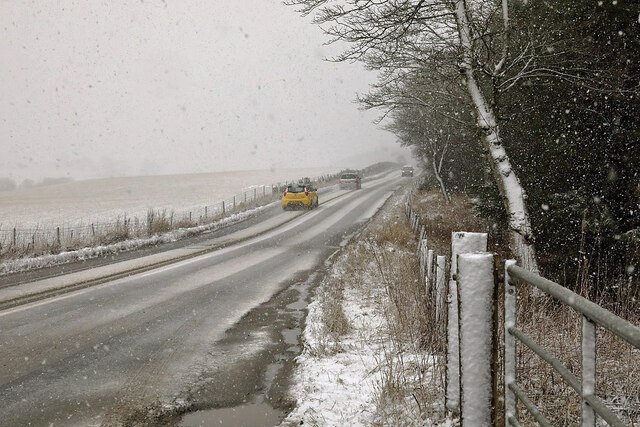
One of the main attractions of the plantation is its extensive network of walking trails, which wind through the woodland, offering visitors the opportunity to explore the natural beauty of the area. These trails are well-maintained and cater to all levels of fitness, providing a pleasant and accessible experience for all.
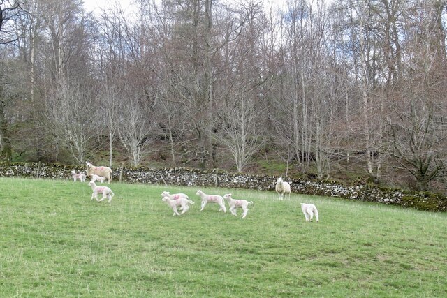
Clarilawmuir Plantation is also home to a rich diversity of wildlife. Birdwatchers will delight in the chance to spot various species, including woodpeckers, owls, and songbirds. Small mammals such as rabbits, squirrels, and badgers can be spotted scurrying through the underbrush, while deer and foxes roam the woodland in search of food.
The plantation is not only a place of natural beauty but also plays an important role in the local ecosystem. Its trees act as carbon sinks, helping to mitigate climate change, while also providing a vital habitat for countless species.
In conclusion, Clarilawmuir Plantation in Roxburghshire is a magnificent woodland, offering visitors a chance to immerse themselves in the tranquility of nature. Whether walking along its trails or observing its diverse wildlife, the plantation provides an unforgettable experience for all who venture within its boundaries.
If you have any feedback on the listing, please let us know in the comments section below.
Clarilawmuir Plantation Images
Images are sourced within 2km of 55.545657/-2.778975 or Grid Reference NT5028. Thanks to Geograph Open Source API. All images are credited.
Clarilawmuir Plantation is located at Grid Ref: NT5028 (Lat: 55.545657, Lng: -2.778975)
Unitary Authority: The Scottish Borders
Police Authority: The Lothians and Scottish Borders
What 3 Words
///patrolled.tabloid.opposites. Near Selkirk, Scottish Borders
Nearby Locations
Related Wikis

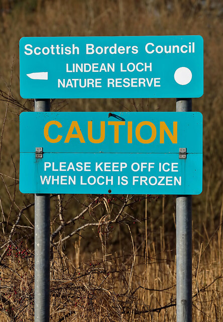
Selkirk transmitting station
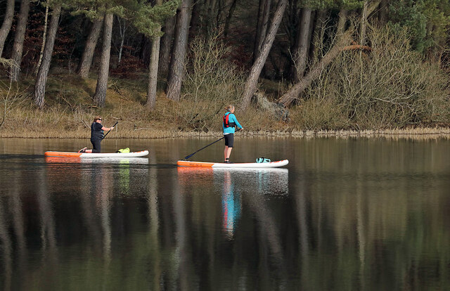
The Selkirk transmitting station is a telecommunications facility located next to Lindean Loch, near Selkirk in the Scottish Borders. It includes a 229...

Lindean
Lindean is a village north of Selkirk and the Ettrick Water, in the Scottish Borders area of Scotland. In 1590 the parishioners of Lindean had permission...
Lothian and Borders
Lothian and Borders is an area in Scotland consisting of the East Lothian, City of Edinburgh, Midlothian, West Lothian council areas (collectively known...
Bridgelands
Bridgelands is a village and an 18th-century house in the Scottish Borders area of Scotland, in the parish of Selkirk. Sir Henry Raeburn's wife came from...
Castle Holydean
Holydean Castle (pronounced "hollydeen") was a castle sited near Melrose in Bowden, 1.25 miles SW of the village, in the Scottish Borders region of Scotland...
Selkirk High School
Selkirk High School is a high school in Selkirk, Scotland, which serves the town and its surrounding area including the Ettrick and Yarrow valleys and...

Selkirk, Scottish Borders
Selkirk is a town and historic royal burgh in the Scottish Borders council district of southeastern Scotland. It lies on the Ettrick Water, a tributary...
Lindean railway station
Lindean railway station served the village of Lindean, Scottish Borders, Scotland, from 1856 to 1964 on the Selkirk and Galashiels Railway. == History... ==
Related Videos


TRAVEL GUIDE NORTHUMBERLAND: Where to stay & which places to visit (Part 1)
TRAVEL GUIDE NORTHUMBERLAND: Where to stay & which places to visit (Part 1)// Hello lovely people, We are so happy to ...

A Two-Pie Walk in the Scottish Borders
A hike on part of the Cross Borders Drove Road in the Scottish Borders. This twelve-and-a-half mile trek takes us from Peebles to ...
Nearby Amenities
Located within 500m of 55.545657,-2.778975Have you been to Clarilawmuir Plantation?
Leave your review of Clarilawmuir Plantation below (or comments, questions and feedback).