Hummelknowecleuch Plantation
Wood, Forest in Roxburghshire
Scotland
Hummelknowecleuch Plantation
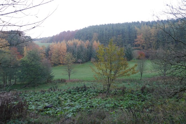
Hummelknowecleuch Plantation is a picturesque woodland located in Roxburghshire, a historic county in the Scottish Borders region of Scotland. Spanning over a vast area, the plantation is renowned for its dense forest and diverse range of tree species.
The woodland consists mainly of native trees, including oak, beech, and birch, which thrive in the fertile soil and favorable climate of the region. The plantation also boasts a rich understory of shrubs and wildflowers, offering a vibrant and enchanting atmosphere for visitors.
Hummelknowecleuch Plantation is not only a haven for nature enthusiasts but also serves as an important habitat for various wildlife species. The dense forest provides shelter and food for a wide range of animals, including red squirrels, roe deer, and various bird species. Birdwatchers can spot woodpeckers, owls, and numerous other feathered residents in the area.
For outdoor enthusiasts, the plantation offers a network of well-maintained trails and paths, allowing visitors to explore the woodland at their own pace. Whether on foot or by bicycle, visitors can immerse themselves in the natural beauty of the plantation while enjoying the fresh air and tranquil surroundings.
In addition to its natural beauty, Hummelknowecleuch Plantation has historical significance. It was once part of a larger estate and has witnessed centuries of human activity, leaving behind remnants of old walls and ruins that add an intriguing element to the woodland's atmosphere.
Overall, Hummelknowecleuch Plantation is a captivating destination for nature lovers and history enthusiasts alike. Its lush forest, diverse wildlife, and scenic trails make it a must-visit location in Roxburghshire, offering a tranquil retreat for those seeking solace in the wonders of nature.
If you have any feedback on the listing, please let us know in the comments section below.
Hummelknowecleuch Plantation Images
Images are sourced within 2km of 55.407909/-2.7770674 or Grid Reference NT5012. Thanks to Geograph Open Source API. All images are credited.


Hummelknowecleuch Plantation is located at Grid Ref: NT5012 (Lat: 55.407909, Lng: -2.7770674)
Unitary Authority: The Scottish Borders
Police Authority: The Lothians and Scottish Borders
What 3 Words
///slave.aquatics.include. Near Hawick, Scottish Borders
Nearby Locations
Related Wikis

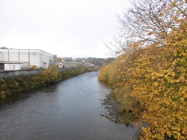
Slitrig Water
Slitrig Water (archaic Scots: Slitterick Waiter; current Southern Scots: Slitrig Witter), also known as the River Slitrig, is a river in the Scottish Borders...

Hawick
Hawick ( HOYK; Scots: Haaick; Scottish Gaelic: Hamhaig) is a town in the Scottish Borders council area and historic county of Roxburghshire in the east...

Hawick Town Hall
Hawick Town Hall is a municipal building in the High Street, Hawick, Scotland. The structure, which served as the meeting place of Hawick Burgh Council...

Hawick High School
Hawick High School is a non-denominational secondary school in Hawick, in the Scottish Borders. As well as serving the town, it also takes in pupils from...
Nearby Amenities
Located within 500m of 55.407909,-2.7770674Have you been to Hummelknowecleuch Plantation?
Leave your review of Hummelknowecleuch Plantation below (or comments, questions and feedback).