Loanend Plantation

Wood, Forest in Aberdeenshire

Scotland

Loanend Plantation

Elphillock Looking over the Loanhead Burn towards grassland which is just beginning to green up.
Elphillock Credit: Richard Webb

Loanend Plantation is a picturesque woodland located in the heart of Aberdeenshire, Scotland. Covering an area of approximately 100 acres, this enchanting forest is renowned for its stunning natural beauty and diverse range of flora and fauna.

The plantation is predominantly made up of native tree species such as Scots pine, birch, and oak, which create a dense canopy that provides shade and shelter for a variety of woodland creatures. The forest floor is adorned with an array of wildflowers and ferns, adding to its natural charm.

Visitors to Loanend Plantation can explore the woodland through a network of well-maintained trails, which wind their way through the trees and offer breathtaking views of the surrounding countryside. These trails cater to all levels of hiking ability, making it an accessible destination for nature enthusiasts of all ages.

The plantation is also a haven for wildlife, with numerous bird species including woodpeckers, owls, and songbirds making their homes here. Additionally, deer, squirrels, and rabbits can often be spotted amidst the trees, adding to the sense of tranquility and natural harmony.

Loanend Plantation is a popular destination for outdoor activities such as walking, birdwatching, and photography. It offers a peaceful retreat from the hustle and bustle of everyday life, allowing visitors to immerse themselves in the beauty of nature and recharge their spirits.

Overall, Loanend Plantation is a captivating woodland that showcases the natural splendor of Aberdeenshire. Its serene atmosphere and diverse ecosystem make it a must-visit destination for anyone looking to connect with nature and experience the tranquility of the Scottish countryside.

If you have any feedback on the listing, please let us know in the comments section below.

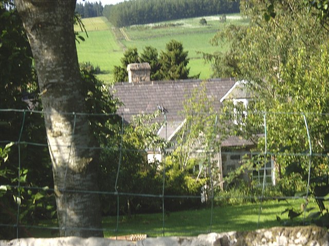
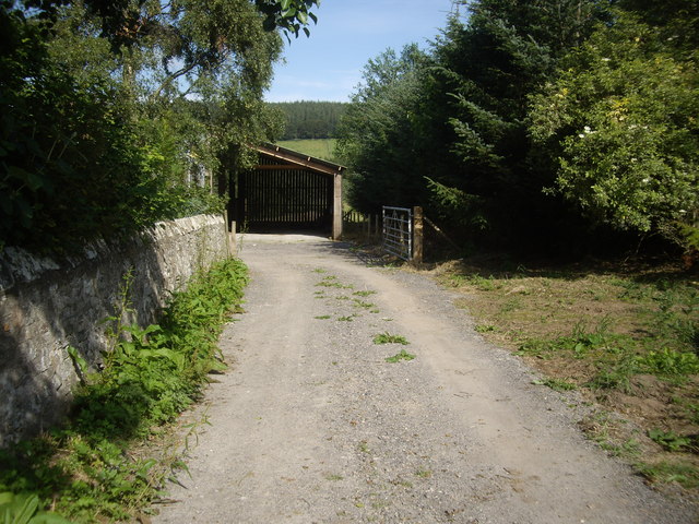
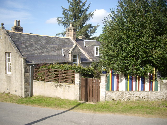
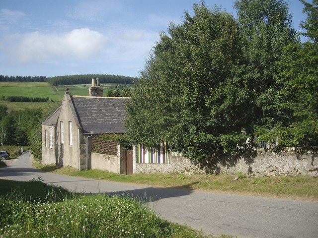
Loanend Plantation Images

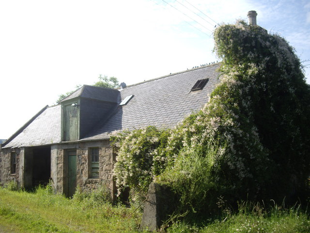
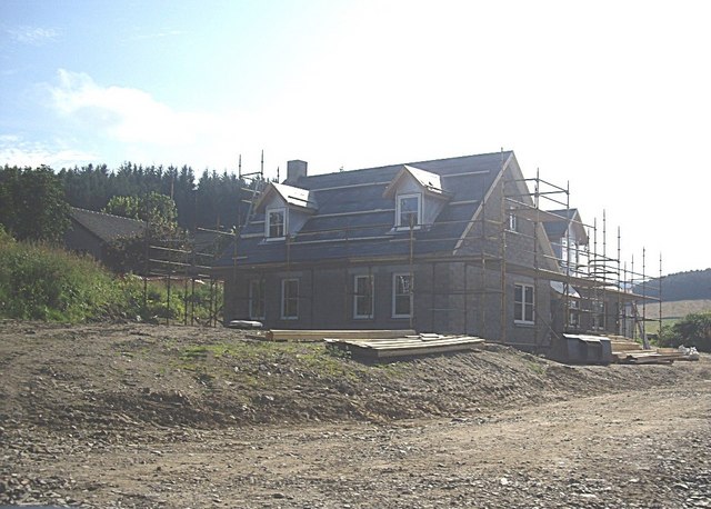
Images are sourced within 2km of 57.201267/-2.8143921 or Grid Reference NJ5012. Thanks to Geograph Open Source API. All images are credited.

Elphillock Looking over the Loanhead Burn towards grassland which is just beginning to green up.
Elphillock
Looking over the Loanhead Burn towards grassland which is just beginning to green up.
Gated track towards Wood of Bogs From a minor road near Clouden, over a coll of Cotter Hill.
Gated track towards Wood of Bogs
From a minor road near Clouden, over a coll of Cotter Hill.
Minmore Cottage On minor road between Glenkindle and Muir of Fowlis
Minmore Cottage
On minor road between Glenkindle and Muir of Fowlis
Harvest Done on Cotter Hill Bales stacked by the road to East Mains of Cairncoullie and the edge of woodland on Cotter Hill.
Harvest Done on Cotter Hill
Bales stacked by the road to East Mains of Cairncoullie and the edge of woodland on Cotter Hill.
Wood of Bogs Farmland before the Wood of Bogs near Cairncoullie.
Wood of Bogs
Farmland before the Wood of Bogs near Cairncoullie.
View over Loanhead Burn Towards Nether Minmore.
View over Loanhead Burn
Towards Nether Minmore.
Minmore Cottage By road from Towie to Loanhead summit.
Minmore Cottage
By road from Towie to Loanhead summit.
Grassland, Cottar Hill High farmland near Alford.
Grassland, Cottar Hill
High farmland near Alford.
Wood of Bogs A small Forestry Commission woodland between moor and farmland.
Wood of Bogs
A small Forestry Commission woodland between moor and farmland.
Edge of Wood of Bogs Wood of Bogs was living up to its name. There were cattle in rough grazing across a barbed wire fence and old grown out hedge.
Edge of Wood of Bogs
Wood of Bogs was living up to its name. There were cattle in rough grazing across a barbed wire fence and old grown out hedge.
Cattle, Wood of Bogs Looking out of the wood across damp pasture.
Cattle, Wood of Bogs
Looking out of the wood across damp pasture.
Track off  Coiliochbhar Hill Just above Cottar Hill.
Track off Coiliochbhar Hill
Just above Cottar Hill.
Old School House, Milton of Cushnie Seen over the garden wall.
Old School House, Milton of Cushnie
Seen over the garden wall.
A farm entrance Opposite Mains of Cushnie. Wall of the Old School House garden on the left.
A farm entrance
Opposite Mains of Cushnie. Wall of the Old School House garden on the left.
School House, Milton of Cushnie With its distinctive 'coloured pencil fence'. Note that the name slate at the extreme right has been Anglicised to 'School House' from the vernacular Scots 'Skule Hoose' seen in <a title="https://www.geograph.org.uk/photo/547615" href="https://www.geograph.org.uk/photo/547615">Link</a> of 2007.
School House, Milton of Cushnie
With its distinctive 'coloured pencil fence'. Note that the name slate at the extreme right has been Anglicised to 'School House' from the vernacular Scots 'Skule Hoose' seen in Link of 2007.
Road north through Milton of Cushnie Past the Old School House.
Road north through Milton of Cushnie
Past the Old School House.
Outhouse, Mains of Cushnie The site of a pre-migration gathering of hirundines, opposite the Old School House in Milton of Cushnie.
Outhouse, Mains of Cushnie
The site of a pre-migration gathering of hirundines, opposite the Old School House in Milton of Cushnie.
A new development by Mains of Cushnie (2011) A new house under construction opposite the Old School house in Milton of Cushnie.
A new development by Mains of Cushnie (2011)
A new house under construction opposite the Old School house in Milton of Cushnie.
Show me another place!

Loanend Plantation is located at Grid Ref: NJ5012 (Lat: 57.201267, Lng: -2.8143921)

Unitary Authority: Aberdeenshire

Police Authority: North East

What 3 Words

///explained.sharpened.roofs. Near Alford, Aberdeenshire

Nearby Locations

Loanend Plantation

Related Wikis

Cushnie Castle

Cushnie Castle was a 16th-century tower house, about 6 miles (9.7 km) south west of Alford, Aberdeenshire, Scotland, near Cushnie Burn, in the Glen of...

Marr, Scotland

Marr (Scottish Gaelic: Màrr) is one of six committee areas in Aberdeenshire, Scotland. It has a population of 34,038 (2001 Census). Someone from Marr...

Asloun Castle

Asloun Castle is a castle, formerly Z-plan, dating from the 16th century, 2 miles (3.2 km) south-west of Alford, in Aberdeenshire, Scotland, of which only...

Brux Castle

Brux Castle was a castle of the Forbeses, about 1.5 miles (2.4 km) east of Kildrummy, Aberdeenshire, Scotland, south of the river Don. The castle was...

Have you been to Loanend Plantation?

Leave your review of Loanend Plantation below (or comments, questions and feedback).