Kaim Cleuch
Valley in Roxburghshire
Scotland
Kaim Cleuch
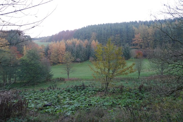
Kaim Cleuch, located in Roxburghshire, Scotland, is a picturesque valley renowned for its natural beauty and enchanting landscapes. Situated on the southern fringes of the Scottish Borders, the valley offers a tranquil and idyllic retreat for nature enthusiasts and outdoor adventurers alike.
Nestled between rolling hills and framed by the meandering Kaim Water, Kaim Cleuch is a haven for hikers and walkers. The valley boasts an extensive network of well-maintained walking trails, allowing visitors to explore its stunning terrain. From gentle strolls along the riverbank to more challenging hikes up the surrounding hills, there is something for everyone to enjoy.
The valley is also home to a diverse range of flora and fauna, attracting wildlife enthusiasts and birdwatchers. Keen observers may spot various bird species, including buzzards, pheasants, and owls, as well as rare plants such as the delicate Scottish primrose.
As visitors traverse the valley, they will come across charming stone cottages and historic ruins that offer a glimpse into the region's rich heritage. The remnants of Kaim Castle, a 16th-century tower house, stand as a testament to the area's past, adding a touch of intrigue and nostalgia to the landscape.
For those seeking a peaceful escape, Kaim Cleuch provides an ideal setting for relaxation and reflection. The tranquil atmosphere, combined with the breathtaking scenery, makes it a perfect destination for picnics, photography, or simply unwinding amidst nature's splendor.
In summary, Kaim Cleuch is a captivating valley in Roxburghshire, Scotland, offering visitors a chance to immerse themselves in the beauty of the surrounding countryside. With its diverse landscapes, abundant wildlife, and rich history, it is a place that captivates the hearts of all who venture into its embrace.
If you have any feedback on the listing, please let us know in the comments section below.
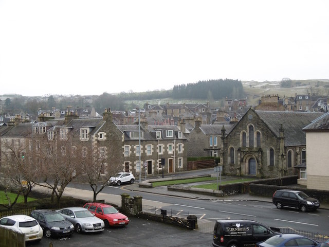
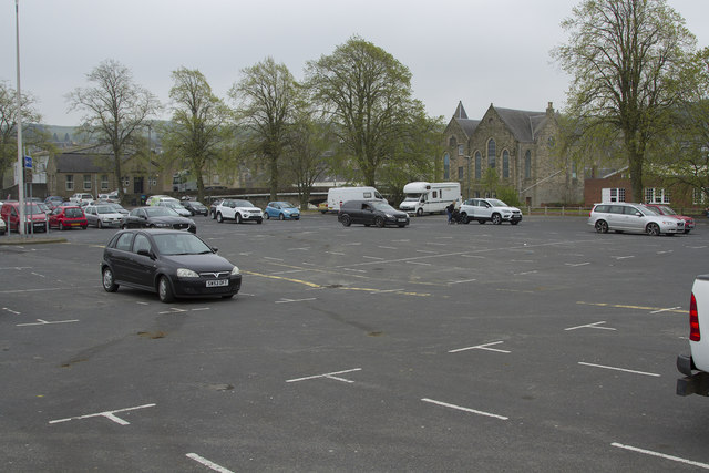
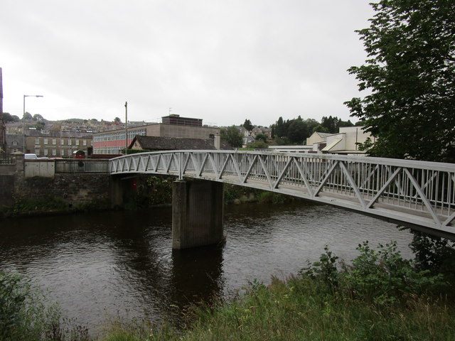
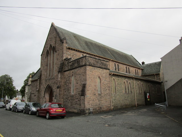
Kaim Cleuch Images
Images are sourced within 2km of 55.40775/-2.7765431 or Grid Reference NT5012. Thanks to Geograph Open Source API. All images are credited.


Kaim Cleuch is located at Grid Ref: NT5012 (Lat: 55.40775, Lng: -2.7765431)
Unitary Authority: The Scottish Borders
Police Authority: The Lothians and Scottish Borders
What 3 Words
///beauty.noble.barefoot. Near Hawick, Scottish Borders
Nearby Locations
Related Wikis

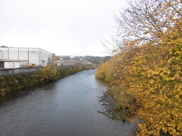
Slitrig Water
Slitrig Water (archaic Scots: Slitterick Waiter; current Southern Scots: Slitrig Witter), also known as the River Slitrig, is a river in the Scottish Borders...

Hawick
Hawick ( HOYK; Scots: Haaick; Scottish Gaelic: Hamhaig) is a town in the Scottish Borders council area and historic county of Roxburghshire in the east...

Hawick Town Hall
Hawick Town Hall is a municipal building in the High Street, Hawick, Scotland. The structure, which served as the meeting place of Hawick Burgh Council...

Hawick High School
Hawick High School is a non-denominational secondary school in Hawick, in the Scottish Borders. As well as serving the town, it also takes in pupils from...
Nearby Amenities
Located within 500m of 55.40775,-2.7765431Have you been to Kaim Cleuch?
Leave your review of Kaim Cleuch below (or comments, questions and feedback).