Curdyhaugh Moss
Downs, Moorland in Roxburghshire
Scotland
Curdyhaugh Moss
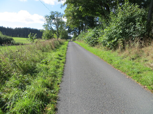
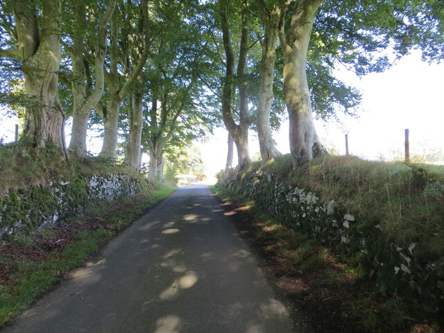
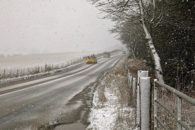
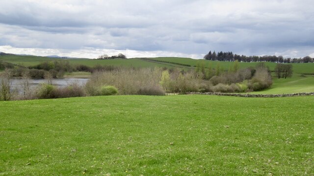
Curdyhaugh Moss is a vast expanse of downs and moorland located in the region of Roxburghshire, Scotland. Covering an area of approximately 500 acres, it is characterized by its unique landscape and diverse ecosystem. The moss is situated at an elevation of around 300 meters above sea level, providing stunning panoramic views of the surrounding countryside.
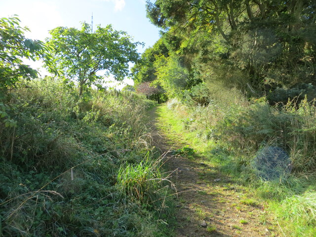
The terrain of Curdyhaugh Moss is predominantly rolling downs, covered in a thick layer of heather and grasses. This creates a vibrant and colorful landscape, particularly during the summer months when the heather blooms in shades of purple. The area is also scattered with numerous peat bogs, adding to its ecological significance.
The moss is home to a rich variety of flora and fauna, including several species of birds such as curlews, lapwings, and merlins. Additionally, it supports a range of small mammals and insects, contributing to the overall biodiversity of the region.
Curdyhaugh Moss is a popular destination for nature enthusiasts and walkers, as it offers numerous walking trails and paths that allow visitors to explore its natural beauty. The peaceful and serene atmosphere of the moss provides an ideal setting for outdoor activities such as birdwatching, photography, and picnicking.
Overall, Curdyhaugh Moss is a remarkable natural area in Roxburghshire, offering a glimpse into the diverse and stunning landscapes of Scotland. Its downs and moorland, coupled with its rich wildlife, make it a must-visit destination for nature lovers and those seeking a tranquil escape from the hustle and bustle of daily life.
If you have any feedback on the listing, please let us know in the comments section below.
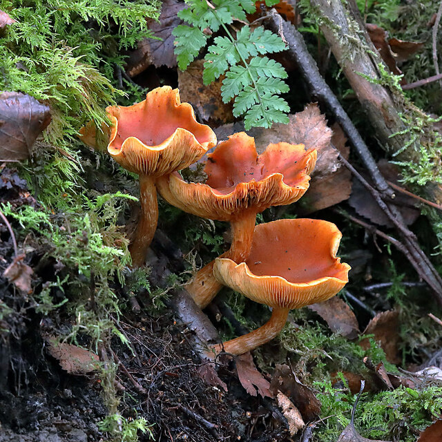
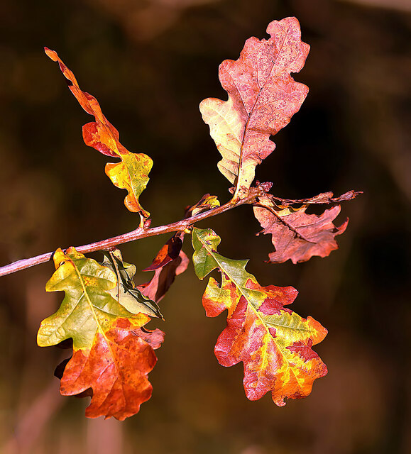
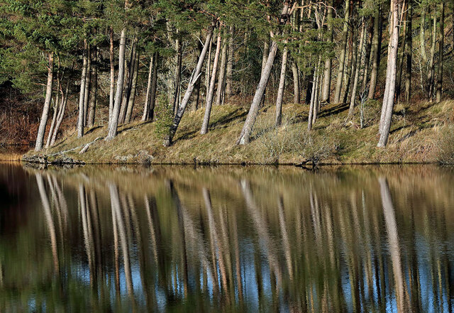
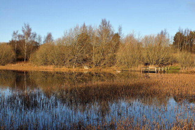
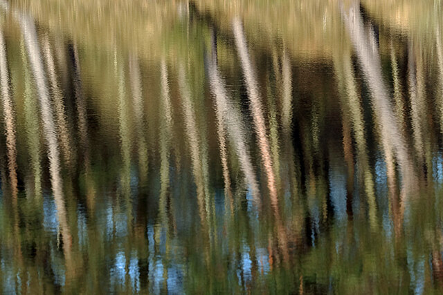
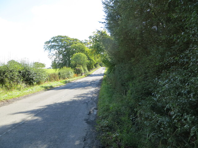
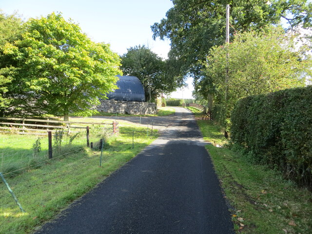
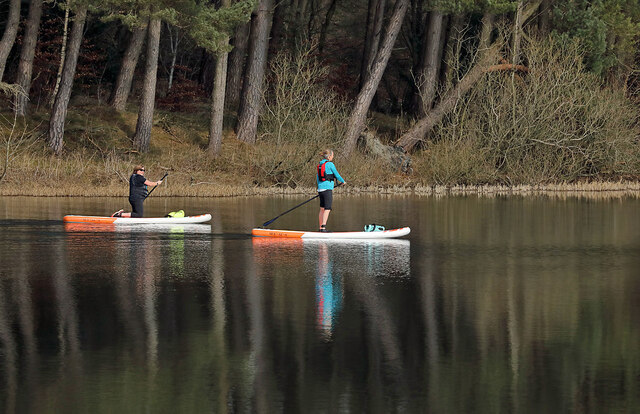
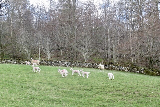
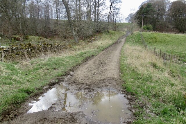
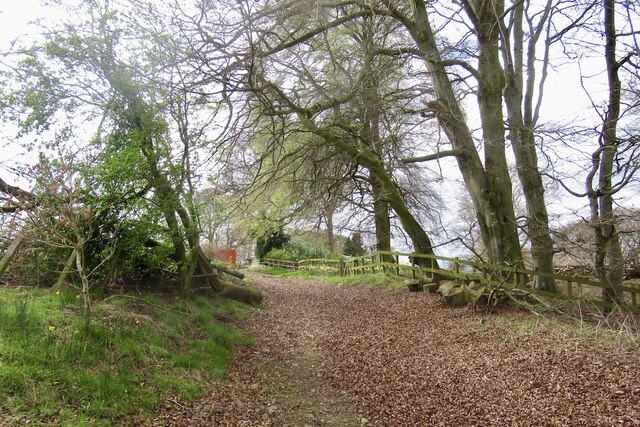
Curdyhaugh Moss Images
Images are sourced within 2km of 55.545142/-2.7850822 or Grid Reference NT5028. Thanks to Geograph Open Source API. All images are credited.
Curdyhaugh Moss is located at Grid Ref: NT5028 (Lat: 55.545142, Lng: -2.7850822)
Unitary Authority: The Scottish Borders
Police Authority: The Lothians and Scottish Borders
What 3 Words
///relished.theme.moral. Near Selkirk, Scottish Borders
Nearby Locations
Related Wikis

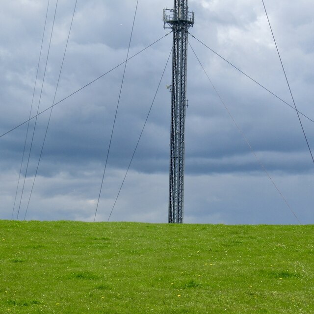
Selkirk transmitting station
The Selkirk transmitting station is a telecommunications facility located next to Lindean Loch, near Selkirk in the Scottish Borders. It includes a 229...

Lindean
Lindean is a village north of Selkirk and the Ettrick Water, in the Scottish Borders area of Scotland. In 1590 the parishioners of Lindean had permission...
Bridgelands
Bridgelands is a village and an 18th-century house in the Scottish Borders area of Scotland, in the parish of Selkirk. Sir Henry Raeburn's wife came from...
Selkirk High School
Selkirk High School is a high school in Selkirk, Scotland, which serves the town and its surrounding area including the Ettrick and Yarrow valleys and...
Have you been to Curdyhaugh Moss?
Leave your review of Curdyhaugh Moss below (or comments, questions and feedback).