Friarshawmuir Covert

Wood, Forest in Roxburghshire

Scotland

Friarshawmuir Covert

Wax cap fungi in Clarilawmuir Plantation
Wax cap fungi in Clarilawmuir Plantation Credit: Walter Baxter

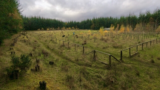
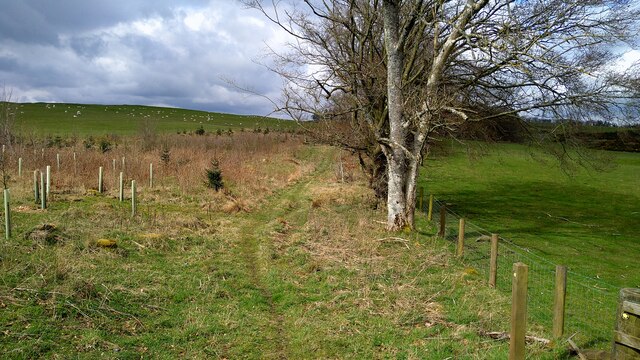
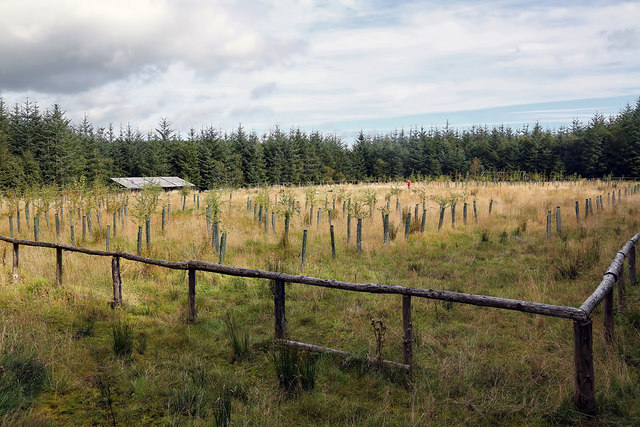
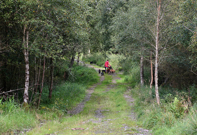
Friarshawmuir Covert is a dense woodland located in the county of Roxburghshire, Scotland. Spanning over a vast area of land, it encompasses a variety of tree species, creating a diverse and rich ecosystem. The covert is situated in a rural area, surrounded by picturesque landscapes, making it an ideal destination for nature enthusiasts and hikers.

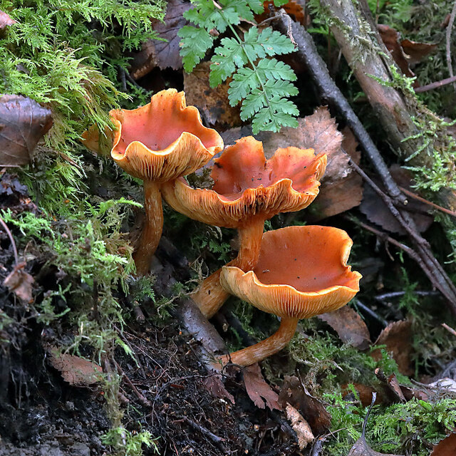
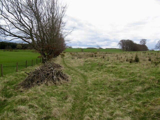
The woodland is predominantly composed of native tree species such as oak, beech, and birch. These trees form a dense canopy that provides shade and shelter for a wide range of plant and animal species. The forest floor is covered in a thick layer of leaf litter, creating a natural compost that supports the growth of various understorey plants and fungi.

Friarshawmuir Covert is home to a diverse array of wildlife. The forest provides a habitat for a variety of bird species, including woodpeckers, owls, and various songbirds. Small mammals like red squirrels, badgers, and foxes can also be spotted within the woodland. Additionally, the covert serves as a sanctuary for several species of butterflies, beetles, and other insects.

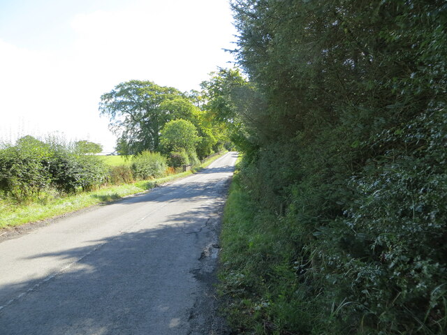
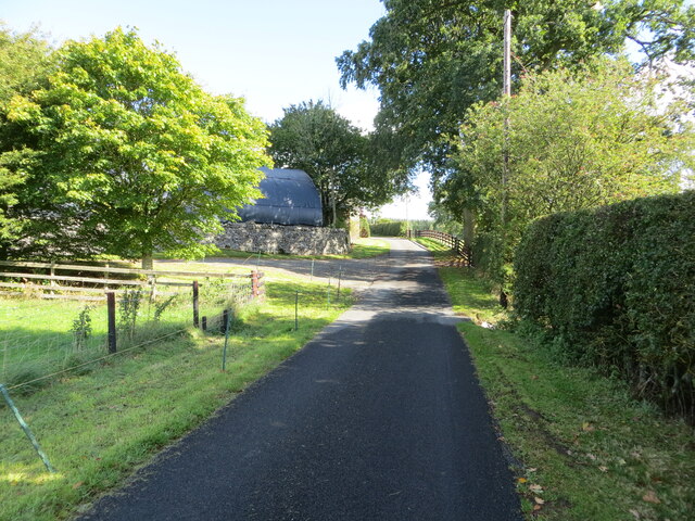
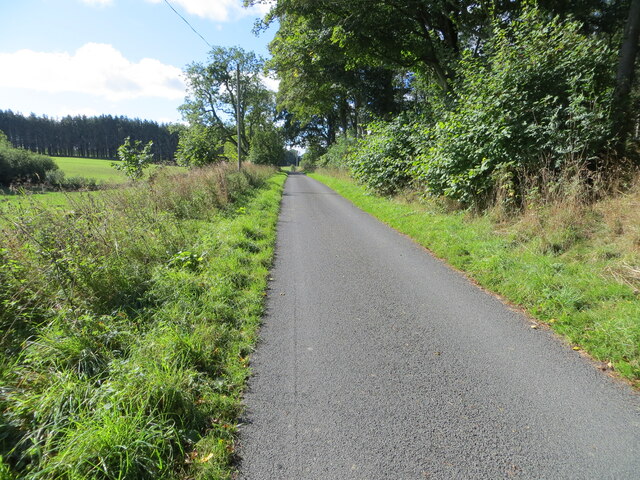
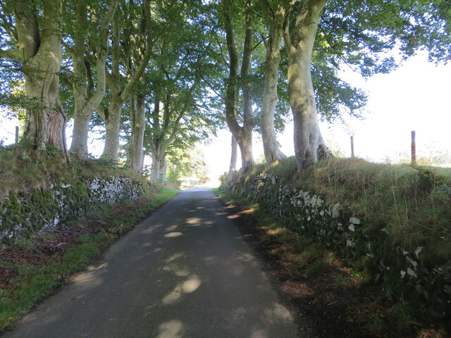
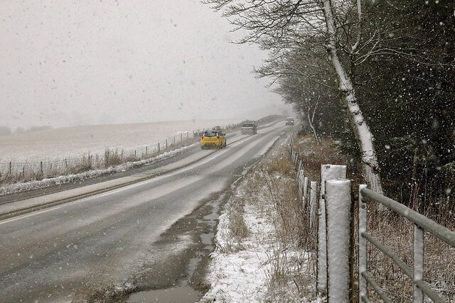
The woodland is accessible to the public, with well-maintained trails and paths that meander through the trees. These paths offer visitors the opportunity to explore the natural beauty of the area while enjoying a peaceful and tranquil atmosphere. The scent of pine and the sound of birdsong fill the air, creating a truly immersive experience for those who venture into Friarshawmuir Covert.

Overall, Friarshawmuir Covert is a captivating woodland in Roxburghshire, offering a haven for both flora and fauna. Its natural beauty and diverse ecosystem make it a cherished destination for nature lovers and an important part of the county's natural heritage.

If you have any feedback on the listing, please let us know in the comments section below.

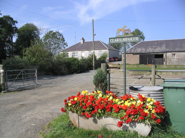
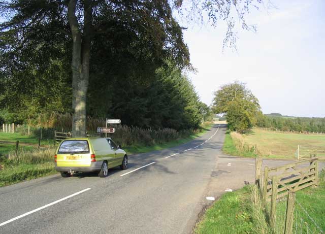
Friarshawmuir Covert Images

Images are sourced within 2km of 55.532339/-2.7806287 or Grid Reference NT5026. Thanks to Geograph Open Source API. All images are credited.

Wax cap fungi in Clarilawmuir Plantation
A drinking fountain at Midlem Village The fountain has been painted since this photo was taken <a href="https://www.geograph.org.uk/photo/961088">NT5227 : Midlem Village from the well</a>.
A drinking fountain at Midlem Village
The fountain has been painted since this photo was taken NT5227 : Midlem Village from the well.
Road (B6453) heading towards Houndshall Looking south-eastward.
Road (B6453) heading towards Houndshall
Looking south-eastward.
Minor road at Hounshall Looking north-eastward.
Minor road at Hounshall
Looking north-eastward.
Minor road heading towards Whitmuir Looking south-westward.
Minor road heading towards Whitmuir
Looking south-westward.
Wall enclosed minor road from Whitmuir joining the A699 road Looking northward.
Wall enclosed minor road from Whitmuir joining the A699 road
Looking northward.
The A699 at Clarilawmuir The road was viewed during a snow shower in early February.
The A699 at Clarilawmuir
The road was viewed during a snow shower in early February.
Singletrack from Murder Moss A path in a replanted strip wood.
Singletrack from Murder Moss
A path in a replanted strip wood.
Forest Pitch, ten years on Compare with Walter Baxter's 2012 photos see <a title="https://www.geograph.org.uk/stuff/list.php?title=The+Forest+Pitch+near+Selkirk&gridref=NT5028" href="https://www.geograph.org.uk/stuff/list.php?title=The+Forest+Pitch+near+Selkirk&gridref=NT5028">Link</a>
Forest Pitch, ten years on
Compare with Walter Baxter's 2012 photos see Link
Path to Lindean Reservoir Murder Moss lies off to the right.
Path to Lindean Reservoir
Murder Moss lies off to the right.
Village of Midlem
Village of Midlem
The Forest Pitch at Clarilawmuir Plantation near Selkirk Five years on and the pitch is covered in rough grass with sapling trees planted at either end. For the same view in 2012 and information about the project see <a href="https://www.geograph.org.uk/photo/3192889">NT5028 : The Forest Pitch near Selkirk</a>.
The Forest Pitch at Clarilawmuir Plantation near Selkirk
Five years on and the pitch is covered in rough grass with sapling trees planted at either end. For the same view in 2012 and information about the project see NT5028 : The Forest Pitch near Selkirk.
A track in Clarilawmuir Plantation A professional dog walker was using the network of tracks in the plantation.
A track in Clarilawmuir Plantation
A professional dog walker was using the network of tracks in the plantation.
A wooden sculpture at Midlem This splendid chainsaw-carved wooden sculpture of a heilan coo wearing a kilt stands in a prominent position at the edge of a grazing field overlooking the B6453 on the west side of the village.
A wooden sculpture at Midlem
This splendid chainsaw-carved wooden sculpture of a heilan coo wearing a kilt stands in a prominent position at the edge of a grazing field overlooking the B6453 on the west side of the village.
The Conservation Village of Midlem
Horses at Houdshall
Horses at Houdshall
The entrance to Clarilawmuir Farm
Road Junction on the A699 The car is travelling on the A699 Selkirk to St Boswells road. A right turn here leads to Whitmuirhall 1km to the southeast.
Road Junction on the A699
The car is travelling on the A699 Selkirk to St Boswells road. A right turn here leads to Whitmuirhall 1km to the southeast.
Show me another place!

Friarshawmuir Covert is located at Grid Ref: NT5026 (Lat: 55.532339, Lng: -2.7806287)

Unitary Authority: The Scottish Borders

Police Authority: The Lothians and Scottish Borders

What 3 Words

///newest.hubcaps.defected. Near Selkirk, Scottish Borders

Related Wikis

Lothian and Borders

Lothian and Borders is an area in Scotland consisting of the East Lothian, City of Edinburgh, Midlothian, West Lothian council areas (collectively known...

Selkirk transmitting station

The Selkirk transmitting station is a telecommunications facility located next to Lindean Loch, near Selkirk in the Scottish Borders. It includes a 229...

Lilliesleaf

Lilliesleaf is a small village and civil parish 7 miles (11 km) south east of Selkirk in the Roxburghshire area of Scottish Borders of Scotland. Other...

Selkirk High School

Selkirk High School is a high school in Selkirk, Scotland, which serves the town and its surrounding area including the Ettrick and Yarrow valleys and...

Related Videos

St Cuthberts Way - April 2023

https://www.walkhighlands.co.uk/borders/st-cuthberts-way.shtml 0:14 - Day One 9:34 - Day Two 16:02 - Day Three 21:12 - Day ...

TRAVEL GUIDE NORTHUMBERLAND: Where to stay & which places to visit (Part 1)

TRAVEL GUIDE NORTHUMBERLAND: Where to stay & which places to visit (Part 1)// Hello lovely people, We are so happy to ...

Nearby Amenities

Located within 500m of 55.532339,-2.7806287
Natural: peak
Lat/Long: 55.531557/-2.7768933
Friarshawmuir
Place: hamlet
Lat/Long: 55.5297674/-2.7777315
Kersknowe
Place: isolated_dwelling
Lat/Long: 55.5342222/-2.7804546
Noexit: yes
Lat/Long: 55.5345354/-2.7801076
Noexit: yes
Lat/Long: 55.5343026/-2.7805743
Power: pole
Lat/Long: 55.5335863/-2.7880558
Power: pole
Lat/Long: 55.5332564/-2.7874755
Power: pole
Lat/Long: 55.5329194/-2.7866662
Power: pole
Lat/Long: 55.5327321/-2.785185
Power: pole
Lat/Long: 55.5327091/-2.7849737
Power: pole
Lat/Long: 55.5325809/-2.7839481
Power: pole
Lat/Long: 55.5324253/-2.7826908
Power: pole
Lat/Long: 55.5320105/-2.7819807
Power: pole
Lat/Long: 55.5314358/-2.7810059
Power: pole
Lat/Long: 55.5310483/-2.7804969
Power: pole
Lat/Long: 55.5305571/-2.7795272
Power: pole
Lat/Long: 55.5302374/-2.7789088
Power: pole
Lat/Long: 55.5330591/-2.7839684
Power: pole
Lat/Long: 55.5334581/-2.782818
Power: pole
Lat/Long: 55.5338124/-2.7817771
The data included in this document is from www.openstreetmap.org. The data is made available under ODbL.

Have you been to Friarshawmuir Covert?

Leave your review of Friarshawmuir Covert below (or comments, questions and feedback).