Craigs Plantation
Wood, Forest in East Lothian
Scotland
Craigs Plantation
Craig's Plantation is a picturesque woodland located in East Lothian, Scotland. Situated amidst the scenic landscape, it covers a vast area that spans over several acres. The plantation is predominantly composed of various species of trees, creating a lush and vibrant forest environment.
The woodland is home to a diverse range of tree species, including oak, beech, Scots pine, and birch, among others. These trees form a dense canopy, providing a haven for numerous bird species and other wildlife. The forest floor is adorned with a carpet of moss, ferns, and wildflowers, adding to the natural beauty of the area.
Visitors to Craig's Plantation can explore the network of walking trails that wind through the forest. These paths provide an opportunity to immerse oneself in the tranquility of nature and enjoy the peaceful surroundings. The plantation offers a serene escape from the hustle and bustle of urban life, making it a popular destination for nature enthusiasts, hikers, and birdwatchers.
In addition to its natural beauty, Craig's Plantation also holds historical significance. It is believed to have been part of a larger estate in the past, with remnants of old stone walls and ruins still visible within the woodland. These historical features add an intriguing element to the plantation's charm.
Overall, Craig's Plantation is a captivating woodland that offers a peaceful retreat and a chance to connect with nature. Its combination of stunning scenery, diverse flora and fauna, and historical remnants make it a must-visit destination for those seeking solace and beauty in East Lothian.
If you have any feedback on the listing, please let us know in the comments section below.
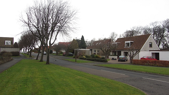
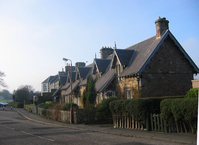
Craigs Plantation Images
Images are sourced within 2km of 56.042198/-2.7908948 or Grid Reference NT5083. Thanks to Geograph Open Source API. All images are credited.


Craigs Plantation is located at Grid Ref: NT5083 (Lat: 56.042198, Lng: -2.7908948)
Unitary Authority: East Lothian
Police Authority: The Lothians and Scottish Borders
What 3 Words
///brimmed.wires.sailors. Near Gullane, East Lothian
Nearby Locations
Related Wikis
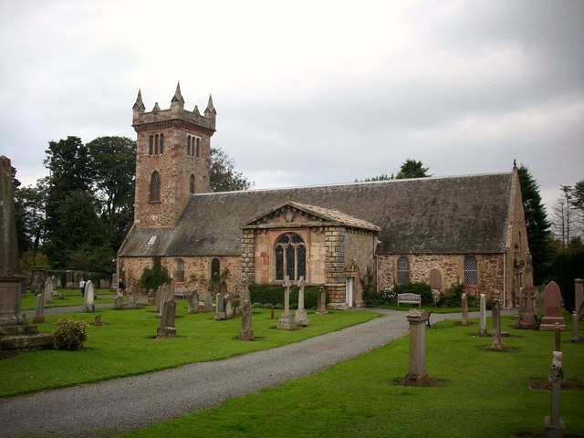
Dirleton Kirk
Dirleton Kirk is a church in the village of Dirleton, in East Lothian, Scotland. The church (at grid reference NT512842) is to the north of the village...
Dirleton
Dirleton is a village and civil parish in East Lothian, Scotland approximately 20 miles (32 km) east of Edinburgh on the A198. It contains 7,500 acres...

Renaissance Club
The Renaissance Club is a golf club in Scotland, located in North Berwick, twenty miles (30 km) east of Edinburgh. It hosted the 2017 Scottish Senior Open...

Women's Scottish Open
The FreeD Group Women's Scottish Open is a women's professional golf tournament in Scotland on the Ladies European Tour (LET). First played in 1986, it...
Related Videos

Amazing Scottish Medieval Castle
Dirleton Castle is a stunning example of a medieval Scottish castle, located in the pretty wee village of Dirleton in East Lothian, ...

One of Scotland's oldest surviving strongholds 🏰🏴🏴
One of Scotland's oldest surviving strongholds. Dirleton Castle in East Lothian.
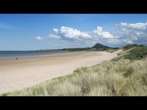
Yellowcraig Club site
An attractive, natural site separated by grass banking, shrubs and roses and only a short walk from acres of flat, golden sands of ...

Discover Scotland - Dirleton Castle & Village, East Lothian
A very attractive village built next to the castle, in an English style, with village green. The castle dates from 13th century and then ...
Nearby Amenities
Located within 500m of 56.042198,-2.7908948Have you been to Craigs Plantation?
Leave your review of Craigs Plantation below (or comments, questions and feedback).