Grants' Braes
Wood, Forest in East Lothian
Scotland
Grants' Braes

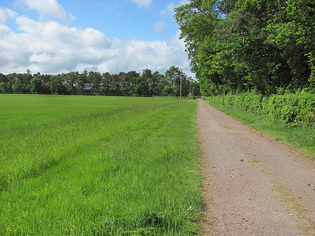
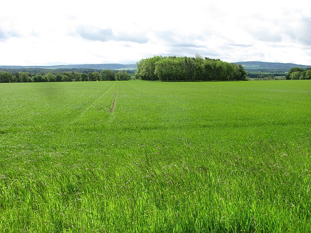
Grants' Braes is a picturesque woodland area located in East Lothian, Scotland. Covering a vast expanse of land, it is known for its enchanting beauty and serene atmosphere. The area is situated on a gently sloping hillside, offering breathtaking views of the surrounding countryside.
The woodland is predominantly made up of native trees such as oak, birch, and beech, creating a diverse and vibrant ecosystem. The dense foliage provides a haven for various species of birds, making it a popular destination for birdwatchers. Visitors can often spot woodpeckers, owls, and other woodland creatures in their natural habitat.
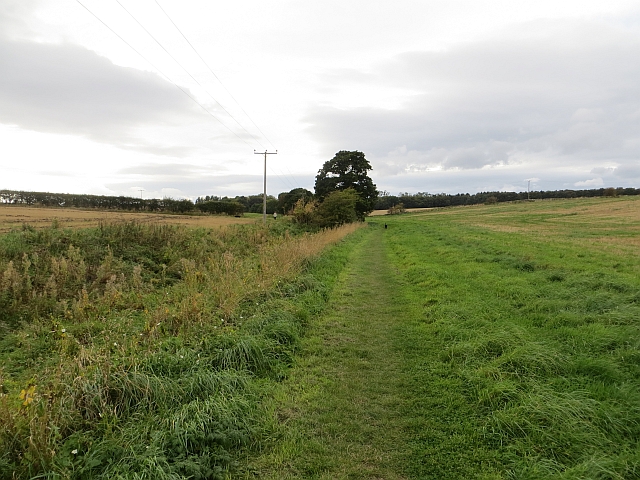
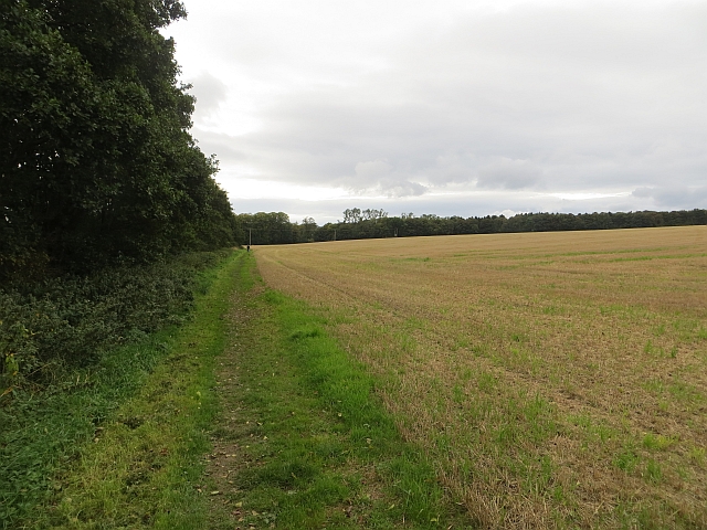
The Braes is crisscrossed with well-maintained walking trails, making it a perfect destination for nature enthusiasts and hikers. These paths wind through the forest, allowing visitors to explore its hidden nooks and crannies. Along the way, there are several viewpoints that offer stunning panoramas of the surrounding landscape.
Besides its natural beauty, Grants' Braes also holds historical significance. The area was once part of the estate belonging to the Grant family, who were prominent landowners in the region. The remnants of an old stone wall can still be seen, serving as a reminder of the area's past.
Overall, Grants' Braes is a true gem of East Lothian. Its lush woodland, abundant wildlife, and rich history make it a must-visit destination for nature lovers and history enthusiasts alike.
If you have any feedback on the listing, please let us know in the comments section below.
Grants' Braes Images
Images are sourced within 2km of 55.941393/-2.7884865 or Grid Reference NT5072. Thanks to Geograph Open Source API. All images are credited.


![Smallholding at Letham Mains One of a group by the Haddington-Pencaitland road [A6096]](https://s1.geograph.org.uk/geophotos/04/40/90/4409089_b39bdf81.jpg)


Grants' Braes is located at Grid Ref: NT5072 (Lat: 55.941393, Lng: -2.7884865)
Unitary Authority: East Lothian
Police Authority: The Lothians and Scottish Borders
What 3 Words
///loans.toward.fallen. Near Haddington, East Lothian
Nearby Locations
Related Wikis

Lennoxlove House
Lennoxlove House is a historic house set in woodlands half a mile south of Haddington in East Lothian, Scotland. The house comprises a 15th-century tower...

Haddington Athletic F.C.
Haddington Athletic Football Club are a Scottish football club based in Haddington, the county town of East Lothian. Nicknamed the Hi-His, the club were...

Knox Academy
Knox Academy is a co-educational state secondary school located in Haddington, East Lothian, Scotland. Originally founded in 1379 as a medieval grammar...

Siege of Haddington
The sieges of Haddington were a series of sieges staged at the Royal Burgh of Haddington, East Lothian, Scotland, as part of the War of the Rough Wooing...
Related Videos

Two Day Solo Hike on the John Muir Way: The East Coast!
Join me on this scenic 2 day section hike and wild camp on the John Muir Way from Cockburnspath to North Berwick, the route is ...

A holiday in East Lothian episode 6
In this episode, we visit the beautiful town of Haddington, where I show you our go to walk when we visit. I also take you into the ...

HADDINGTON SCOTLAND | a walk through Haddington, East Lothian, Scotland
HADDINGTON SCOTLAND | a walk through Haddington, East Lothian, Scotland Welcome to Haddington, the county town of East ...

HADDINGTON, Scotland // town historical walk in 4K
Walking along the picturesque streets of Haddington it is impossible not to notice the ancient age of this city: there is reliable ...
Nearby Amenities
Located within 500m of 55.941393,-2.7884865Have you been to Grants' Braes?
Leave your review of Grants' Braes below (or comments, questions and feedback).