Whitmuir Moss

Wood, Forest in Roxburghshire

Scotland

Whitmuir Moss

Wax cap fungi in Clarilawmuir Plantation
Wax cap fungi in Clarilawmuir Plantation Credit: Walter Baxter

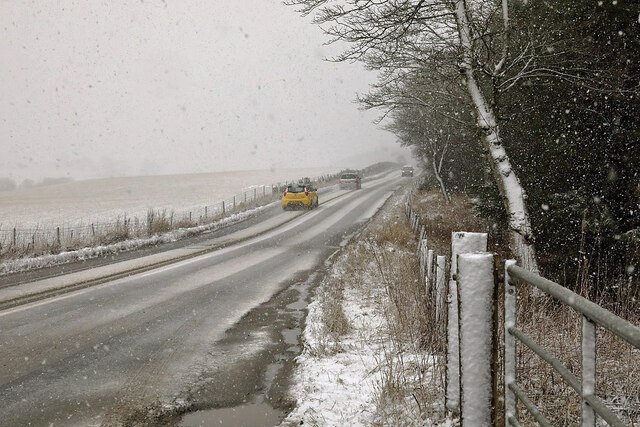
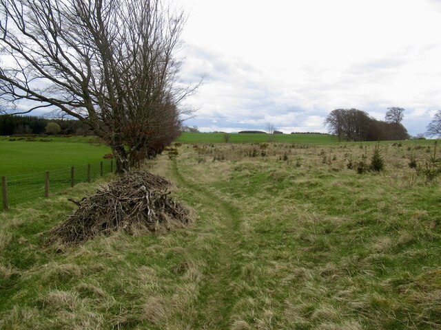
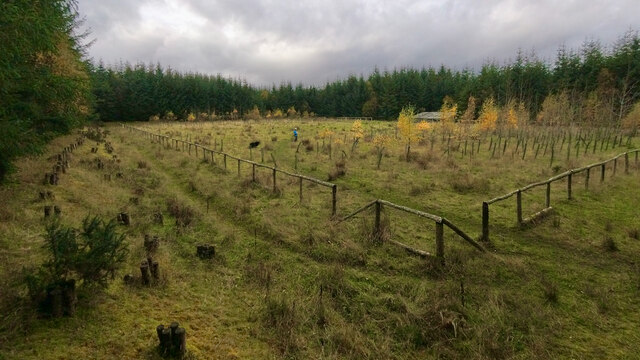
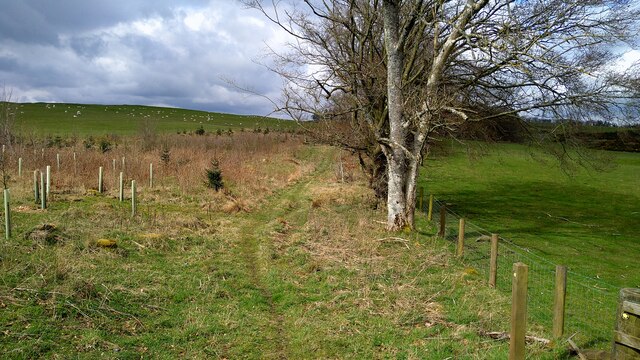
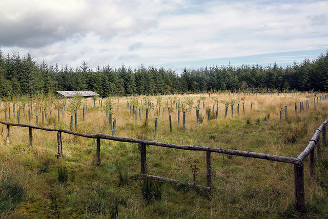
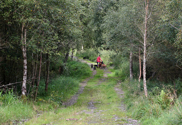
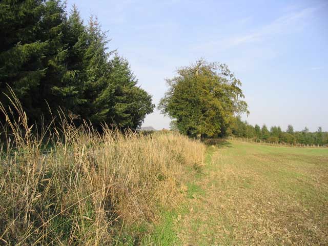
Whitmuir Moss, located in Roxburghshire, is a picturesque wood or forest area that spans over a vast expanse of land. With its serene and tranquil surroundings, it offers a haven for nature lovers, hikers, and outdoor enthusiasts alike.

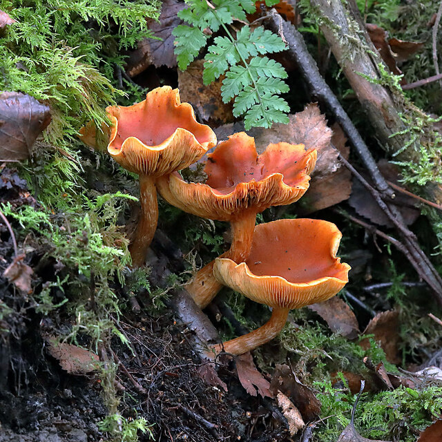
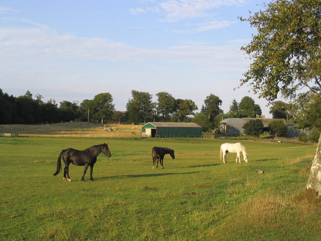
The moss is home to a diverse range of flora and fauna, making it an ideal spot for wildlife enthusiasts. Visitors can expect to encounter a variety of bird species, including the elusive woodpeckers and owls, as well as glimpses of red deer, foxes, and rabbits. The ancient trees that dominate the landscape provide shelter and food for these creatures, creating a thriving ecosystem.

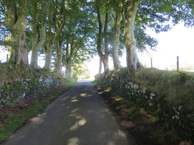
The wood itself is characterized by its dense foliage, with a mix of evergreen and deciduous trees. Towering oak and beech trees provide a canopy of shade during the summer months, while in autumn, the forest floor becomes a tapestry of vibrant colors as leaves change and fall.

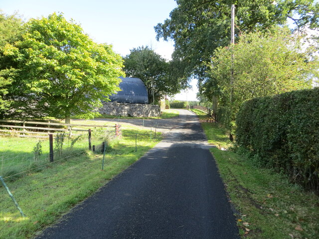
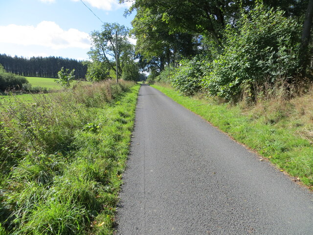
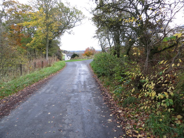
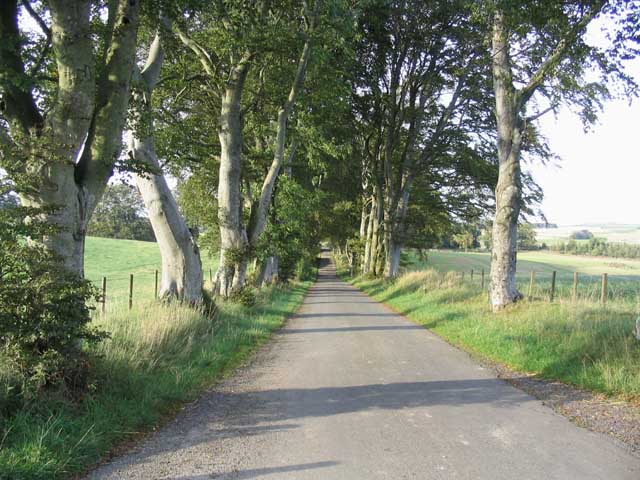
Trails and footpaths wind through the moss, offering visitors the opportunity to explore and immerse themselves in its natural beauty. A network of well-maintained paths provides easy access to the different areas of the wood, catering to both leisurely strolls and more challenging hikes.

Whitmuir Moss truly offers a sanctuary away from the hustle and bustle of everyday life. Its peaceful ambiance, coupled with its stunning natural scenery, makes it an idyllic destination for anyone seeking solace in nature or wishing to reconnect with the great outdoors.

If you have any feedback on the listing, please let us know in the comments section below.

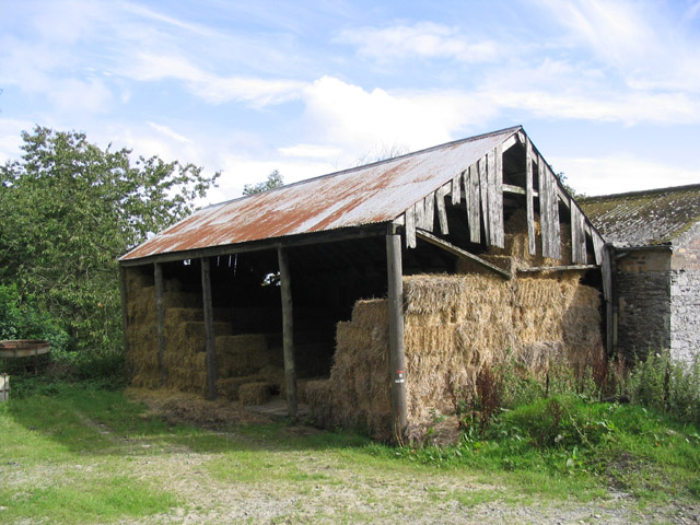
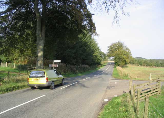
Whitmuir Moss Images

Images are sourced within 2km of 55.53108/-2.7905371 or Grid Reference NT5026. Thanks to Geograph Open Source API. All images are credited.

Wax cap fungi in Clarilawmuir Plantation
Minor road at Hounshall Looking north-eastward.
Minor road at Hounshall
Looking north-eastward.
Minor road heading towards Whitmuir Looking south-westward.
Minor road heading towards Whitmuir
Looking south-westward.
Wall enclosed minor road from Whitmuir joining the A699 road Looking northward.
Wall enclosed minor road from Whitmuir joining the A699 road
Looking northward.
The A699 at Clarilawmuir The road was viewed during a snow shower in early February.
The A699 at Clarilawmuir
The road was viewed during a snow shower in early February.
Singletrack from Murder Moss A path in a replanted strip wood.
Singletrack from Murder Moss
A path in a replanted strip wood.
Forest Pitch, ten years on Compare with Walter Baxter's 2012 photos see <a title="https://www.geograph.org.uk/stuff/list.php?title=The+Forest+Pitch+near+Selkirk&gridref=NT5028" href="https://www.geograph.org.uk/stuff/list.php?title=The+Forest+Pitch+near+Selkirk&gridref=NT5028">Link</a>
Forest Pitch, ten years on
Compare with Walter Baxter's 2012 photos see Link
Path to Lindean Reservoir Murder Moss lies off to the right.
Path to Lindean Reservoir
Murder Moss lies off to the right.
The Forest Pitch at Clarilawmuir Plantation near Selkirk Five years on and the pitch is covered in rough grass with sapling trees planted at either end. For the same view in 2012 and information about the project see <a href="https://www.geograph.org.uk/photo/3192889">NT5028 : The Forest Pitch near Selkirk</a>.
The Forest Pitch at Clarilawmuir Plantation near Selkirk
Five years on and the pitch is covered in rough grass with sapling trees planted at either end. For the same view in 2012 and information about the project see NT5028 : The Forest Pitch near Selkirk.
A track in Clarilawmuir Plantation A professional dog walker was using the network of tracks in the plantation.
A track in Clarilawmuir Plantation
A professional dog walker was using the network of tracks in the plantation.
Road approaching Clerklands Looking eastward.
Road approaching Clerklands
Looking eastward.
Clerklands
Clerklands
Horses at Houdshall
Horses at Houdshall
An old hay shed at Clerklands Farm
Road Junction on the A699 The car is travelling on the A699 Selkirk to St Boswells road. A right turn here leads to Whitmuirhall 1km to the southeast.
Road Junction on the A699
The car is travelling on the A699 Selkirk to St Boswells road. A right turn here leads to Whitmuirhall 1km to the southeast.
A beech avenue This is the unclassified road from Whitmuirhall that joins up with the A699 Selkirk to St Boswells road.
A beech avenue
This is the unclassified road from Whitmuirhall that joins up with the A699 Selkirk to St Boswells road.
Field edge by the A699
Sheep field Sheep and lambs in a field to the north of Riddellshiel Plantation.
Sheep field
Sheep and lambs in a field to the north of Riddellshiel Plantation.
Show me another place!

Whitmuir Moss is located at Grid Ref: NT5026 (Lat: 55.53108, Lng: -2.7905371)

Unitary Authority: The Scottish Borders

Police Authority: The Lothians and Scottish Borders

What 3 Words

///dubbing.advantage.waddle. Near Selkirk, Scottish Borders

Related Wikis

Lothian and Borders

Lothian and Borders is an area in Scotland consisting of the East Lothian, City of Edinburgh, Midlothian, West Lothian council areas (collectively known...

Selkirk transmitting station

The Selkirk transmitting station is a telecommunications facility located next to Lindean Loch, near Selkirk in the Scottish Borders. It includes a 229...

Selkirk High School

Selkirk High School is a high school in Selkirk, Scotland, which serves the town and its surrounding area including the Ettrick and Yarrow valleys and...

Lilliesleaf

Lilliesleaf is a small village and civil parish 7 miles (11 km) south east of Selkirk in the Roxburghshire area of Scottish Borders of Scotland. Other...

Nearby Amenities

Located within 500m of 55.53108,-2.7905371
Power: pole
Lat/Long: 55.5349733/-2.7898323
Power: pole
Lat/Long: 55.5342963/-2.7893615
Power: pole
Lat/Long: 55.5335863/-2.7880558
Power: pole
Lat/Long: 55.5332564/-2.7874755
Power: pole
Lat/Long: 55.5329194/-2.7866662
Power: pole
Lat/Long: 55.5327321/-2.785185
Power: pole
Lat/Long: 55.5327091/-2.7849737
Power: pole
Lat/Long: 55.5325809/-2.7839481
Power: pole
Lat/Long: 55.5330591/-2.7839684
The data included in this document is from www.openstreetmap.org. The data is made available under ODbL.

Have you been to Whitmuir Moss?

Leave your review of Whitmuir Moss below (or comments, questions and feedback).