Well Wood

Wood, Forest in Roxburghshire

Scotland

Well Wood

Hareshawhead Plantation This bit of the wood  <a href="https://www.geograph.org.uk/photo/4202787">NT4842 : Clear felled area,  Hareshawhead Plantation</a> nearly five years on. A new crop of trees is getting established.
Hareshawhead Plantation Credit: Richard Webb

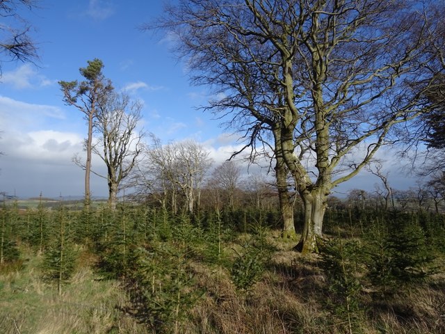
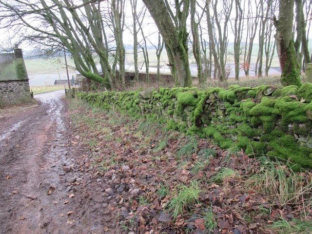
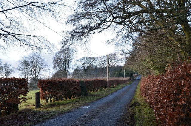
Well Wood is a picturesque forest located in Roxburghshire, a historic county in the southern part of Scotland. Covering an area of approximately 500 acres, it is situated near the village of Wood. The forest is known for its abundance of well-established trees, including oak, beech, and birch, which create a dense canopy overhead.

Well Wood is a popular destination for nature enthusiasts and outdoor adventurers, offering a range of activities. There are numerous well-maintained trails that wind through the forest, providing opportunities for hiking, walking, and cycling. These trails offer visitors a chance to explore the diverse flora and fauna that call the forest home.

In addition to its natural beauty, Well Wood also has historical significance. The forest is believed to have been an important hunting ground for the ancient Scottish kings. It is also said to have been a hiding place for local outlaws during the medieval period.

The management of Well Wood is overseen by the local forestry commission, which ensures that the forest remains well-preserved and accessible to visitors. The commission also organizes educational programs and events to promote conservation and raise awareness about the importance of sustainable forestry.

Overall, Well Wood is a tranquil and enchanting forest that offers a peaceful escape from the hustle and bustle of everyday life. Whether it's for a leisurely stroll, a challenging hike, or simply to appreciate the beauty of nature, Well Wood is a must-visit destination for nature lovers visiting Roxburghshire.

If you have any feedback on the listing, please let us know in the comments section below.
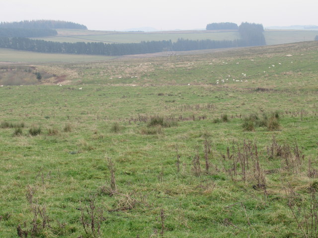
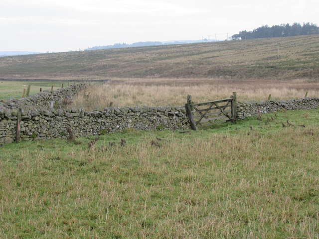
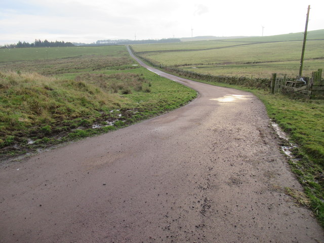
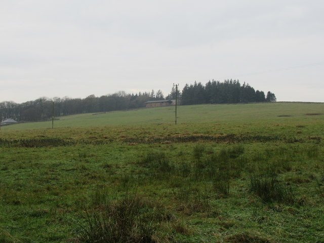
Well Wood Images

Images are sourced within 2km of 55.671458/-2.8022538 or Grid Reference NT4942. Thanks to Geograph Open Source API. All images are credited.

Hareshawhead Plantation This bit of the wood  <a href="https://www.geograph.org.uk/photo/4202787">NT4842 : Clear felled area,  Hareshawhead Plantation</a> nearly five years on. A new crop of trees is getting established.
Hareshawhead Plantation
This bit of the wood NT4842 : Clear felled area, Hareshawhead Plantation nearly five years on. A new crop of trees is getting established.
Longpark Wind Farm On the ridge southeast of Stow.
Longpark Wind Farm
On the ridge southeast of Stow.
Turbine, Longpark Wind Farm With Meigle Hill in the background.
Turbine, Longpark Wind Farm
With Meigle Hill in the background.
Stow to Wooplaw road Passing the Longpark Wind Farm and Hareshawhead Plantation.
Stow to Wooplaw road
Passing the Longpark Wind Farm and Hareshawhead Plantation.
Icy track above Allanshaws Farm near Lauder in the Scottish Borders
Icy track leading to Allanshaws near Lauder in the Scottish Borders
Branch track on Allanshaws Farm near Lauder in the Scottish Borders
Rough grazing on west bank of Allan Water near Lauder in the Scottish Borders
Handy gate on to Allan Water side near Lauder in the Scottish Borders
Road from Allanshaws near Lauder in the Scottish Borders
Allanshaws above Lauder in the Scottish Borders
Woodland above Allanshaws near Lauder in the Scottish Borders
Woodland on Allanshaws near Lauder in the Scottish Borders
Mossed-over wall on Allanshaws near Lauder
Steep farm track on Allanshaws near Lauder in the Scottish Borders
Mature woodland strip on Allanshaws near Lauder in the Scottish Borders
View south-east over west bank of Allan Water near Lauder in the Scottish Borders
Road to Stow, Wooplaw The minor road through farmland bordering Longpark windfarm.
Road to Stow, Wooplaw
The minor road through farmland bordering Longpark windfarm.
Show me another place!

Well Wood is located at Grid Ref: NT4942 (Lat: 55.671458, Lng: -2.8022538)

Unitary Authority: The Scottish Borders

Police Authority: The Lothians and Scottish Borders

What 3 Words

///keep.pampering.bake. Near Lauder, Scottish Borders

Related Wikis

Allanshaws

Allanshaws is a place and farm off the B6362, in Lauderdale, by the Allan Water, in the parish of Melrose in the Scottish Borders area of Scotland, formerly...

Bow Castle Broch

Bow Castle is the remains of an iron-age broch near the Gala Water, in the Scottish Borders area of Scotland, in the parish of Stow. It is a scheduled...

Buckholm

Buckholm is a farm near to the A7, in the Scottish Borders, Galashiels area of Scotland. Places nearby include Abbotsford, the Bow Castle Broch, Clovenfords...

Stow of Wedale Town Hall

Stow of Wedale Town Hall is a municipal building in Earlston Road, Stow of Wedale, Scottish Borders, Scotland. The structure, which serves as a community...

Nearby Amenities

Located within 500m of 55.671458,-2.8022538
Wooplaw
Place: hamlet
Lat/Long: 55.6695064/-2.8049224
Power: pole
Lat/Long: 55.6670176/-2.8011596
Power: pole
Lat/Long: 55.6676953/-2.8015512
Power: pole
Lat/Long: 55.6682793/-2.8018248
Power: pole
Lat/Long: 55.668966/-2.8021359
Power: pole
Lat/Long: 55.6695923/-2.8024417
Power: pole
Lat/Long: 55.6703214/-2.8028065
Power: pole
Lat/Long: 55.6719157/-2.8036434
Power: pole
Lat/Long: 55.6727234/-2.8040028
Power: pole
Lat/Long: 55.673519/-2.8044373
Power: pole
Lat/Long: 55.6742964/-2.8048611
Bench
Lat/Long: 55.6706383/-2.7949651
Power: pole
Lat/Long: 55.6754437/-2.80432
Power: pole
Lat/Long: 55.6711509/-2.8032419
The data included in this document is from www.openstreetmap.org. The data is made available under ODbL.

Have you been to Well Wood?

Leave your review of Well Wood below (or comments, questions and feedback).